Elevation: 9,620 ft
Prominence: 360

This peak is not in the book. Published November 2022
Peak 9620 sits at the head of Leroux Creek. It is on a long, high ridgeline that has Peak 9846 as its high point to the northeast. This ridgeline parallels the Murdoch Creek drainage for miles. The 2-mile ridge traverse between Peak 9620 and Peak 9846 is a worthwhile endeavor and covers two ranked summits in the Boulder Mountains. USGS Amber Lakes

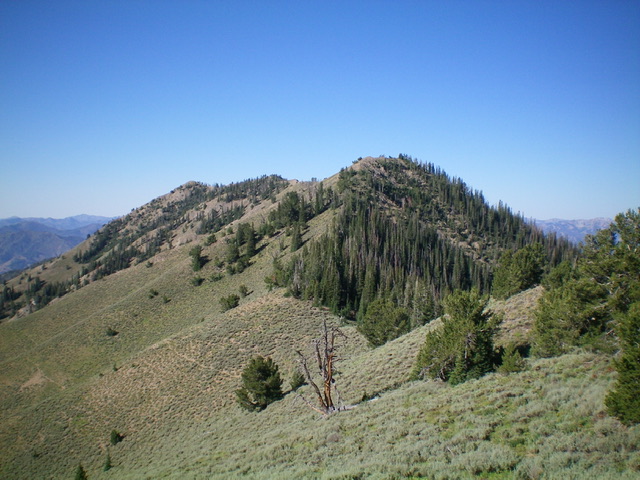
The summit massif of Peak 9620 and its northeast ridge (in dead center), my descent route. The summit is at far left on the ridgeline. Livingston Douglas Photo
Access
From ID-75 north of Ketchum, turn right/north onto [signed] North Fork Big Wood River Road/FSR-146 (signed for the SNRA Headquarters). Reset your odometer here. At 0.1 miles, reach the SNRA visitor center (left). At 1.0 miles, reach the signed turnoff for the Murdoch Creek trailhead (right). Turn right here and drive 0.4 miles to the trailhead (6,460 feet).
Map Errors
The 2nd footbridge crossing of Murdoch Creek is much earlier than the USGS topo map indicates. It is at the ¾-mile point at about 6,600 feet. Contrary to what the USGS topo map shows, Murdoch Creek Trail ends at about 7,200 feet where it fords Murdoch Creek, crossing to the right/east side of the creek.
West Shoulder/South Ridge, Class 3
The Climb
From the Murdoch Creek trailhead, hike about ½ mile up Murdoch Creek Trail and leave the wide, well-beaten trail to climb up onto the shoulder in open scrub. If you reach the 2nd footbridge, you’ve gone about 1/8 mile too far. Leave the trail and bushwhack northeast up through steep scrub onto the shoulder. Once on the ridge crest, follow the rounded shoulder right/east. You will soon reach a rocky section of Class 3 ridge outcrops/towers with ridge pines mixed in.
Higher up, the rocky outcrops disappear and the slope eases. The forest is more open and the forest floor is easy. The final push to the south ridge is up a steep sagebrush slope with gaps in the scrub. The south ridge is open terrain and is a mix of scrub and scree (not too bad). It is a bit of a chore to get from Point 9587 to the true summit (which is 20 feet higher, according to my altimeter). Ridge pines re-enter the mix on this traverse and are all along the ridge crest to Peak 9846, an ever-present headache. The summit hump of Peak 9620 is open and showed no signs of previous ascent so I built a summit cairn.
Northeast Ridge, Class 2
The Descent
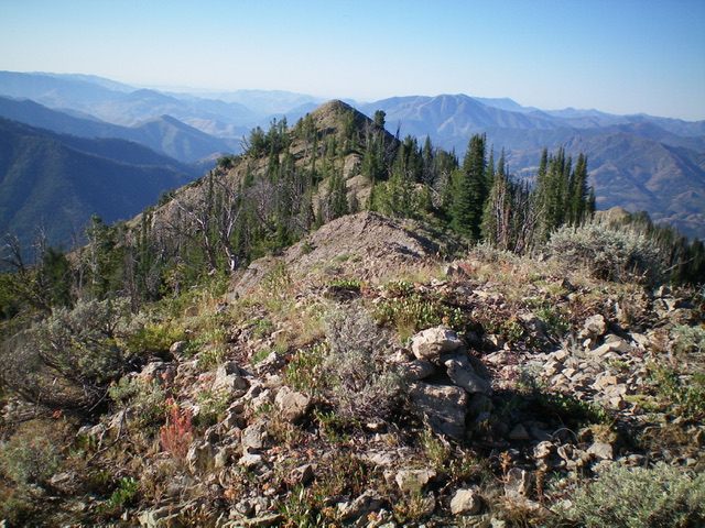
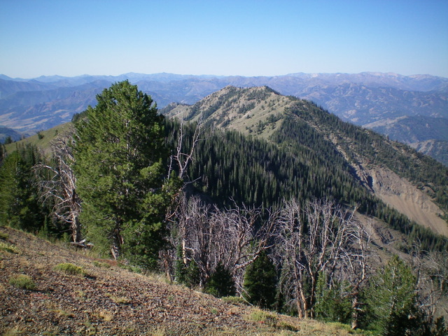
From the summit, follow the ridge crest northeast over several ridge humps and, finally, over Point 9555 then down to the 9,260-foot connecting saddle with Peak 9846. The ridge terrain is a mix of narrow, rocky sections (an easy scramble on top of the ridge crest), scrub, and rocky outcrops with pines mixed in. It is a bit tedious, particularly with the unending ups and downs. The connecting ridge is at the base of the northeast ridge of Peak 9620 and concludes the first leg of today’s 2-peak adventure. Peak 9846 is up next.
Additional Resources
Regions: Boulder Mountains->EASTERN IDAHO
Mountain Range: Boulder Mountains
Longitude: -114.37779 Latitude: 43.81409

