Elevation: 9,900 ft
Prominence: 1,360
This peak is not in the book. Published November 2020
The Knuckle is a rugged, narrow ridgeline peak on the Continental Divide that sits east of the rocky outcrop called The Thumb. This climb is the second peak in a three-peak journey that includes Peak 9284, The Knuckle, and The Thumb (9,787 feet). USGS Edie Creek
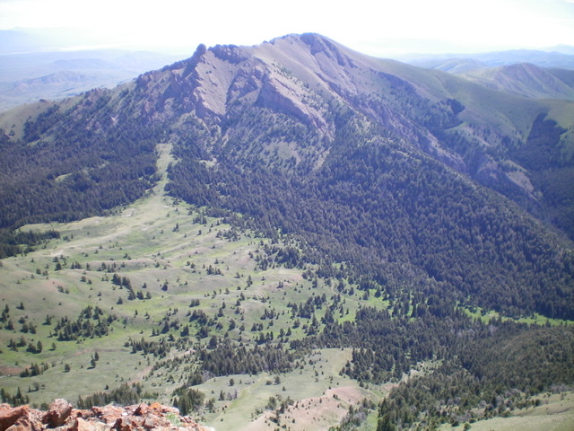
The Knuckle (dead center in distance) with The Thumb (rocky protrusion left of center) as viewed from Cobble Mountain to the west. Livingston Douglas Photo
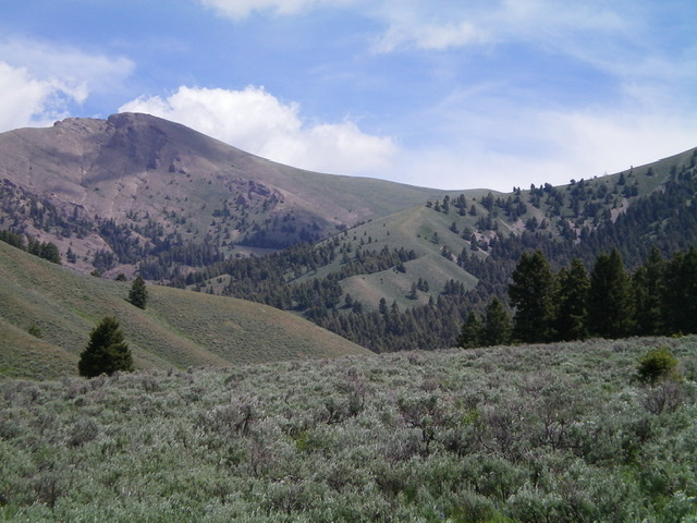
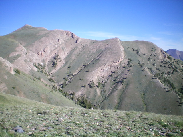
The Knuckle (summit is left of center) and its smooth, easy southeast ridge (the skyline). The approach follows the partially-forested shoulder in mid-ground from lower left to upper right to intersect a north-south ridge that heads left up to the Continental Divide southeast of The Knuckle. Livingston Douglas Photo
Access
Same as for Peak 9284. This is the second leg of a three-peak journey.
Southeast Ridge, Class 2
The Climb
From the juncture on the Continental Divide (9,360 feet), scramble northwest up a scrub slope to the narrow, rocky ridge crest summit of The Knuckle. The terrain on the Continental Divide changes dramatically here from gentle and easy to the east to rocky, exposed, and narrow to the west.
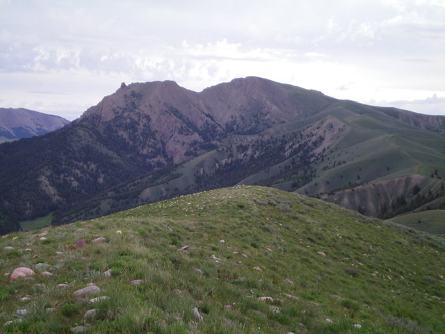
The Knuckle (dead-center) and The Thumb (rocky protrusion well left of center) as viewed from the south. Livingston Douglas Photo
West Ridge, Class 2+
The Descent
From the small, rocky summit of The Knuckle, descend northwest through a series of crumbly spires and blocks somewhat steeply to a narrow saddle (Class 2+/3). This ridge section also includes some small gullies and ledges with unstable scree mixed in. This is not a pleasant place to be ridge scrambling. This concludes the second leg of today’s journey. The Thumb is up next.
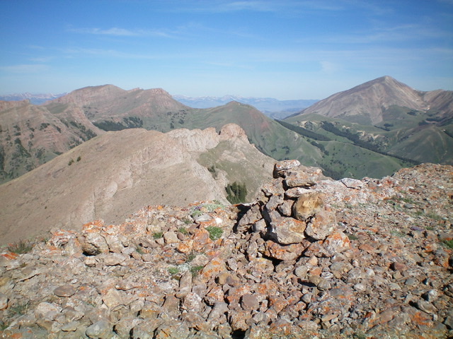
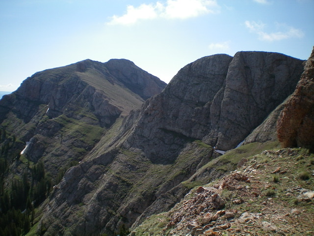
The summit cairn atop The Knuckle, looking west at Point 9787 (flattish ridge left of center) and The Thumb (mid-ground, dead center). Livingston Douglas Photo
Looking down the west ridge of The Knuckle from the summit. The photo hides the ridge chop between the summit and the smoother terrain farther down the ridge. Livingston Douglas Photo
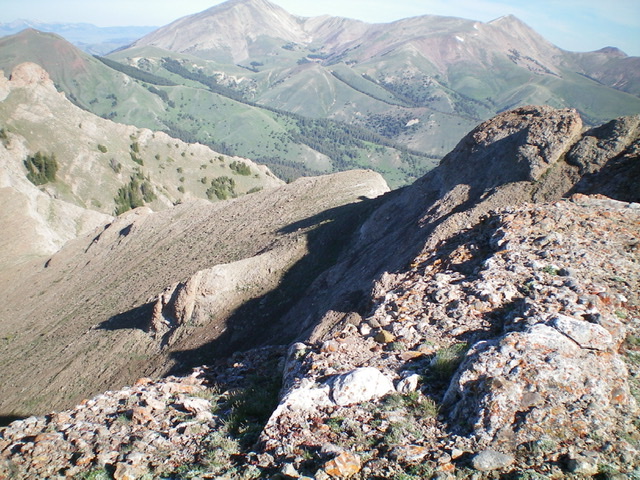
The Knuckle (summit is to the far left) and its magnificent east ridge as viewed from the south. Livingston Douglas Photo
Looking back at The Knuckle (the ridgeline left of center) from the base of The Thumb. Point 9787 is the rocky outcrop right of center. Livingston Douglas Photo
Additional Resources
Regions: Beaverhead Range->EASTERN IDAHO
Mountain Range: Beaverhead Range
Longitude: -112.54089 Latitude: 44.48301