Elevation: 8,108 ft
Prominence: 528
This peak is not in the book. Also see the Garns Mountain, Piney Peak and Red Butte Traverse page for additional details on how to reach these three summits. Livingston Douglas added a photo. Updated October 202t
Red Butte is a rather strange concoction with four separate summits. One summit is forested, another is a hump of red gravel, and the other two summits are rocky outcrops. The true summit is measured at 8,108 feet but the nearby west summit shares the same high contour line and measures only five feet lower according to my altimeter, which is too close to call. Stand atop both just to be sure. Based on the contour lines, the two rocky outcrops are lower. Red Butte is the highest point in Madison County. USGS Temple Peak
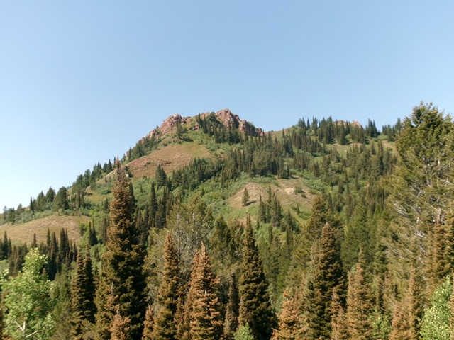
Red Butte as viewed from the valley floor to its northeast. Livingston Douglas Photo
Access
From the the Caribou-Targhee National Forest office on US-26 at the north end of Idaho Falls, drive 13.6 miles east on US-26 to a signed junction for the Kelly Canyon ski area. Turn left/north onto a paved road. Set your odometer to 0.0 here. At 1.9 miles, go right at an unsigned junction. At 3.1 miles, cross the Snake River on a bridge then immediately reach a “T” junction. Go right/east here onto Heise Road.
At 5.4 miles, go left at a signed fork in the road. At 7.9 miles, enter the Caribou-Targhee National Forest. You are now on FSR-218. At 8.9 miles, reach a signed junction with FSR-217 (the “Y” junction). Go straight here to stay on FSR-218. At 19.4 miles, reach a signed junction with FSR-651. Go right onto FSR-651 and drive 1.8 miles east on FSR-651 to its end at the trailhead parking area for FST-077 (an ATV trail). The trailhead elevation is 7,220 feet.
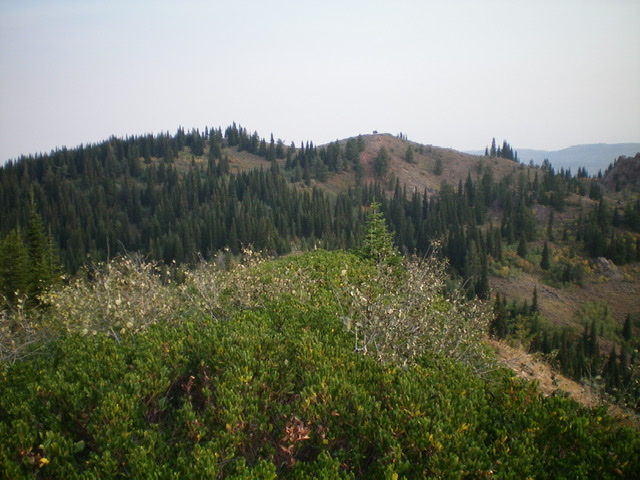
Red Butte (in mid-ground) as viewed from Prospect Peak to its south. The true summit is the bare right hump. Livingston Douglas Photo
South Shoulder, Class 2
The Climb
Hike up FST-077 for 1.2 miles to a [signed] trail junction. Go right onto FST-121. Follow FST-121 east for 0.8 miles to a [signed] trail junction. Go right to remain on FST-121. FST-121 is now a narrow MC trail. Hike 0.4 miles up FST-121 to a ridge saddle that sits between Red Butte and Prospect Peak. Leave the trail and bushwhack north through veg/brush to reach a shoulder of sorts with some large pine trees on it. There are cattle trails in this area most of the way up this route.
Follow a cattle trail up the shoulder to get to open sagebrush above the pines. Scramble north then northeast to the small, red gravel summit of Red Butte. There is no summit cairn on top. The northwest summit is about 150 yards away and has an old jeep track leading up to it. Visually, it appears to be the same height and the altimeter measured it at only five feet lower, which is too close to completely disregard.
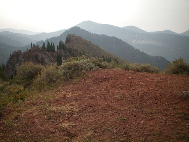
The summit area atop Red Butte, looking south. Note the two rocky outcrops on the Red Butte massif as well as Temple Peak (WY)–the dark, forested hump immediately behind the rocky outcrops. Livingston Douglas Photo
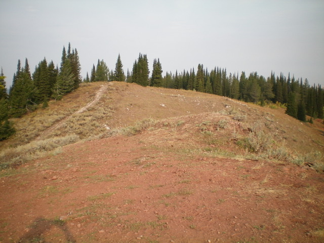
Looking northwest from the summit of Red Butte. The [slightly-lower] northwest summit has an ATV road leading up to it. Livingston Douglas Photo
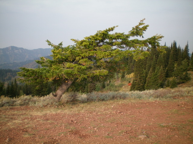
The solo, wind-contorted pine tree on the true summit of Red Butte. Livingston Douglas Photo
Additional Resources
Mountain Range: Big Hole and Snake River Mountains
Longitude: -111.41409 Latitude: 43.65979
Pingback: Idaho County Highpoints by Andy Martin - IDAHO: A Climbing Guide