Elevation: 8,952 ft
Prominence: 2,202
This peak is not in the book. Published November 2020
Red Benchmark is the high point on Red Ridge. Red Ridge is one of many named ridges in this part of the Caribou Range. Red Benchmark has two USGS benchmarks atop it. It is most easily climbed from the Red Ridge Trail/FST-264 and the northeast shoulder. As a P2K peak, Red Ridge is a sought-after prize for many climbers. USGS Red Ridge
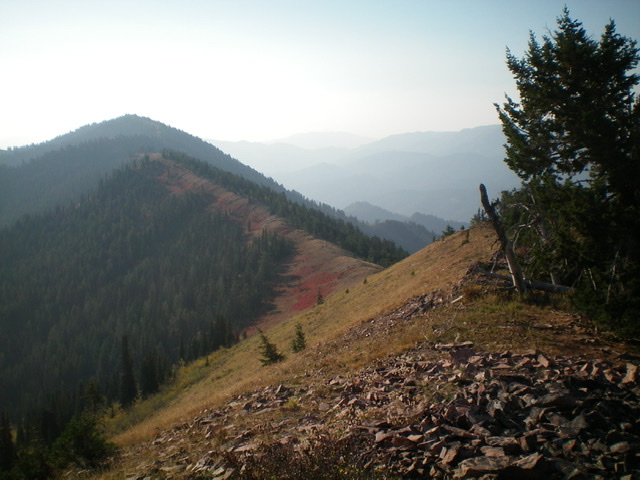
Red Benchmark and the final section of its northwest ridge. Livingston Douglas Photo
Access
Same as for Red Peak. This is the final leg of a two-peak journey that begins at the Long Gulch trailhead.
Northwest Ridge, Class 2
The Climb
From the 8,500-foot connecting saddle with Red Peak, scramble southeast on Red Ridge all the way to the summit of Red Benchmark. The ridge scramble is tedious. It is narrow and includes some ups and downs along the way. There are more trees than the USGS topo map indicates. The terrain is a combination of embedded talus, brush, ridge trees, blowdown, and boulders. You must climb over Point 8648, a rocky outcrop along the way.
Side-hilling on the left/northeast side of the ridge is sometimes required to avoid the worst of the ridge crest issues. There are occasional, scanty game trails to help. The summit of Red Benchmark is small and is clogged with brush. It has a summit cairn and has two USGS benchmarks in separate ground boulders. The view of Swan Valley is splendid.
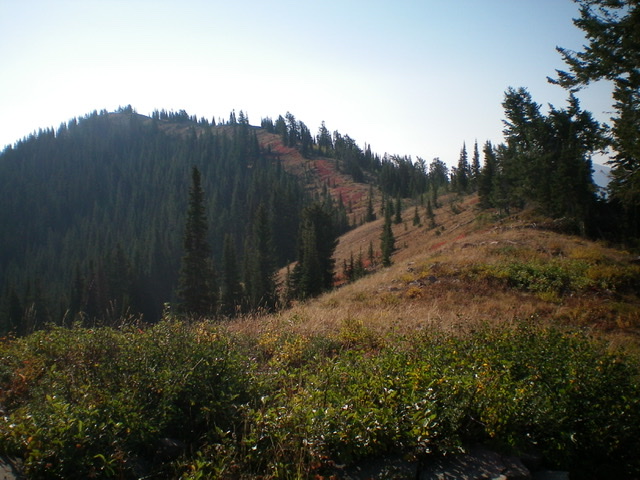
The long ridge traverse from Red Peak to Red Benchmark, as viewed from the summit of Red Peak. Red Benchmark is the most distant, forested hump (left of center). Livingston Douglas Photo

A very tall, dinner-plate shale cairn on Red Ridge between Point 8648 and Red Benchmark. Livingston Douglas Photo
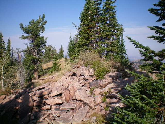
The summit of Red Benchmark. Livingston Douglas Photo
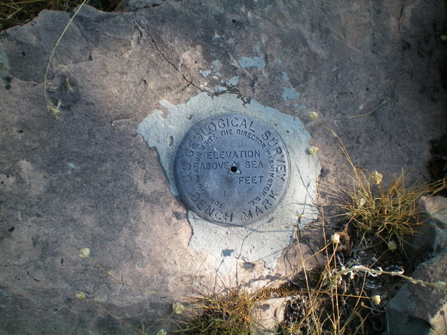
The USGS benchmark atop Red Benchmark. There is another one close by. Livingston Douglas Photo
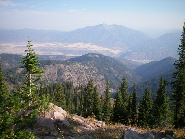
View of beautiful Swan Valley from the summit of Red Benchmark. Livingston Douglas Photo
Northeast Shoulder, Class 2
The Descent
From the summit, descend north-northeast on steep talus/boulders to find a shoulder. Enter the forest and bushwhack through a dense forest with some embedded talus. After a 350-foot vertical descent, intercept FST-264 where it crosses the shoulder. Go left/northwest onto FST-264 (a narrow foot path and MC trail) and follow it all the way back to the Long Gulch trailhead. FST-264 undulates a bit and drops 200 vertical feet before climbing up to the 8,380-foot saddle at the base of the northeast face of Red Peak. It’s mostly downhill from this saddle to the trailhead.
Additional Resources
Regions: Caribou Range->SOUTHERN IDAHO
Mountain Range: Caribou Range
Longitude: -111.29079 Latitude: 43.32139