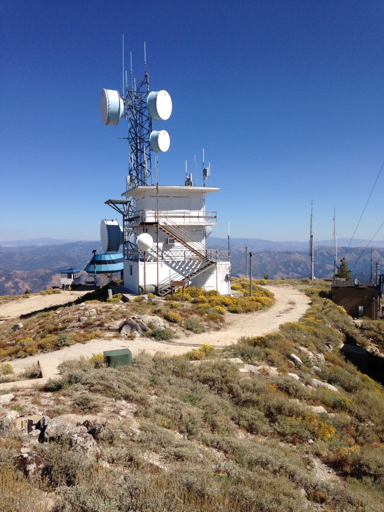
Elevation: 7,582 ft
Prominence: 2,726
This peak is not in the book. Updated February 2021
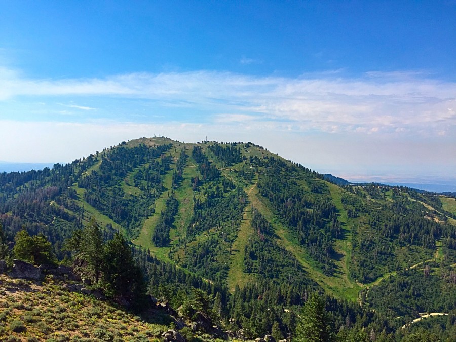
Shafer Butte is a big, scenic mountain which dominates the southwest corner of the Boise Mountains. It is located just north of Boise. The peak is surrounded by the Bogus Basin Ski Resort. The fire lookout is still standing but is no longer used by the Forest Service. The summit is now festooned by an assortment of communications towers. USGS Shafer Butte
The area around the peak is a maze of ski runs, roads, cat tracks, hiking trails, and mountain bike trails. The roads and cat tracks leading up to the summit are not open to motorcycles or ATVs other than Government and Bogus Basin vehicles. Thus, during the Summer, it’s a great place to mountain bike or hike. I recommend doing this during the week since the resort is busy on Summer weekends. After years of exiting a lift near the summit I decided to get to the top self-propelled and rode my mountain bike to the summit. With all the trails, roads and cat tracks, there are many ways to get to the top in addition to my recommended route (below).
The Bogus Basin Ski Resort’s website is worth a visit to check on current conditions and events. Bogus maintains a map showing all of the summer trails at this Link: Summer Trails. If you are in the area check out the Mores Mountain page. The peak is right next-door to Shafer Butte and is worth a visit.
Access
Bogus Basin is reached by a twisting paved road from Boise [(A)(1) on Page 153]. Google Maps will get you to the resort. Search for Pioneer Lodge, Bogus Basin. It is 20.0 miles from Main Street in Boise to the lodge, where there is a large paved parking lot.
Pioneer Lodge to the Summit via the Tempest Trail, Class 1
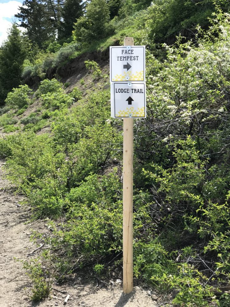
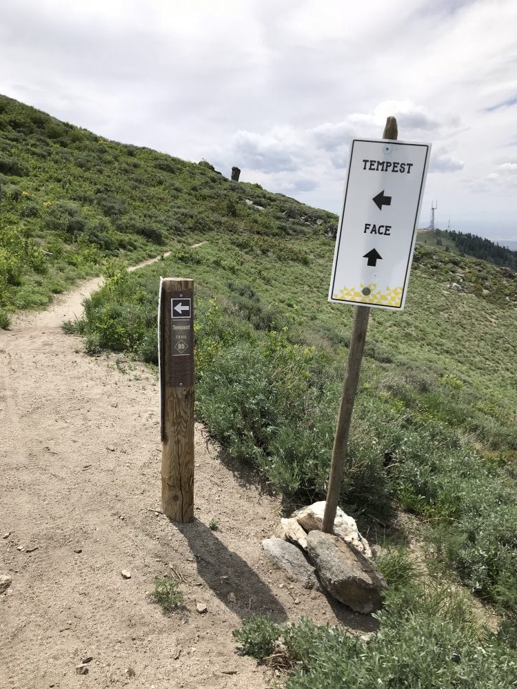
From the lodge, walk east toward a ski lift (currently under construction) crossing over an old tennis court installation. From the ski lift, take the Lodge Trail (road) north and across the peak’s West Slopes. In roughly 0.4 miles, you will come to a signed intersection with the Tempest Trail. Turn onto this trail and follow it as it switchbacks up the West Slopes. At 7,400 feet, the trail traverses southeast along the summit ridge, passes under the Superior Lift, and ends at the top of the Pine Creek Lift. From this point, follow the road east to the summit area just behind the old fire lookout. The lookout is just above you and the true summit is just behind the lookout. This route covers 1.5 miles (3.0 miles RT) with 750 feet of elevation.
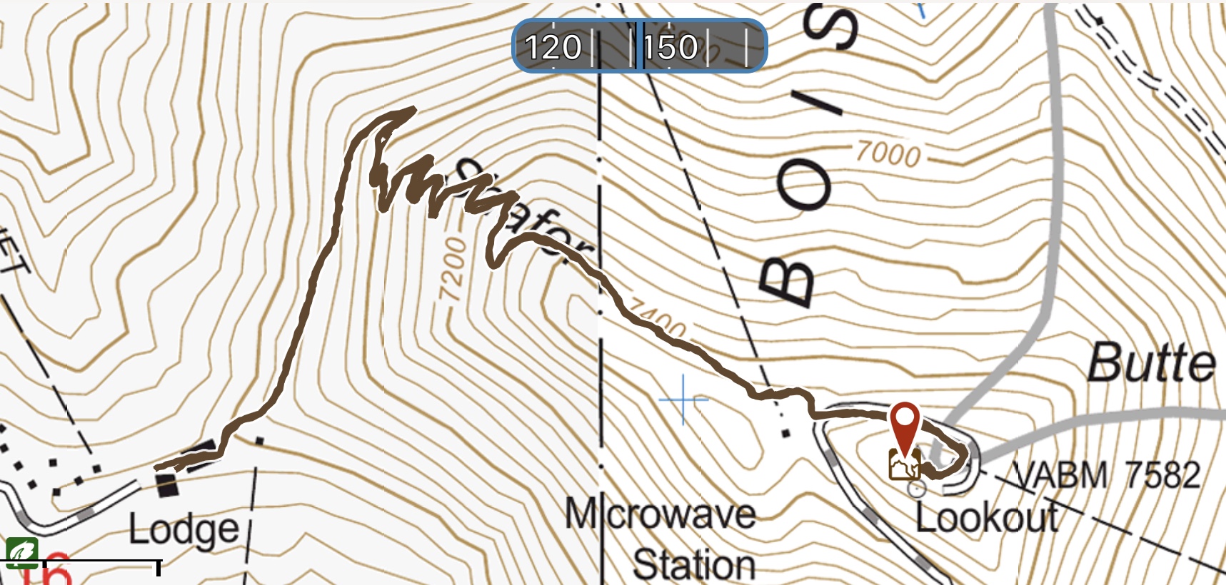
My GPS track uses the Lodge Trail and Tempest Trail. Note: The USGS and Forest Service topo maps do not show all of the roads and trails that you will encounter.
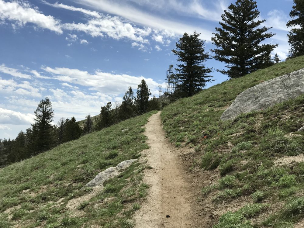
As the trail begins the traverse along the summit ridge, the communications equipment can be spotted above.
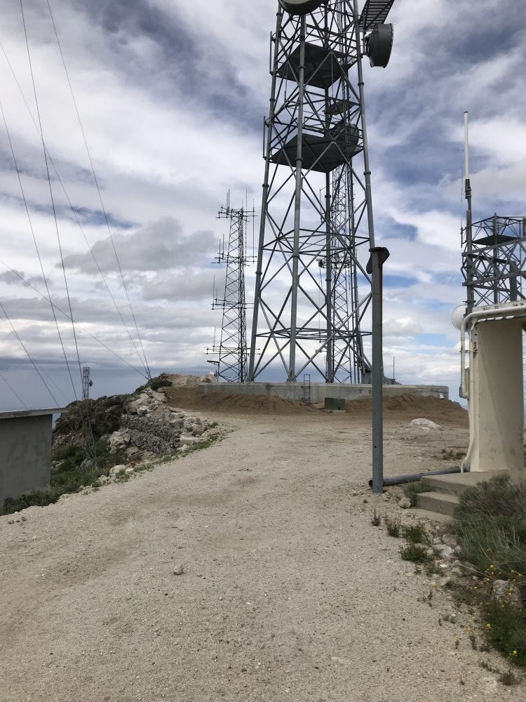
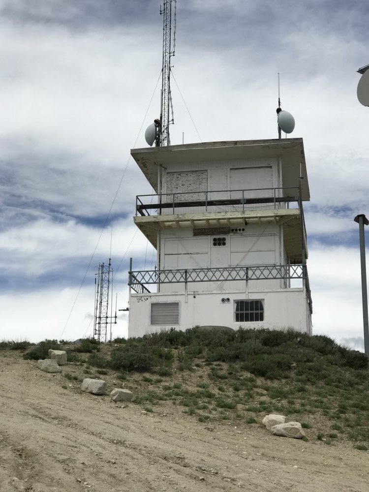
As of 2018, the true summit has been altered by the removal of the original viewing platform and the addition of a new communications tower. See the next photo for the way the summit looked before the new construction.
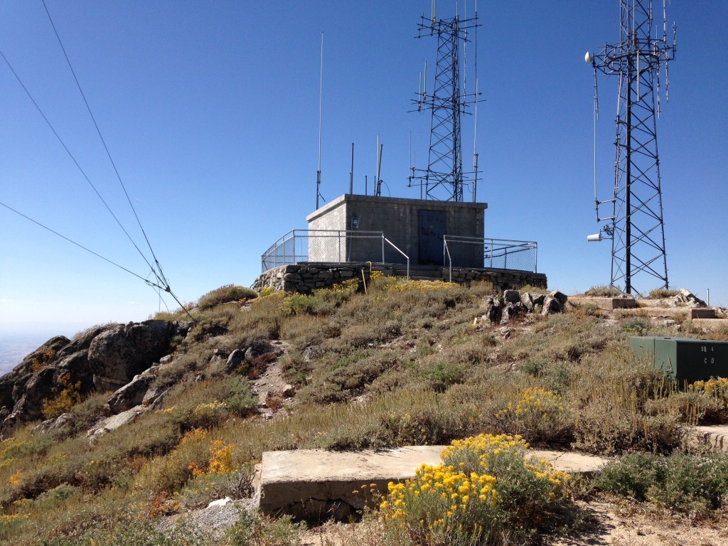
Until 2018, this was the high point. An observation deck surrounded the building.
Additional Resources
Regions: Boise Mountains->WESTERN IDAHO
Mountain Range: Boise Mountains
Year Climbed: 2014
Longitude: -116.0888 Latitude: 43.7716
