Elevation: 10,865 ft
Prominence: 1,405
Climbing and access information for this peak is on Page 304 of the book. This page has (1) updated route information for the south ridge and (2) Livingston Douglas’ southwest ridge route. In addition to these updates, use the following links for additional information on (1) the Miskin-Steadman north face route page and (2) The Spring Mountain Canyon page for updated access information.
This Sheep Mountain is located on the main Lemhi Range Crest between Gilmore Peak and Big Windy Peak. Based on the fact that there are 12 peaks named Sheep Mountain in Idaho, I guess it’s a fair assessment that sheep are popular in Idaho. I should note that there are also Sheepeater peaks and Sheephorn Peaks as well as other derivatives incorporating the word “sheep” in the peak name. This Lemhi Range Sheep Mountain is the second-highest Sheep Mountain in the State of Idaho, trailing only a Sheep Mountain in the Boulder Mountains. USGS Gilmore
South Ridge Access
With a 4WD and good driving skills, a person can make it to 9,800 feet on the peak’s south ridge. See The Spring Mountain Canyon page for updated driving information. This page covers the south ridge route. To climb the peak via its north face, see the Miskin Steadman north face route page.
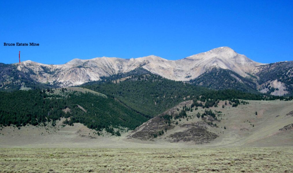
Sheep Mountain as viewed from the east, showing the ridge from the mine to the summit. Ray Brooks Photo
South Ridge, Class 2
This route leaves the mining road described on the Spring Mountain Canyon page. Simply follow the crest north to the summit with minimal up-and-down travel.
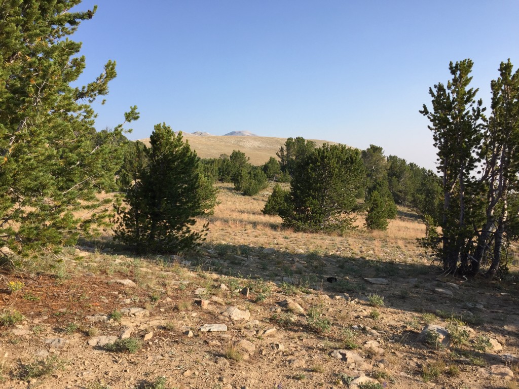
Looking north from the highest point along the mining road.
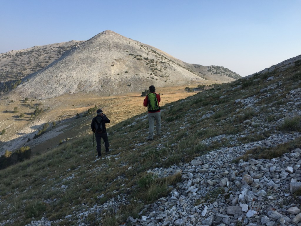
The view toward the peak after passing the first high point.
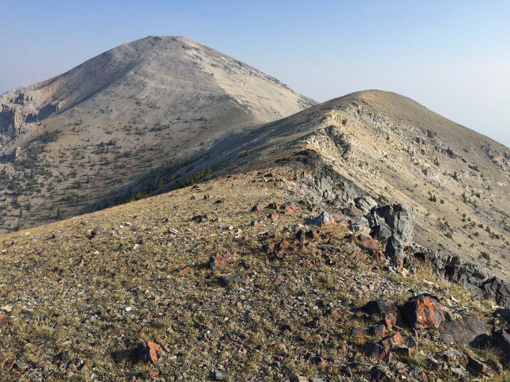
Sheep Mountain’s summit is about 1.5 miles from the road.
Southwest Ridge and South Ridge/Southwest Spur Routes by Livingston Douglas
Access
Sawmill Canyon Road/FSR-101 is located 36.6 miles north of Howe on the Little Lost River Highway. Turn right/east onto [signed] Sawmill Canyon Road at a fork in the highway. At 6.7 miles, reach the Challis National Forest boundary. At 8.0 miles, reach a junction with [signed] Squaw Creek Road/FSR-102. At 8.1 miles (just after crossing Squaw Creek), reach an unsigned junction with a 2-track jeep road. Turn right/northeast here and park at a dispersed campsite near the junction with Sawmill Canyon Road. The elevation here is 6,790 feet.
Southwest Ridge, Class 2
This climb is the final leg of a ridge traverse from Peak 9188 to Sheep Mountain. Topographically-speaking, the southwest ridge of Sheep Mountain extends from the summit down to a connecting saddle, up over Peak 9188, and down to Sawmill Canyon Road. The lower part of the ridge is discussed in detail in the southwest ridge and northeast ridge routes for Peak 9188. The upper part of the southwest ridge begins at the 8,820-foot connecting saddle between Peak 9188 and Sheep Mountain. That ridge section is the focus of this climb.
From the 8,820-foot connecting saddle with Peak 9188, scramble northeast to quickly reach another minor saddle. From here, bushwhack east across the head of a gully to reach the crest of the upper southwest ridge. Climb northeast up the ridge through pine forest then scattered pines, aiming for a rocky prow on the ridge crest higher up. The scattered trees end at this rocky prow. The ridge bends left-ish here and follows some minor rocky outcrops that provide good footing.
Above the rocky outcrops, scramble up surprisingly firm scree/gravel to reach the summit ridge at yet another rocky outcrop. From this high rocky outcrop, turn right/east-southeast and scramble a short distance to the wind-swept summit of Sheep Mountain. The ridge rock on this final scramble is chunkier but it still goes at Class 2. The summit has a large rock shelter, a summit cairn, and some triangulation wiring.
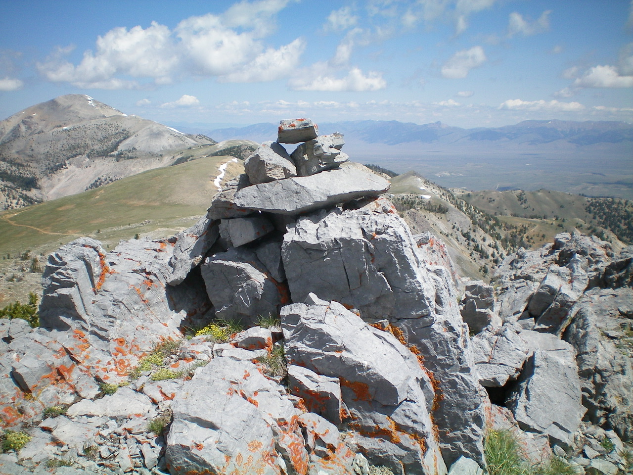
The summit cairn atop the north end of the summit plateau of Big Windy Peak, looking north. Sheep Mountain is left of center in the distance. Livingston Douglas Photo
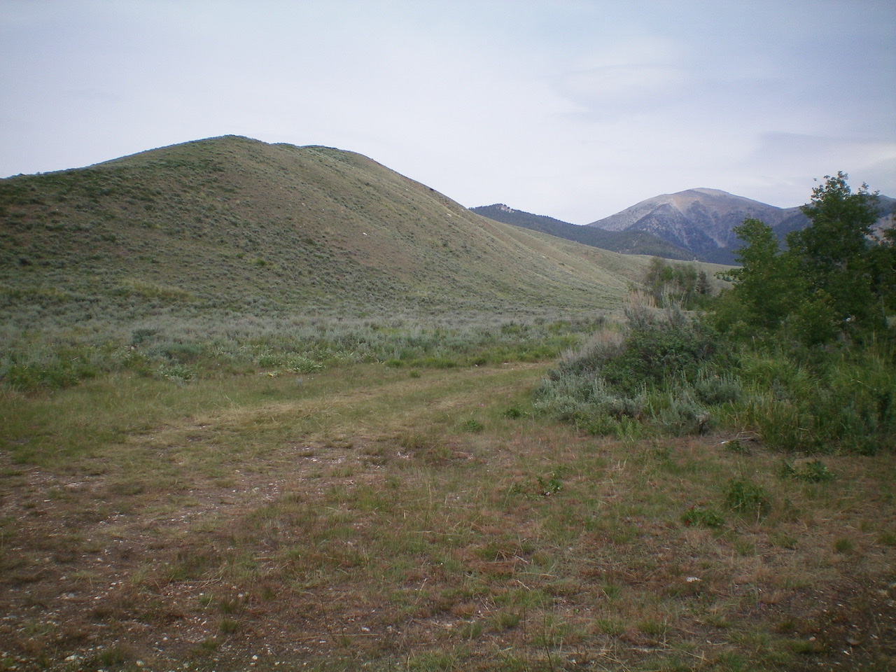
The long southeast ridge of Sheep Mountain as viewed from Sawmill Canyon Road. The summit is bald and is right of center in the distance, with the forested southwest ridge leading up to it. Livingston Douglas Photo
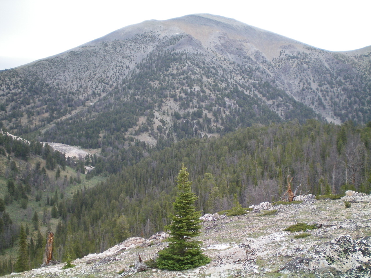
The upper southeast ridge (dead-center and forested) of Sheep Mountain as viewed from the northeast ridge of Peak 9188. Higher up, it jogs left then jogs right to reach the summit area. Livingston Douglas Photo
South Ridge/Southwest Spur, Class 2
Access
Same as for the southwest ridge. This is the final leg of a loop route that begins and ends along Sawmill Canyon Road.
The Descent
From the summit, descend southeast to a minor saddle on easy talus/scree with some minor rocky outcrops to skirt or down-climb on the ridge crest. There is also clumpy scrub on this ridge section to scramble through. From the saddle, continue southeast (briefly) then south up over two gentle ridge points to reach the top of the southwest spur. This is a magnificent ridge with only a few bumps along it. The ridge terrain is easy scree/scrub/grass high up. The forest soon takes over. It has some blowdown to navigate around, but a decent elk trail will help you in this area. Stay just to the left/southeast of the ridge crest for the easiest going.
When you reach the 7,780-foot saddle just northeast of forested Point 7981 (which is quite visible as you descend toward it), leave the ridge and follow an old 2-track jeep road left/southeast through the forest to reach a dispersed campsite alongside FSR-102/Squaw Creek Road. Follow FSR-102 down to its junction with FSR-101/Sawmill Canyon Road. Hike northwest up FSR-101 for 0.1 mile to the unsigned 2-track road on the northwest side of Squaw Creek and the dispersed campsite where you are parked.
Additional Resources
Regions: EASTERN IDAHO->Lemhi Range
Mountain Range: Lemhi Range
Year Climbed: 2015
Longitude: -113.28729 Latitude: 44.39049