Access to this area is discussed on Pages 313-314 of the book. In October 2023, Charles Stewart reported the following “The Forest Service has closed Spring Mountain Road. It looks permanent. New gate at the junction with quartzite canyon road. Quartzite Canyon road is still open and the comments in the original description are still valid.” I recommend contacting the Forest Service before heading out to this area.
Access to Big Windy Peak, Sheep Mountain and Trail Peak can be accomplished via the Spring Mountain Canyon Road System. These roads were built by miners. To reach the road from ID-28, turn west off the highway 5.0 south of Gilmore summit. The road is signed for the Hahn Town Site. This road system reaches the Lemhi Crest and connects with a West Side road that comes up Squaw Creek [see (C)(6.2) on Page 318]. Be forewarned that there are no guardrails and lots of exposure to steep slopes on this drive. There is no cell phone coverage and a tow will cost you a fortune. Careless driving could be lethal.
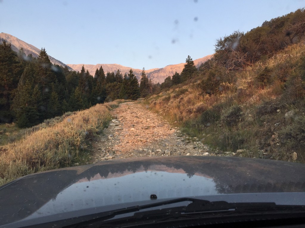
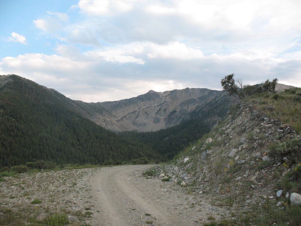
Looking out on a road that doubles as a rock garden.
The roads have Forest Service numbers but keep in mind that they are old mining roads and there is no regular maintenance. In fact, I cannot find anything on the National Forest site mentioning this road system. These roads are rough, 4WD roads that will test your driving skills and eat up your tires and your undercarriage if you do not have skid plates. Having said this, I met a guy who drove his Honda CRV with street tires from the Little Lost River Valley to Hahn. He did say, “If I had the sense God gave a golf ball,” he would not have done it. Having driven the road in a Toyota Sequoia, I am not sure how he did it.
Above Hahn, the road becomes extremely rocky in spots. The second right leads up Quartzite Canyon Road/FS-918 and eventually over the crest where it meets up with the Spring Mountain Canyon Road. In 2015, the Quartzite Canyon Road was the roughest of the two roads and, in one spot, my skid plates came into use. It took me about 1.2 hours to climb to the crest in 4WD low range. An AWD is not a 4WD. You need a true 4WD, all-terrain tires with multi-ply side walls and skid plates. The main Spring Mountain Canyon Road has a few hundred yards of good road but is mostly rocky. I descended the road in 4WD low range the entire way to save my brakes and tires.
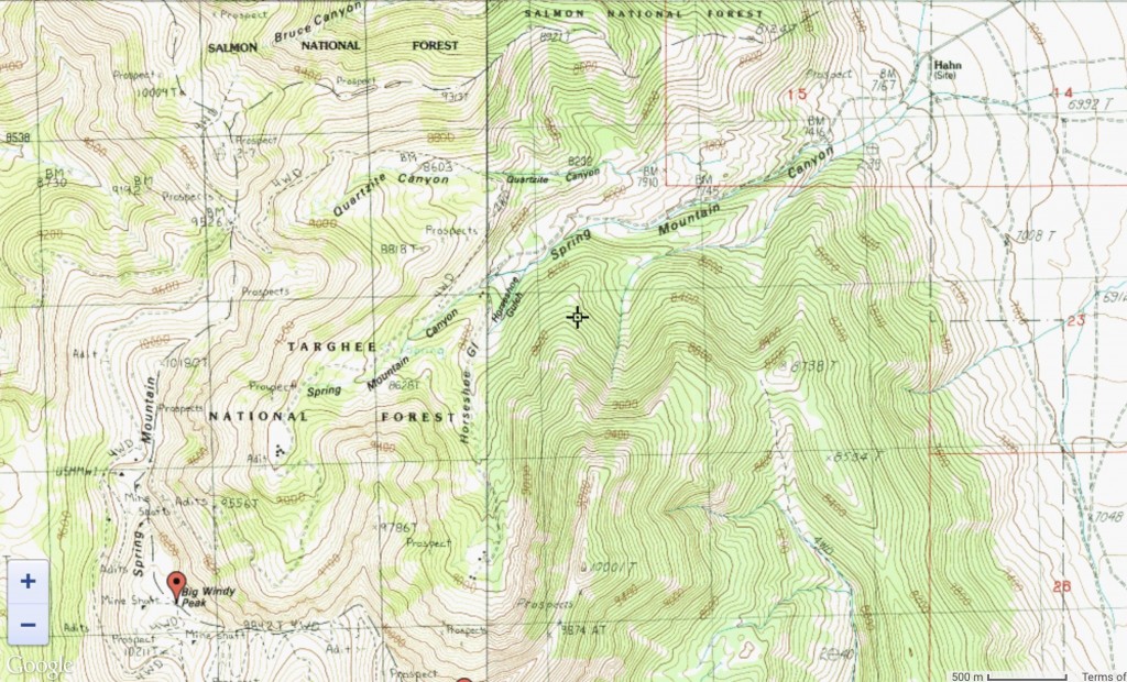
Spring Mountain Canyon Roads are shown on this map. Just because a road is shown on a map does not mean that it is passable.
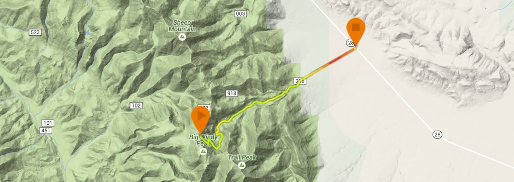
I recommend taking the Spring Mountain Canyon Road over the Quartzite Canyon Road based on my experience. Larry Prescott prepared this GPS track of the route which will take you to the summit in 6.75 miles with 3,100 feet of elevation gain.
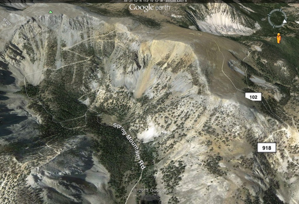
This Google Earth image shows the upper portion of the Spring Mountain Canyon Road. The Quartzite Canyon Road is off the image to the left.
There are only a few smooth sections but the views are always great along the road. Ray Brooks Photo
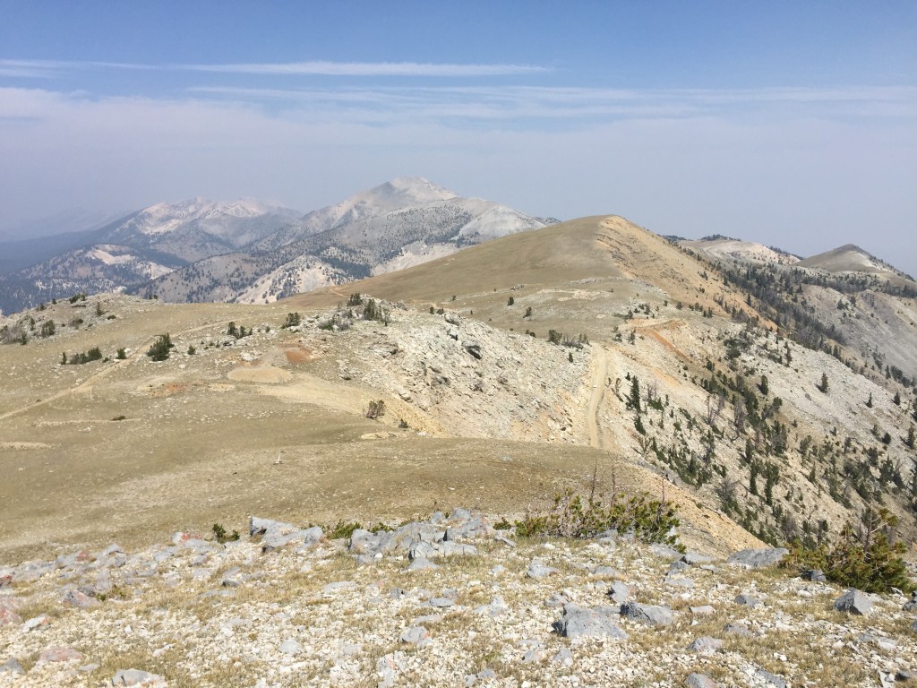
The highest point on the Spring Mountain Canyon Road is just north of the summit of Big Windy Peak. This photo shows the road reaching the crest on the right side and proceeding north around the high point to eventually meet the Quartzite Canyon Road.
Winter Access
John Platt and Dan Robbins climbed Big Windy Peak during the Winter using this road system. They avoided the upper Spring Mountain Canyon Road’s upper stretches where it crosses steep slopes due to avalanche danger. See their trip reports which are linked on the Big Windy Peak page. I suspect that these roads see a lot of snowmobile use during Winter.
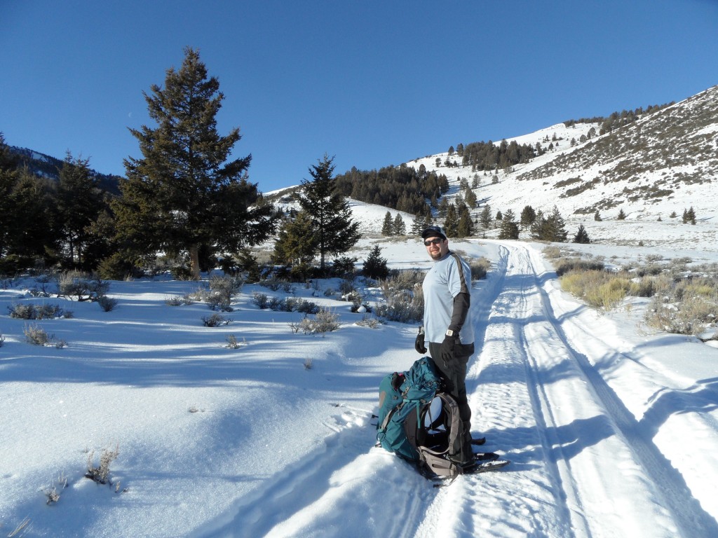
Dan Robbins on the Spring Mountain Canyon Road during a Winter ascent of Big Windy Peak. John Platt Photo