Elevation: 6,730 ft
Prominence: 300
This peak is not in the book. The access section is updated by Livingston Douglas. Updated December 2019
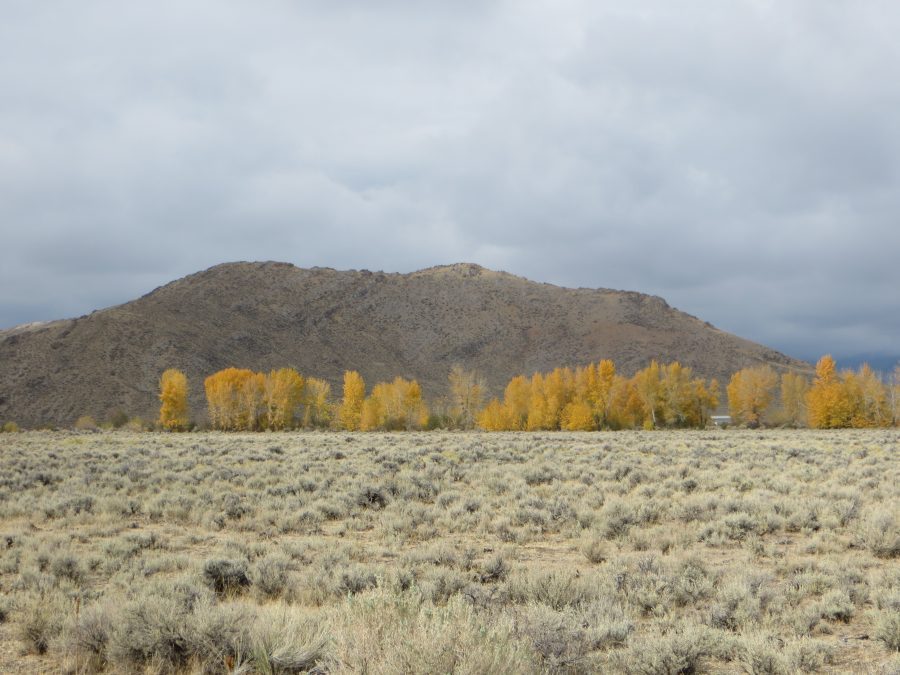
South Chilly Butte lies southwest of the unincorporated community of Chilly, Idaho, which is located north of Trail Creek Road and northwest of Mackay, Idaho. South Chilly’s sister butte, North Chilly Butte, lies to the northeast. South Chilly Butte is on State of Idaho-managed public land. The parcel is fenced for grazing. The vehicle entry to the parcel is found on South Chilly Butte’s north side. This peak is probably the easiest to climb of the “butte peaks” in the Big Lost River Valley. USGS Chilly Buttes
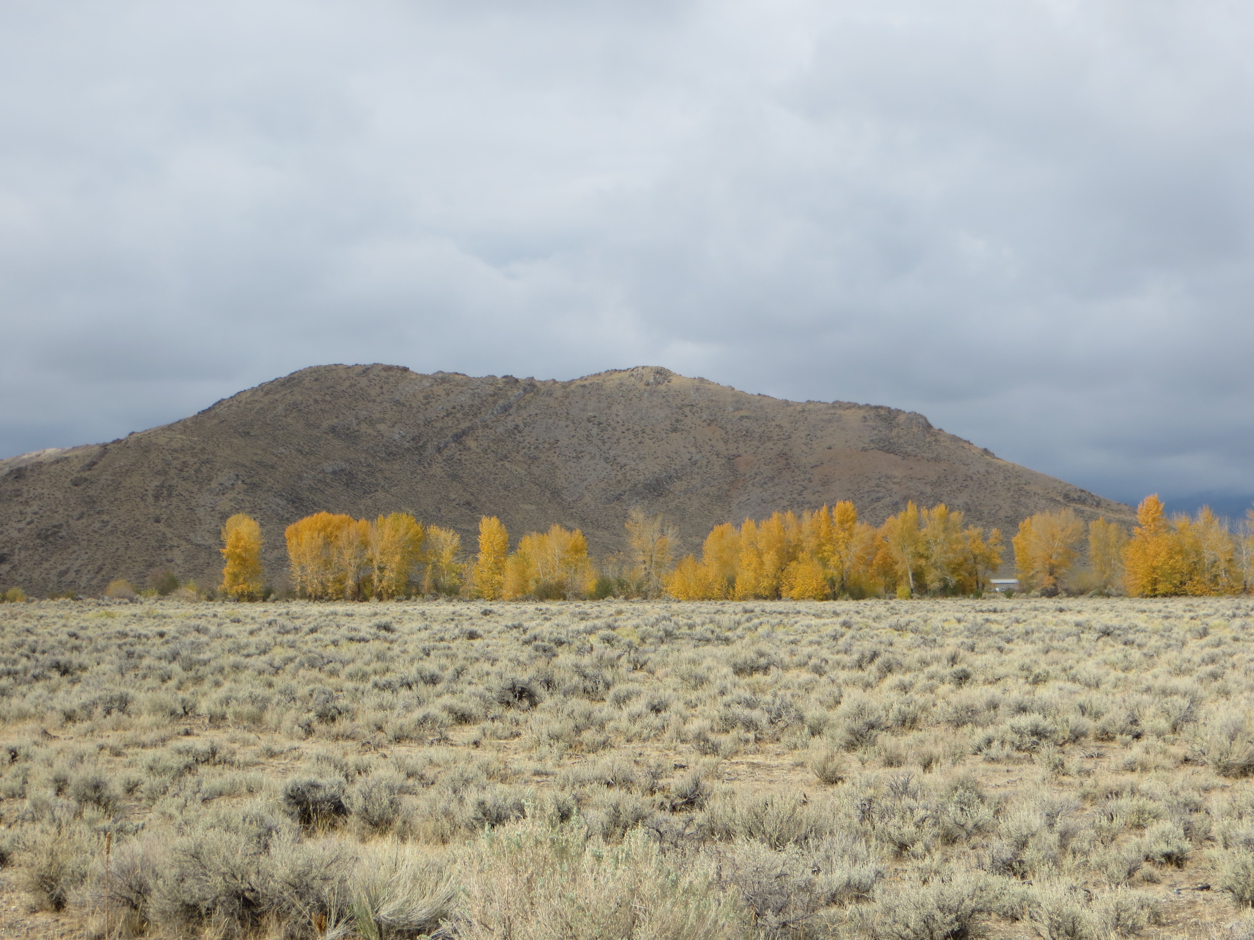
South Chilly Butte as viewed from Trail Creek Road. Steve Mandella Photo
Access by Livingston Douglas
From US-93 north of Mackay, turn left/west onto [signed] Trail Creek Road. Drive 3.5 miles on Trail Creek Road to an unsigned junction [5975W, which you will discover later]. Turn right/north onto [unsigned] 5975W and drive 0.6 miles to a signed junction with 6000W/Anderson Road. Here is where you discover that you’ve been driving on 5975W! Turn left/west and drive 0.4 miles to a pass/saddle between North Chilly Butte and South Chilly Butte. Park off the road here (6,450 feet). This is the launching point for climbs of both buttes.
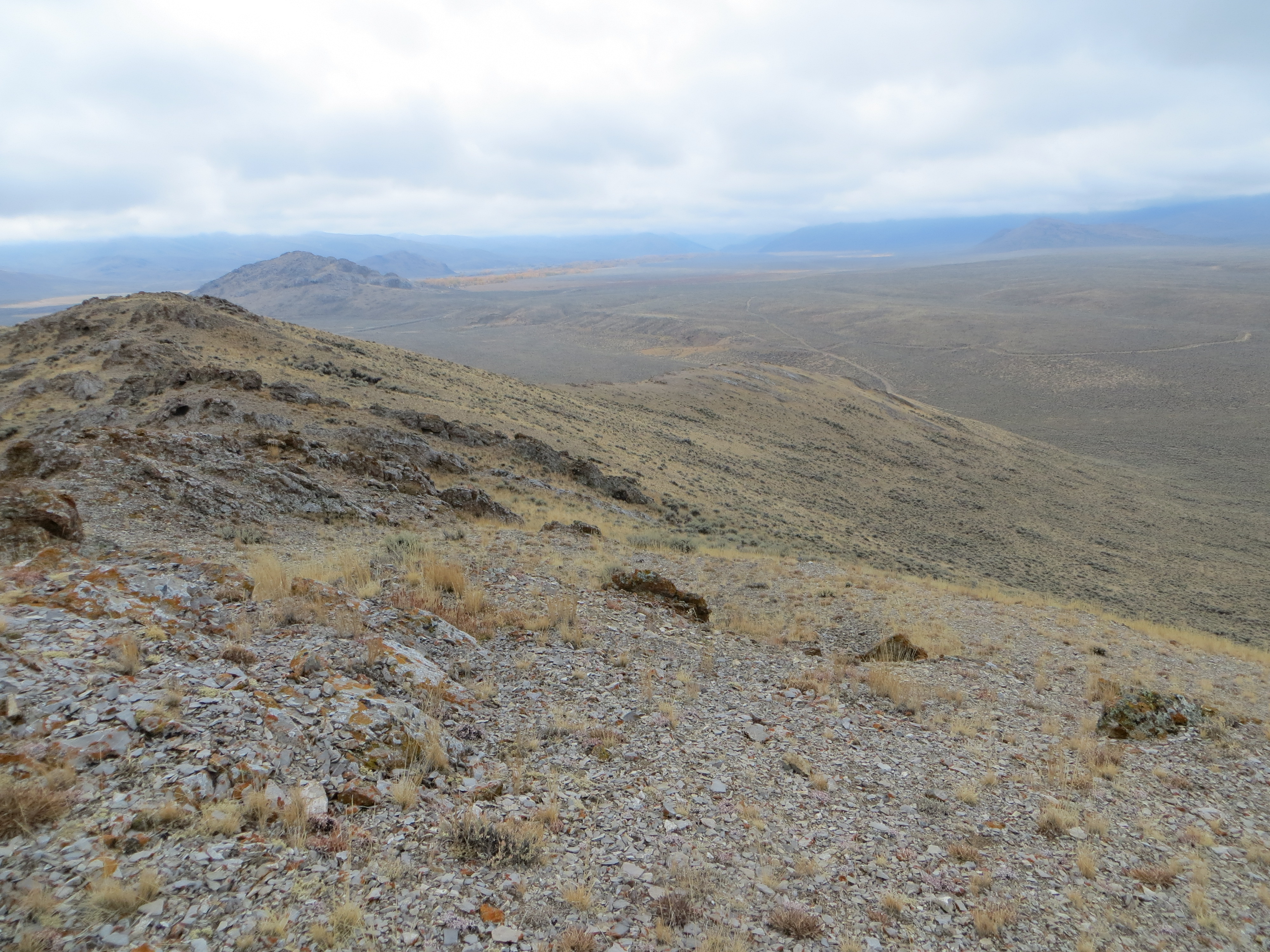
North Approach, Class 2
Climb straightforward terrain, staying west of the small rock outcrops, from Anderson Road directly to the summit area. The actual summit is obvious. There is no marker, register, or summit cairn. This is the steepest approach on the butte, but it is short, footing and route visibility are good, and the climb is obtainable by most fitness levels. Trip stats: 0.6 miles with 283 feet of elevation gain round trip.

The north ridge approach to South Chilly Butte. Steve Mandella Photo
West and South Approaches, Class 2
The GPS track below shows the mellower, but longer (approximately 1 mile), west and south side climbing options.
Looking down the southwest ridge approach from the summit. Steve Mandella Photo
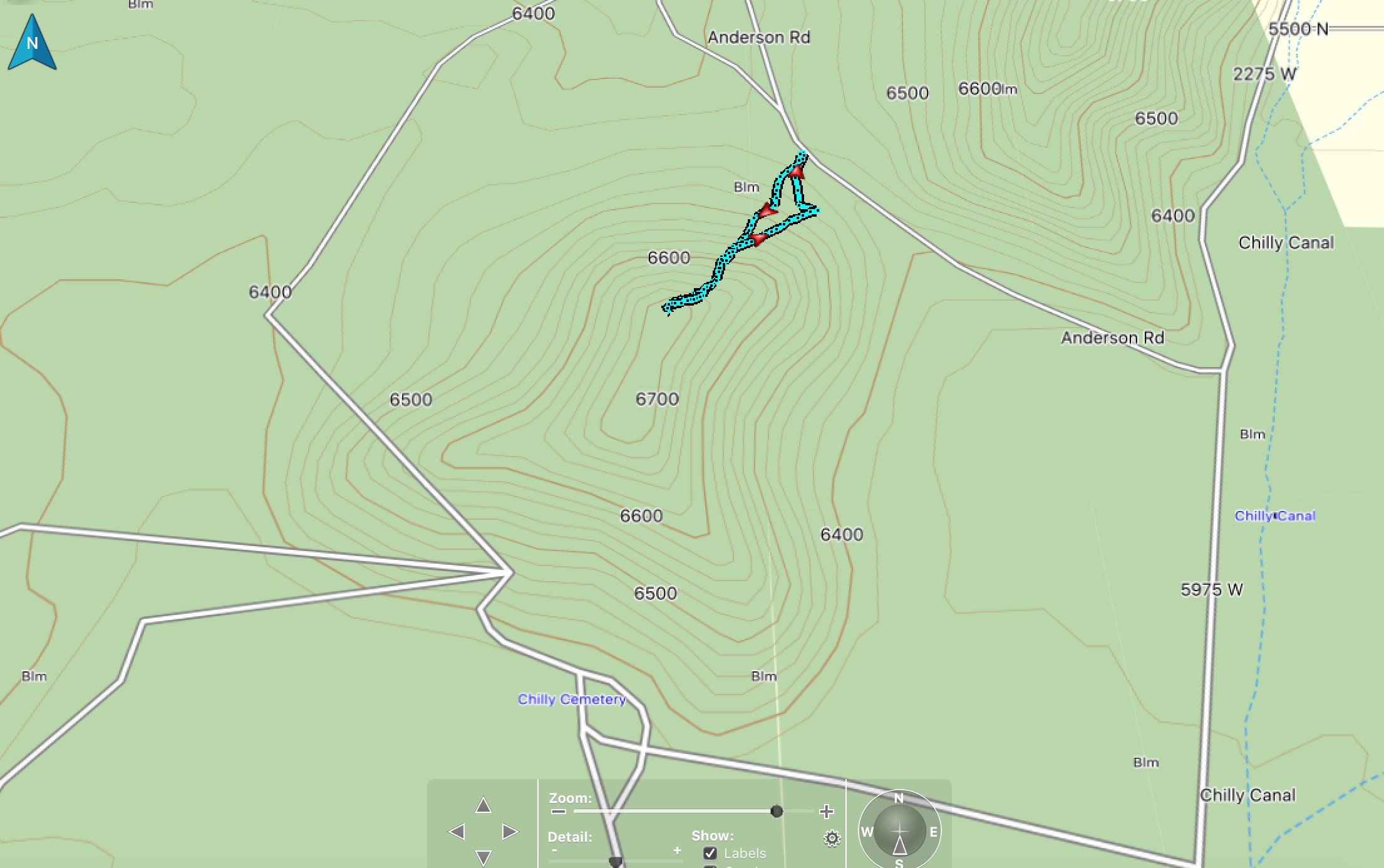
Climbing track. Steve Mandella Map
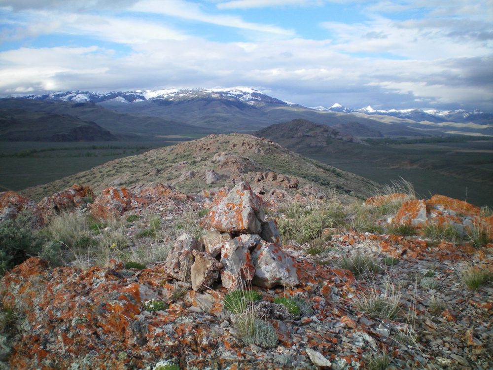
The summit cairn atop South Chilly Butte, looking southward. Livingston Douglas Photo
Additional Resources
Regions: Boulder Mountains->EASTERN IDAHO
Mountain Range: Boulder Mountains
Year Climbed: 2019
Longitude: -113.91069 Latitude: 44.06919