Elevation: 8,013 ft
Prominence: 113

This peak is not in the book. Published November 2023
Trapper Ridge is a ridgeline that is located just west of Jureano Mountain. It sits at the head of Trapper Gulch and Little Jureano Creek deep in the Eastern Salmon River Mountains. Trapper Ridge is most easily reached via FSR-061 which follows the high ridge crest in this area. USGS Gant Mountain
Access
Same as for Jureano Mountain. This is the second leg of a 2-peak adventure that includes Jureano Mountain (8,333 feet) and Trapper Ridge. It is a road hike that covers 8.0 miles with 1,625 feet of elevation gain round trip. It begins at the junction of FSR-300 and FSR-061 on the high ridge crest.
Map Errors
The USGS topo map incorrectly shows FSR-300 as a jeep road when, in fact, it is a pretty smooth, maintained dirt road (as the Salmon National Forest Map shows). The USGS topo map shows a spurious jeep trail that intersects FSR-061 just south of FSR-300. That jeep trail does not exist. The USGS topo map shows a road junction (and side road) high on the east ridge of Jureano Mountain. That road (and junction) no longer exists. The USGS topo map also shows a side road heading north from the summit of Jureano Mountain. That road no longer exists. The USGS topo map shows a trail that crosses the ridge road just east of Trapper Ridge. That trail no longer exists.
East Ridge, Class 1
The Climb
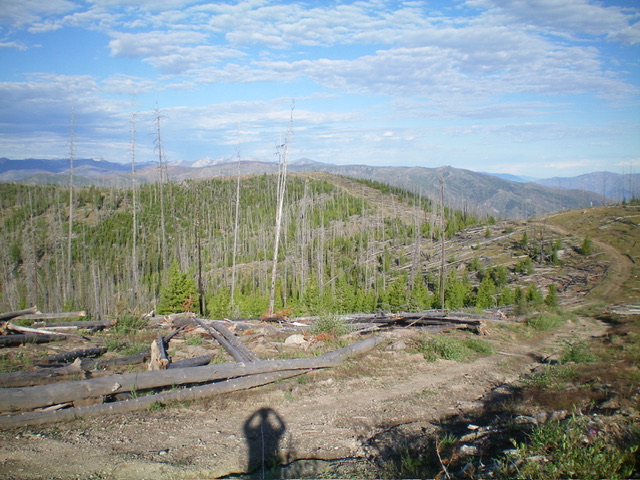
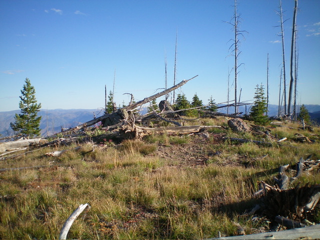
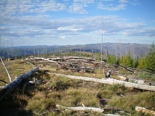
From the 7,900-foot connecting saddle with Jureano Mountain, continue west up FSR-061 to where the road crests to cross Trapper Ridge. The high point of Trapper Ridge is a short scramble in open scrub/grass and deadfall. The high point is obvious.
Additional Resources
Mountain Range: Eastern Salmon River Mountains
Longitude: -114.2664 Latitude: 45.2044


