Elevation: 8,468 ft
Prominence: 1,488
This peak is not in the book. Livingston Douglas ascended this peak by traversing over from Peak 8301. His routes are set out below. I climbed the peak from the pass at the top of Martin Canyon which was Livingston’s descent route. I added my GPS track and a photo below. Updated September 2020
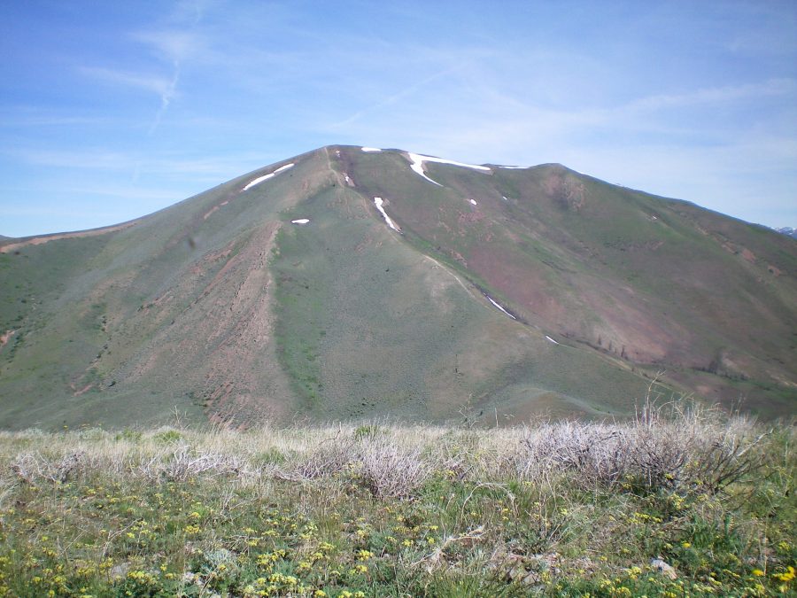
Vue Benchmark is the highest peak located on a massive ridge that separates Martin Canyon from Slaughterhouse Creek. This is a big mountain with another ranked summit on its LONG southwest ridge (Peak 8301). The easiest ascent route is from Martin Canyon Road and the southeast ridge. Most of the southeast ridge has a “dozer line” gouged out of it. It isn’t pretty, but it sure gets rid of the scrub and brush, at least for a few years. It is rocky and loose, particularly on the steeper sections of the ridge. USGS Baugh Creek SW
Vue Benchmark (summit is just left of center) as viewed from the south. The southeast ridge goes from the lower right of the photo up to the summit, with the “dozer line” visible. Livingston Douglas Photo
Southwest Ridge, Class 2
Access
Access this peak from Martin Canyon. From the junction of ID-75 and Pine Street in Bellevue, drive east on Pine Street (which becomes Muldoon Canyon Road). At 2.5 miles, turn left/north onto [unsigned] Martin Canyon Road. Drive 2.3 miles up Martin Canyon Road. This road is closed seasonally. If it is closed, you can park in short scrub on the left side of the road. The elevation here is 5,835 feet. The road to the pass is surprisingly good but a 4WD is still recommended. It is 4.8 miles to the pass with 1,230 feet of elevation gain.
The Climb
From the 7,380-foot connecting saddle, scramble east then northeast up the rounded, ill-defined ridge through sagebrush to reach the summit area. High up, the scrub shortens and becomes much easier. The summit of Vue Benchmark has two USGS benchmarks in separate ground boulders. There are also some triangulation wires nearby.
Southeast Ridge, Class 2
Access
Same as for the northwest ridge. This route is the first leg of a ridge traverse from Vue Benchmark to Peak 8074.
The Descent
There is a “dozer line” that heads from the summit all the way down the southeast ridge to Point 6902. The “dozer line” is not a road. It’s churned-up ground so it’s quite loose and rocky. It requires care in descending it, particularly in the steeper ridge sections up high. From Point 6902, descend south through somewhat-thick sagebrush to reach the saddle at the head of Martin Canyon and the Martin Canyon Road which crosses the saddle.
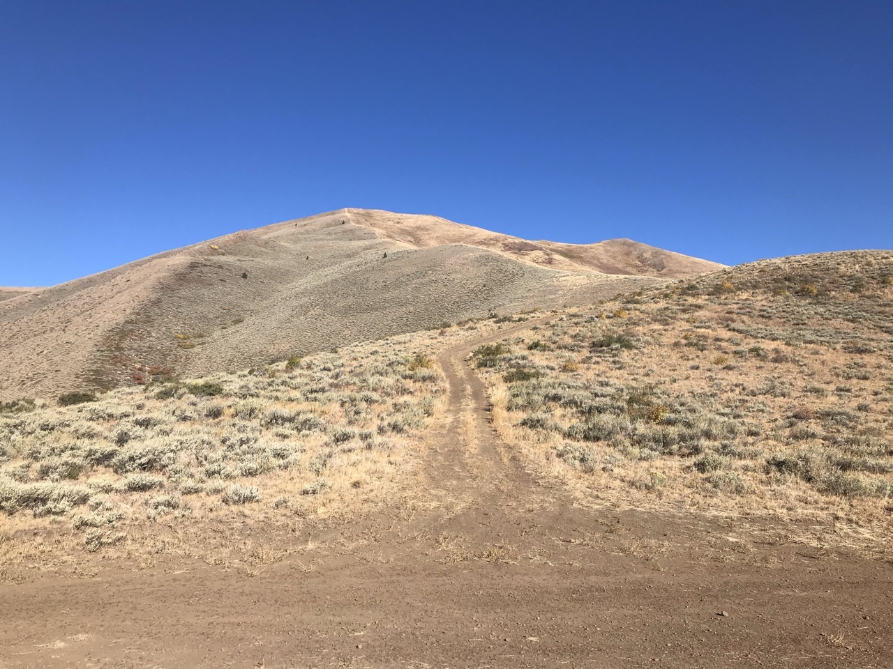
Vue Benchmark as viewed from the pass at the top of Martin Canyon.
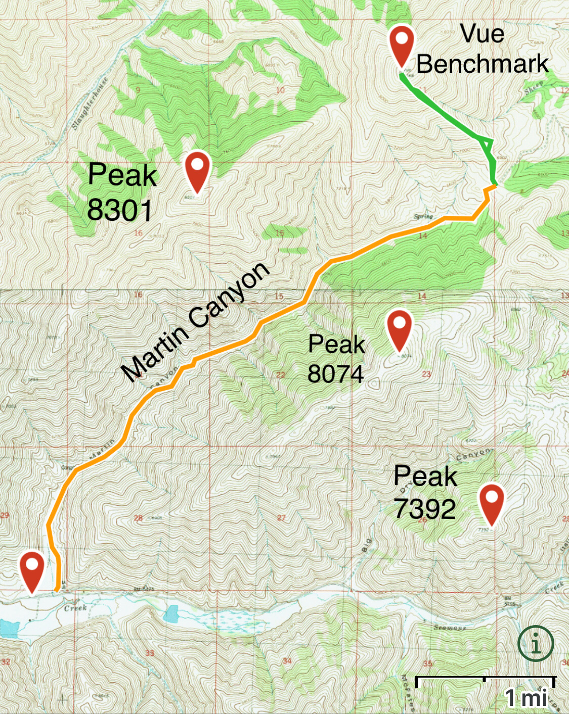
My GPS track for the steep southeast ridge. Round trip covered 2.3 miles with 1,557 feet of elevation gain.
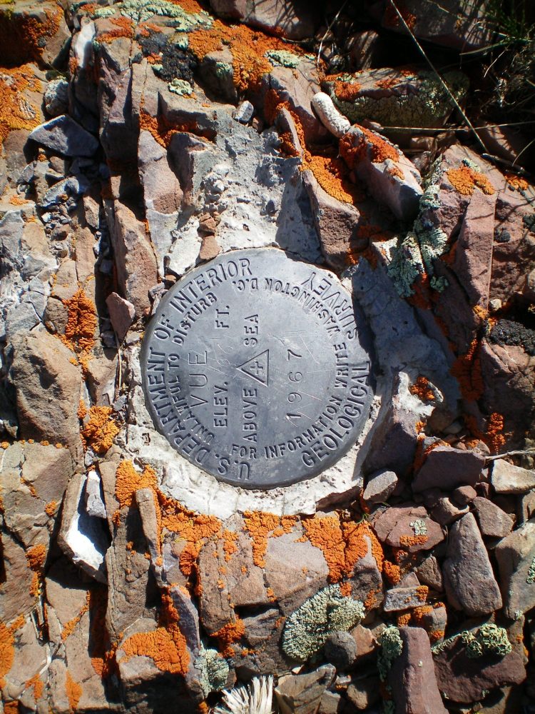
The USGS benchmark on the summit. Livingston Douglas Photo
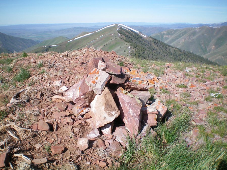
The newly-built summit cairn atop Vue Benchmark. Livingston Douglas Photo
Additional Resources
Regions: EASTERN IDAHO->Pioneer Mountains
Mountain Range: Pioneer Mountains
Year Climbed: 2020
Longitude: -114.16179 Latitude: 43.52209