Elevation: 4,633 ft
Prominence: 288
This peak is not in the book. The elevation figure has updated based on recent LiDAR measurements. Livingston Douglas added a new route and new photos. Updated October 2025
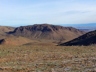
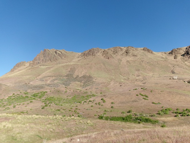
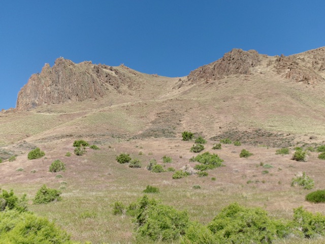
Wilson Bluff is the first peak you encounter as you proceed southwest on Wilson Creek Road. Its eastern and southern walls are composed of dark volcanic rock that forms impressive walls and towers. Its northern and western slopes are less steep and are open and grass-covered. There are many potential lines to the top, but the Northwest Ridge route is the most straightforward. Even though Wilson Bluff is not a ranked peak, it is an enjoyable climb. I highly recommend it. USGS Soldier Cap
The totality of Wilson Bluff as viewed from the southeast. Livingston Douglas Photo
Access
Access is via the Wilson Creek Road. This road is a major access point into the Owyhee Mountains. Follow the road south past the peak’s East Face where the road takes a sharp turn west and starts to climb. Immediately after this turn, there is a steep turnoff and parking spot. Park here.
Northeast Ridge, Class 2
From your parking spot, look for a gate blocking an old road. The gate has a sign limiting travel behind it to hikers, mountain bikers, and equestrians. The BLM re-vegetated/seeded the area behind the sign after a fire, but the road is easy to discern and follow. The road eventually turns into a trail. Follow this route west and then north to a saddle on the peak’s Northwest Ridge. Follow the Northwest Ridge to the summit. Here you will find a rocky summit area and a summit register. This route is climbable in dry conditions year-round but is not recommended when wet. This is one of the nicest hikes you will find in the Owyhee Mountains.
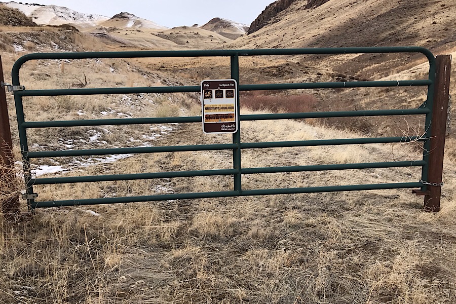
This gate marks the beginning of the route
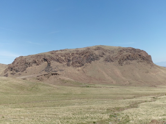
The impressive south face of Wilson Bluff
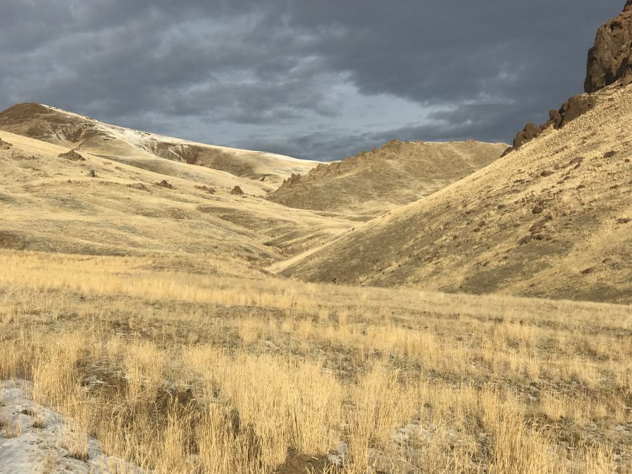
Looking north toward the saddle on the northwest ridge of Wilson Bluff.
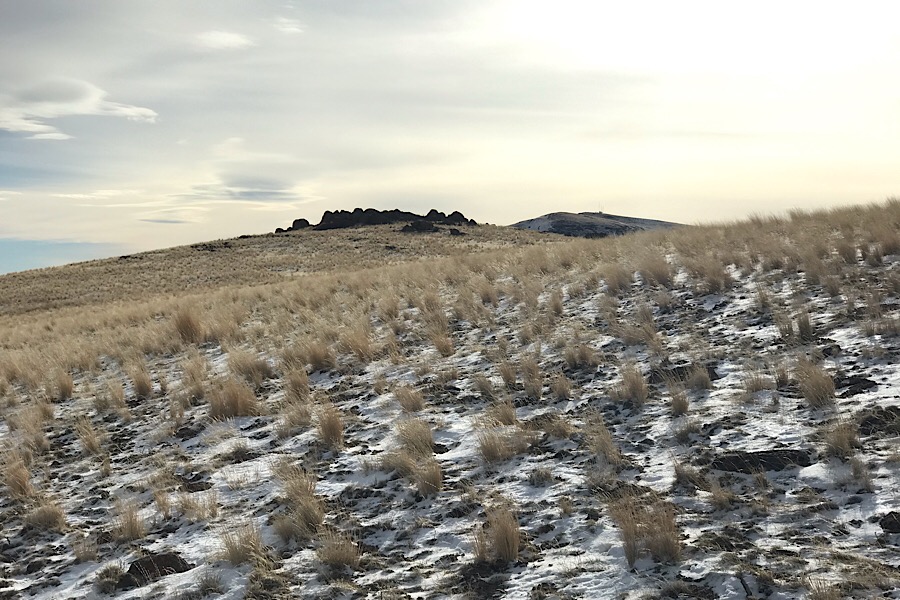
The northwest ridge is broad and easy cross-country terrain
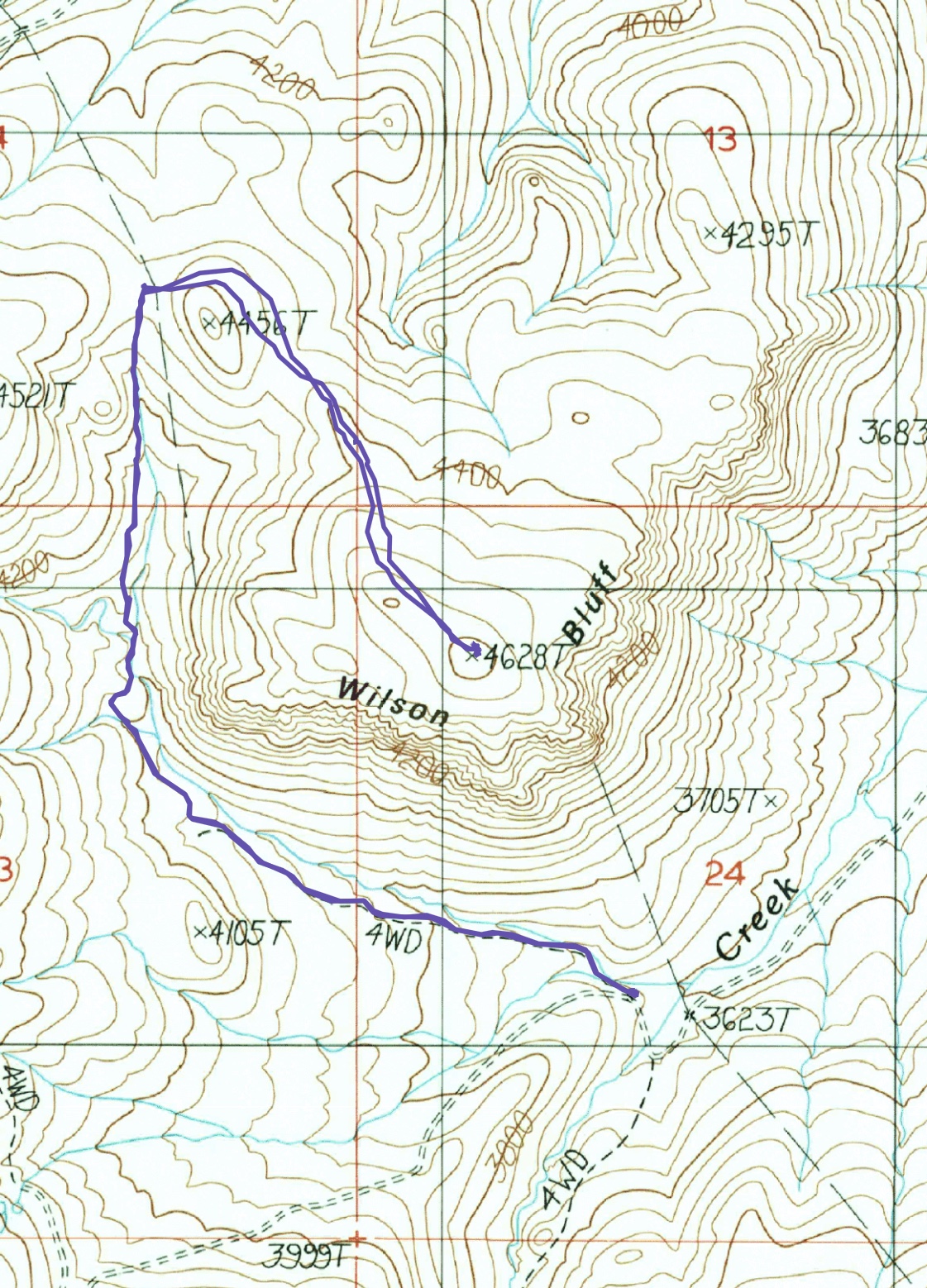
My GPS track for Wilson Bluff. My route covers 4.6 miles round trip with 1,000 feet of elevation gain.
East Shoulder/East Gully by Livingston Douglas
Access
See the Wilson Creek Access page. Drive 6.2 miles up Wilson Creek Road (signed as “Wilson Road” at ID-78) to an unsigned junction with a side road (shown as a “4WD” road on the USGS topo map) to two dispersed campsites. Park at or near the first campsite [3,561 feet; 43°19’27.6”N, 116°45’11.0”W].
East Shoulder/East Gully, Class 2
The Climb
From the dispersed campsite, bushwhack through field grass down to Wilson Creek (small) and cross it, avoiding the tumbleweed-clogged areas and steep areas of scrub. Once across the creek drainage, follow a grassy shoulder (with some scrub and gravel) west as it heads toward the east gully. Move left-ish higher up onto a narrower shoulder that gets rockier, but is still mostly field grass. Reach the east gully and scramble west up steep field grass with loose talus underneath. Stay on the right/north side of the gully initially then move to the easier left/south side higher up.
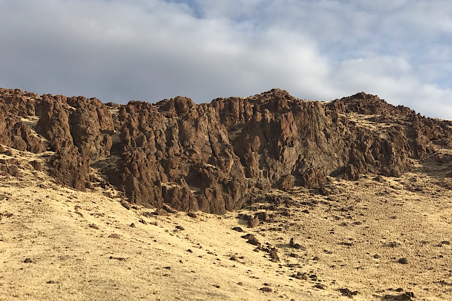
Move around boulders as necessary and scramble up open rock when possible. Emerge onto the tilted summit plateau then head directly west to the summit boulders in open field grass. Stand atop several of the boulders on the summit to be sure that you caught the high point. There is a very small USGS benchmark in one of the ground boulders. There is no doubt that these summit boulders are the high point of Wilson Bluff.
Wilson Bluff as viewed from the east (start of climb). Livingston Douglas Photo
The east shoulder (just left of center) and east gully (dead center, higher up). This was my ascent route. Livingston Douglas Photo
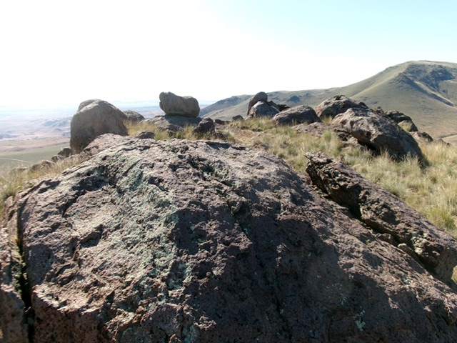
The summit boulders atop Wilson Bluff. Livingston Douglas Photo
Additional Resources
Regions: Owyhee Mountains->SOUTHERN IDAHO
Mountain Range: Owyhee Mountains
Year Climbed: 2019
Longitude: -116.76559 Latitude: 43.32619