ARTICLE INDEX
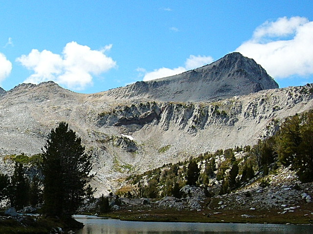
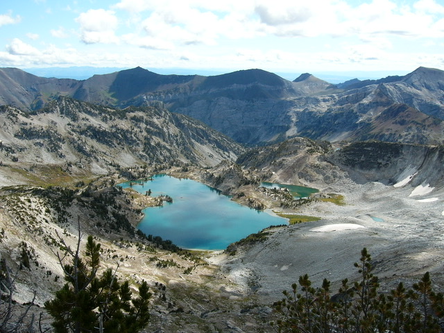
The Eagle Cap Wilderness is located in northeastern Oregon. The wilderness encompasses most of the Wallowa Mountains. The Wallowa Mountains are a rugged terrain with abrupt elevation changes, many alpine lakes, big granite peaks and long, winding ridges separated by glacially carved U-shaped valleys. While these mountains are covered by dense forest at lower elevations, the high country has only and scattered alpine vegetation separated by meadows, talus, snow fields and flowing water. Elevations are extreme ranging from 3,000 feet to 9,838 feet on Sacajawea Peak. Our goal was to reach the summit of Eagle Cap, a 9,572 foot summit.
While Eagle Cap is not the highest Wallowa summit it the most scenic. It is a big peak is visible from many spots. It is strikingly beautiful peak when viewed from Lake Basin on its northeastern side. The peak’s imposing bulk dominates the scenic basin.
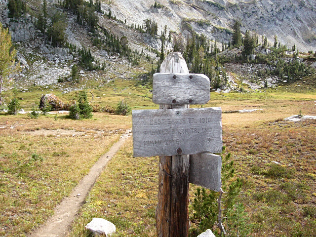
Laurie Durocher and I accessed the peak from the north via the EAST LOSTINE RIVER TRAIL. Although it is the shortest route to Eagle Cap, it is still a significant pull. To reach the summit you will hike just over 10 miles and gain over 4000 feet of elevation.
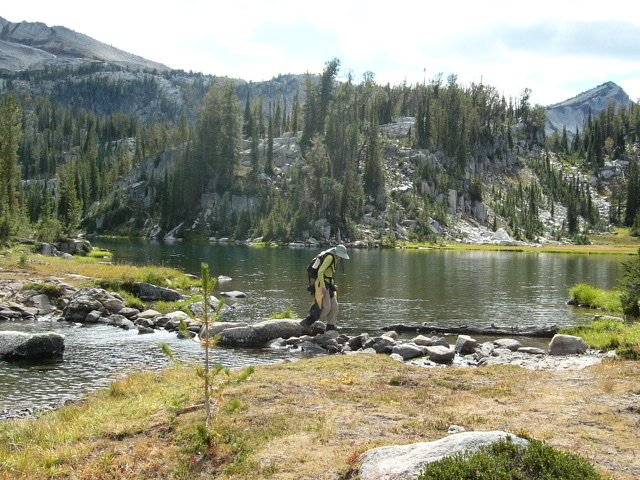
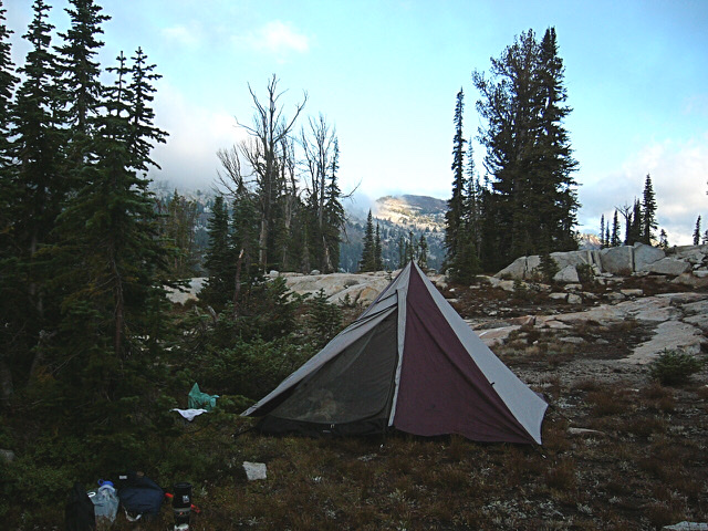
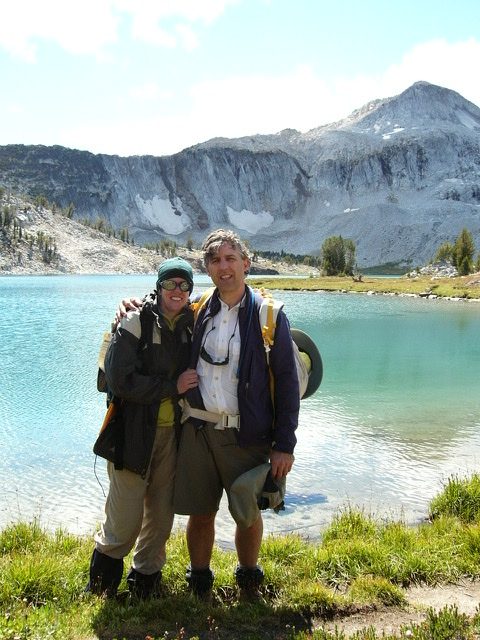
We started at the Two Pan Trailhead on a muggy morning and followed the trail for 7.3 miles to Mirror Lake, the first lake in Lake Basin. We were surprised by the number of people camped in around Mirror Lake. It took us a while to find a free campsite.
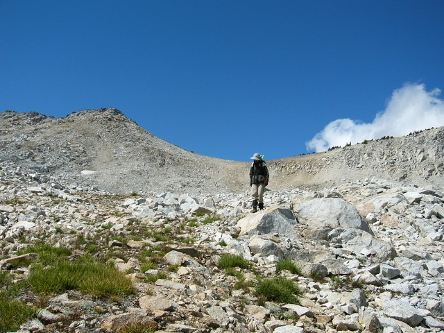
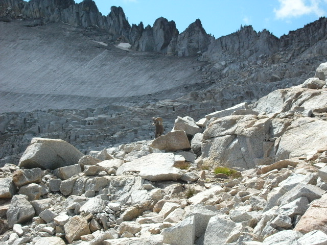
On the morning of August 24th, we hiked up the trail to Eagle Cap’s summit. The top was just under three miles from Mirror Lake. In the afternoon we took a hike to Glacier Lake and were treated a close encounter with a bighorn ram. Back at our Mirror Lake camp we spent a pleasant evening swatting mosquitos.
The next day, we made the long slog from Mirror Lake back to the Two Pan Trailhead. The seven miles seemed like fourteen on a very warm day.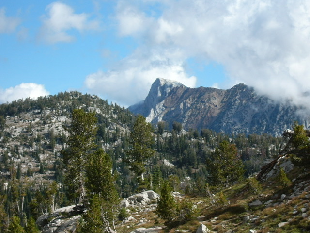
Next: High Sierra Camps Loop
