Elevation: 11,815 ft
Prominence: 4,035
Climbing and access information for this peak is on Pages 224-226 of the book.
Castle Peak doesn’t reach 12,000 feet but it is every bit as impressive and as difficult to climb as the 12ers. It is also, in my opinion, one of the Idaho’s Top Ten Peaks when it comes to beauty. I hope that the following photos support my opinion. I climbed the peak’s Big Gully Route, which is a classic, but it involves a longer access. There are five photos of the Big Gully Route farther down the page.
The more popular route climbs the peak’s Southwest Face. Use the links below to read trip reports from John Platt, Dave Pahlas, Dan Robbins and Tom Cox (all used Southwest Gully variations) with additional information that will help you summit this beauty. Read Tom Cox’s article on the Chamberlain Basin Cross-Country Route to learn about a shortcut to the South Side of the peak. Unfortunately, there has been one death on the peak involving a rare Summertime avalanche. Please take the time to read the report when doing your research to learn from this unfortunate accident. USGS Boulder Chain Lakes
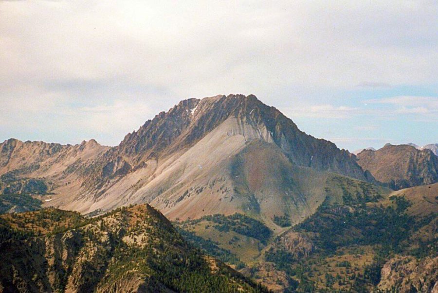
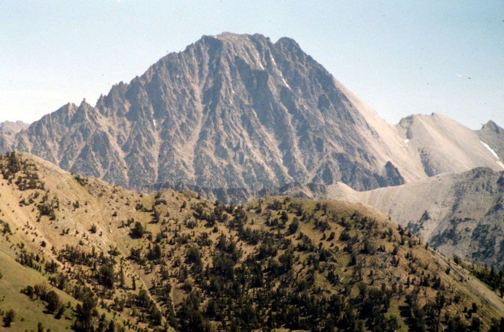
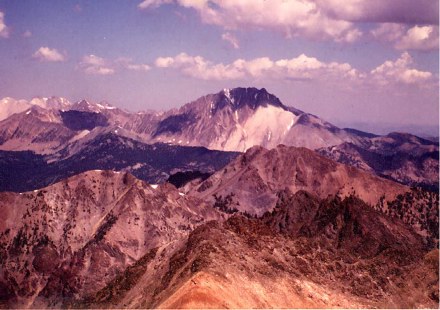
Castle Peak as viewed from Peak 10405.
From the summit of Mount Ernie Day, the view west to the White Clouds (8/15/10): Castle Peak (left) and Merriam Peak (right). Rick Baugher Photo
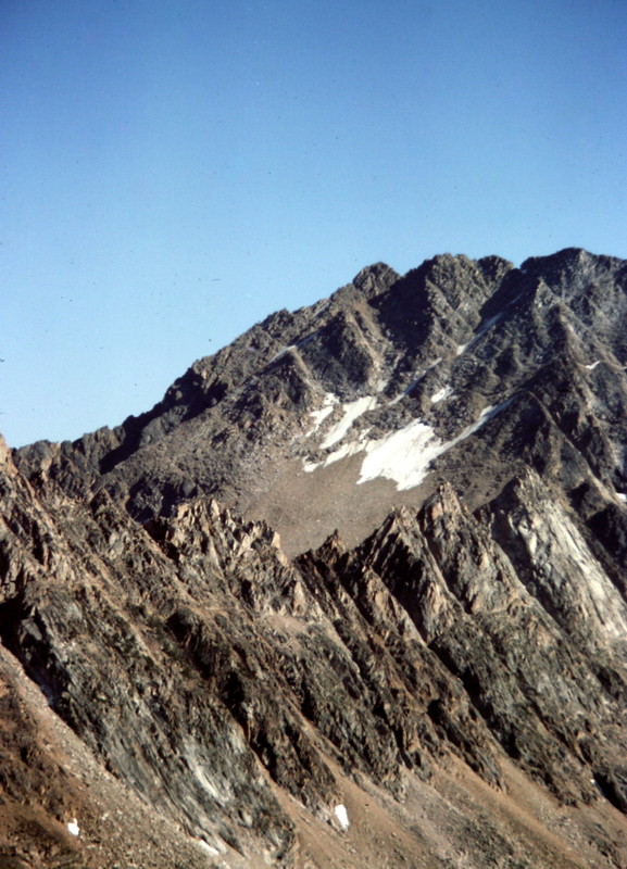
Castle Peak
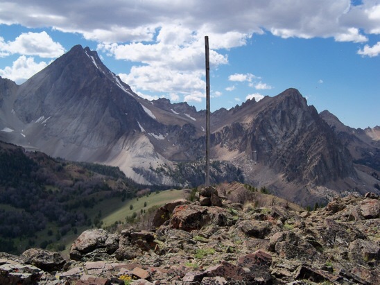
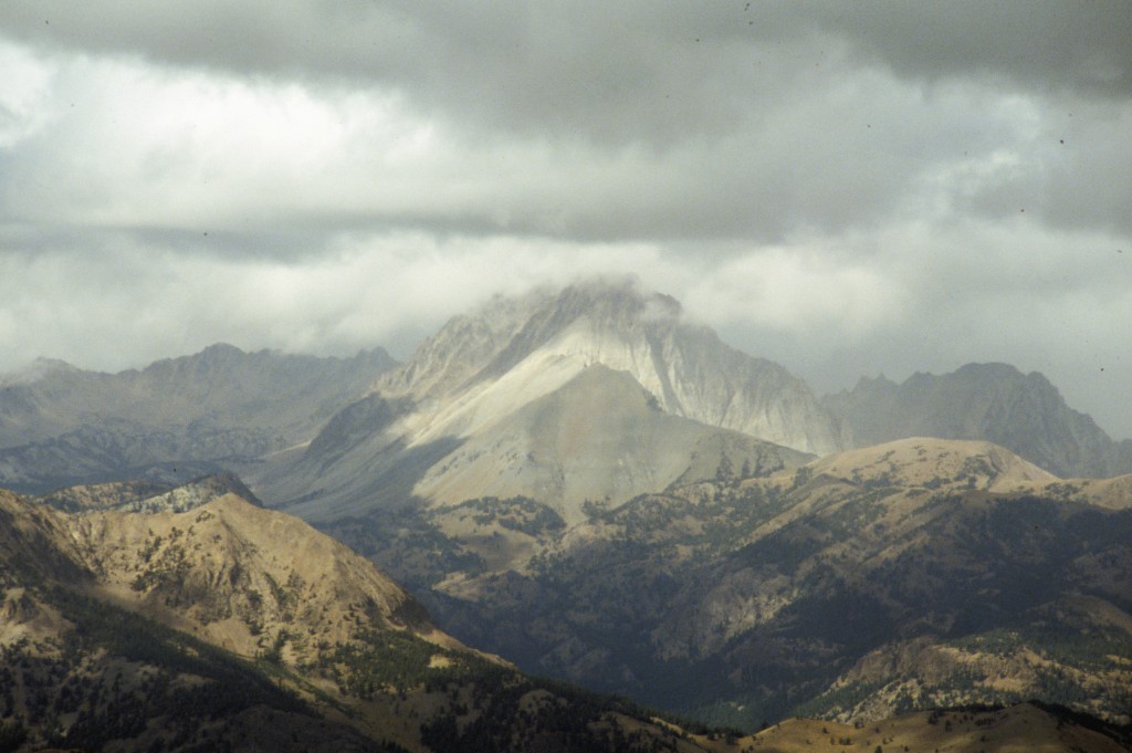
Castle Peak as viewed from Croesus Peak.
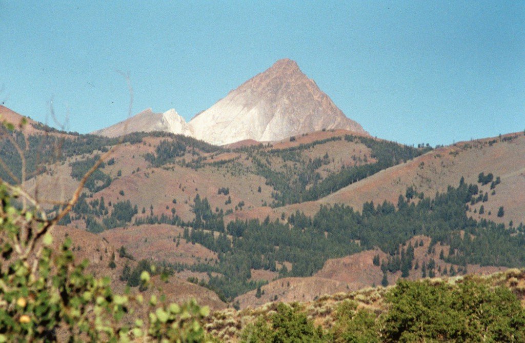
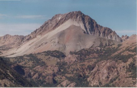
Castle Peak as viewed from Bowery Peak.
Castle Peak as viewed from Lone Pine Peak.
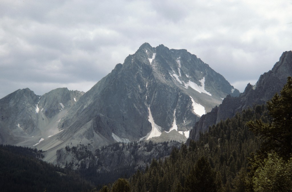
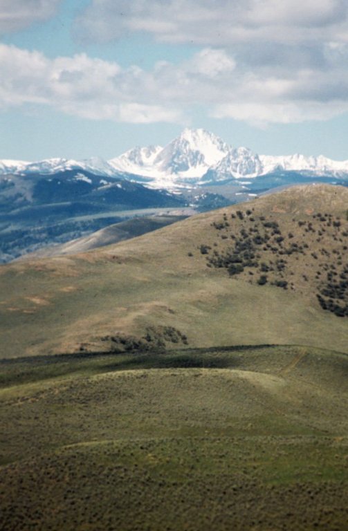
Castle Peak as viewed from Ryan Peak.
Castle Peak with the Serrate Ridge in the foreground.
Big Gully Route
I climbed the peak via this route which combines a backpacking approach to Lake 9419 with an excellent, roundabout approach from the lake to the Big Gully.
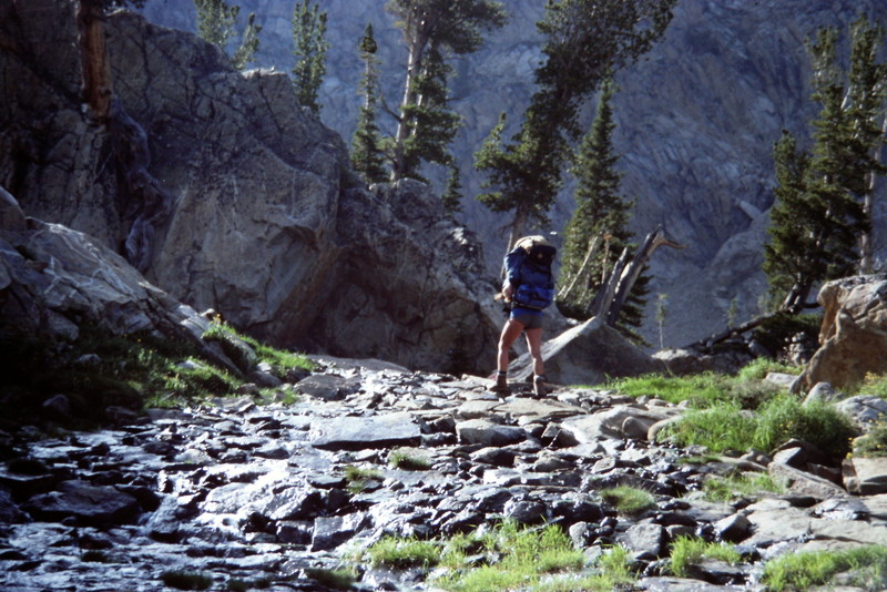
The route to the lake from the old mining camp moves in and out of the trees in its lower reaches with good footing most of the way.
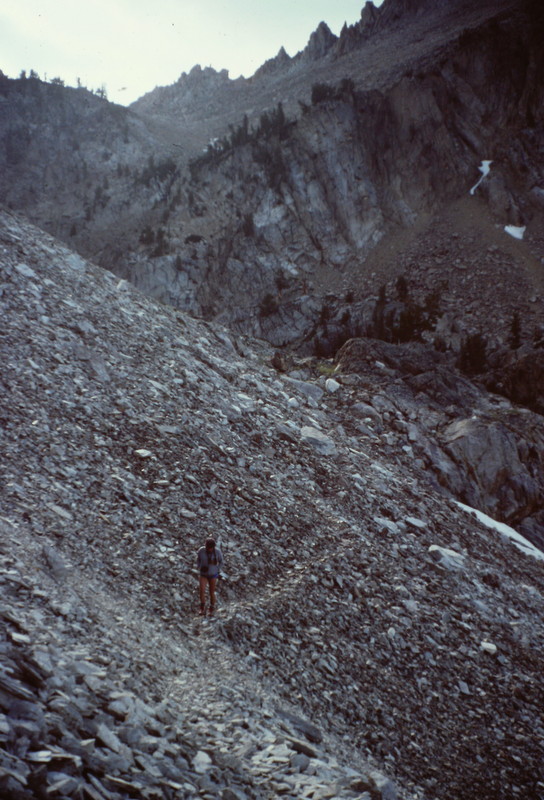
The last part of the route to the ridge north of Lake 9419 crosses this talus slope on a good game trail.
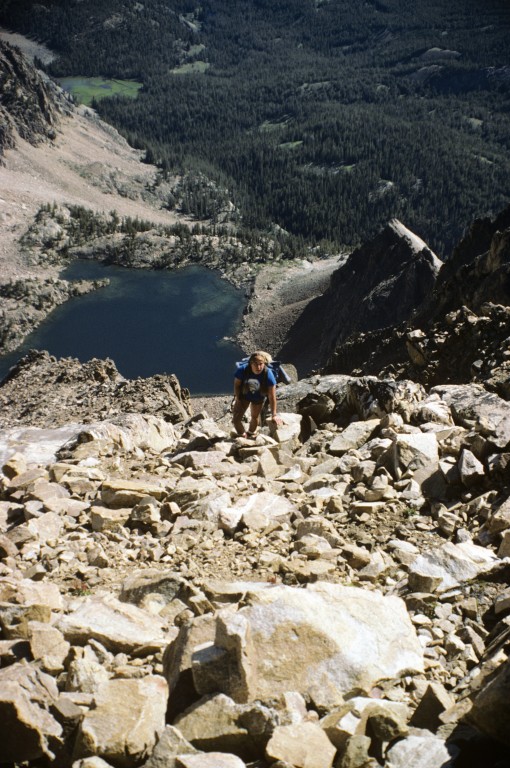
Dana Hansen climbing the Big Gully Route on Castle Peak.
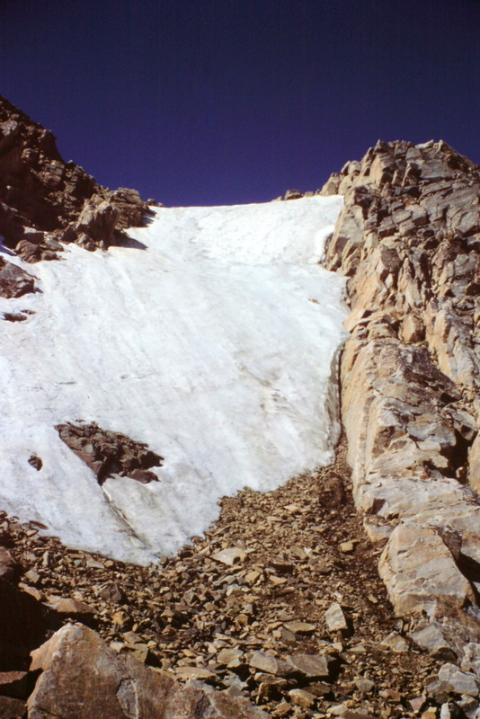
The final section of the Big Gully Route.
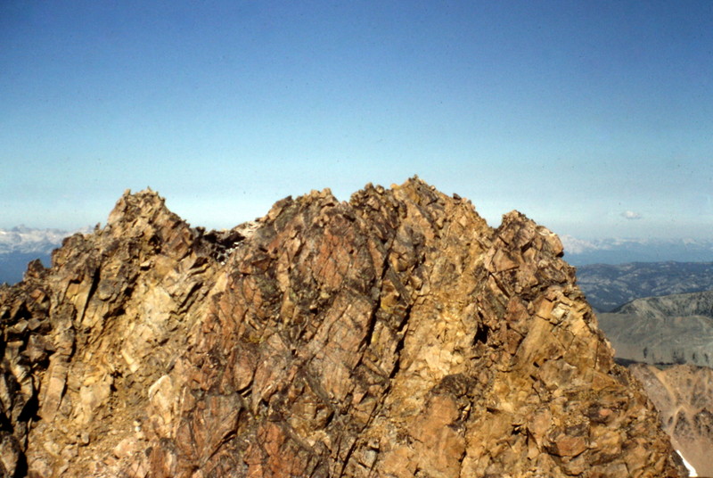
The West Summit as viewed from the Middle Summit.
Additional Resources
Regions: EASTERN IDAHO->White Cloud Mountains
Mountain Range: White Cloud Mountains
Year Climbed: 1985
First Ascent Information:
- First Ascent Year: 1912
- Season: Summer
- Route: Unknown
- Party: T.M. Bannon
- Other First Ascent: First Winter Ascent
- Year: 1971
- Season: Winter
- Party: Ron Watters, Ike Gayfield, j. Hokum, H. Gilbert, S. Schaffer and J. Elphinston
Pingback: Castle Peak and Molybdenum - IDAHO: A Climbing Guide