Elevation: 8,051 ft
Prominence: 431
Climbing and access information for this peak is found on page 345. Also see the Owyhee Mountains Peaks List for all of the peaks in this range. Published September 2019
South Approach
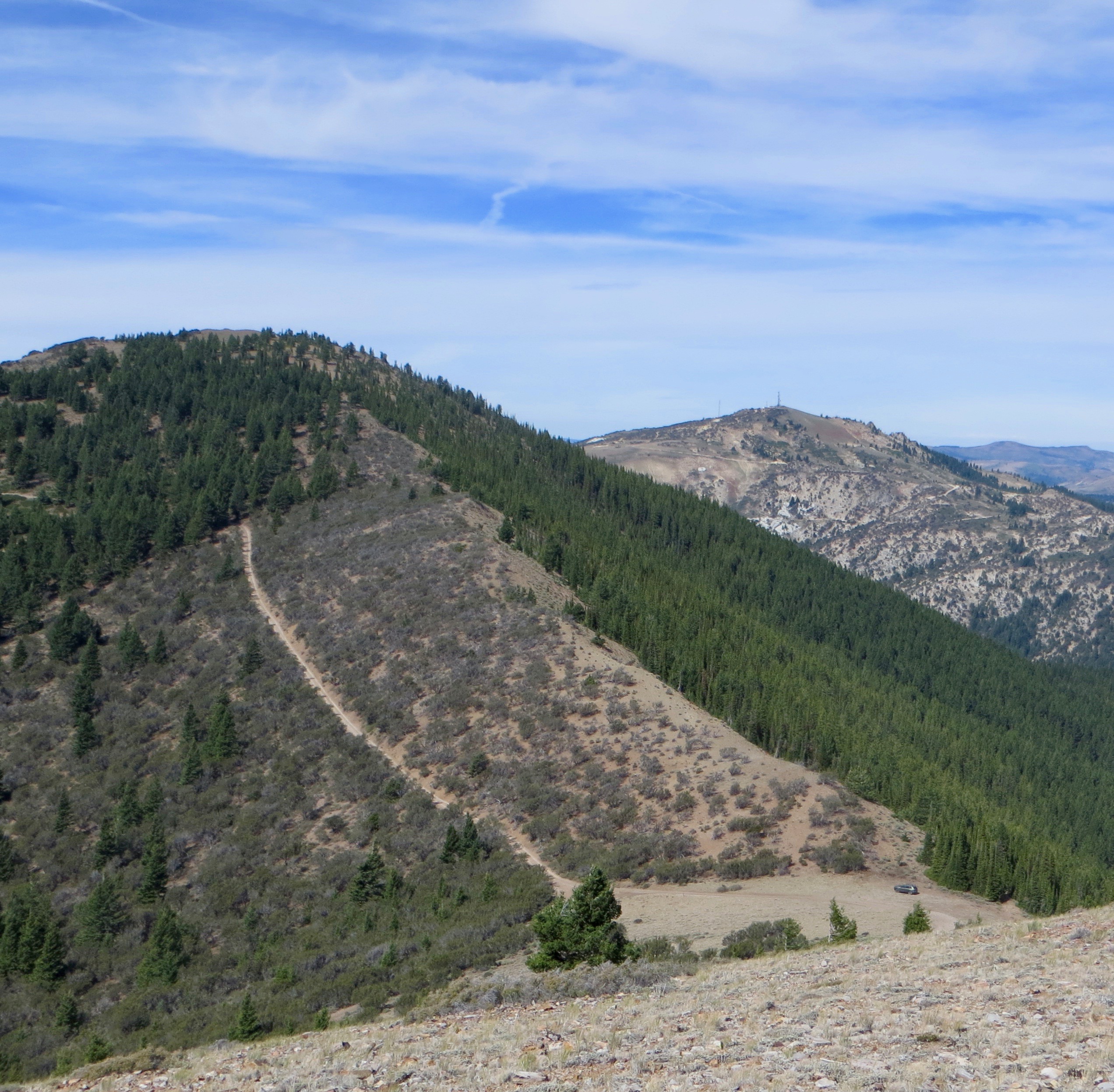
War Eagle Mountain has a patchy combination of public land (managed by BLM) and private land used by mining and communications companies. In spite of the private ownership, the peak is easily accessible to the public. Climb the peak via a prominent gravel road from the south used to service equipment on the summit. Both the south road and a trail from the west to the summit are frequently used by 4WD, ATV, and dirt bike riders. The summit is a popular viewpoint. The high point is an obvious small outcrop of rocks. USGS Silver City
Make a Day of It
While you are in the area, climb Hayden Peak, Turntable Mountain and Bald Mountain.
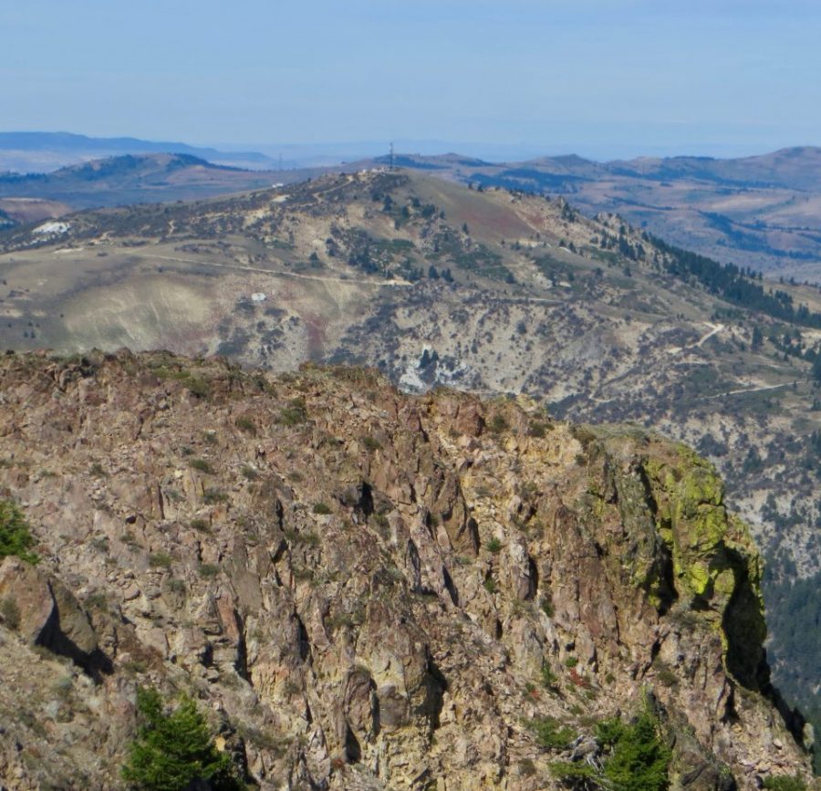
A view of War Eagle Mountain from the summit of Turntable Mountain. Steve Mandella Photo
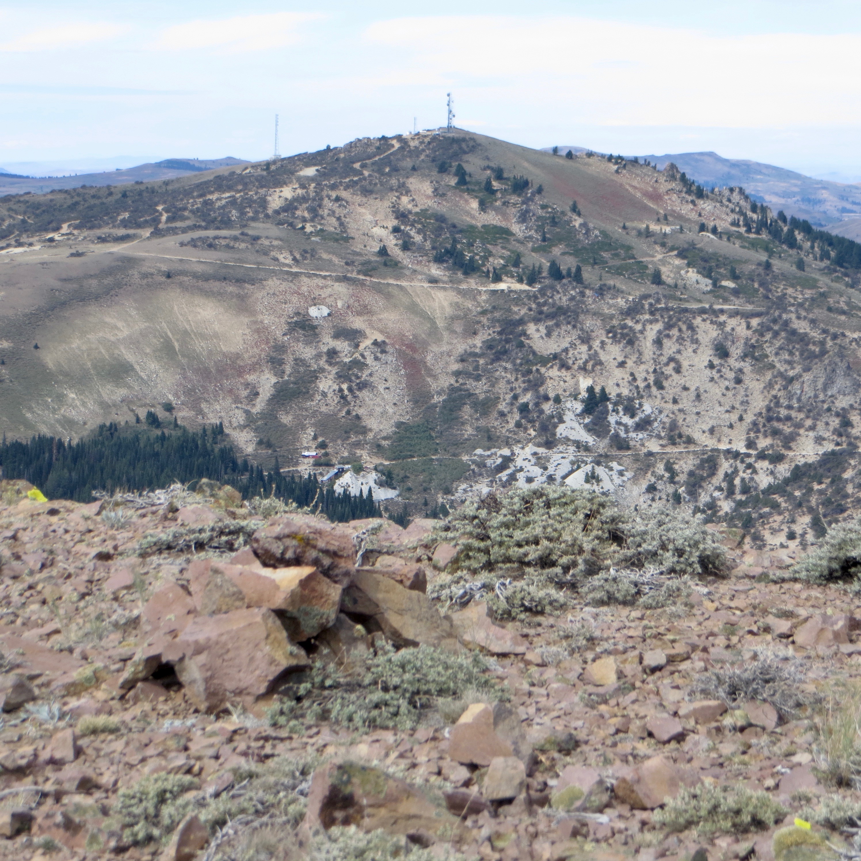
Turntable Mountain (left) and War Eagle Mountain (right) as viewed from the summit of Hayden Peak. Steve Mandella Photo
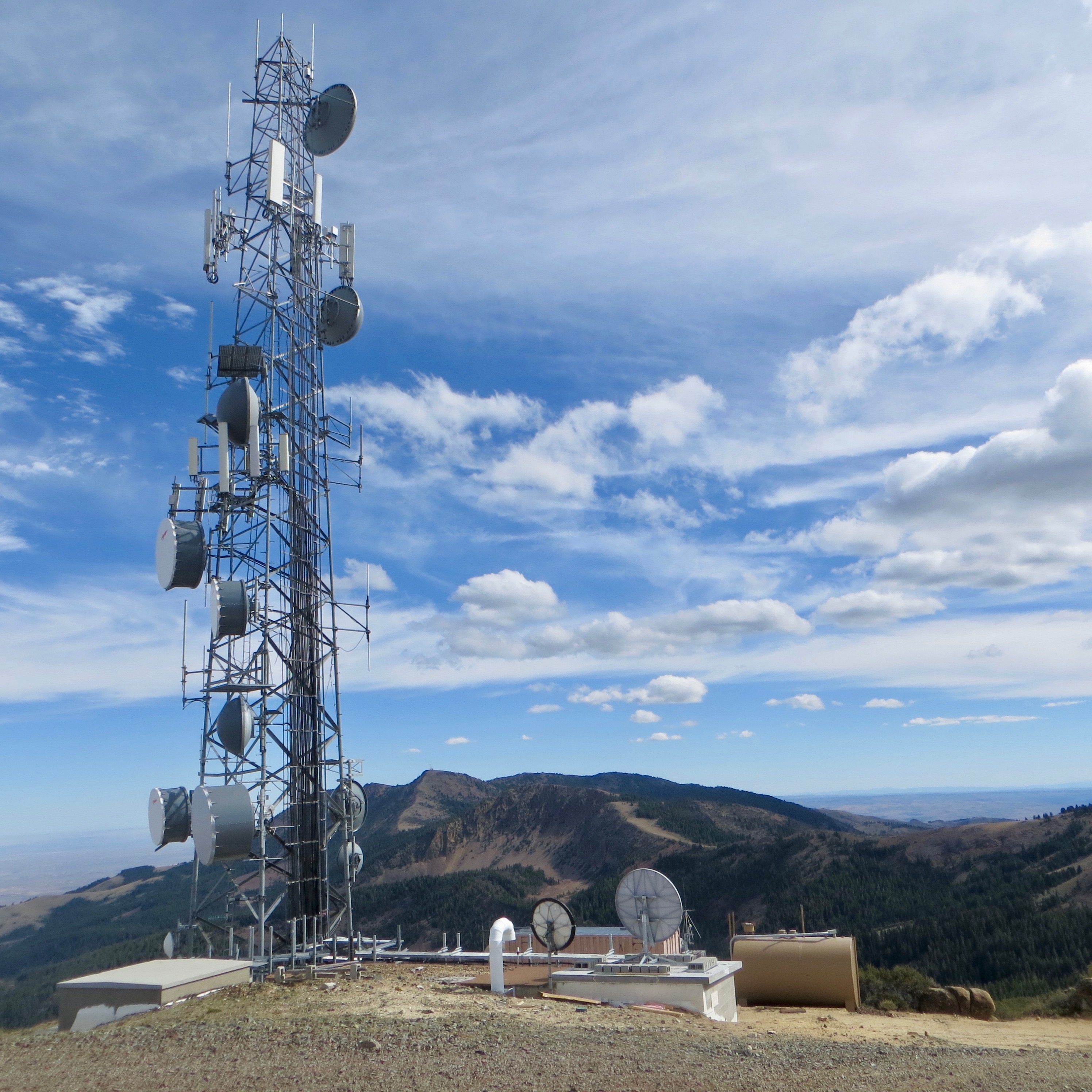
War Eagle’s antenna-clad summit with Hayden Peak and Turntable Mountain in the background. Steve Mandella Photo
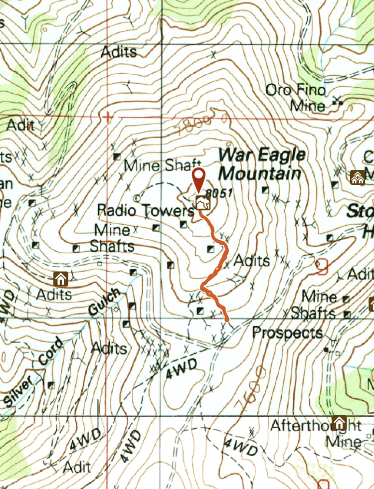
War Eagle Mountain GPS track.
Additional Resources
Regions: Owyhee Mountains->Silver City Range->SOUTHERN IDAHO
Mountain Range: Owyhee Mountains
Year Climbed: 1986
Longitude: -116.70459 Latitude: 43.00679