Elevation: 11,954 ft
Prominence: 653
Climbing and access information for this peak is on Pages 276-277 of the book. Also see Wes Collin’s article on The Lost River Traverse in the Climbing History Section.
The peak is named “Bad Rock” for good reason. Every approach crosses loose talus/scree that will make some climbers sob. Despite the fact that it is stuck between two Idaho 12ers (Leatherman Peak and Mount Church), Bad Rock Peak is one of Idaho’s great mountains. USGS Leatherman Peak
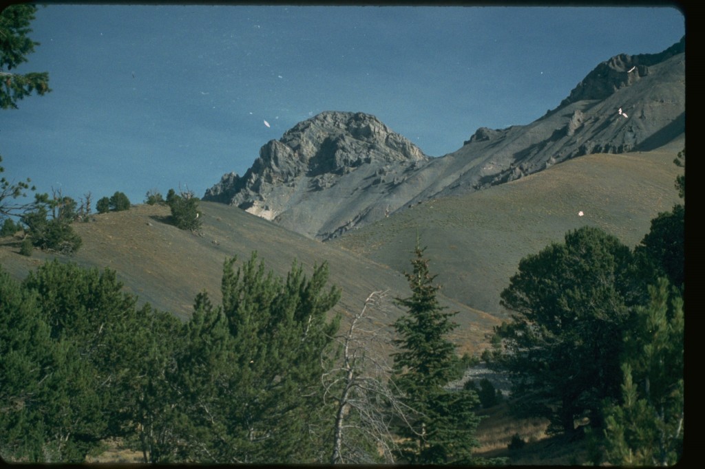
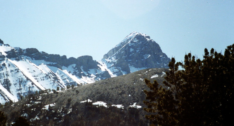
Bad Rock Peak as viewed from Sawmill Pass.
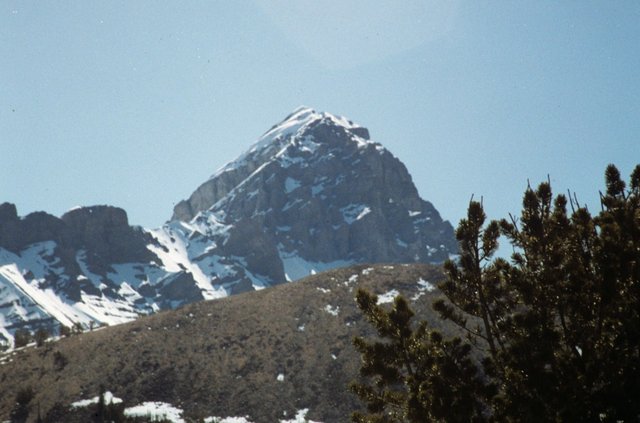
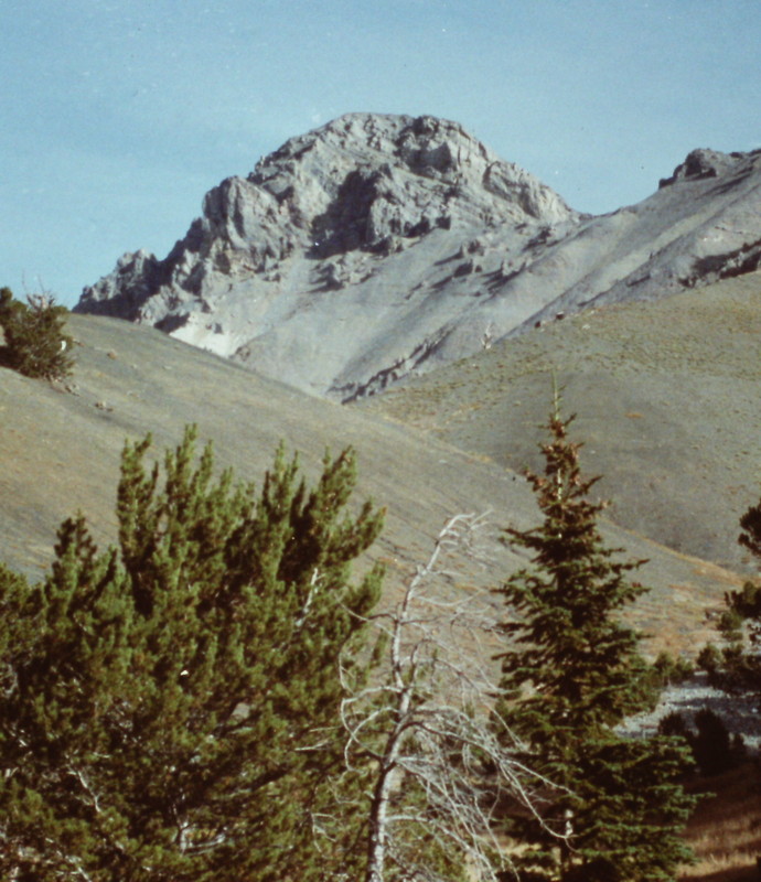
Bad Rock Peak as viewed from the slopes above Sawmill Gulch.
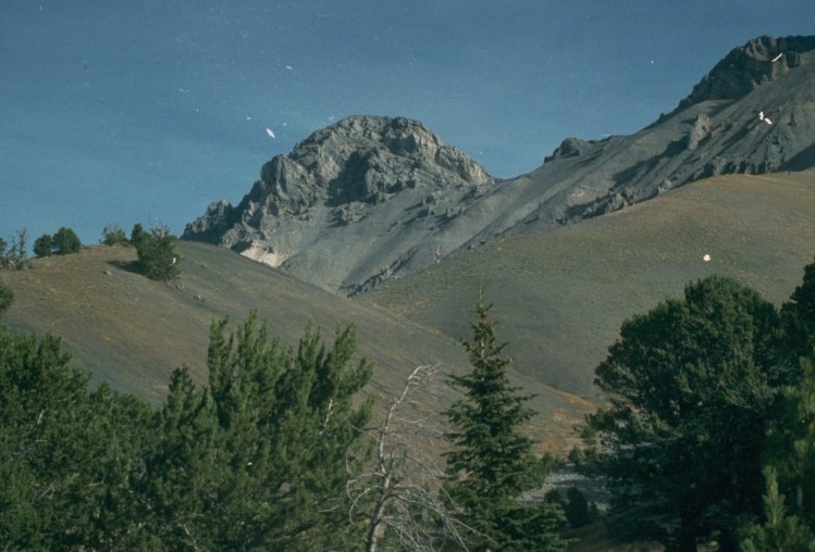
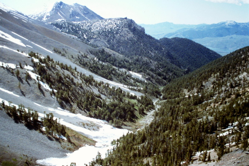
Bad Rock Peak as viewed from somewhere in Lone Cedar Creek. Lone Cedar Creek is tough to traverse in its lower reaches and after you accomplish the task, you are treated to acres of talus. It is true wilderness up there.
Approaches
1) Lone Cedar Creek [(B)(9)]
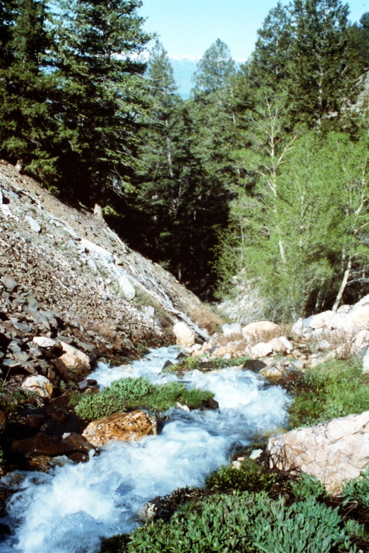
Not many people approach the peak from this drainage because it is trail-less. Like many Lost River Range drainages, the lower section of Lone Cedar Creek is difficult to traverse, especially during high water. Nevertheless, this approach is rewarding for those who like wild country.
Lone Cedar Creek as viewed from Sawmill Pass.
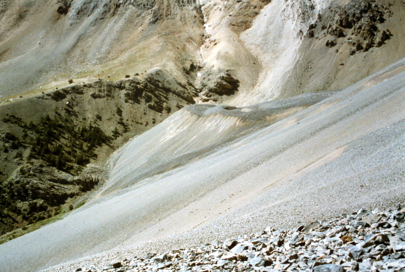
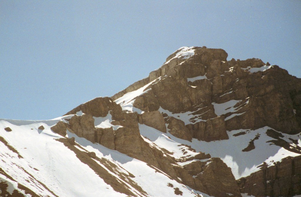
Once you get through the difficult lower sections of the drainage, you must navigate acres of talus.
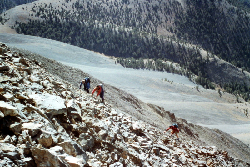
The talus varies in size from almost sand-like scree to large, tipsy rocks.
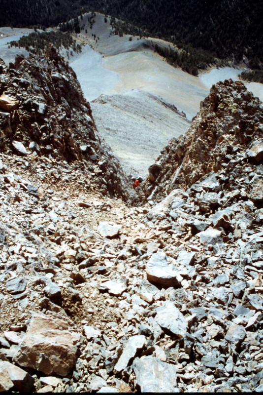
The saddle between Bad Rock Peak and Mount Church can be reached by climbing this debris-filled gully.
From the low point on the saddle, you can good progress to the cliffs below the summit. These cliffs involve Class 5 climbing. However, there is a goat path across the face leading to the peak’s North Ridge.
2) Sawmill Gulch and Pass
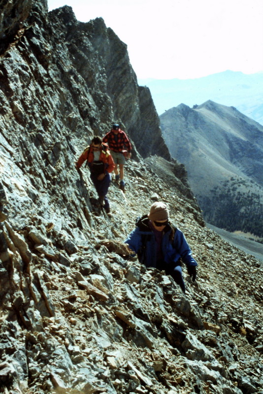
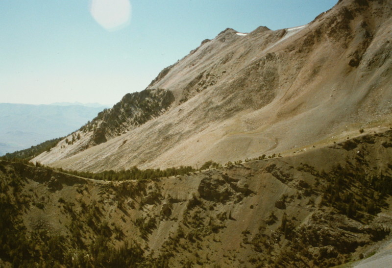
Sawmill Gulch has everything that Lone Cedar does not have: a road (albeit a rough one) to a high elevation and then a trail that leads first to Sawmill Pass and then to Leatherman Pass. Nevertheless, if you are going to climb Bad Rock Peak, you are still going to have to deal with a lot of talus as you drop down off Sawmill Pass into the upper reaches of Lone Cedar Creek and then climb up a steep talus/scree slope to reach the peak’s North Ridge.
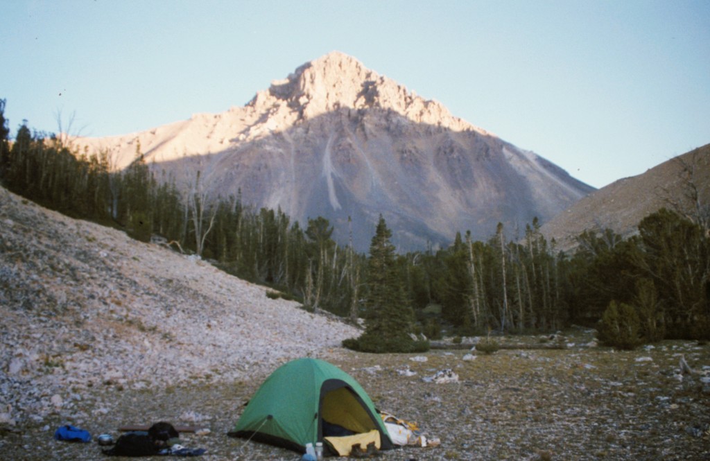
I have not traversed Sawmill Gulch since 1993, but recent reports state that the road and the trail are still in passable condition. As far as scenery goes, the trail crosses some great country.
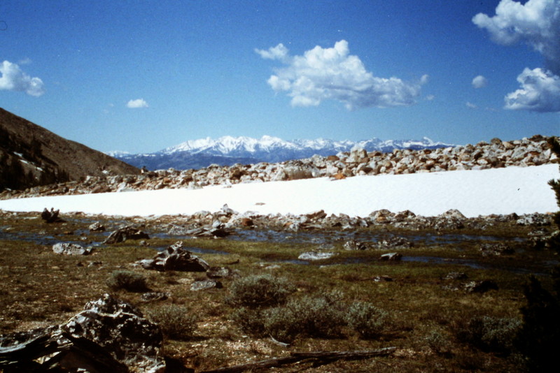
You can find flat places to camp near the top of the pass. This view is to the west and the Pioneer Mountains.
Leatherman Peak as viewed from Sawmill Pass.
Sawmill Pass as viewed from the North Ridge of Bad Rock Peak.
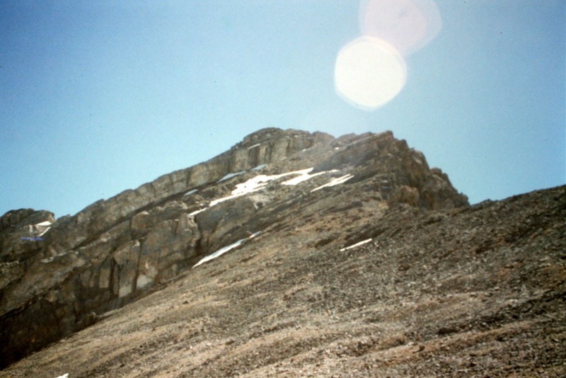
Once you get on top of the North Ridge of Bad Rock Peak, you see a clear line to the chimney on the summit block.
Additional Resources
Regions: EASTERN IDAHO->Lost River Range
Mountain Range: Lost River Range
Year Climbed: 1995
First Ascent Information:
- First Ascent Year: 1992
- Season: Summer
- Route: North Ridge
- Party: Rick Baugher