Elevation: 5,828 ft
Prominence: 758
This peak is not in the book. Margo Mandella and Livingston Douglas provided the information based below based on separate climbs. Updated December 2020
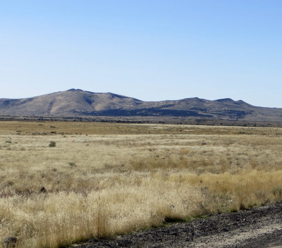
Cedar Butte is a prominent and popular peak in Bingham County, in an area that locals call the greater “Arco Desert.” The Bureau of Land Management conducts research within a 36,000-acre wilderness study area that includes this butte. Thus, it is relatively easy to access and enjoy. USGS Scoville —Margo Mandella
The double-humped summit of Cedar Butte (dead center) as viewed from the north, early on the ATV trail/road that leads all the way to the top. Livingston Douglas Photo
North Ridge by Livingston Douglas
Access
Cedar Butte is best accessed from Atomic City, ID. Atomic City is most easily reached on paved roads from the junction of US-20 and US-26 to the north. From that well-signed junction, drive south on US-26 for 6.7 miles to a [signed] right turn for Atomic City. Turn right and drive 1.3 miles on a paved road to reach Atomic City. The paved road ends at a junction with 2650W in bustling downtown Atomic City. Turn left/south onto 2650W and reset your odometer. Please note that 2650W should be labeled at “Taber Road” but is not.
At 1.3 miles, reach a [signed] junction with Cedar Butte Road (right turn). Turn right/west onto Cedar Butte Road and drive 4.4 miles to a signed junction for “Cedar Butte” (large BLM sign). The first 4.0 miles of Cedar Butte Road is wide and smooth (40-45MPH) until it reaches a UPRR railroad crossing. The road narrows here and becomes considerably rockier for the final 0.4 miles.
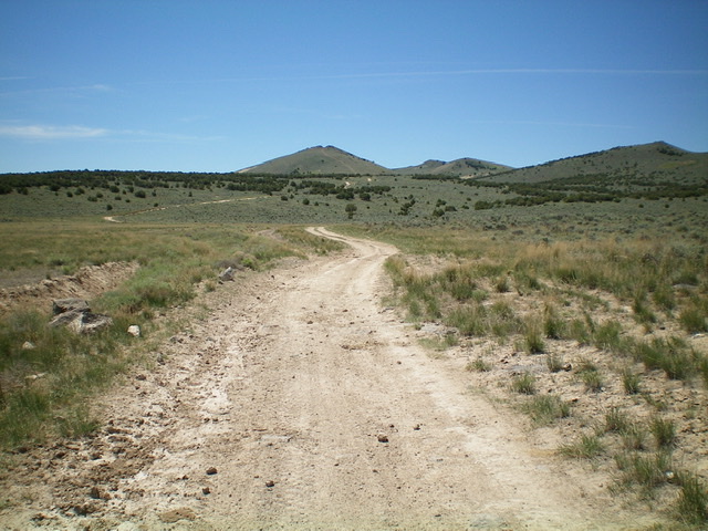
At the signed junction, turn left/south into a large parking area at the base of the much rougher ATV road that heads south all the way to the summit of Cedar Butte. Park here (5,018 feet) if you care about your vehicle or be lazy and ride an ATV or MC to the top. It is only about a 2-mile hike up the rugged, steep ATV road to the summit and you need the exercise anyway.
North Ridge, Class 2+
The Climb
This route is mostly Class 1. Hike up the rugged ATV trail as it aims directly at the summit of Cedar Butte. Make two right turns on the ATV trail (both are unsigned junctions) and a final left turn for the very steep conclusion of this road hike. The ATV trail in this final section is STEEP and LOOSE as it climbs up the north ridge to the summit area at a notch. Please note that the USGS topo map does NOT show this ATV trail at all. It shows a jeep road heading southward and avoiding the peak entirely. You can see the ATV trail heading up the north ridge all the way from the base of the road at 5,018 feet.
The road ends in a notch between two rocky summit blocks. The south block appears to be slightly higher than the north block, but stand atop both just to be sure that you’ve reached the true high point. These blocks are both part of the true/east summit of Cedar Butte. The north block goes at Class 2 whereas the south block is rockier and goes at Class 2+. The ATV trail/road doesn’t quite put you to the summit but it gets you very close.
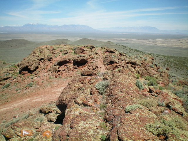
Looking from the south/true summit block of Cedar Butte to the [slightly lower] north summit block not far away. Livingston Douglas Photo
North Ridge by Margo Mandella
Access
Take Tabor Road, south of Atomic City, to W 1600 N as it travels west and then southwest. Turn off on a prominent gravel road (signed for Cedar Butte) that heads toward the butte. Travel along this road as far as you can toward the base of the butte. The roads in this area can be difficult to travel, especially when wet and warm, so plan your trip accordingly.
North Ridge, Class 1
The road turns into an ATV trail. Hike up the ATV trail to the summit area. Though it appears to be double-summitted, the true high point is the East Summit. The West Summit is a few feet shorter. Make a loop of the two high points and enjoy views of the desert and nearby Big Southern Butte and Table Legs Butte. To the northeast, you can see Middle and East Buttes which are on private land managed by the Idaho National Laboratory.
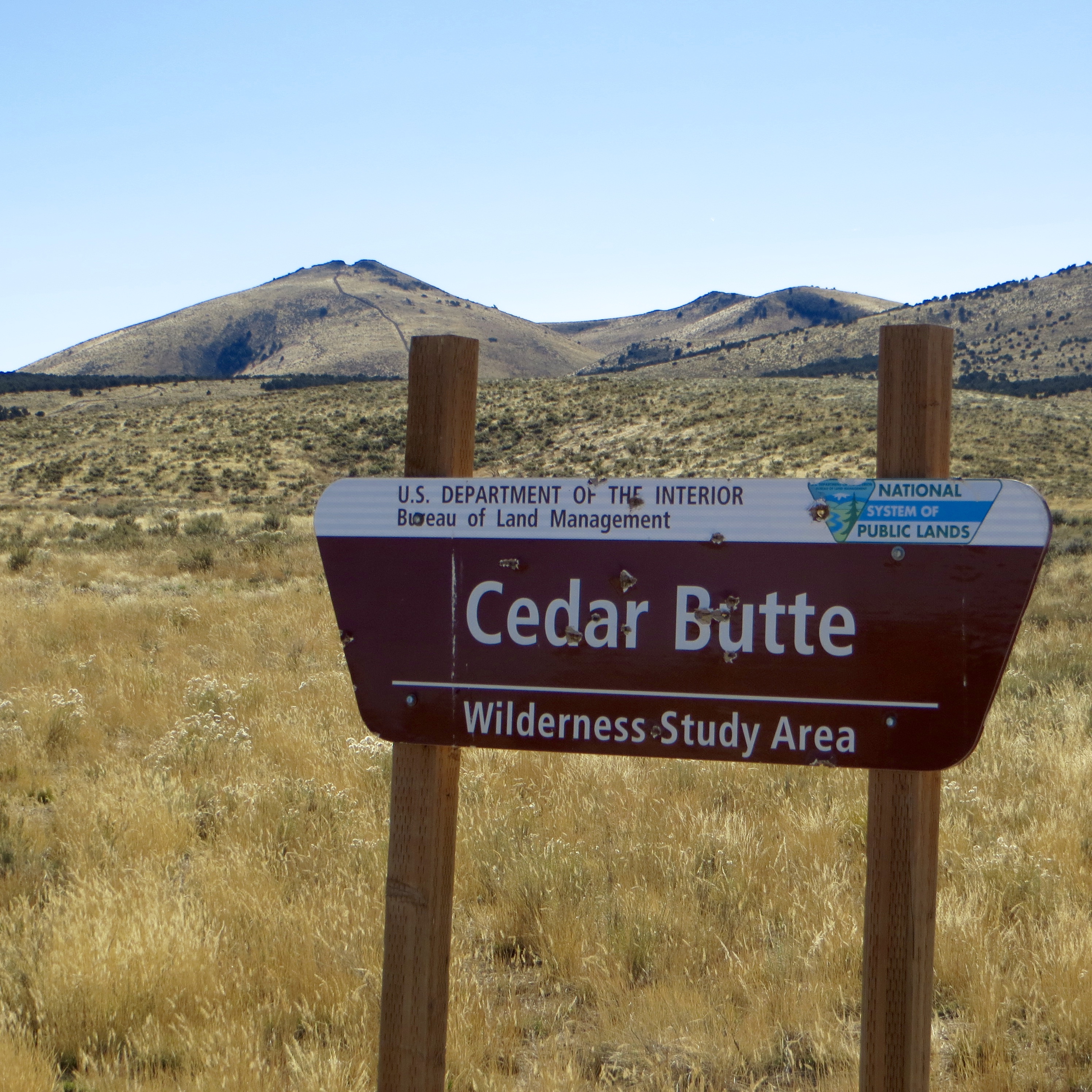
Area marker with Cedar Butte in the background. Steve Mandella Photo
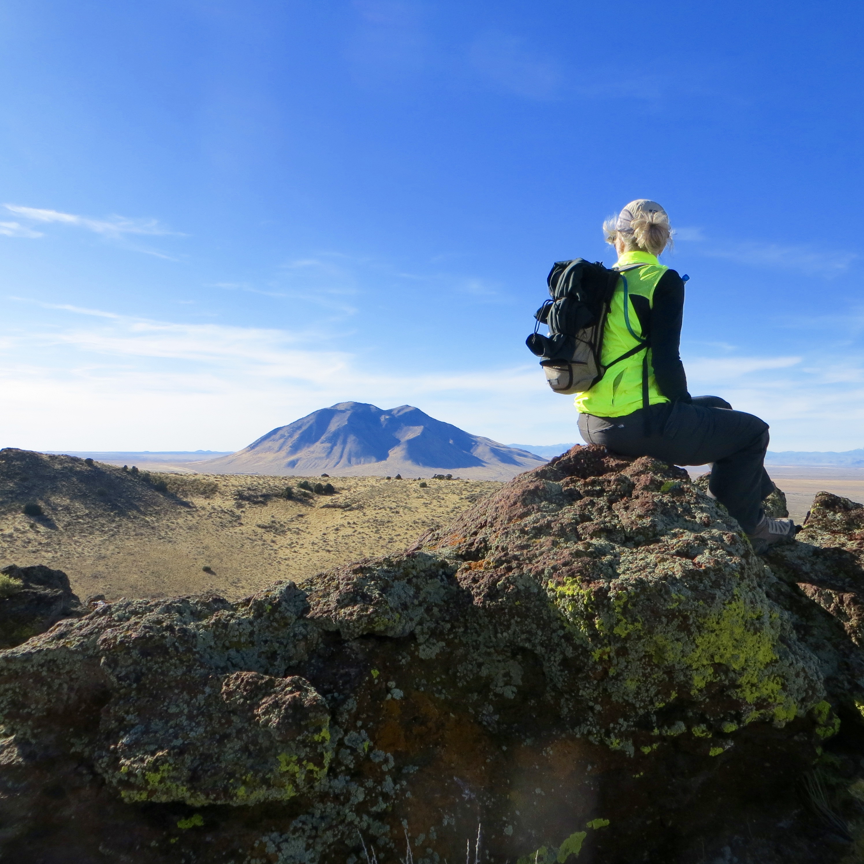
The summit of Cedar Butte with Big Southern Butte in the distance. Steve Mandella Photo
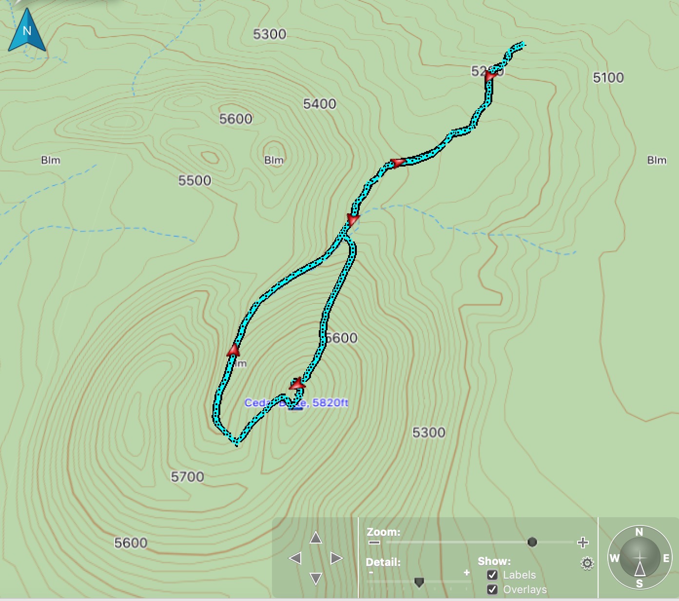
Cedar Butte climbing route. Steve Mandella track
Additional Resources