Elevation: 7,664 ft
Prominence: 204
This peak is not in the book. Published November 2019
Cotton Ridge is one of the many named ridges in the South Hills. It is sandwiched between Freds Mound to the east and the long northwest ridge of Trapper Peak to the west. The summit offers a nice view to the north. Cotton Ridge itself is over three miles in length. USGS Trapper Peak
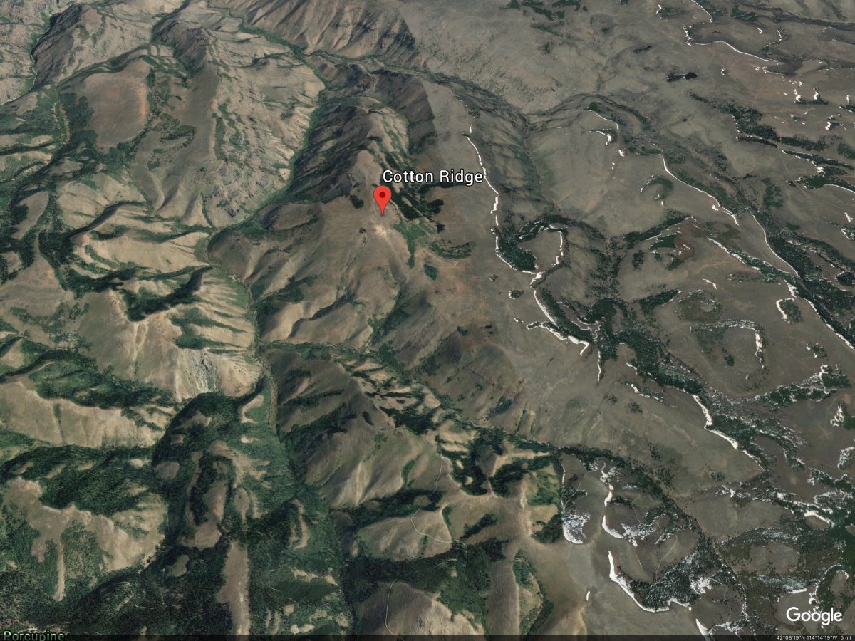
Google Earth Image
Southeast Ridge, Class 2
Access
Park at base of FSR-591 just outside the entrance to Father and Sons Campground. The elevation here is 7,260 feet. Depending upon road conditions, you may be able to significantly shorten this hike by driving up FSR-591, FSR-532, and FSR-172 and parking close to the base of the southeast ridge or southwest face of Cotton Ridge.
The Climb
Follow FSR-591 to its terminus at a junction with FSR-532. Go left/southwest onto FSR-532 and follow it to a junction with FSR-172 (just after crossing a cattle guard). Follow FSR-172 west then northwest for almost 1-1/2 miles to reach the base of the south ridge of Cotton Ridge just after passing an obvious saddle. The road descends 140 feet to reach this saddle.
Stay on FSR-172 until you pass the thick aspen forest and thick brush near the road. Leave the road and scramble north up a steep scrub slope to quickly reach the rounded ridge. Follow the ridge northwest up to the summit area. Thankfully, the sagebrush shortens as you gain elevation here. The final ridge section follows the left/west side of a fence row. The summit high point has a cairn and is located just past the corner of the fence row.
Additional Resources
Regions: South Hills->SOUTHERN IDAHO
Mountain Range: South Hills
Longitude: -114.21569 Latitude: 42.18501