Elevation: 7,580 ft
Prominence: 640
This peak is not in the book. Livingston Douglas has provided detailed access and route information which is set out below. Updated November 2019
The highest point on the South Hills’ Deadline Ridge is located just north of the Idaho/Nevada border. USGS Timber Butte

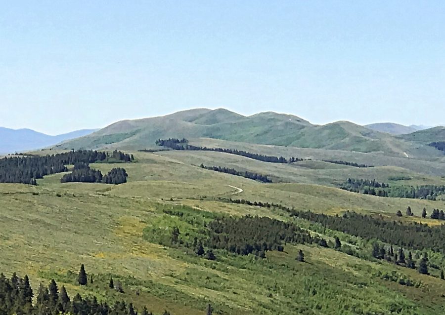
The Deadline Ridge high point as viewed from North Deadline Ridge.
Deadline Ridge by Livingston Douglas
This is the high point of the very long north-to-south ridge that is Deadline Ridge. There are numerous points on this ridge to confuse you as to which one is the high point, especially from Timber Butte southward. Use a USGS topo map and keep track of your mileage (or of the number of saddles you have crossed) in order to nail this one. I overshot it slightly, reaching a cattle fence (shown on the USGS map). I stopped there and backtracked up the west face to reach the high point. After the cattle fence, it’s all downhill to the south.
Access
From the junction of FSR-500 and FSR-541/Deadline Ridge Road (about 1.3 miles south of the Magic Mountain Ski Area), go right/west onto FSR-541. At 0.2 miles, turn left/south at an unsigned “T” junction. At 5.8 miles, go straight/south at a junction with FSR-542/Winecup Creek Road. Continue south on FSR-541. At 7.5 miles, park in a pullout on a hilltop just south of the road junction with FSR-543. The elevation here is 7,090 feet. The road becomes rougher after this point.
West Face, Class 2
This is mostly a road hike with a short scramble up an easy scrub/gravel slope to the summit. Hike south on FSR-541/Deadline Ridge Road past Timber Butte (1 mile) then past Shale Benchmark (2-1/2 miles). Continue another two miles on FSR-541 through numerous ups and downs to reach a cattle fence that blocks your way. Stop here and backtrack slightly to scramble a short distance up the West Face to the small summit. The terrain here is easy, short scrub and goes quickly.
West Ridge, Class 1
Access
Same as for the west face
The Descent
From the summit, descend a 2-track jeep road (not shown on maps) west-northwest to intercept the Deadline Ridge Road. This is the standard ascent route from the north, but there are other points with old roads leading up to their tops, too. You just might consider this old road yet another climb up a false summit but it’s not. This is the REAL ONE.
Additional Resources
Regions: South Hills->SOUTHERN IDAHO
Mountain Range: South Hills
Longitude: -114.28849 Latitude: 42.02929