Elevation: 5,847 ft
Prominence: 157
This peak is not in the book. Published November 2021
Echo Crater is a magnificent, rocky crater located in the middle of the south end of the developed part of the Craters of the Moon National Monument. Its measured high point (5,847 feet) is on the edge of the rocky southwest rim of the crater. The Wilderness Trail skirts the west side of Echo Crater. USGS Inferno Cone
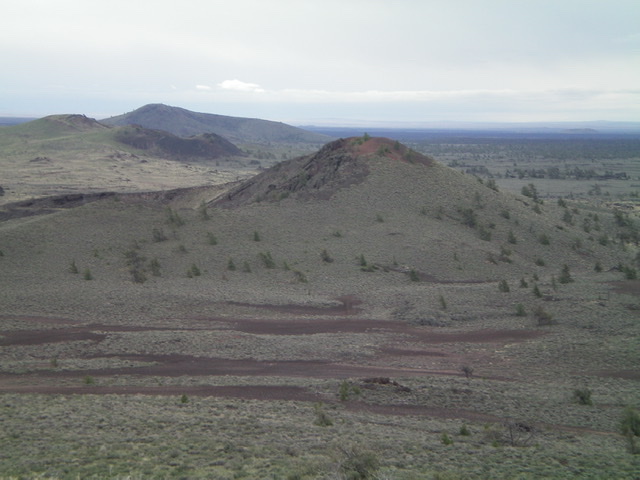
Echo Crater (mid-ground, left of center) as viewed from the southeast. The summit is on the left-side crater rim. Livingston Douglas Photo
Access
Same as for The Sentinel. Echo Crater is the third peak of a 5-peak adventure in the south half of CMNM that includes The Sentinel (5,812 feet), The Watchman (5,858 feet), Echo Crater (5,847 feet), Coyote Butte (5,909 feet) and Crescent Butte (5,990 feet). It covers 14.5 miles with 2,050 feet of elevation gain round trip.
South Ridge, Class 2
The Climb
From the 5,590-foot connecting saddle between The Sentinel and The Watchman, scramble west through sagebrush up over a minor ridge to reach the Wilderness Trail. Follow the Wilderness Trail northwest to about 5,600 feet at the toe of the south ridge of Echo Crater. There are multiple unidentified humps along the Wilderness Trail, so it is best to get a good look at Echo Crater from the summit of The Watchman. You can then avoid climbing the wrong hump (e.g., Point 5631). Leave the Wilderness Trail and scramble northeast through sagebrush to reach the rocky, crumbly south ridge of Echo Crater’s southwest rim. Hike left/northwest then north up the gravelly crater rim to reach the high point. There is no summit cairn.
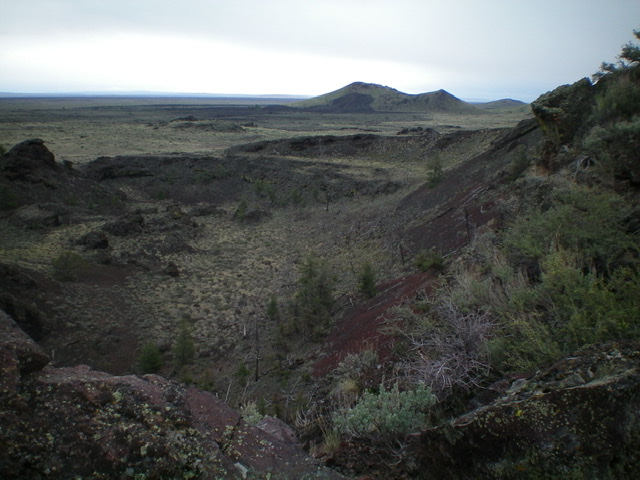
Looking down into Echo Crater. Livingston Douglas Photo
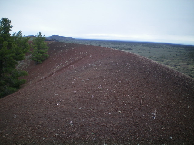
The high point of Echo Crater is on its red-gravel crater rim on the west side of the crater. Livingston Douglas Photo
West Face, Class 2
The Descent
From the summit, carefully descend north on the crumbly crater rim (there is a use trail here) a bit then drop left-ish/northwest to intercept the [visible] Wilderness Trail below. The west face is a somewhat pesky mess of sagebrush and other scrub. This concludes the third leg of today’s 5-peak journey. Coyote Butte is up next.
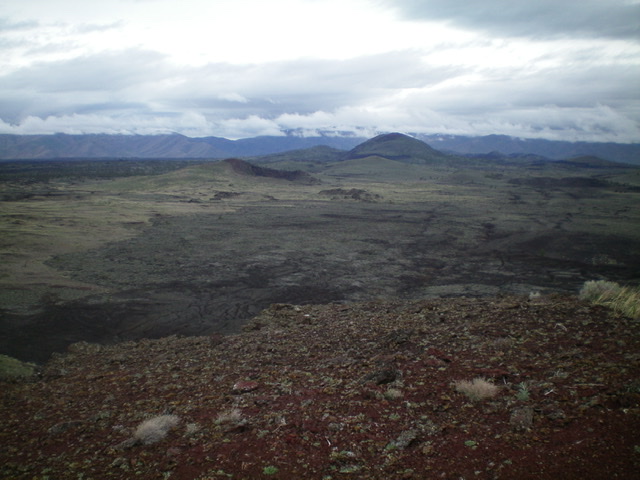
Echo Crater and its northwest face (my descent route). The crater is on the far side. It just looks like a sagebrush hump from this angle. Livingston Douglas Photo