Elevation: 7,380 ft
Prominence: 400
This peak is not in the book. Livingston Douglas supplemented this page with three photos. Updated January 2023
Idaho Ridge is located west of Driggs, Idaho and NNE of Mount Manning in the Big Hole Mountains. The peak is best described as a long, mellow NNW-to-SSE ridge. Along this ridge are 4 potential summits that vary in height by mere feet. Maps show the true summit as the 2nd high point from the north. However, unconvinced by our Garmin GPS, we “summitted” the entire ridge. With a 4WD vehicle, Idaho Ridge is easily accessible. Without a 4WD vehicle, the peak is still a reasonable climb. Idaho Ridge is also a good peak to mountain bike if you have climbing and downhill skills. USGS Garns Mountain
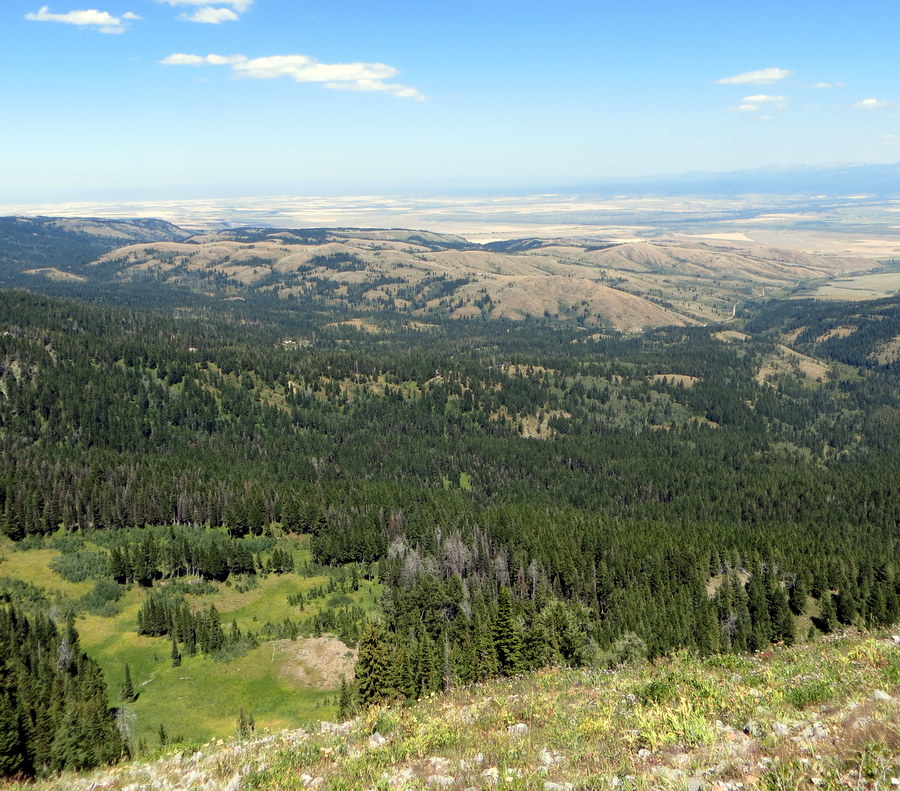
Idaho Ridge (mid-ground, left of center) as viewed from the summit of Campbells Hump to its north. Livingston Douglas Photo
Access
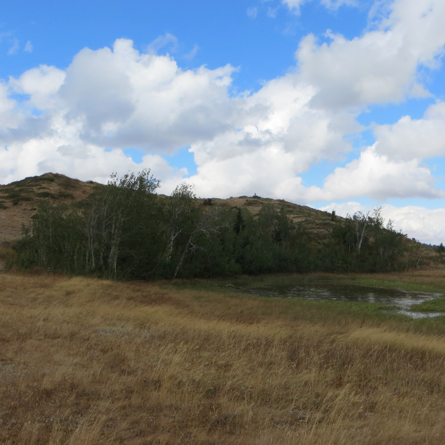
One of two lakes along Idaho Ridge. Steve Mandella Photo
From Driggs, take Bates Road west. Turn right on N 7000 W then turn west again on Old Horseshoe Road/FSR-235. This is a good gravel road for all vehicles. Continue on Old Horseshoe Road until you reach a parking area. This lot is a popular staging area for hikers, mountain and dirt bikers, OHV riders, hunters and Winter sports enthusiasts. There are many trails and recreational opportunities that can be accessed from this point.
If you do not have a 4WD vehicle, park at the parking area and hike from there. If you have a 4WD vehicle, continue north on FSR-235 until it reaches FST-070. This trail is not marked, but it is the prominent, short, steep trail that takes off to the east from FSR-235. Park just off the intersection along FST-070.
Routes
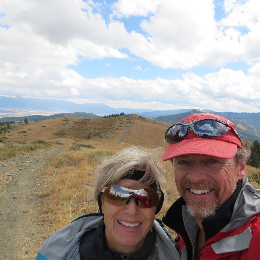
On the summit…a game of which summit spot is higher than the others. Steve Mandella Photo
Be aware that there is private property to the south of Old Horseshoe Road, but it is clearly marked. The Idaho Ridge trails are popular for motorcyclists and mountain bikers, so be alert for traffic.
Northwest Approach, Class 2
From the parking lot, hike up FSR-235 to FST-070. Head east on FST-070 up a short, but steep, climb to the ridge. Hike along the trail to the true summit, or hike the entire ridge, noting two small lakes south of the summit. The ridge views include the Teton Mountains and Teton Valley to your east, Relay Ridge and Ryan Peak to your west, and Mount Manning and other Big Hole peaks to the south. Retrace your route to descend.
Southeast Approach, Class 2
This approach uses FST-140 which starts off the road, east of the parking area. FST-140 connects with FST-070 and reaches the summit ridge at its South End at Point 7272. Hike north to the true summit. Retrace your route to descend.
East Approach, Class 2
This approach uses the Woods Hollow Trail that begins on private property before crossing the forest boundary. The trail is accessed from Old Horseshoe Road around the 6,146-foot contour. The Woods Hollow Trail turns into FST-140 and reaches the ridge at Point 7272. Retrace your route to descend. Of the 3 approaches, this one is the longest.
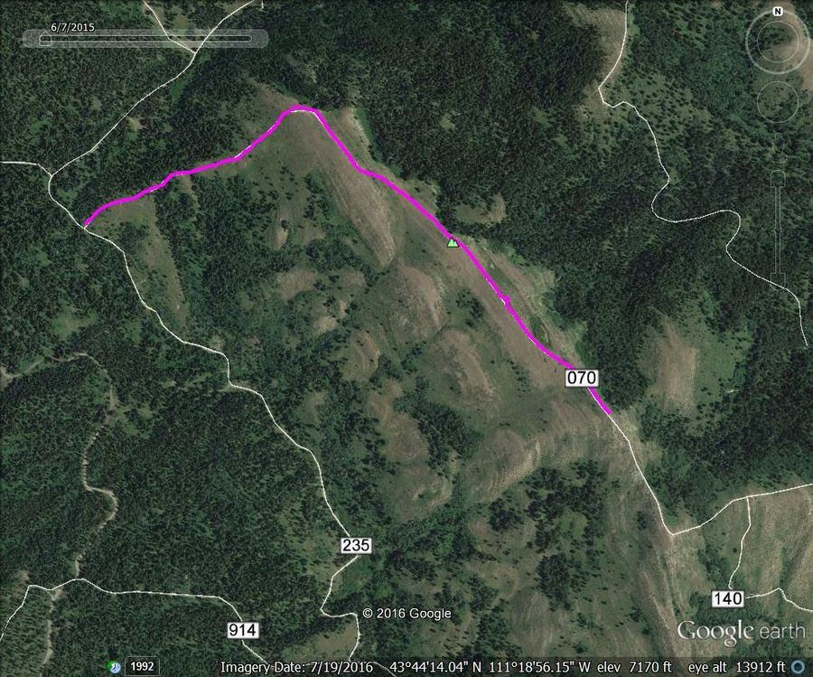
Steve Mandella’s GPS track
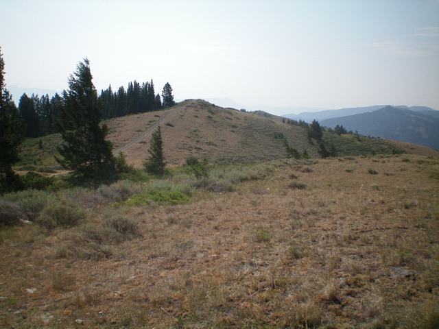
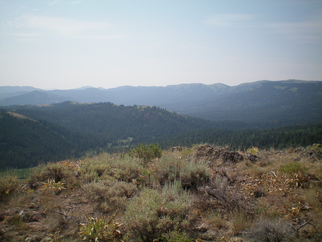
The summit hump of Idaho Ridge as viewed from Point 7348 to its northwest. Livingston Douglas Photo
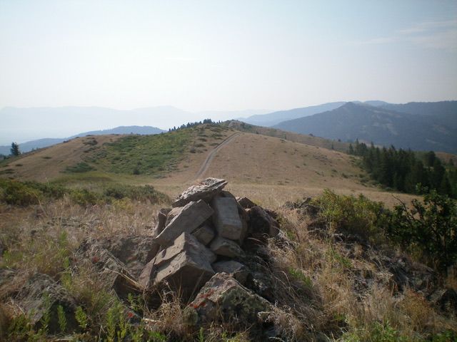
The large summit cairn atop Idaho Ridge, looking northwest along the ridge crest. Livingston Douglas Photo
Additional Resources
Mountain Range: Big Hole and Snake River Mountains
Longitude: -111.31419 Latitude: 43.73969