Elevation: 6,450 ft
Prominence: 310
This peak is not in the book. Published April 2018
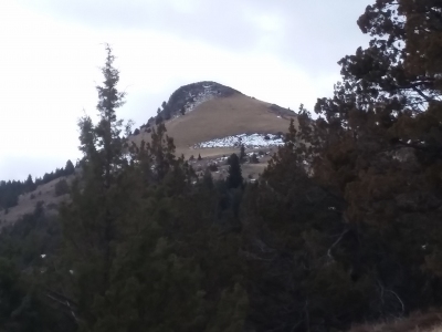
This distinctive summit is located southeast of Black Mountain and north of Silver City. It is less rugged than its neighbor to the south, Sugar Loaf, but is slightly higher which is likely how it received its name. If your vehicle can make it, Little Sugarloaf is a short hike, but I did this one in February and driving close was not an option. USGS Silver City
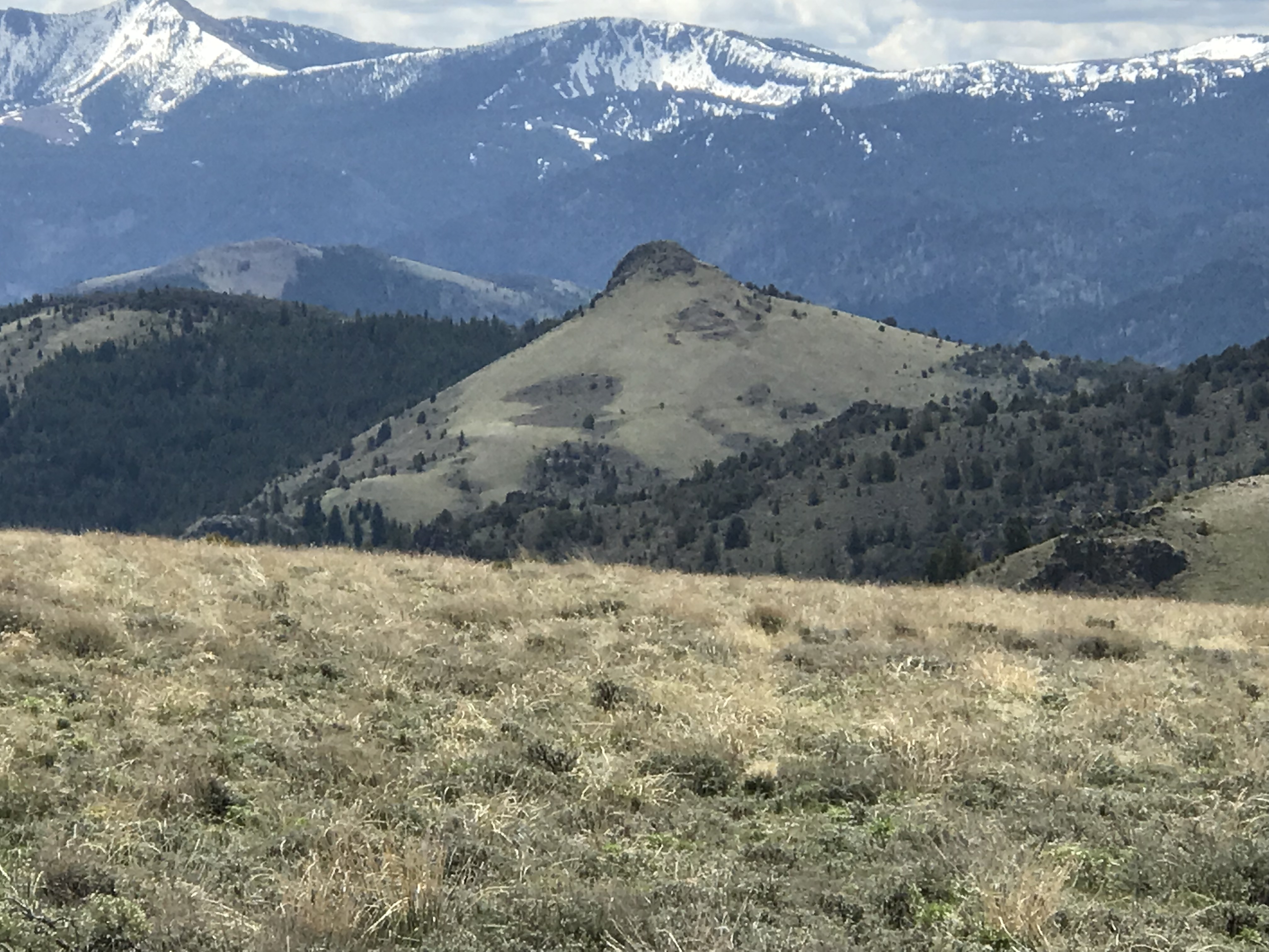
Little Sugar Loaf as viewed from the northwest along the Black Mountain Road. Tom Lopez Photo
Access
Begin your approach in Murphy and take the Rabbit Creek Road toward Reynolds. From Rabbit Creek Road, turn south on the signed Slacks Mountain Road that leads towards Black Mountain. See the Reynolds Area Access page for more details. At the base of Black Mountain, where the Slacks Mountain Road crosses Sheep Creek, take the left fork which leads to the top of Black Mountain. About a mile past the summit of Black Mountain, turn left on the road north of the North Fork of Sinker Creek. About a mile down that road, turn south and follow this road to the base of the Little Sugar Loaf. This road crosses private property but there as an “Access Yes” sign allowing through traffic at the time of my hike. However that is subject to change but the road can easily be bypassed to the west.
Route
From the road, it is an easy hike to the summit. A 4WD vehicle is required if going past the base of Black Mountain. It may be possible to approach this peak from the east if the road is not posted. The summit has nice views and the approach is hike is scenic. Length and elevation gain will depend upon how far you drive. The drop off of the Black Mountain Road to the base of Little Sugar Loaf is 600 vertical feet which also means it will be a 600-foot climb to get back to the road.
Additional Resources
Regions: Owyhee Mountains->Silver City Range->SOUTHERN IDAHO
Mountain Range: Owyhee Mountains
Longitude: -116.7042 Latitude: 43.0957