Elevation: 10,309 ft
Prominence: 1,001

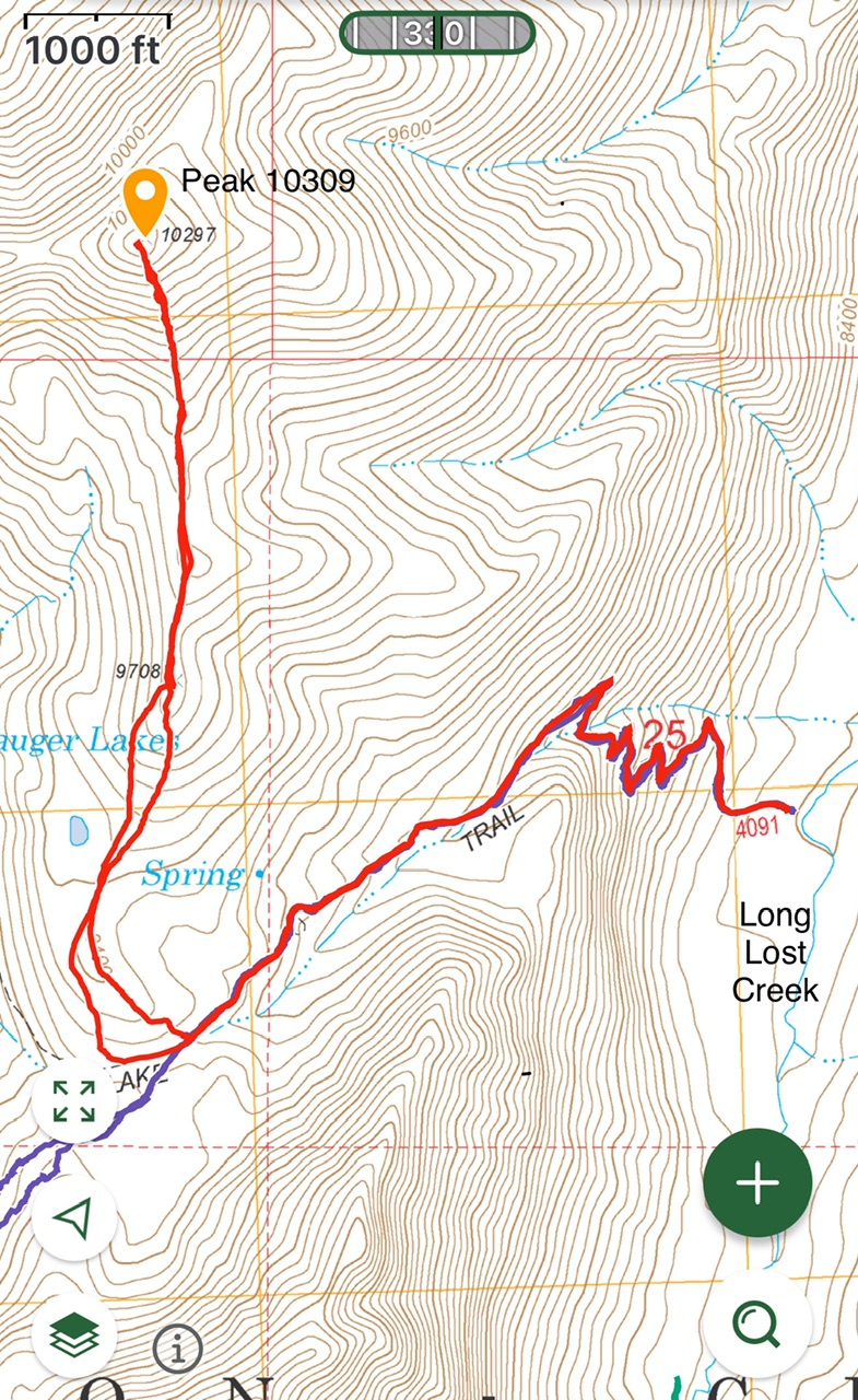
Climbing and access information for this peak is on Page 284 of the book. The map elevation for this peak is 10,297. LiDAR measurements have corrected the elevation to 10,309. I added my GPS track for my recent ascent. Updated August 2025
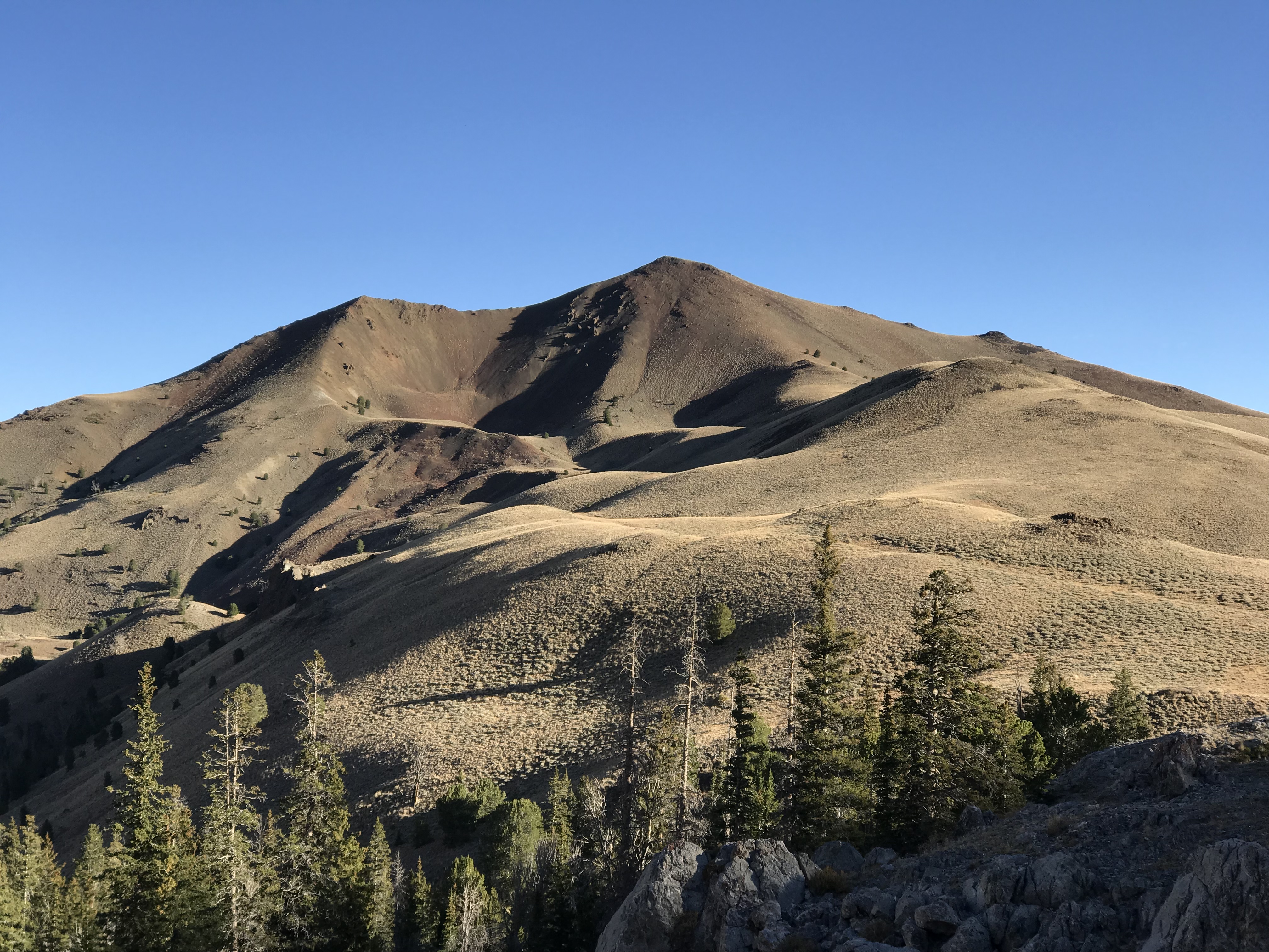
Peak 10297, located by Ferguson Peak and Swauger Lakes, is one of those peaks uniquely situated to provide a 360-degree view of the Lost River Range and Lemhi Range mountains. It’s also a good peak to do after wearing yourself out on Ferguson Peak or the North Face of USGS Peak. USGS Massacre Mountain
Access
The south ridge is accessed from Long Lost Creek and the Swauger Lake Trail. The Swauger Lake Trail is well maintained. Access information is found at this link: (6.1.1) FS-434, Long Lost Creek Road.
South Ridge, Class 2
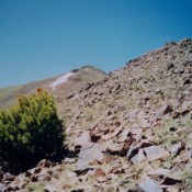
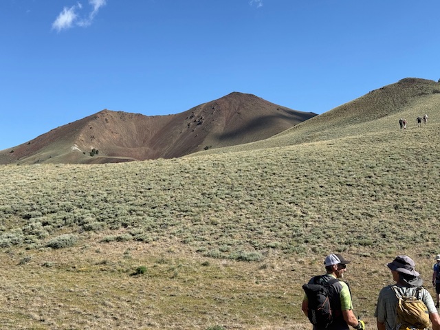
Leave the Swauger Lake Trail at roughly 9,400. The treeless ridge has good footing for the most part.
Additional Resources
Regions: EASTERN IDAHO->Lost River Range
Mountain Range: Lost River Range
Year Climbed: 1995, 2025
Longitude: -113.57539 Latitude: 44.09049


