Elevation: 10,536 ft
Prominence: 396
This peak is not in the book.
Peak 10536 is the northernmost summit on a ridge that divides the Lake Creek and Muldoon drainages at the south end of Copper Basin. Access Peak 10536’s summit from either drainage, or traverse the ridge from Atlas Peak located roughly a mile to the south. USGS Star Hope Mine
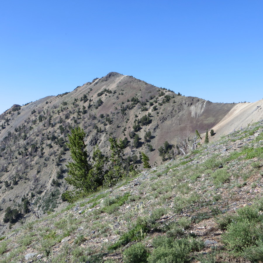
Peak 10536 as viewed from Roundup Peak
Access
The peak can be accessed from the west via Muldoon Canyon, located west of Star Hope Campground in Copper Basin. The Copper Basin Loop Road takes you to FS-510 at the loop’s south end. The peak can also be accessed from the east via the Lake Creek Recreation site, just off the Copper Basin Loop Road.
Routes
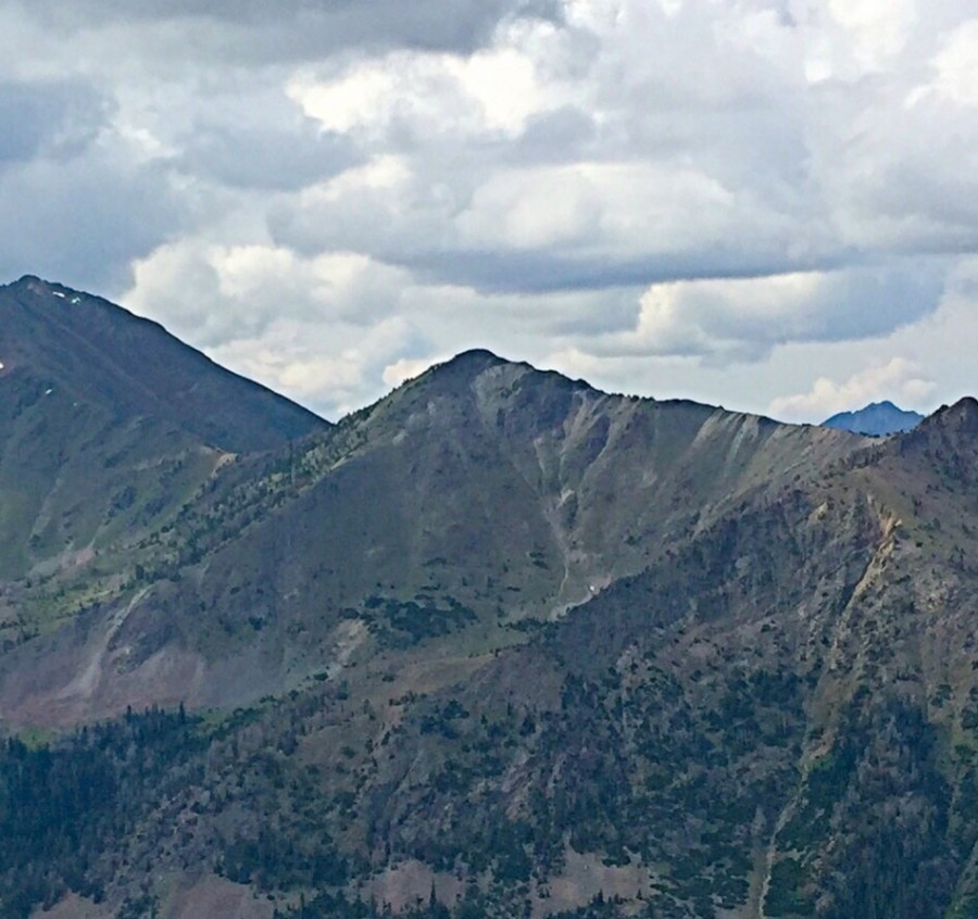
The summit of Peak 10536 with Atlas Peak in the background. Steve Mandella Photo
Steve Mandella, Margo Mandella, and Bruce Dunham climbed Peak 10536 and Atlas Peak together as a loop route. Read about their route using this link.
Western Approach, Class 2+
Using the ascent of Peak 11536 (described on the loop route page) and descending the same route would be a steep climb with good footing. If you climb the outcrops versus skirting them, the climb might be considered a low Class 3.
Additional Resources
Regions: EASTERN IDAHO->Pioneer Mountains
Mountain Range: Pioneer Mountains
Longitude: -113.87939 Latitude: 43.73669