Elevation: 10,585 ft
Prominence: 1,095
Climbing and access information for this peak is on Page 244 of the book. Updated January 2019
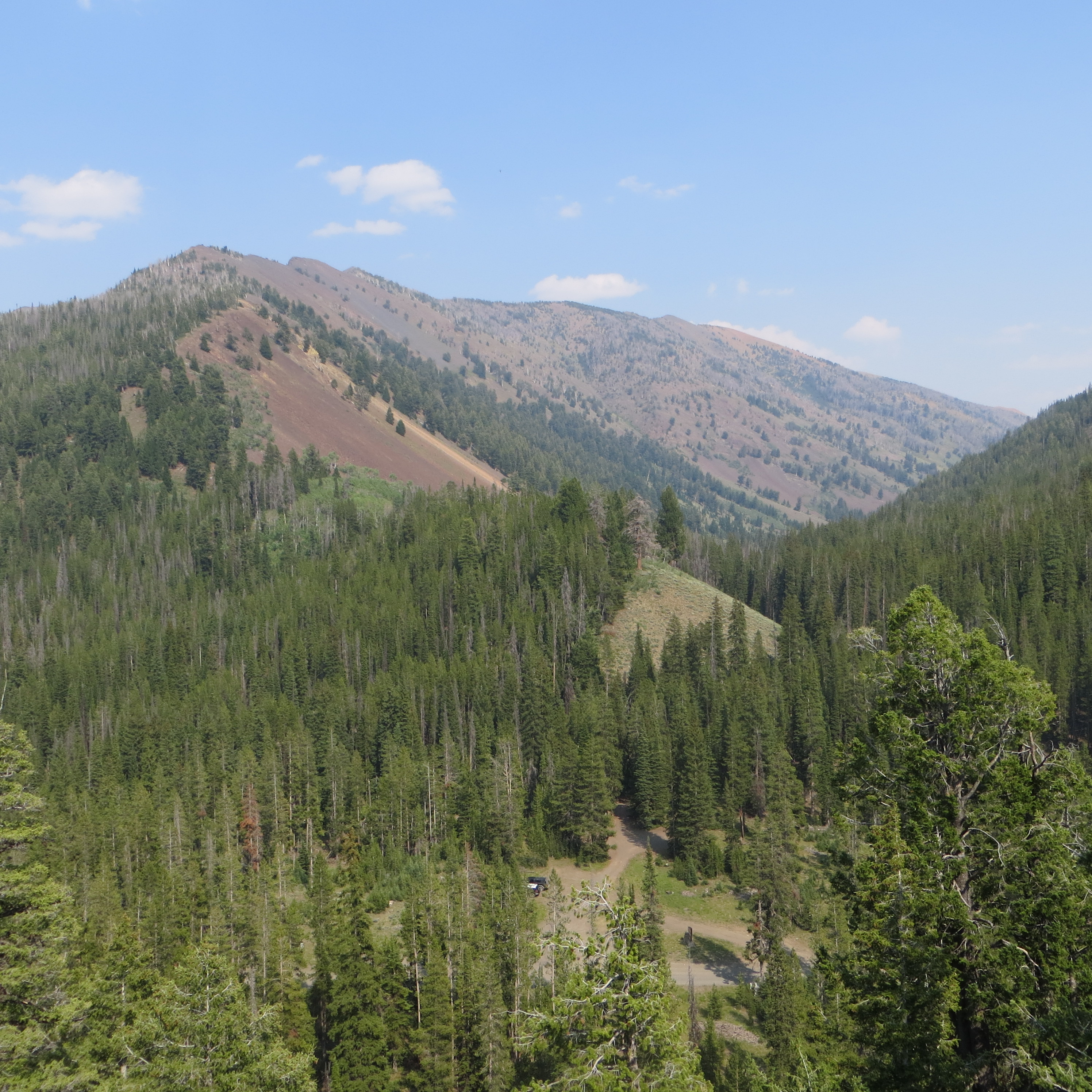
Summit Creek Peak is located above the southeast fork of Summit Creek, near Trail Creek Summit, in the Pioneer Mountains. It is a ranked peak and is often climbed with an ascent of Phi Kappa Mountain. USGS Phi Kappa Mountain
Summit Creek Peak. Dan Robbins Photo
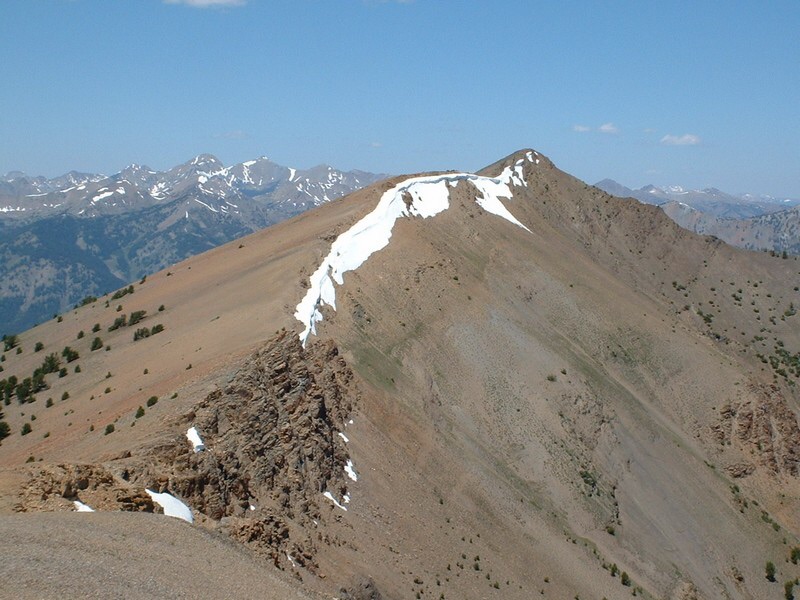
Summit Creek Peak as viewed from the summit of Peak 8832. Steve Mandella Photo
Access
Take Trail Creek Road either from US-93 to the east or from Sun Valley to the southwest, to the marked Trail Creek Summit. There is a parking area on the southeast side of the pass. This is the parking area for the Summit Creek Trail/FST-053 [(A)(3)(a) on Page 258].
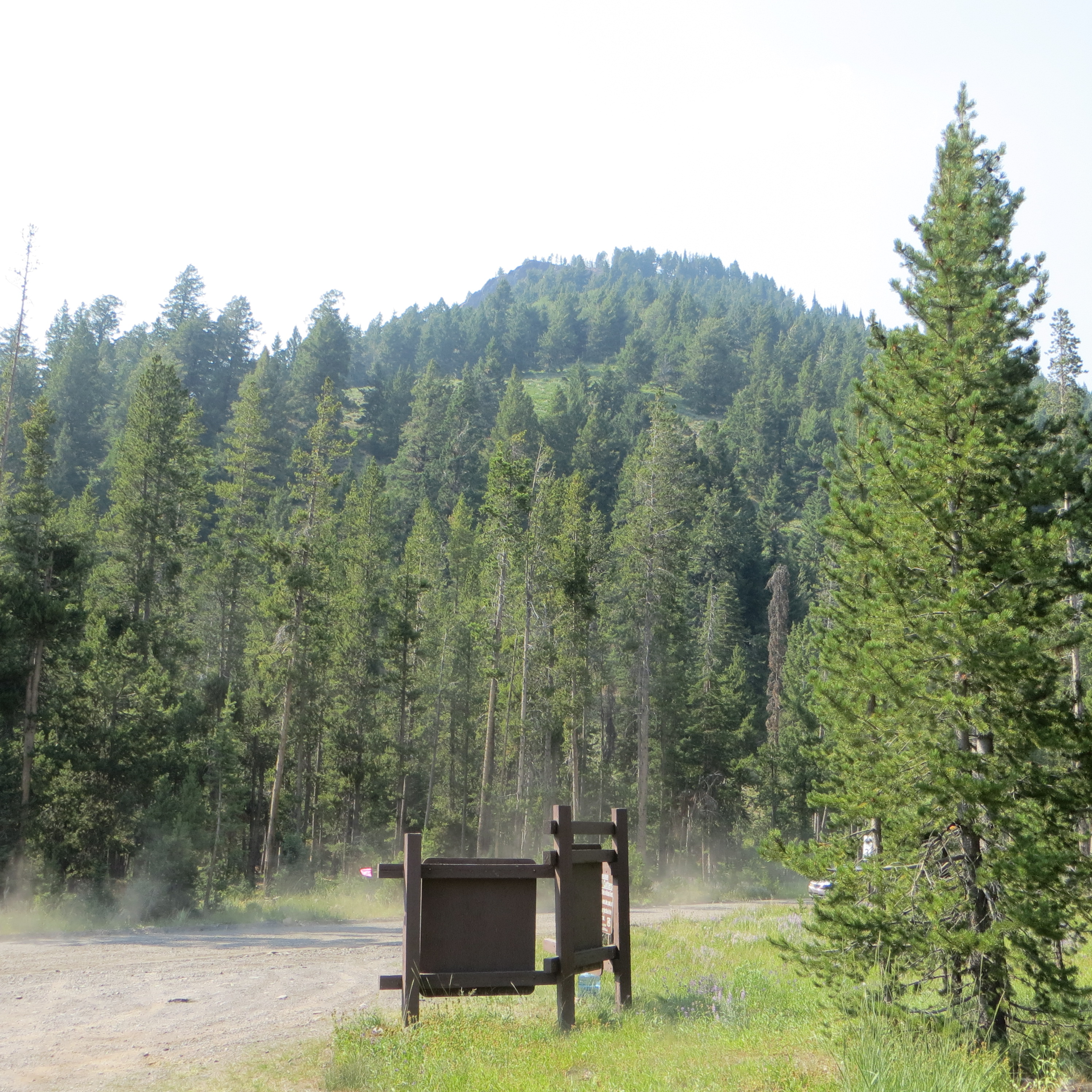
The Trail Creek Summit parking area. Steve Mandella Photo
Southeast Ridge Ascent, Southwest Face Descent Route, Class 2+
From the parking area, follow the Summit Creek Trail/FST-053 heading southeast. Take the trail as it parallels the southeast fork of Summit Creek all the way to the pass between Phi Kappa Mountain and Peak 10860.
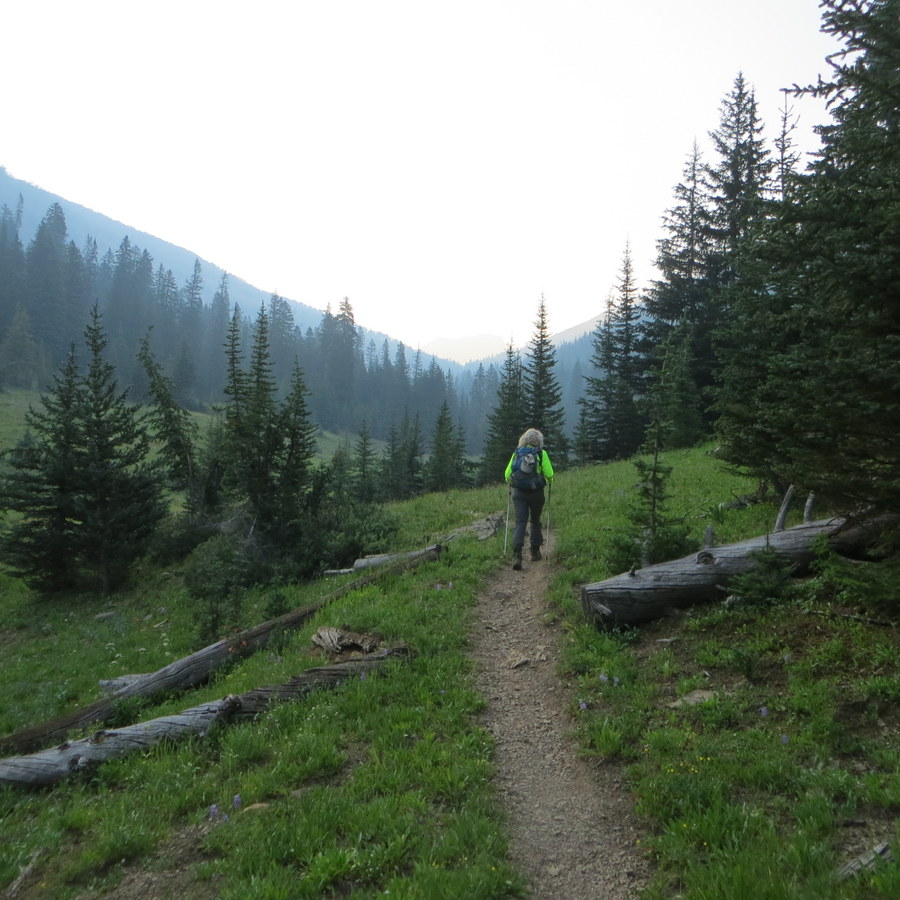
The well-beaten Summit Creek Trail. Steve Mandella Photo
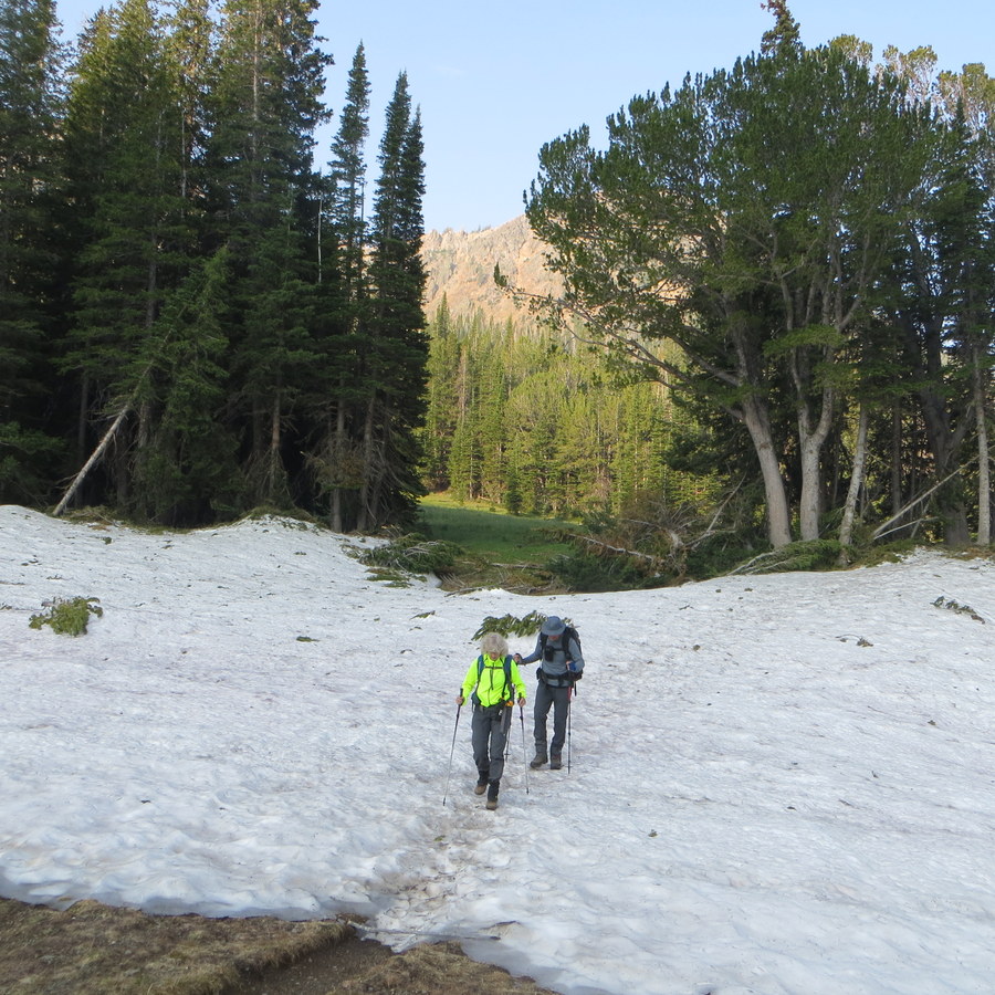
An August snow patch across the trail. Steve Mandella Photo
Leave the trail here and follow the Southeast Ridge, traveling northwest, toward the summit of Phi Kappa Mountain. Since you will be so close to Phi Kappa’s summit, bag it and take in the views. Continue traveling northwest along the ridge to the summit of Summit Creek Peak. It’s easy to travel along the ridge and the summit is marked with a cairn.
From the summit, take note of the Southwest Face of Summit Creek Peak. It may look a little imposing, but if you enjoy scree skiing, definitely take this face down. At the base of the face, you must cross Summit Creek. Depending on the time of year, this may be a challenge. There are no bridges but there are doable crossing spots because of deadfall. When you regain the trail, follow it northwest down to the parking lot.
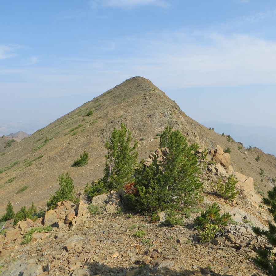
The final approach to the summit of Summit Creek Peak. Steve Mandella Photo
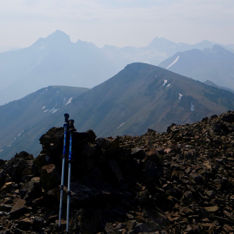
The summit cairn atop Summit Creek Peak, seen through wildfire smoke. The Devil’s Bedstead, from east to west, is in the background. Steve Mandella Photo
If you don’t want to descend the face, backtrack the ridge southeast to the pass. Find the trail where you left it and hike back down to the parking area.
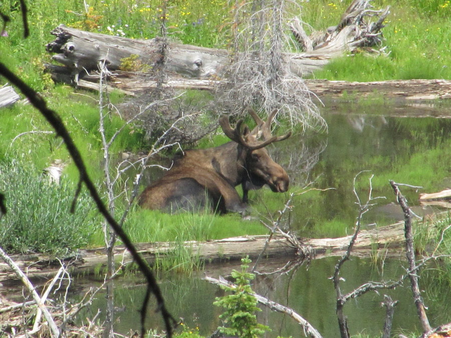
A bull moose in Summit Creek. Steve Mandella Photo
Margo Mandella provided her GPS track from her, Steve’s, and Bruce Dunham’s 2017 ascent. Note the position of the North arrow. Additionally, the track is in yellow. The blue line is the boundary between Custer and Blaine counties. Their trip stats: 8.79 miles with 2,900 feet elevation gain.
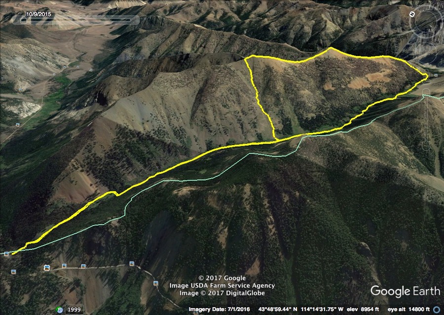
Phi Kappa Mountain and Summit Creek Peak. Margo Mandella’s GPS track.
Additional Resources
Regions: EASTERN IDAHO->Pioneer Mountains
Mountain Range: Pioneer Mountains
Year Climbed: 1989
Longitude: -114.21789 Latitude: 43.82189