Elevation: 10,648 ft
Prominence: 388

This peak is not in the book.
There are 16 ranked summits on the Massacre Mountain quadrangle. Peak 10648 may be the least known of the bunch. It is located above Long Lost Creek, due west of Massacre Mountain, and south of Ferguson Peak. Rick Baugher is probably the first person to climb this peak. USGS Massacre Mountain
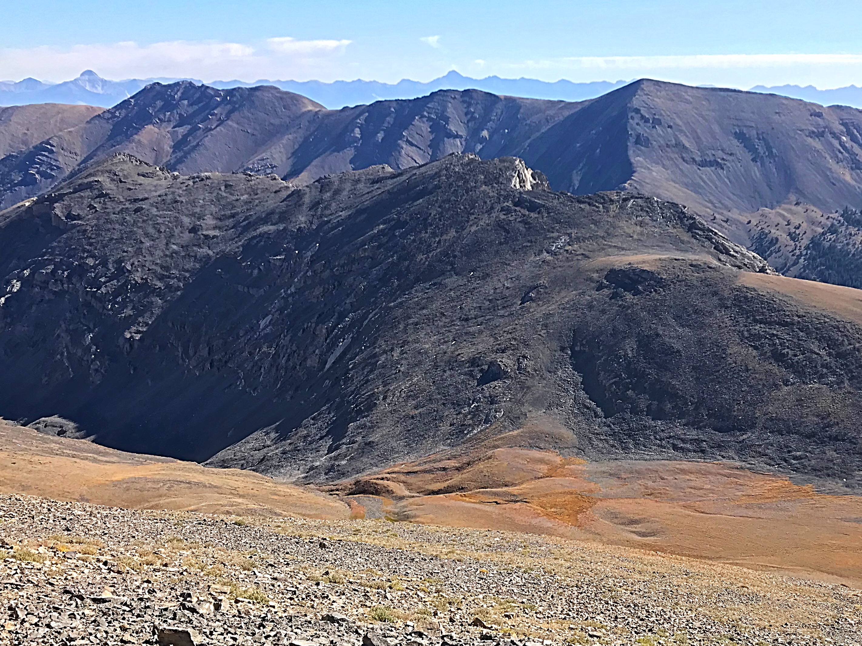
Peak 10648 in the foreground as viewed from the Southeast Ridge of Ferguson Peak. It blends into Massacre Mountain.
Access
This peak is best reached from Long Lost Creek [(A)(6.1.1)(a) on Page 290] and updated at this link: [(6.1.1) FS-434, Long Lost Creek Road].
South Ridge from Swauger Lake Trail, Class 2
The South Ridge is most easily reached from Swauger Lake Trail. Follow the Swauger Lake Trail to the saddle above the lake. From the saddle, climb southwest to the 10,200-foot saddle on the peak’s South Ridge. Follow the talus-covered ridge to the summit.
South Gully/South Ridge Route, Class 2+
Hike up Long Lost Creek from the road end to roughly 8,600 feet. Turn west and climb the large gully that climbs up to saddle on the peak’s South End. This gully bypasses the cliffs that make up the peak’s Southeast Face. Climb this side canyon to 10,260 feet and then climb east to the summit. Use the link below to read Rick Baugher’s trip report.
Additional Resources
Regions: EASTERN IDAHO->Lost River Range
Mountain Range: Lost River Range
First Ascent Information:
- First Ascent Year: 2007
- Season: Spring
- Route: Southeast Face
- Party: Rick Baugher
Longitude: -113.58009 Latitude: 44.06039