Elevation: 4,602 ft
Prominence: 302
This peak is not in the book. Published April 2021
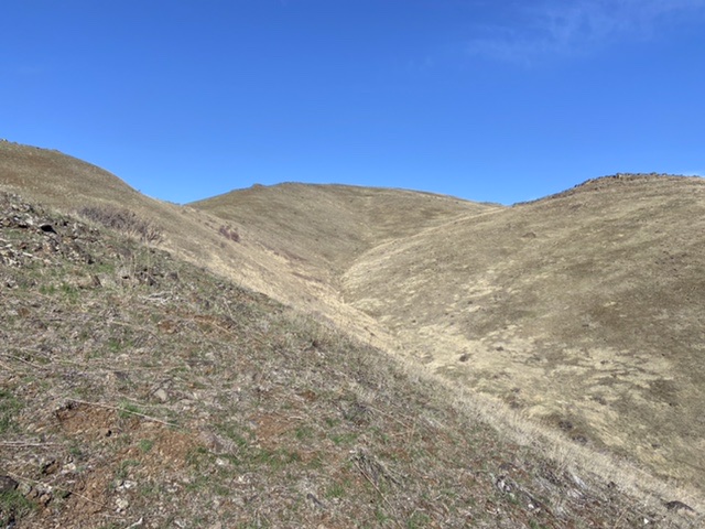
Sweet Butte is located northeast of Squaw Butte and north-northwest of Sweet, Idaho. This peak is the high point on a steep ridge that climbs from the valley to the impressive ridge system that includes Squaw Butte to the south and Cherry Creek Benchmark to the north. Sweet Butte sits just east of the main ridge crest. Big Cottonwood Creek flanks the ridge’s south side and Webb Creek is on its north side. The views of the West Mountains from the top are expansive. The peak and the route are located on a sliver of public land that forms a corridor allowing access to the summit. USGS Webb Creek
Sweet Butte
Access
This peak is accessed from the Sweet-Ola Highway. Google Maps gets you to Sweet, Idaho. There is a yellow blinking light in the center of Sweet. Set your odometer to 0.0 as you drive under the light heading north. At 5.5 miles, there is a large pullout on the right/east side of the highway. Park here.
East Ridge, Class 2
From the parking spot, cross the highway and climb over the highway border fence. From this point, the route climbs the steep slope to the top of the hill that forms the toe of the east ridge. The complete east ridge route is visible from the top of this first leg of the climb. Descend off this hill and cross a broad saddle, aiming for the fence line on the far side of the saddle. The fence system forms a “T.” The top of the “T” runs north to south. The other leg climbs the east ridge. The leg up the ridge divides public land (north side) from private land (south side). When you reach the fence line, there are two gates. Go through the the gate on the north/right side. Follow the fence line up the ridge to the summit.
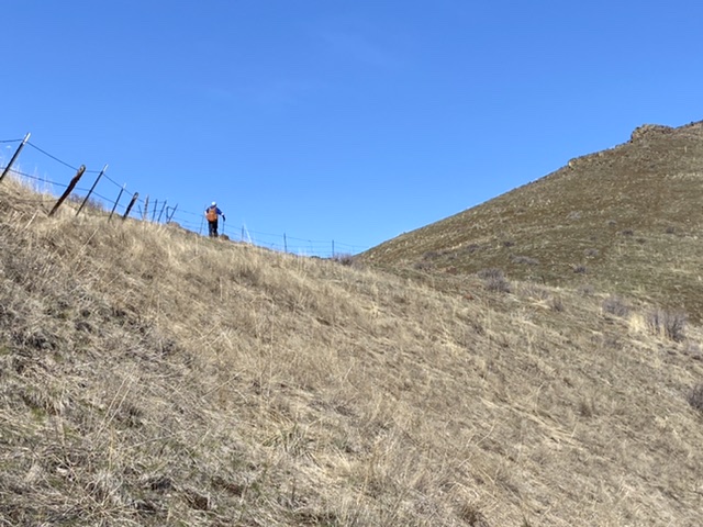
Jason Floyd following the fence line. The footing is, for the most part, good.
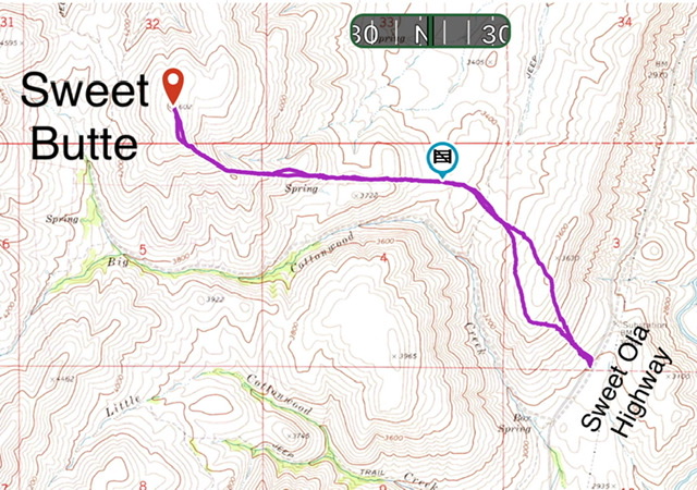
My GPS track measured 4.7 miles round trip with 1,679 feet of elevation gain. Jason Floyd recorded slightly higher numbers.
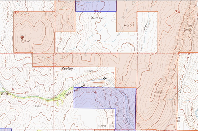
The land ownership pattern around Sweet Butte. Tan is BLM. Blue is State of Idaho. White is private.
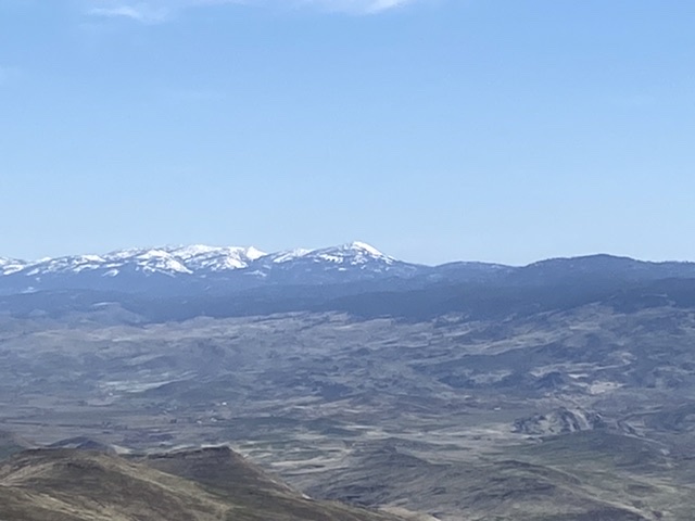
The view toward Squaw Butte
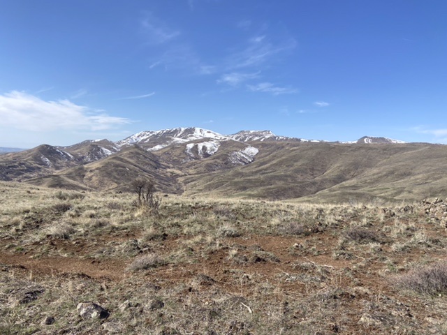
The view to the main West Mountains Crest
Additional Resources
Regions: West Mountains->WESTERN IDAHO
Mountain Range: West Mountains
Year Climbed: 2021
Longitude: -116.36129 Latitude: 44.06779