Elevation: 5,260 ft
Prominence: 409
This peak is not in the book. The original information was provided by Eric Pohlmann who proposed the name Willowdale Peak. The 2019 update is based on my climb. Additional Danskin Mountains access information is in the book [(D)(1) on Pages 154-155 and (G)(1) on Page 156]. Also see the following website page: Danskin Mountains OHV Trails. USGS Long Tom Reservoir. Updated May 2019
Willowdale Peak by Eric Pohlmann
This peak is located due north of Long Tom Reservoir and is centrally located in the southern half of the Danskin Mountains, an area characterized by flats. It happens to be surrounded by both flats and higher peaks, which gives it somewhat of a more enclosed feel than its neighbors, but lends by far the best views of Long Tom Reservoir. Its geology reminds you of the nearby but much larger Long Tom Benchmark. Both peaks resemble shelves slowly rising out of the east, and then abruptly terminate into west-facing bluffs which make for fun scrambling. There is private property in the area so watch your step. Routes are relatively short. The best access can be found by parking at Long Tom Reservoir. Then simply pick your way up the fun west-facing bluffs to the summit.
Willowdale Peak as viewed from the southeast. Eric Pohlmann Photo
Willowdale Peak by Tom Lopez
Willowdale Peak is located north of Long Tom Reservoir. The peak is composed of a massive hump-shaped, southeast-to-northwest trending ridge which divides the West Fork Long Tom Creek and Willowdale Creek. While the peak can be climbed from almost any direction, private property limits legal access to the peak’s Southeast Side.
Access
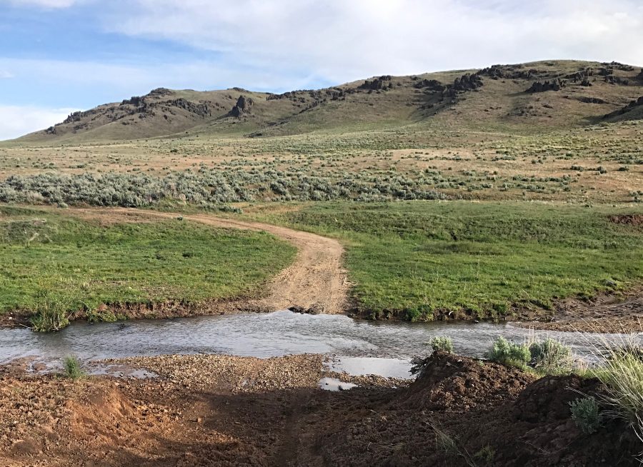
Turn north off of US-20 onto Pony Creek Road/Prairie Road [(E)(1) on Page 155]. Follow this good gravel road north for 3.6 miles. Turn west onto the unsigned Long Tom Reservoir Road. There is a lot of parking available at this junction. From the parking area, the road fords Long Tom Creek and quickly deteriorates. A 4WD is recommended. Continue west for 0.7 miles and park. Note that soon after this point, the road crosses private property.
Southwest Face/Summit Ridge, Class 2
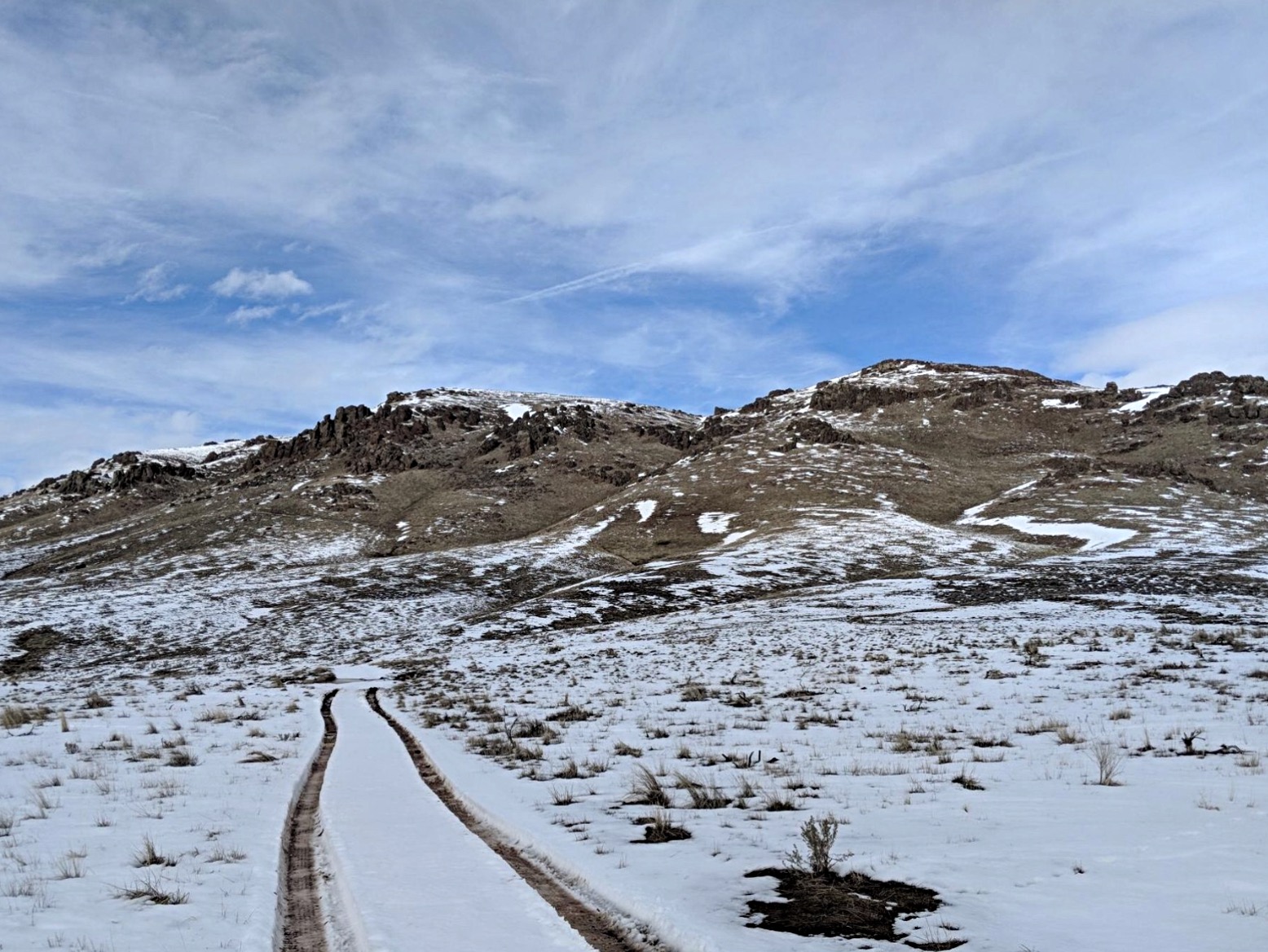
There are many possible lines up the Southwest Face. The route shown on the GPS track seemed to be the most efficient. From the parking spot, head due north to a range fence. Scoot under the fence and then climb up the gully west of the large rock outcrop on the left. Once above the rocks, turn west and continue climbing to the northwest toward the next gully. You will soon find a game trail that will take you under a short cliff. Once past the cliff, the route moderates and quickly brings you to the top of the broad summit ridge. Continue northwest to the summit. My GPS measured the route as 2.6 miles with 649 feet of elevation gain round trip.

The Southwest Face of Willowdale Peak as viewed from the Long Tom Reservoir Road ford.
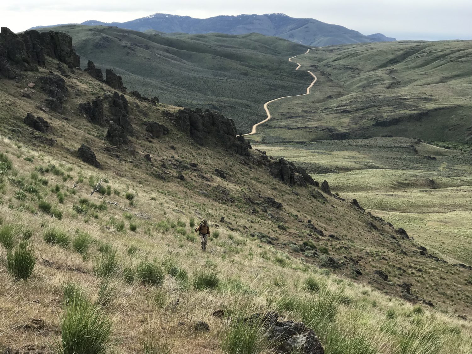
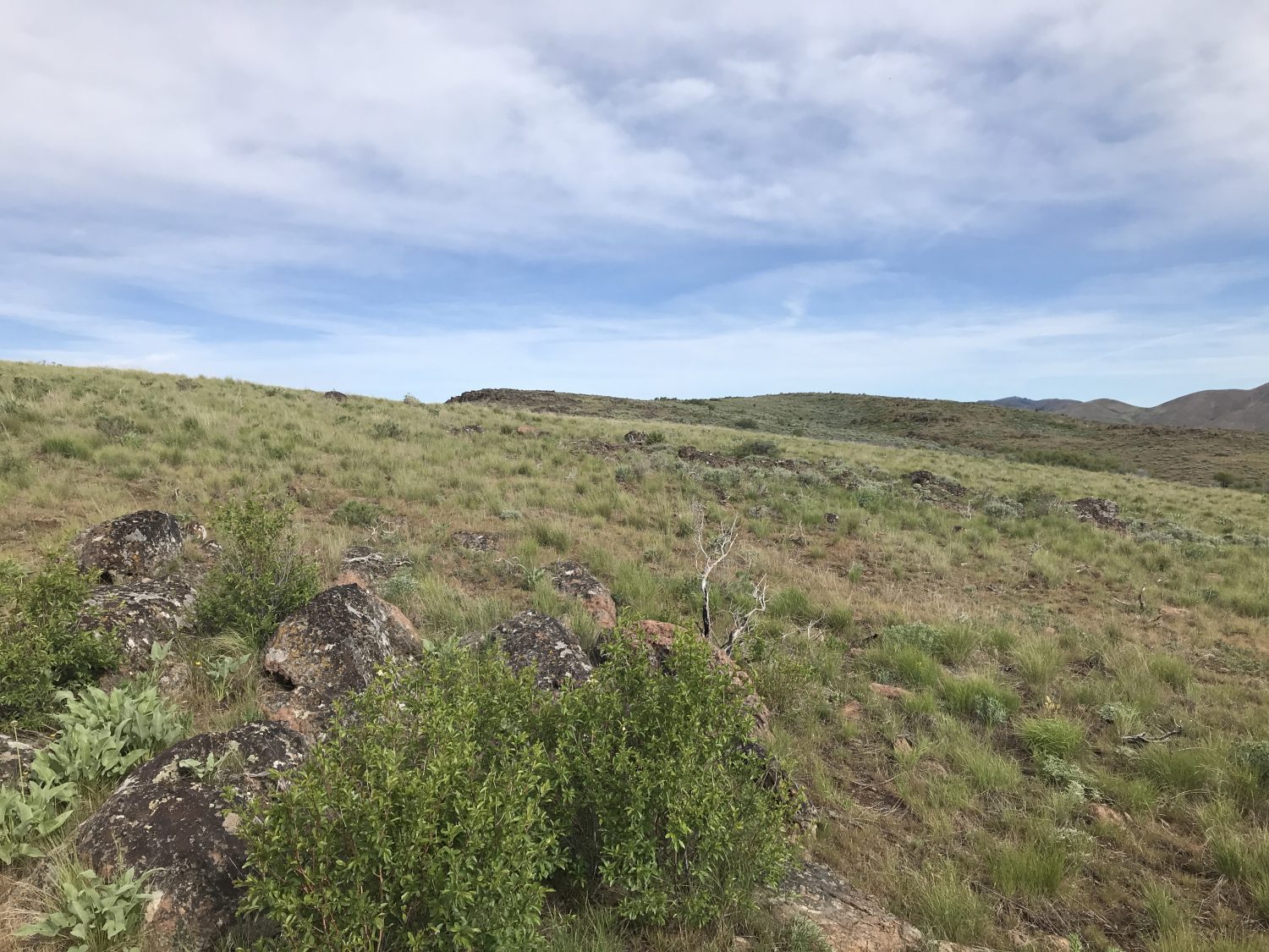
Looking down the route from about 4,900 feet. The Pony Creek Road/Prairie Road forms the ribbon in the background. The big peak on the horizon is Bennett Mountain.
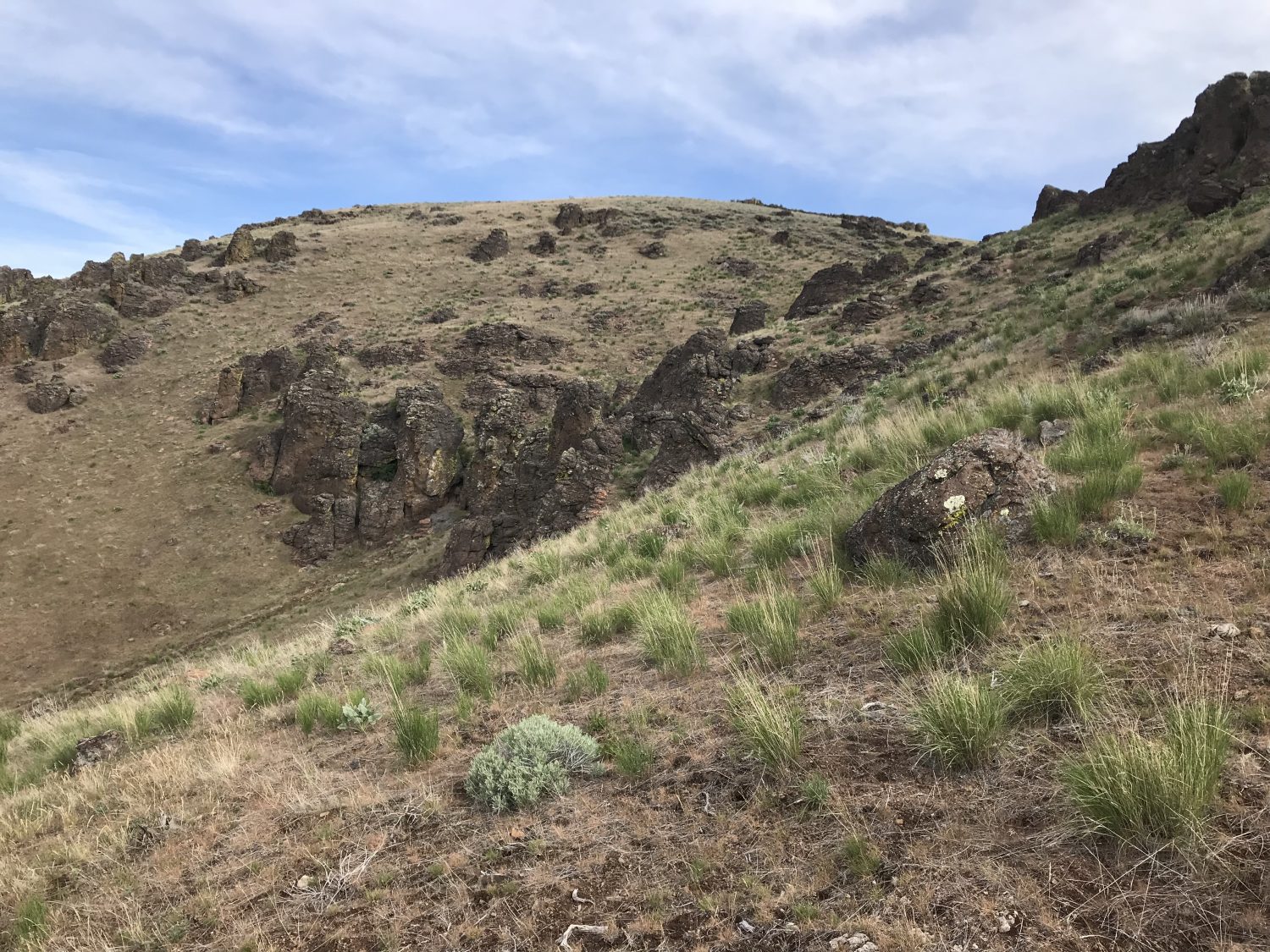
Looking up the route from roughly 4,900 feet. The route angles up to the gap on the right side of this photo.
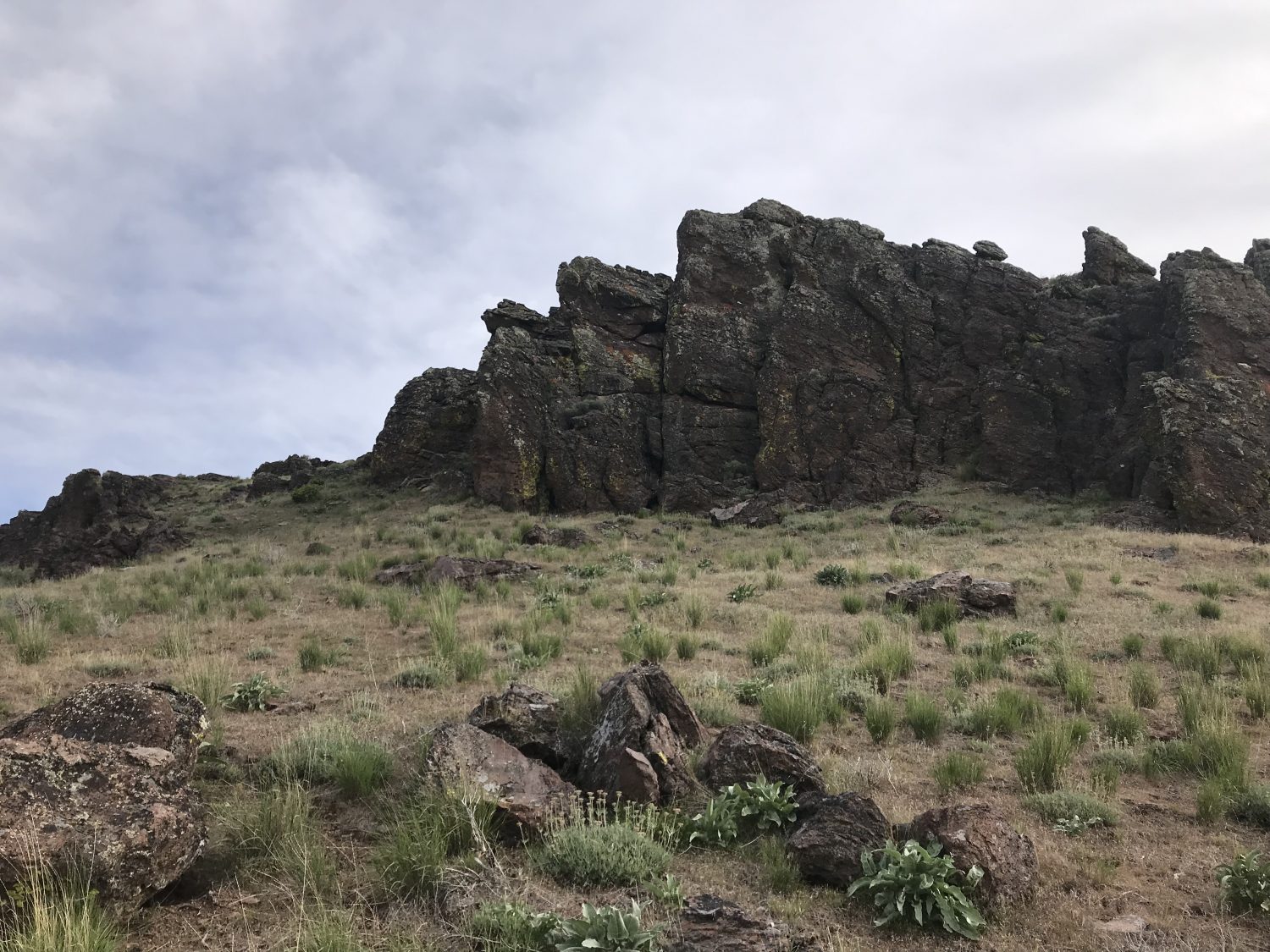
The game trail passes this cliff section on the left.
The top of the summit ridge looking northwest.
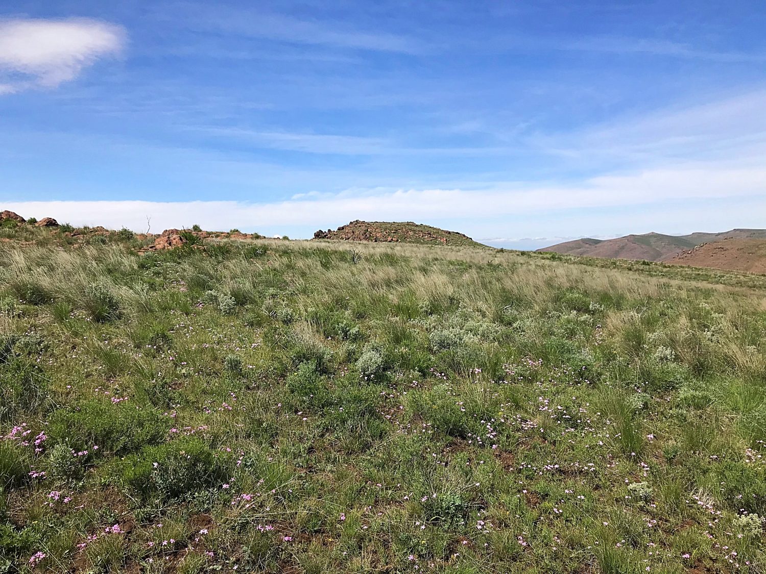
The summit at the culmination of the broad summit ridge.
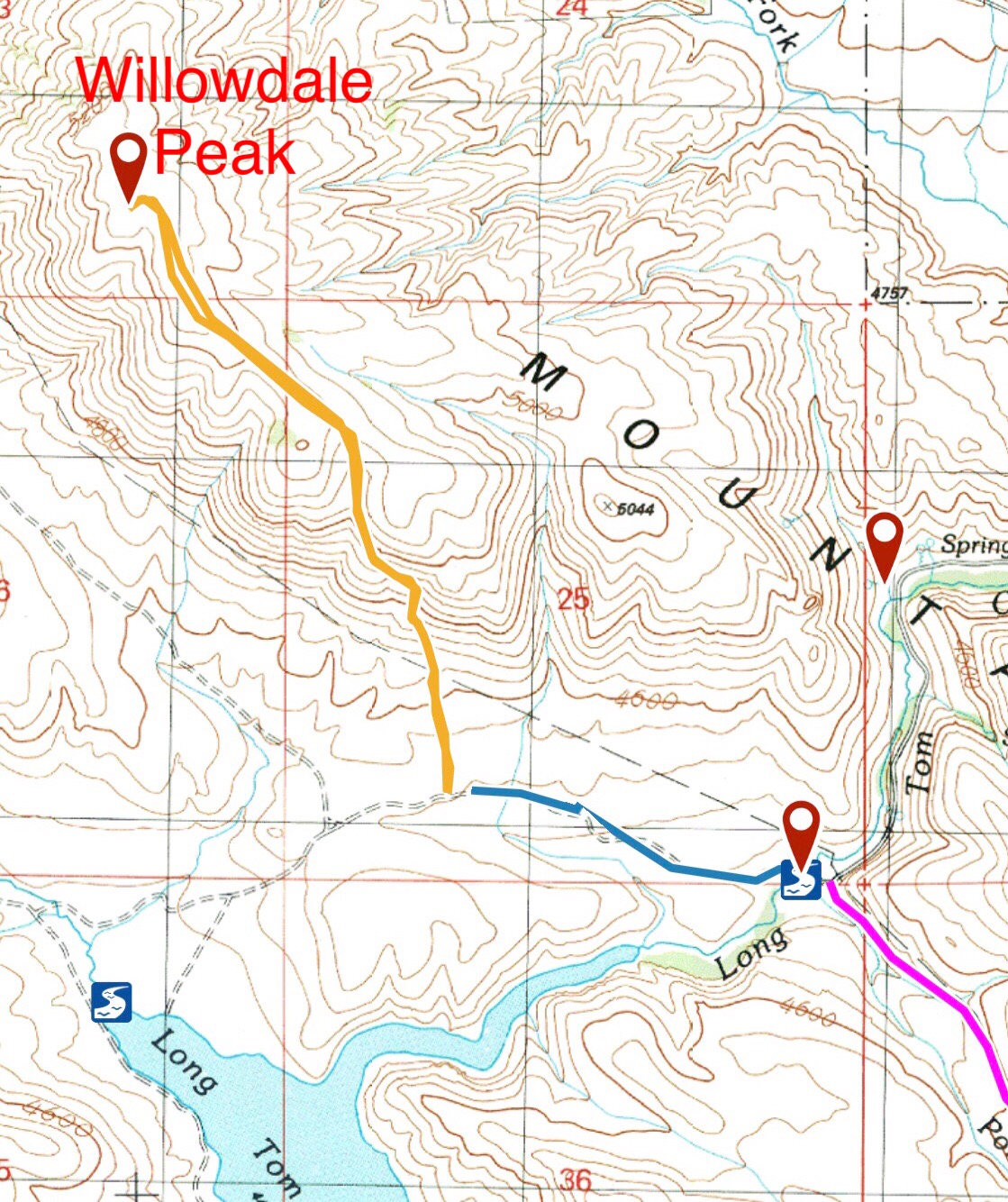
My GPS track. Pony Creek Road/Prairie Road (pink line), Long Tom Reservoir Road (blue line), and the hiking route (gold line).
Additional Resources
Regions: Boise Mountains->Danskin Mountains->WESTERN IDAHO
Mountain Range: Boise Mountains
Year Climbed: 2019
Longitude: -115.58429 Latitude: 43.31639