Elevation: 6,361 ft
Prominence: 301
This peak is not in the book. Livingston Douglas provides more detailed access and information as well as photos. Updated November 2020
Peak 6361 and its popular Pocatello Mountain Range neighbor, Chinese Peak, rise up over east Pocatello and can be reached by various routes that cross over its summit. The two most popular are the ATV track that links it with Chinese Peak and the road system that follows Blackrock Canyon to the saddle between it and Chinese Peak. Both routes are used by runners and mountain bikers. USGS Inkom
From Chinese Peak, descend down a steep ATV track (losing 700 vertical feet) then climb up an equally-steep track gaining 300 vertical feet. Use this link to see a BLM map of the trail system: BLM Chinese Peak Blackrock Canyon Trail System. Class 1
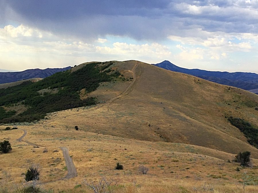
Peak 6361 as viewed from Chinese Peak.
Livingston Douglas Update
Access
Drive 1.7 miles up [signed] Blackrock Road from its junction with old Highway 91 just south of Portneuf, ID to reach the lower Blackrock Canyon trailhead parking area. Park here (4,745 feet).
Southeast Ridge, Class 1
The Climb
This is a hike entirely on BLM trails. Please consult the excellent BLM map for this area if deciding to do this hike (The Chinese Peak/Blackrock Trail System Map). From the trailhead parking area, follow BLM #3112A/3112 to a trail junction (this trail is initially unsigned). Go left onto BLM #301 and continue to another trail junction. Go left onto BLM #3111. Continue hiking to a final trail junction and go right onto BLM #3110 and follow it to the summit.
The bare summit offers outstanding views of Pocatello and Chinese Peak. The summit had no cairn so I built a nice one atop the ground boulder that is the high point. All of the trail junctions are clearly marked and they are all ATV trails and can be a bit muddy. Please note that the USGS map shows all of the ATV trails except for the final ATV trail that leads to the summit. For whatever reason, the USGS map is missing that critical one. Round trip stats: 4.5 miles with 1,625 feet of elevation gain.
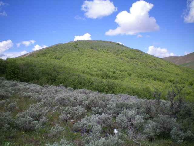
Peak 6361 is a gentle hump when viewed from high on the southeast ridge. Livingston Douglas Photo
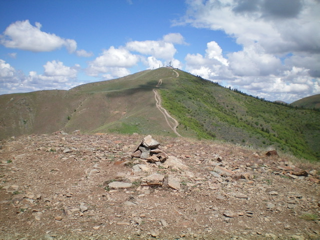
The summit cairn atop Peak 6361 with Chinese Peak in the background. Livingston Douglas Photo
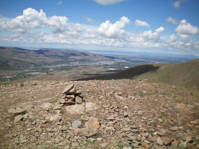
The summit area of Peak 6361 with the City of Pocatello in the distance. Livingston Douglas Photo
Additional Resources
Regions: Pocatello Range->Portneuf Range->SOUTHERN IDAHO
Mountain Range: Pocatello Range
Year Climbed: 2016
Longitude: -112.35709 Latitude: 42.83419