Elevation: 7,060 ft
Prominence: 534
This peak is not in the book.
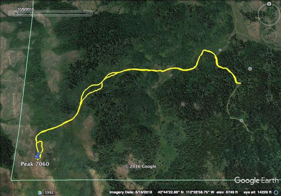
Peak 7060 is located south of the city of Pocatello, approximately 2.5 miles south of Rock Knoll in the Bannock Range. The peak lies in Bannock County although its western base touches the Power County Line. USGS Clifton Creek
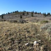
The Forest Service/Westside Ranger District Road takes you within 2 miles of the peak, and the entire hike is approximately 3.7 miles round trip. The peak is not very prominent so study your map/route carefully. Because this is a short, easy climb, we paired this peak with Peak 8037 and made it out before dark. A [closer] second peak option would be Peak 6472, which is just off the Bannock Highway and is reached by the West Fork Mink Creek Trail. Peak 7060 was not visible from the Bannock Highway, but it may be visible from Arbon Valley. We will try to get a photo from that aspect in the future.
Northeast Route, Class 2
We climbed this peak in early November before the road was seasonally closed and found it well-driven but very rutted in places, which made our high-clearance, 4-wheel drive vehicle a necessity.
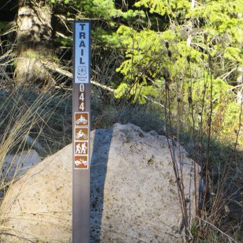
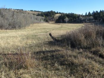
From the Bannock Highway, turn north on FS-006. The Westside Ranger District indicates that this road is “suitable for high-clearance vehicles.” Take FS-006 to where it ends at a small parking area. Begin your hike on FST-044. Hike down a short hill and, at the base of the hill, head off-trail to enter a meadow area. Look for Peak 7060 to the southwest.
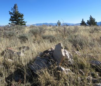
Most of the hike can be done on an existing trail until it disappears. Continue off-trail and head toward the peak. A short climb brings you to the summit area. This area is relativity large and flat and, even with a GPS, the “highest point” was difficult to locate. There is no summit marker but this pile of rocks sufficed for our summit photo.
Enjoy views of the Portneuf, Bannock, and Deep Creek Range peaks, Arbon Valley, American Falls Reservoir and the Snake River Plain from the summit.
Family Options
This peak may be a good summit option for younger kids who like to hike. First, there’s the 4WD travel adventure to get to the trailhead. Then, when you reach the meadow area, you can teach compass/GPS navigation skills to identify the peak. The faint trail that is there most of the way is relatively flat until you reach the base of the peak, and the climb to the summit is short. The summit area has great views and is the perfect spot for a picnic.
This peak lies within a motorized use area, but most users will be on the north side of the meadow. Even so, for a more “wilderness-like” experience for your kids, head out early on a weekday morning. There is little to no shade on the peak, and there is no available water on the hike. For kids, it is probably best climbed in early Summer, once the area snow melts. It would be particularly beautiful in the Fall, when the aspens are in full color.
Additional Resources
Regions: Bannock Range->SOUTHERN IDAHO
Mountain Range: Bannock Range
Longitude: -112.49409 Latitude: 42.73449
