Elevation: 7,695 ft
Prominence: 515
This peak is not in the book. Livingston Douglas added a new route and additional photos to this entry. Updated October 2025
Peak 7695 is the second highest summit in the Samaria Mountains. It is located due west of Samaria Mountain. USGS Grover Canyon
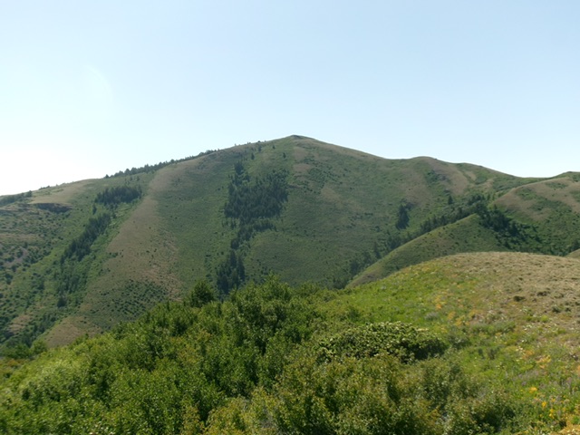
Peak 7695 as viewed from Peak 6913 to its west and across Mine Canyon. Livingston Douglas Photo
Access
BLM-614 is the primary access to this peak. See the Samaria Mountains and Samaria Mountain pages for detailed access information.
West Ridge, Class 2
While this peak can be climbed directly from BLM-614 via its east ridge, the shortest route is to drive the 4WD road that leads from BLM-614 to the top of the peak’s west ridge. In either case, you must cross the range fence on the ridge crest. Once you have crossed the fence, the summit is only three minutes away.
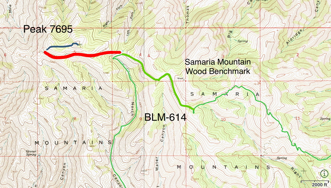
The red line is a 4WD road that leads from BLM-614 to the west ridge of Peak 7695. The blue line shows the 3-minute walk to the summit
East Ridge, Class 2 by Livingston Douglas
The Climb
From the signed junction of North Canyon Road/BLM-618 and BLM-101 at the base of the east ridge, cross to the right/north side of a fence row and follow the fence row west briefly to reach the crest of the east ridge. Leave the fence row (which crosses the south face of Peak 7695) and scramble northwest then west up the east ridge. The sagebrush and other veg is thick initially but the ridge crest isn’t too bad. The ridge weaves a bit before reaching the open summit. There is a modest cairn on top and triangulation posts lay on the ground nearby.
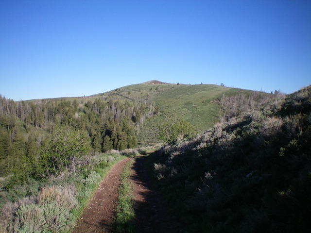
Peak 7695 as viewed from Gardner Canyon Road to its east. Livingston Douglas Photo
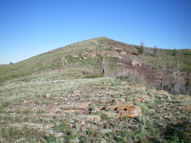
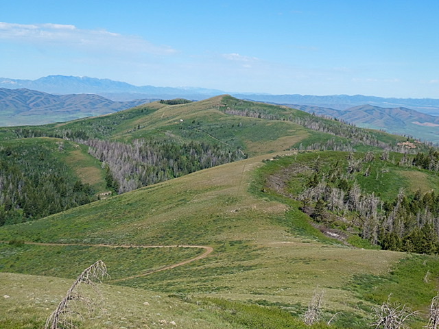
The final push up the east ridge to the summit of Peak 7695. Livingston Douglas Photo
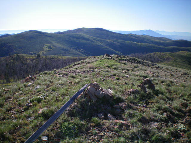
The summit cairn atop Peak 7695 with Samaria Mountain in the distance (dead center). Livingston Douglas Photo
Additional Resources
Regions: Bannock Range->Samaria Mountains->SOUTHERN IDAHO
Mountain Range: Bannock Range
Year Climbed: 2020
Longitude: -112.39369 Latitude: 42.06601