Elevation: 7,843 ft
Prominence: 363
This peak is not in the book. Published January 2023
Peak 7843 is a hidden summit that is located on the west side of Burnt Canyon just up from Mike Spencer Canyon to the north. This is the third leg of a 3-peak adventure that includes Ross Peak, Peak 8191, and Peak 7843. This journey covers 10.2 miles with 3,325 feet of elevation gain round trip. USGS Stouts Mountain
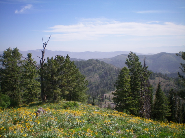
Peak 7843 (dead center in mid-ground) as viewed from the south. Livingston Douglas Photo
Access
Same as for Ross Peak. This is the final leg of a 3-peak journey.
South Ridge, Class 2
The Climb
From the 7,480-foot connecting saddle, scramble northeast up through veg in a forest of scattered pines to reach the more open, easier veg of the south ridge. Head left-ish/north along the ridge and descend 25-30 vertical feet to a forested saddle. Continue north in a final uphill push on short scrub with broken scree, often on the right/east side of the ridge crest to avoid the blowdown and tree-clogged ridge crest. The summit of Peak 7843 is a semi-open hump with a small cairn.
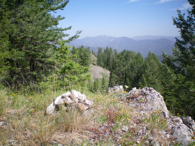
Looking northwest along the ridge crest from the summit of Peak 7843. Livingston Douglas Photo
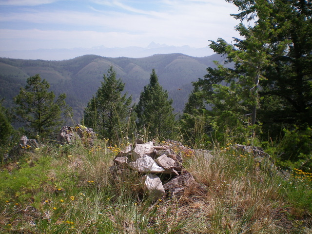
The summit cairn atop Peak 7843 with the Tetons in the hazy distance. Livingston Douglas Photo
East Shoulder, Class 2
The Descent
From the summit, descend east on a steep, semi-open shoulder that soon has rocky ridge outcrops and loose scree on its sides. Move into open, steep scrub (with blowdown in some areas) to slip and slide down the shoulder (or just right/south of it on face terrain), avoiding thicker veg as necessary. You will soon reach the [blessed] Burnt Canyon Trail. Cruise north down the narrow trail to the trailhead and your parked vehicle.
Additional Resources
Mountain Range: Big Hole and Snake River Mountains
Longitude: -111.28401 Latitude: 43.51401