Elevation: 8,072 ft
Prominence: 1,334
![The [lower] Southwest Summit (left) and Point 7967 (right) as viewed from the summit of Peak 8074. Livingston Douglas Photo](https://www.idahoaclimbingguide.com/wp-content/uploads/C4F0018F-D69D-4D09-B848-5937170C3C90-e1575818707218.jpeg)
This peak is not in the book. Published December 2019
Peak 8074 is the high point of a long ridgeline that separates Big Dry Canyon from Martin Canyon. The easiest ascent route is via a BLM trail from Muldoon Summit up to the Italian Spring area and a scramble up the southeast face. A long, more aesthetic route is the southwest ridge and makes for a good early-season, snow-free scramble. USGS Seamans Creek
![The [lower] Southwest Summit (left) and Point 7967 (right) as viewed from the summit of Peak 8074. Livingston Douglas Photo](https://www.idahoaclimbingguide.com/wp-content/uploads/C4F0018F-D69D-4D09-B848-5937170C3C90.jpeg)
The [lower] southwest summit (left of center) and Point 7967 (right) as viewed from the summit of Peak 8074. Livingston Douglas Photo
Northeast Ridge, Class 2
Access
Same as for the southeast ridge of Peak 8301. This route is the final leg of a ridge traverse from Vue Benchmark to Peak 8074.
The Climb
From the saddle at the head of Martin Canyon, follow a “revegetated” dozer line southeast up to a ridge. Once on the ridge, turn right/south and continue up a dozer line on the west side of the ridge crest to reach a saddle just southwest of Point 7515. The dozer line is quite overgrown with vegetation now and isn’t much better than the surrounding bushwhack. The underlying loose dirt/scree/gravel in the tracks of the dozer line is also a negative factor.
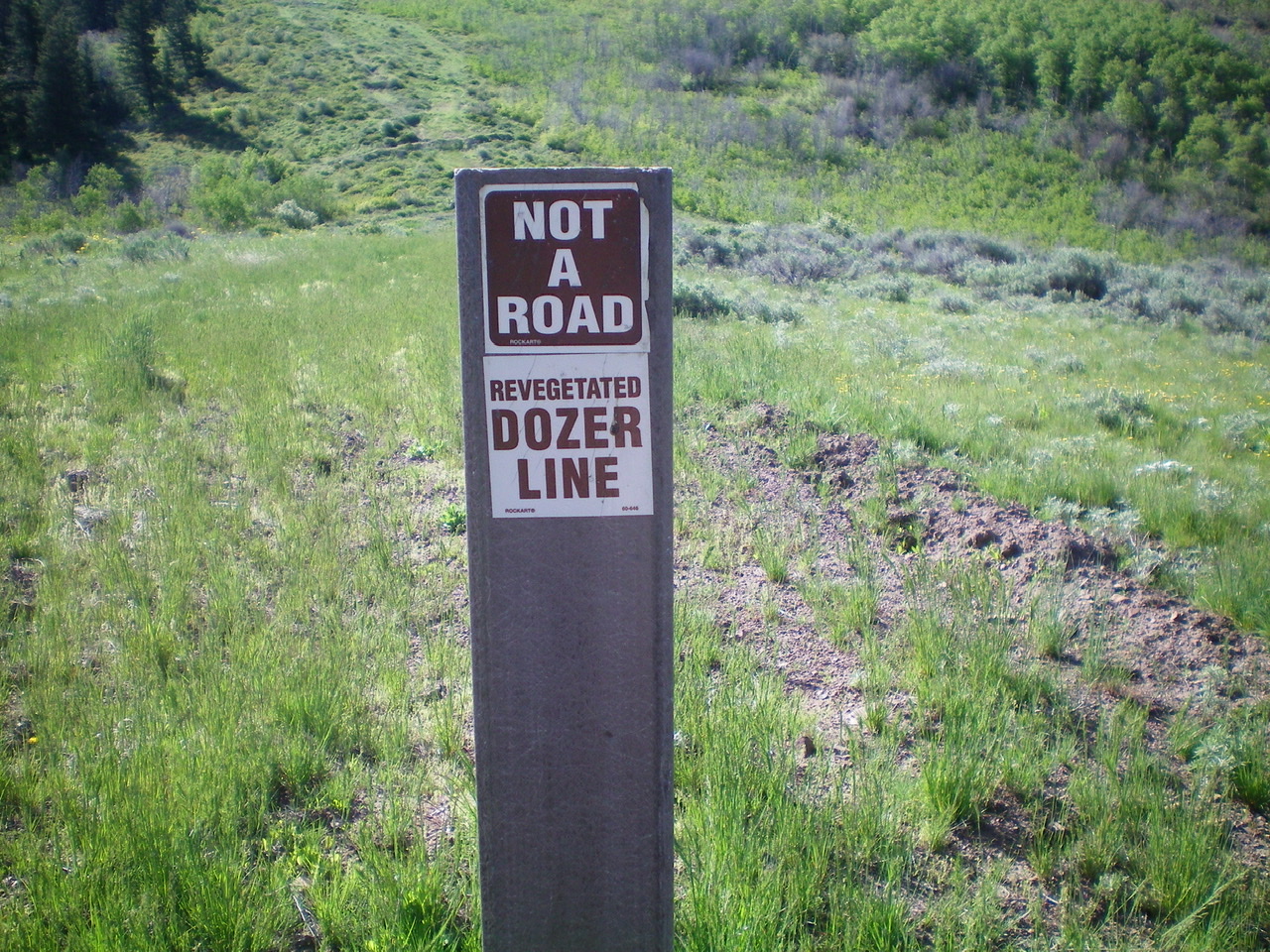
The BLM sign for the “Revegetated Dozer Line” which can be seen behind the sign. Livingston Douglas Photo
At some point here (or soon after), leave the overgrown dozer line as it moves off the ridge onto the left/southeast side of the ridge. The ridge crest terrain is actually MORE STABLE than the dozer line! Scramble up the open terrain of the ridge to reach the scrub/grass summit of Peak 8074. The summit had no cairn so I built one. The northeast summit measures five feet higher than the southeast summit (Point 8040+).
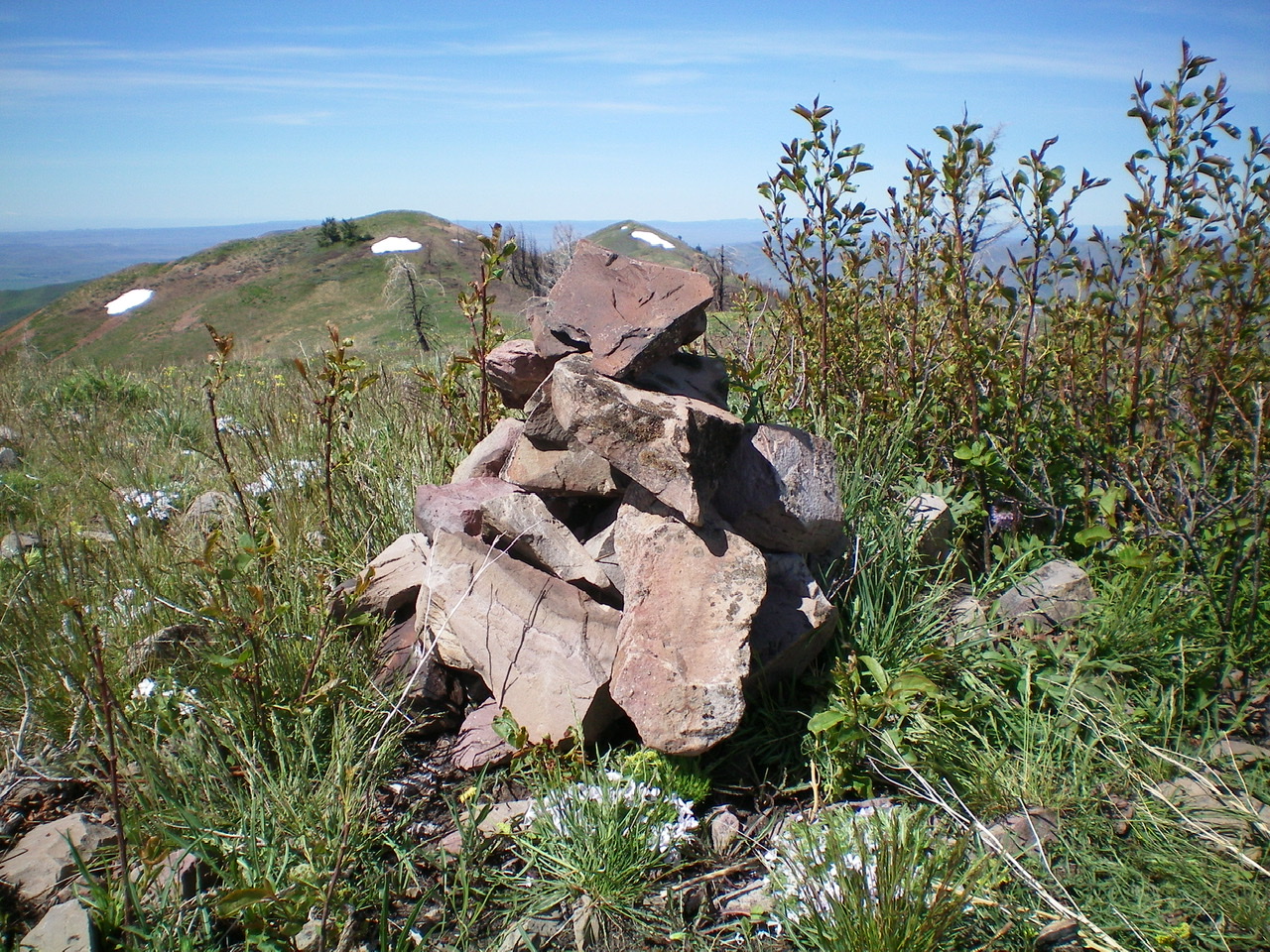
The newly-built summit cairn atop Peak 8074. Livingston Douglas Photo
Northwest Ridge, Class 2+
Access
Same as for the northeast ridge. This is the final leg of a loop route that begins and ends on Martin Canyon Road.
The Descent
From the northeast/true summit, descend a short distance southwest toward a saddle. Leave the ridge at 8,040 feet to descend (and find) the somewhat-elusive northeast ridge. To find it, stay to the right/northeast of an obvious gully. The ridge becomes well-defined pretty quickly after an ill-defined start. Follow the ridge crest down through a charred pine forest and make fast time down the steep, loose gravel, scree, and pine duff. The forest is much better than the nearby scree slopes.
Use elk trails in the forest to expedite the descent. The forest is mostly open with standing snags and there isn’t much downed timber to encumber you. The charred soil is somewhat slippery. Lower down, the forest has some live pine trees and the vegetation thickens and becomes somewhat tedious. Eventually, Martin Canyon Road appears below. Drop down to the road at a point just northeast and upstream from the base of the southeast ridge of Peak 8301. Once you reach the road, follow it down to your parking spot.
Additional Resources
Regions: EASTERN IDAHO->Pioneer Mountains
Mountain Range: Pioneer Mountains
Longitude: -114.16209 Latitude: 43.49319