Elevation: 8,382 ft
Prominence: 322
This peak is not in the book. Livingston Douglas added a new route to this entry. Updated November 2022
Basque Peak is located in the Sawtooth National Forest. The peak lies north and west of the main Soldier Mountains Crest on a long ridgeline that descends from Smoky Mountain to the South Fork Boise River. The peak can be climbed from any place along FS-010 (see below), which traverses the peak’s east and north slopes. USGS Sydney Butte
Access
From US-20 in Fairfield, Idaho, drive through downtown Fairfield to a three-way junction. Turn right on Baseline Road and drive 0.3 miles, then turn left onto Soldier Creek Road. Follow this paved road for 7.5 miles to the signed junction for Couch Summit Road. This well-maintained gravel road reaches Couch Summit in 4.3 miles. At this pass, turn left onto FS-010 and follow this well-maintained road for 4.6 miles to a large meadow that sits between Salt Creek Peak, Basque Peak, and Gora Euzkotarak Peak. From the meadow, continue on FS-010 to the south side of the peak. I should note that FS-010 is a surprisingly good road and, when dry, most passenger vehicles will be able to travel it.
West Ridge, Class 2
Climb the peak by following FS-010 to the point where it is just below a saddle on the peak’s west ridge. At this point, a closed road leads up to the saddle and then turns up the ridge to the summit. My ascent was 0.5 miles with 574 feet of elevation gain. I recommend climbing Salt Creek Peak and Gora Euzkotarak Peak in the same outing. Class 1+.
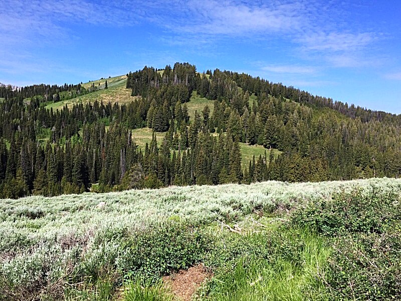
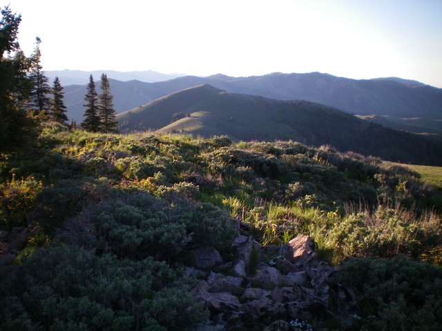
Basque Peak as viewed from the east
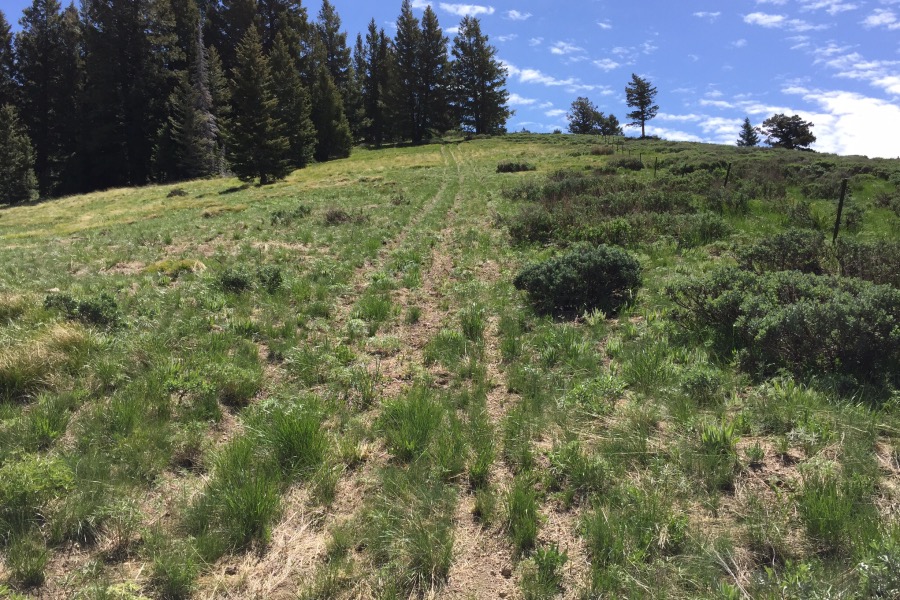
This old 2-track climbs up the west ridge to the summit
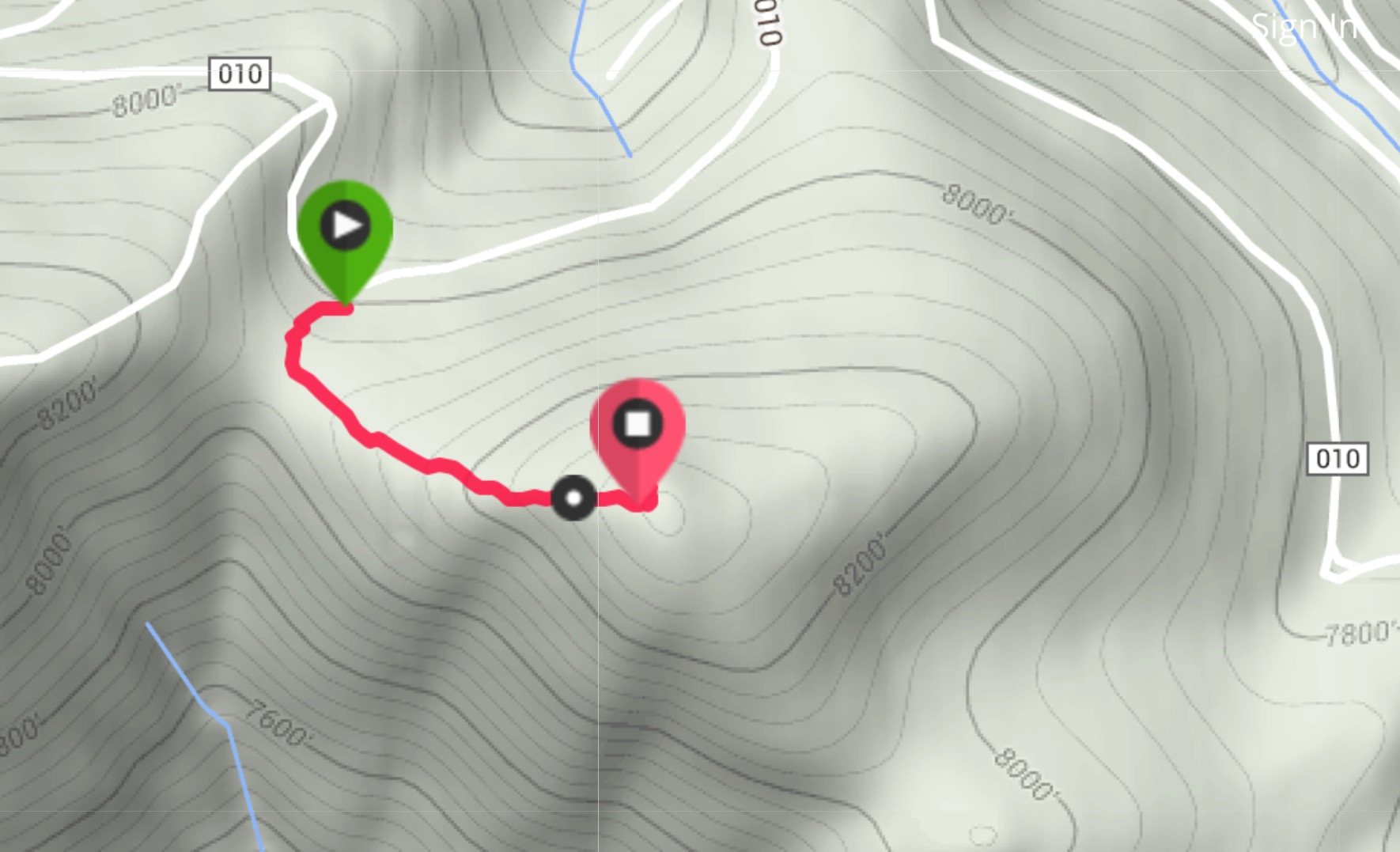
My route.
East Ridge Route by Livingston Douglas
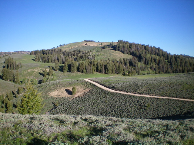
A different view of Basque Peak from the east. Livingston Douglas Photo
Access
Park in a pullout along FSR-010 (about 4.5 miles west of Couch Summit) on a saddle just before the road reaches a signed junction with FSR-088/Salt Creek Road. This pullout is at 7,745 feet and sits at the base of the east ridge of Basque Peak.
East Ridge, Class 2
The Climb
From the parking pullout/saddle, hike southwest up the remnants of a 2-track road (which soon fades to a horse trail, if any trail) which follows the curving east ridge. The ridge bends right/west then right/northwest to reach the summit in a steep climb up a badly rutted “trail.” The ridge works its way around a prominent gulch to its right/north. It is important to avoid that gulch on the descent so that you don’t end up below the saddle from which you started. The ridge also avoids much thicker sagebrush that clogs the gulch. When there is no trail, the sagebrush on the ridge crest is not too difficult to bushwhack. The summit of Basque Peak is a small, rocky outcrop with a modest cairn.
The summit of Basque Peak with Gora Euzkotarak Peak in the distance (mid-ground). Livingston Douglas Photo
Additional Resources
Regions: Soldier Mountains->WESTERN IDAHO
Mountain Range: Soldier Mountains
Year Climbed: 2016
Longitude: -114.87229 Latitude: 43.3601