Elevation: 8,454 ft
Prominence: 524

This peak is not in the book. Published October 2018.
Peak 8454 lies in Custer County, northwest of North and South Chilly Buttes, at the south end of Peck’s Canyon off Trail Creek Road. The peak lies within the Bureau of Land Management’s (BLM’s) Peck’s Canyon Area of Environmental Concern (ACEC)/Research Natural Area (RNA). BLM designated the area as an ACEC/RNA in 1999 for its “excellent condition plant communities.” According to BLM, “The area contains a large mountain mahogany stand in excellent condition. Due to the steep topography of the area, most of the other plant communities in this ACEC are also in excellent condition.” USGS Jerry Peak
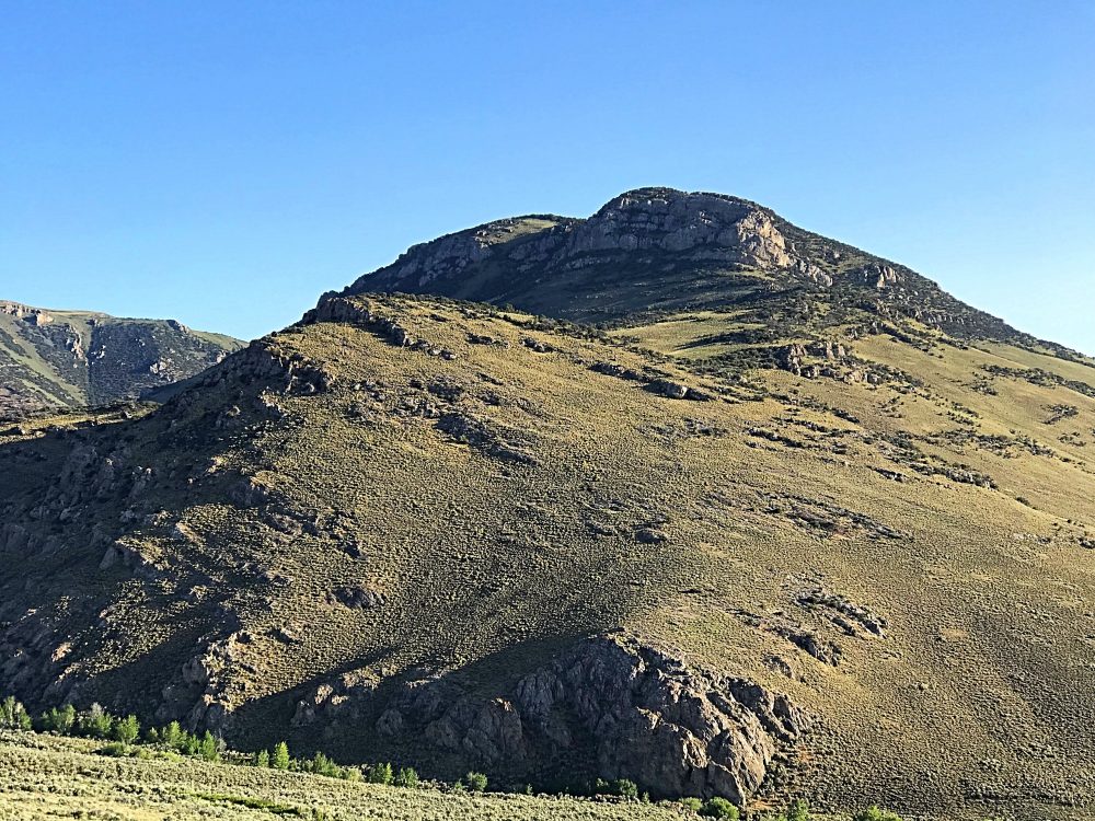
Peak 8454 as viewed from Peak 7442.
We did not see the mahogany stand referenced when we climbed the peak. Additionally, there is very obvious grazing and motorized use on the peak’s north and northeast sides, up to and including the peak’s summit area. It’s doubtful that any of these plant communities exist on the peak’s accessible sides. So look along the steep west and southwest sides as you drive in if you hope to get a glimpse of these special plants.
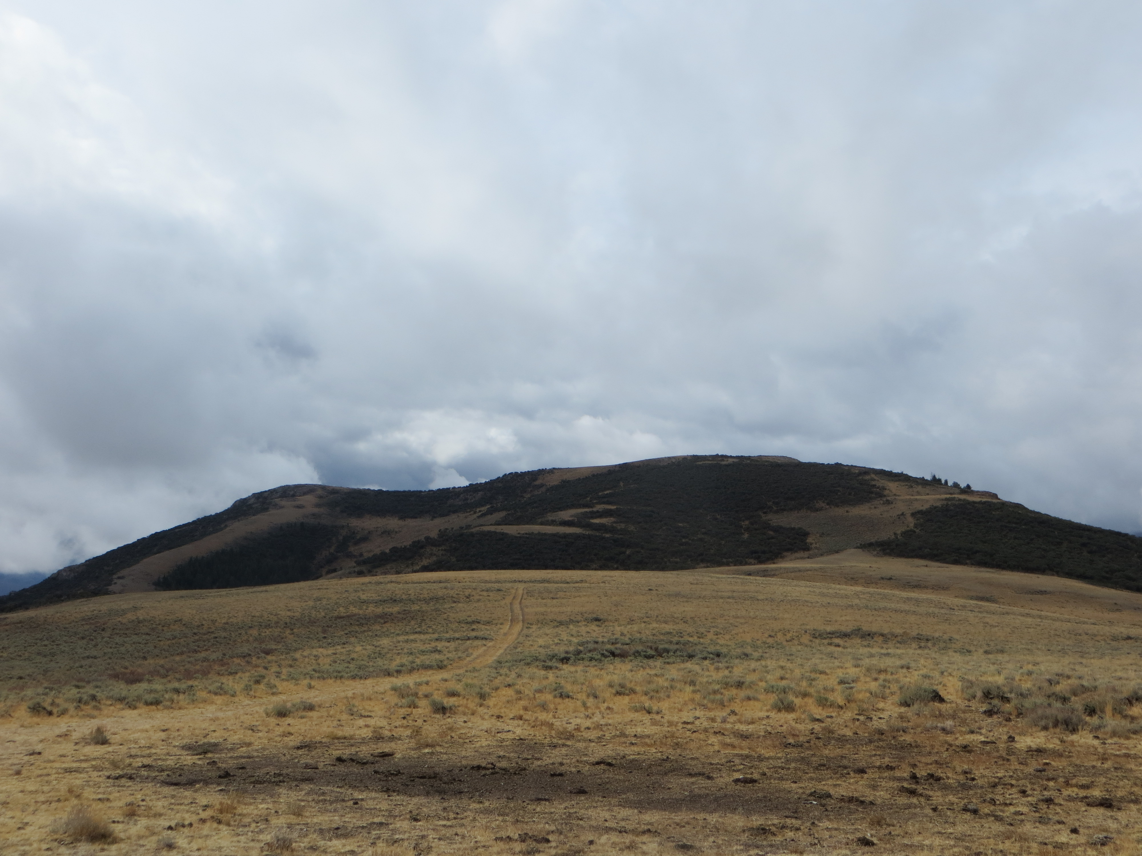
Peak 8454 as viewed from the saddle. Steve Mandella Photo
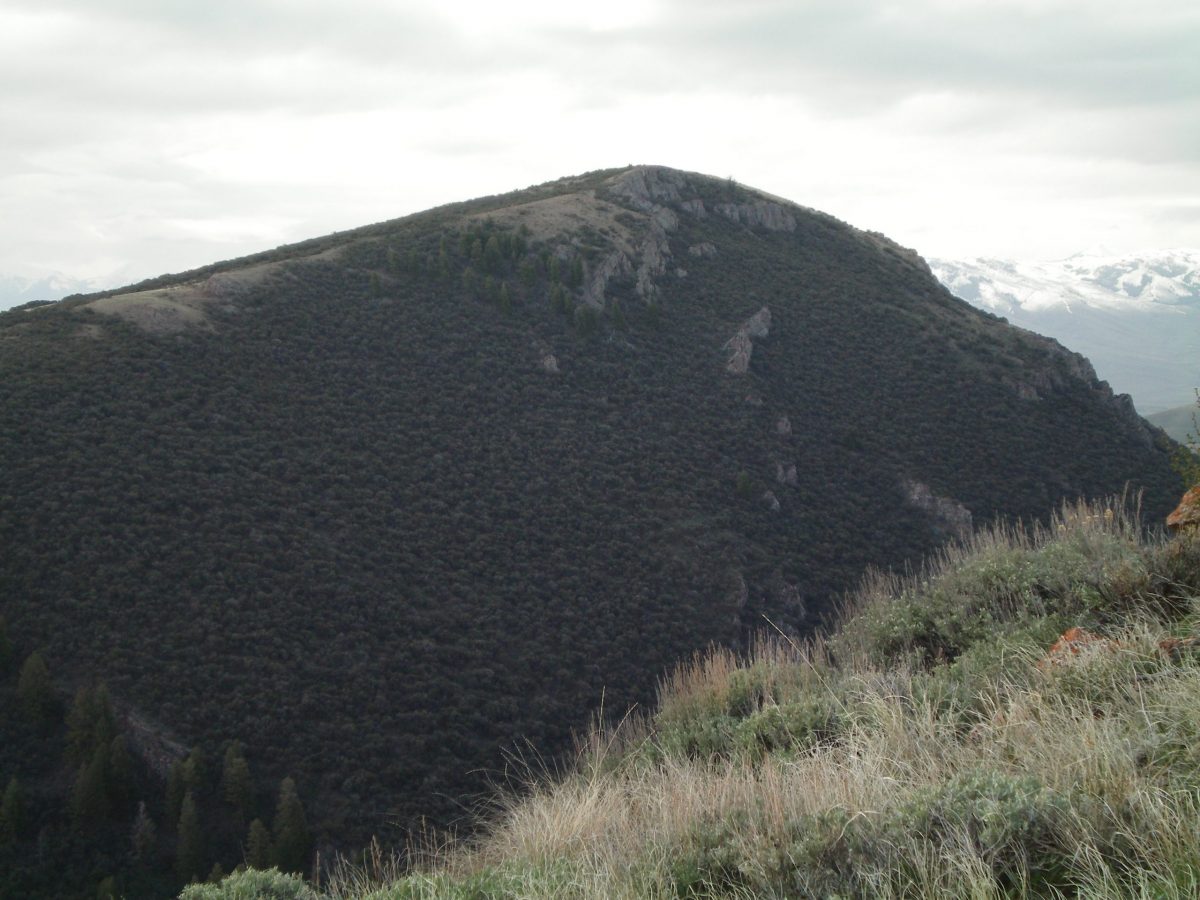
The rugged, thickly-forested northwest face of Peak 8454 as viewed from the east spur of Peak 8923. The left skyline is a profile of the north ridge. The snow-capped Lost River Range is in the background right. Livingston Douglas Photo
Access
Drive west-southwest from US-93 on Trail Creek Road until you reach the [signed] right turn for “Walker Way.” Turn right/northwest onto Walker Way. Follow Walker Way as it winds around Peck’s Canyon. Continue on Walker Way until you reach an jeep/ATV trail intersecting Walker Way from the east. This trail climbs to 7,930 feet, a wide saddle area northeast of the peak. This is a very rough ATV trail and was not passable, because of mud, with our high-clearance 4WD when we were there in October. There is a small area to park on the “shoulder” of Walker Way.
North Ridge, Class 1
Whether you start on Walker Way or at the saddle, follow the obvious jeep trail as it climbs the north ridge. The trail peters out right before the summit area, which is flat and wide. The only indication of the real summit is a “planted” piece of rebar. Trip stats: 2.5 miles with 697 feet of elevation gain round trip.
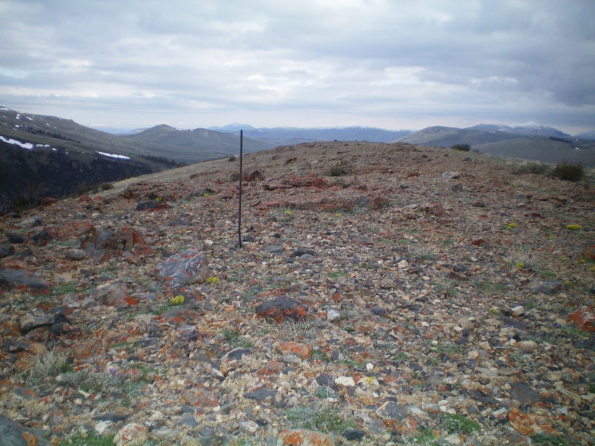
The summit rebar atop Peak 8454. Livingston Douglas Photo
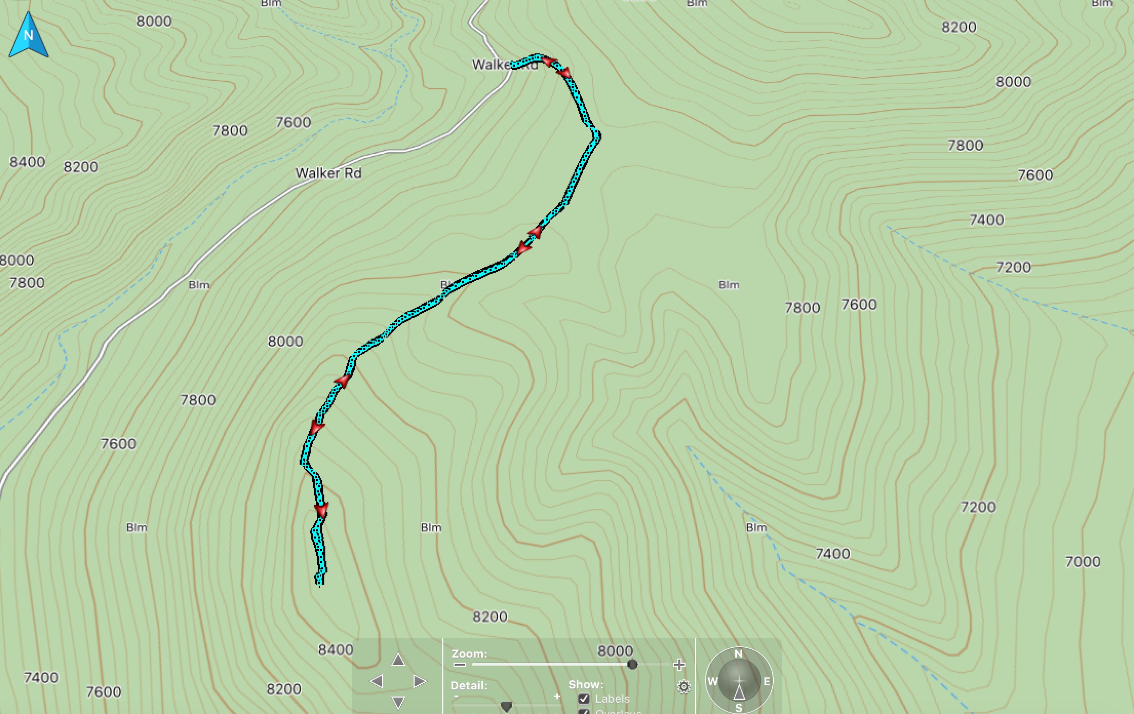
Climber track. Steve Mandella Map
Additional Resources
Regions: Boulder Mountains->EASTERN IDAHO
Mountain Range: Boulder Mountains
Longitude: -114.0289 Latitude: 44.09849