Elevation: 8,662 ft
Prominence: 402
This peak is not in the book. Jared ventured into this extremely remote section of the Sawtooth Wilderness climbing Big Buck Mountain, Peak 8662, and Smoky Peak in an epic journey. His trip report is set out below covers his journey from Peak 8662 to Smoky Peak. See Big Buck Mountain for the first part of the journey. Published August 2022
Peak 8662 is located between Big Buck Mountain and Smoky Peak. USGS Nahneke Mountain
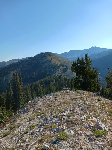
Descent down to the 7,991-foot saddle with PeaK 8662 in the background. Jared Empey Photo
Access
See Big Buck Mountain.
Big Buck Mountain to Peak 8662, Class 2
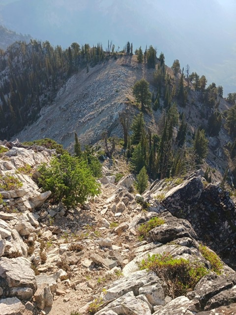
To reach Peak 8662, continue east from Big Buck Mountain along the connecting ridge. The route drops to the right to avoid the initial rock towers that block your path. At times, you need to alternate to the left-hand side or go over the top; use your best judgement. The final section of the east summit ridge descent requires you to descend an easy Class 3 section.
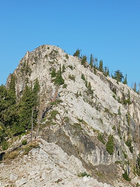
This is the easy Class 3 section of Big Buck’s east ridge that must be descended on the way to Peak 8662. Jared Empey Photo
The end of the rugged section of Big Buck ridge and the beginning of the easy Class 3 section. Jared Empey Photo
Proceed for about a mile across an easy Class 2 ridge line and drop down to about 8,000 feet at a clear animal migratory path. An interesting thing happened along this tame ridge. I rounded a corner and smelled close smoke and heard crackling fire! There was a small fire caused by apparent recent lightning strikes. I raced into the 2-3 inches of ash, found the still burning flames, and extinguished the flames by striking it with trekking poles and dousing it the best I could with dust. This trek to Smoky Peak taught me an important lesson: only you can prevent forest fires!
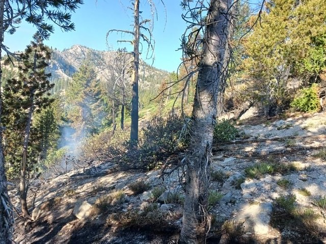
Remaining smoking ashes from fire I extinguished en route to Smoky Peak. Jared Empey Photo
Descent down to the 7,991-foot saddle with Peak 8662 in the background. Jared Empey Photo
After descending to the low point of the ridge, ascend to the summit of Peak 8662 without significant obstacles.
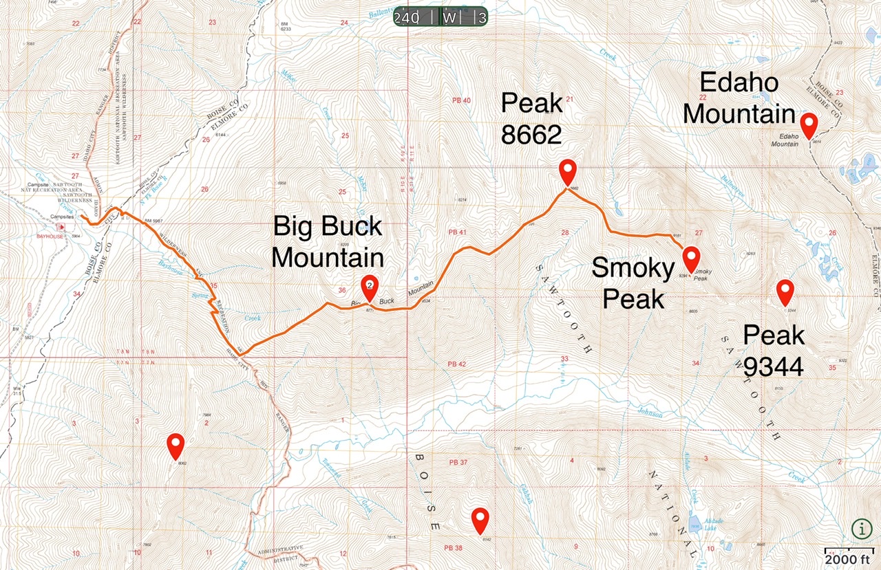
Jared’s GPS track. Trip stats: 5,300+ feet of cumulative climbing and approximately 15 miles.
Jared’s trip report continues on the Smoky Peak page.
Additional Resources
Regions: Northwest Peaks->Sawtooth Range->WESTERN IDAHO
Mountain Range: Sawtooth Range
Longitude: -115.18439 Latitude: 43.99769