Elevation: 8,881 ft
Prominence: 301
This peak is not in the book. Published November 2020
Peak 8881 is one of five ranked peaks that surround the upper reaches of Irving Creek. Two of the peaks are on the Continental Divide and a third peak is very close to the CD. This five-peak adventure includes Peak 8589, Peak 9521, Peak 9660, Peak 9201, and Peak 8881. It covers 11.0 miles with 4,500 feet of elevation gain round trip. It is a magnificent ridge traverse that I highly recommend. USGS Edie Creek
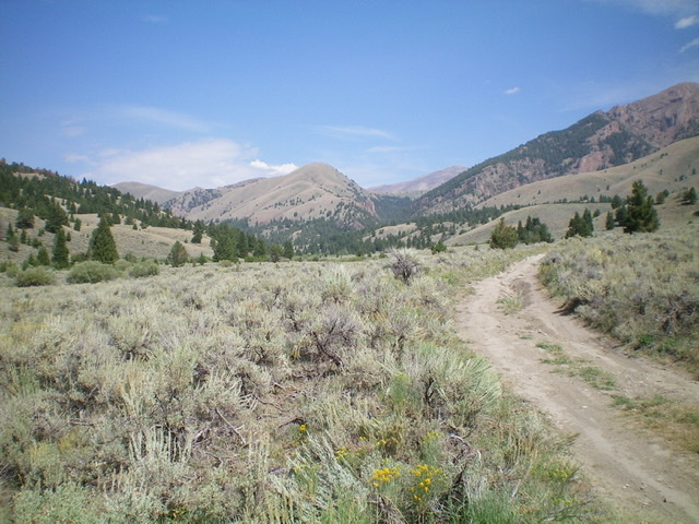
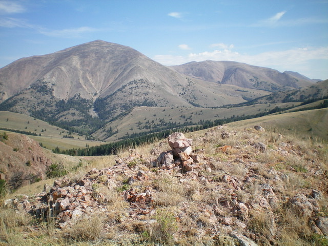
Peak 8881 (dead center) as viewed from Irving Creek Road to the south. Livingston Douglas Photo
Access
Same as for Peak 8589. This is the final leg of a five-peak journey that begins along Irving Creek Road.
North Ridge, Class 2
The Climb
From the 8,500-foot connecting saddle with Peak 9201,scramble south up a sagebrush-covered ridge briefly then move left-ish/southeast to reach a ridge saddle just east of Point 8800. From that saddle, head left/east up the ridge then southeast across a short face section to skirt an unnamed hump and reach the small saddle at the base of the north ridge of Peak 8881. From the saddle, climb south up a somewhat steep ridge using a game trail on the right/west side of the ridge to reach the small ridge crest summit of Peak 8881. The summit has a small cairn.
South Ridge, Class 2
The Descent
From the summit, descend the upper south face south then southeast to reach the [obvious] south ridge. The terrain is a combination of sagebrush and easy grass/scrub. Follow the open ridge crest all the way down to where the ridge narrows and becomes an ugly combination of rocky outcrops and mountain mahogany. Leave the ridge and descend right/southwest. Once on flatter ground below, return to a southward trajectory. Bushwhack through a section of easy pine forest then cross some thick grass meadows to intercept a Forest Service road that heads up Bear Canyon. Go right/southwest onto the road and follow it down to an unsigned junction with Irving Creek Road. Follow Irving Creek Road south for about a mile back to the BLM boundary and your parked vehicle.
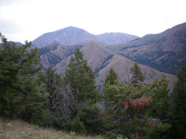
Peak 8881 (hump in mid-ground, dead center) as viewed from the south.
Livingston Douglas Photo
Looking up the south ridge of Peak 8881. The summit is left of center. Livingston Douglas Photo
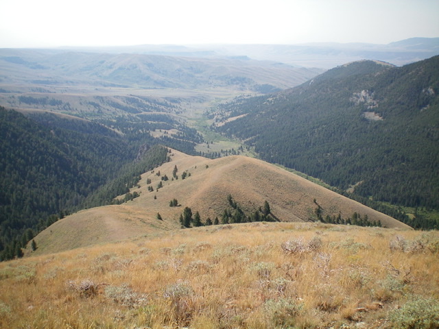
Looking down the magnificent south ridge of Peak 8881, with the Irving Creek drainage at its bottom. Livingston Douglas Photo
The summit area atop Peak 8881, looking north. Livingston Douglas Photo
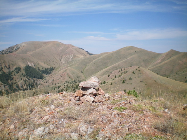
The summit cairn atop Peak 8881, with Peak 9660 (left of center) and Peak 9201 (right of center) in the background. Livingston Douglas Photo
Additional Resources
Regions: Beaverhead Range->EASTERN IDAHO
Mountain Range: Beaverhead Range
Longitude: -112.62369 Latitude: 44.48019