Elevation: 11,300 ft
Prominence: 360
This peak is not in the book. Pat McGrane says that it is “arguably the finest peak in the Pioneers.” Use this link to read Pat McGrane’s Wildhorse Classics Guide which includes many challenging technical climbs on the peak. Please note it is identified in Pat’s guide as Peak 11280. The Lists of John website lists the elevation as 11,300 feet.
Judi Steciak and Carl Hamke provided the following route information. Also, see their article on the Missing Eleveners in the Climbing History Section of this site. Use the link below to read Dave Pahlas’ trip report which includes many photos and a GPS track.
Updated September 2018
Rearing Stallion is located on the West Side of Wildhorse Canyon, due west of the Wildhorse Mine. Abel Peak is to the northwest. Goat Mountain and the main Pioneer Crest are to the southwest. Rearing Stallion is difficult to climb and most routes are technical in nature. USGS Phi Kappa Mountain
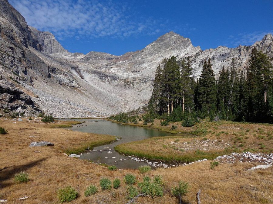
Rearing Stallion as viewed from Lake 8940. Dave Pahlas Photo
West Ridge, Class 3-4
Another gem accessed from Wildhorse Canyon [(C)(1) on Page 259], Rearing Stallion is 2.8 miles west across the valley from Gabriel’s Horn. From the end of the road, cross the Left Fork of Wildhorse Creek on a bridge and then the main fork to gain the South Side of a side creek draining the cirque south of the peak. Work up to the Lower Cirque by staying above and south of the creek on the nose of a forested ridge. Gain the Upper Cirque via dirty slabs to the south of a slab waterfall. Turn north towards the saddle west of the summit and follow the West Ridge, staying generally close to the crest and bypassing difficulties on the South Side. Rick Baugher reached the summit with no signs of previous ascent on July 20, 2008.
Additional Resources
Regions: EASTERN IDAHO->Pioneer Mountains
Mountain Range: Pioneer Mountains
First Ascent Information:
- First Ascent Year: 2008
- Season: Summer
- Route: As above.
- Party: Rick Baugher
Longitude: -114.12679 Latitude: 43.7799