Elevation: 10,106 ft
Prominence: 46

This peak is not in the book. Published November 2020
Red Conglomerate Peaks North is shown as “Divide Benchmark” on the USGS topo map. It sits on the Continental Divide unlike the higher, ranked Red Conglomerate Peaks South to its south and is the site of a USGS benchmark. This climb is part of a four-peak odyssey that includes Cobble Mountain (9,996 feet), Knob Mountain (9,762 feet), Red Conglomerate Peaks North (10,106 feet) and Red Conglomerate Peaks South (10,250 feet). USGS Edie Creek

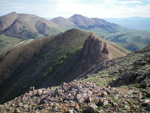
Divide Benchmark (gentle hump left of center) as viewed from Red Conglomerate Peaks South. The rocky outcrop just to the right of it must be skirted to keep this ridge traverse at Class 2. Livingston Douglas Photo
Access
Same as for Cobble Mountain. This is the third leg of a four-peak journey.
Southeast Ridge, Class 2
The Climb
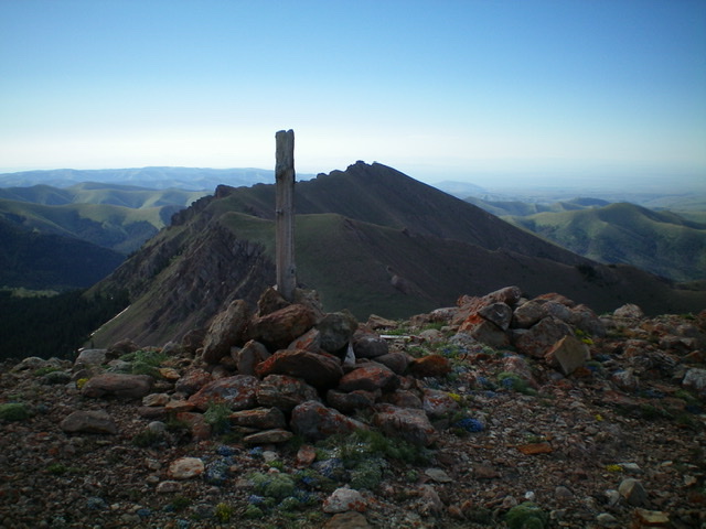
From the 9,260-foot connecting saddle with Knob Mountain, scramble northwest up scrub then a rocky ridge/slope of scree and rocky ledges (full-on Class 2) to reach the top of Divide Benchmark. I could not locate the benchmark but there is a large cairn and triangulation posts on the summit.
South Ridge, Class 2
The Descent
From the summit, descend the ridge south to a minor saddle on easy, open terrain (broken scree) to reach an imposing block/outcrop that is in the middle of the ridge. Skirt the right/north side of this obstruction by dropping on angled, loose scree to about 10,000 feet at the base of the massive block and returning to the ridge crest immediately after passing the block. You are now at the second of two saddles and are at the base of the north ridge of Red Conglomerate Peaks South. This connecting saddle is at 10,060 feet. This concludes the third leg of today’s journey. A climb of Red Conglomerate Peaks South is up next.
Additional Resources
Regions: Beaverhead Range->EASTERN IDAHO
Mountain Range: Beaverhead Range
Longitude: -112.59759 Latitude: 44.48809
