Elevation: 7,905 ft
Prominence: 525
This peak is not in the book.
Peak 7905 sits NNW of Pilot Peak in the Boise National Forest. The peak can be climbed via ATV trails from either Freeman Peak to the south or from Coulter Summit to the north. USGS Sunset Mountain
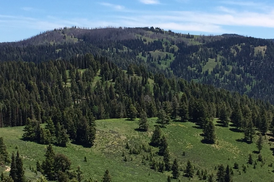
Peak 7905 as viewed from Pilot Peak. The summit area is large and is covered by meadows and groves of trees. The first high point that you reach appears to be the highest point.
Access
Access the peak from ID-21 at Mores Creek Summit by turning north onto FS-380. Follow this rough road to the saddle northwest of the summit of Pilot Peak. There is a 4-way junction at this point. A right turn takes you to Pilot Peak. A left turn takes you on a difficult 4WD road that follows the ridge top toward Freeman Peak. Continue north on FS-380, dropping off the saddle to the first major intersection. Turn left and follow this road southwest to the north side of Freeman Peak where you will encounter FST-690. This trail is open to ATVs. You can park just below the junction.
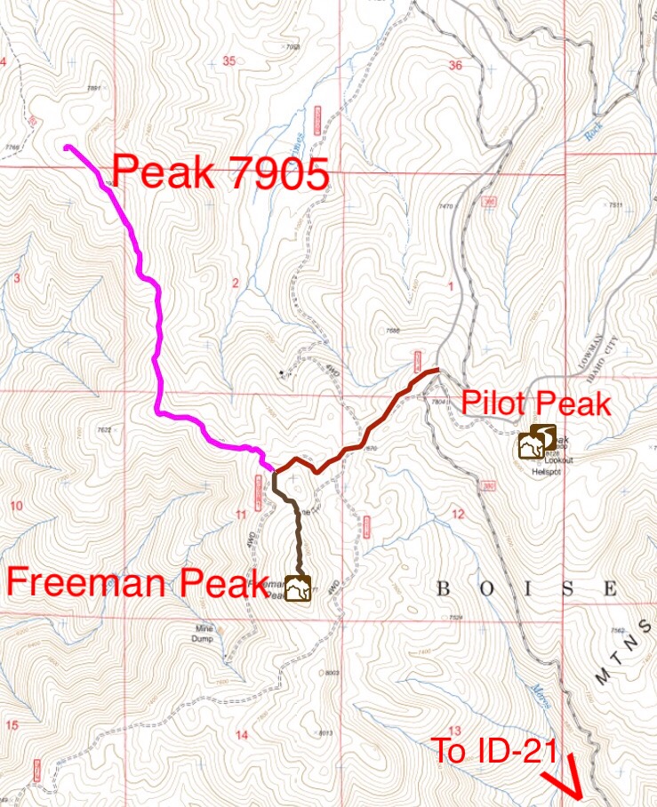
Peak 7905 and Freeman Peak access. Note that the Forest Service and USGS topos do not accurately show all of the roads in this area.
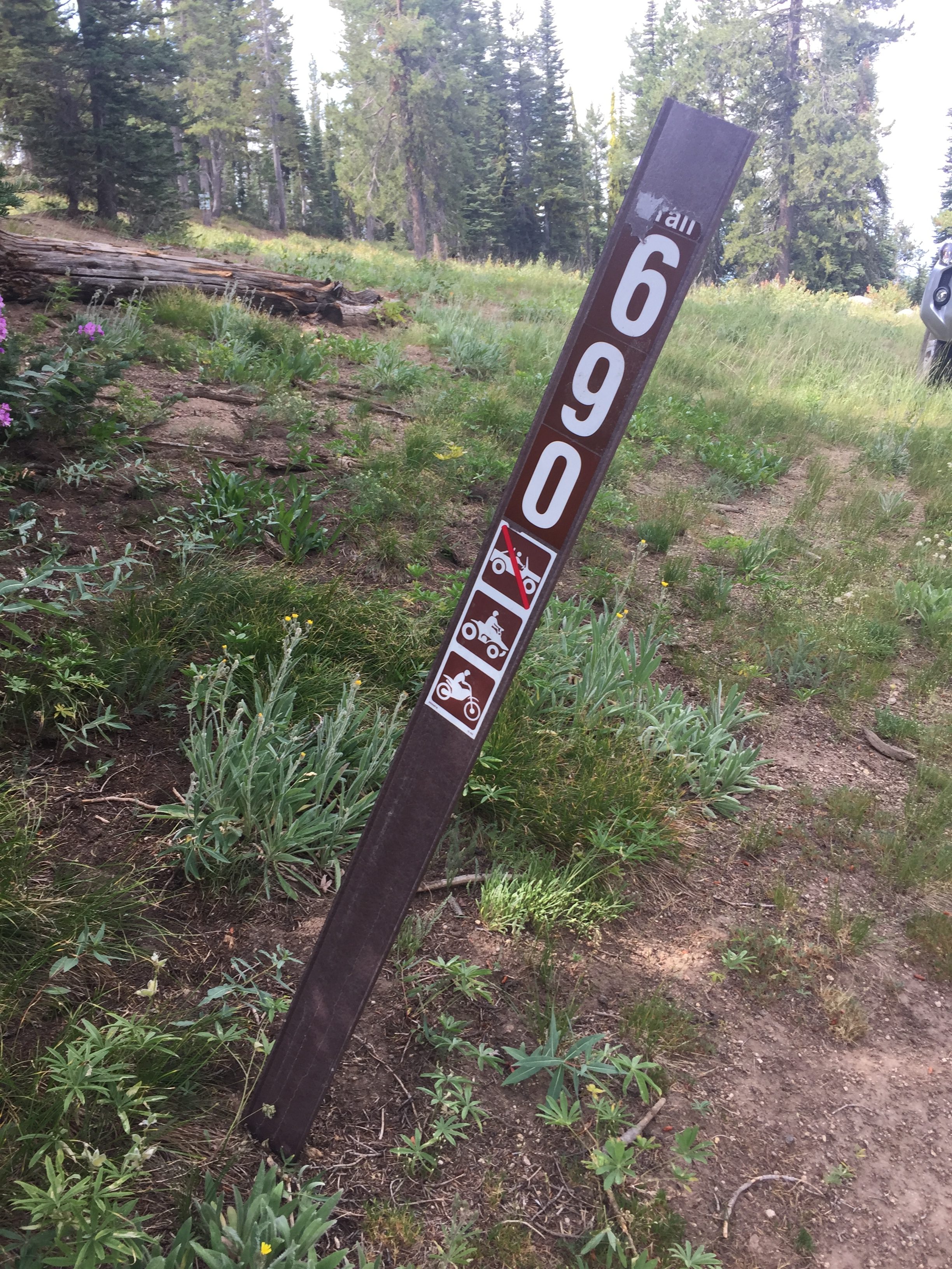
The start of FST-690.
If you want to approach the peak from the north, see the Jackson Peak page.
FST-690 Route, Class 1
FST-690 is closed to vehicles larger than ATVs but it is basically a road with a couple of spots that are likely impassable to full-sized vehicles. The road follows a long, scenic ridge to the summit in 2.0 miles with about 450 feet of elevation gain. Round-trip elevation gain is just under 900 feet. The trail continues north to Coulter Summit and another trail goes west to nearby Wilson Peak.
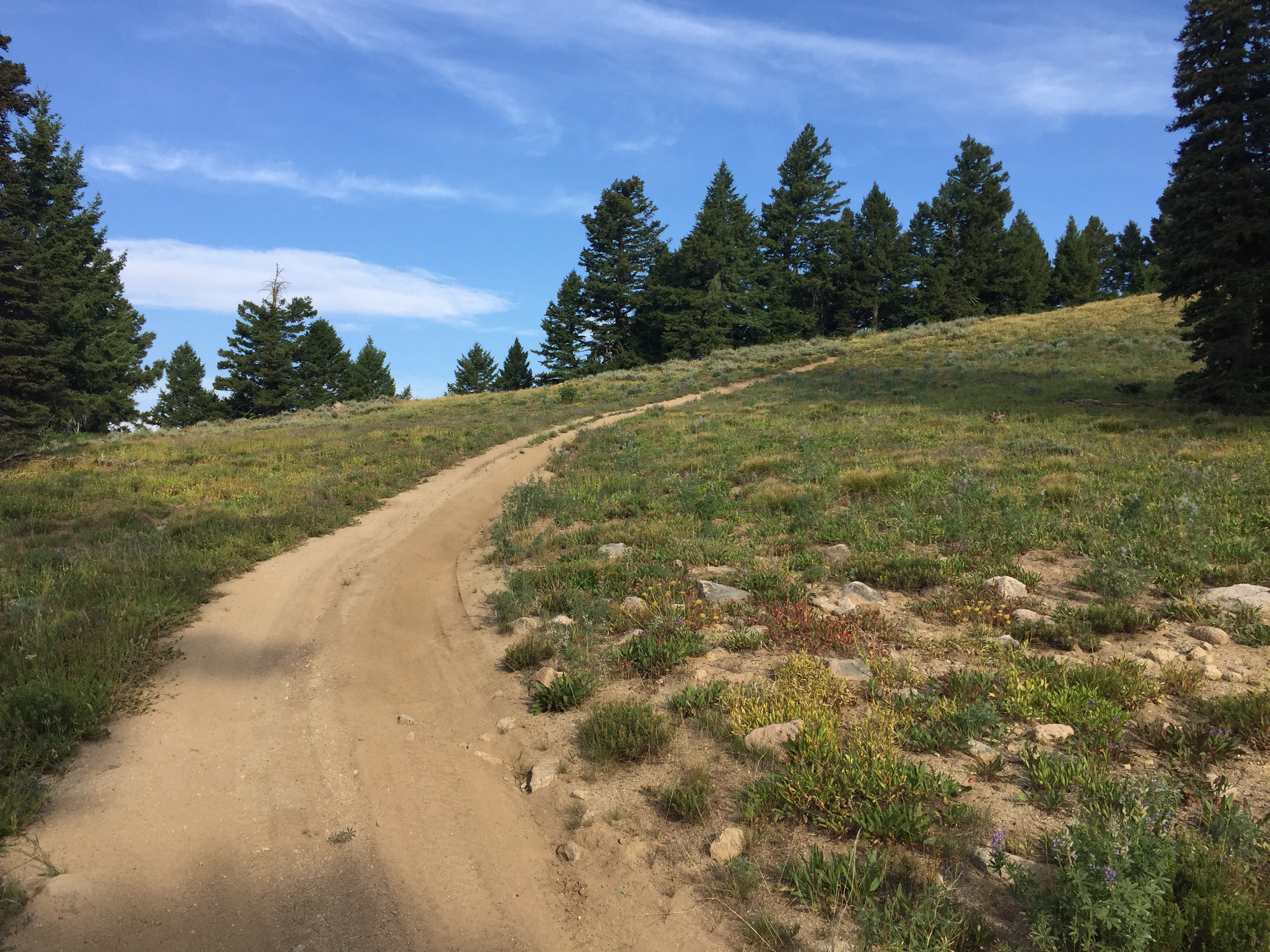
FST-690 sees a lot of ATV use.
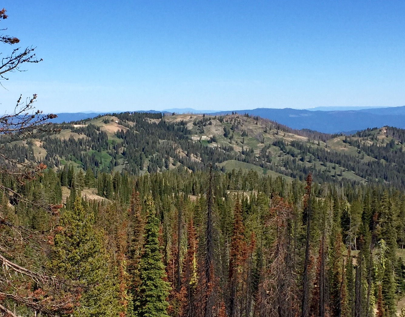
Peak 7905 as viewed from Pilot Peak.
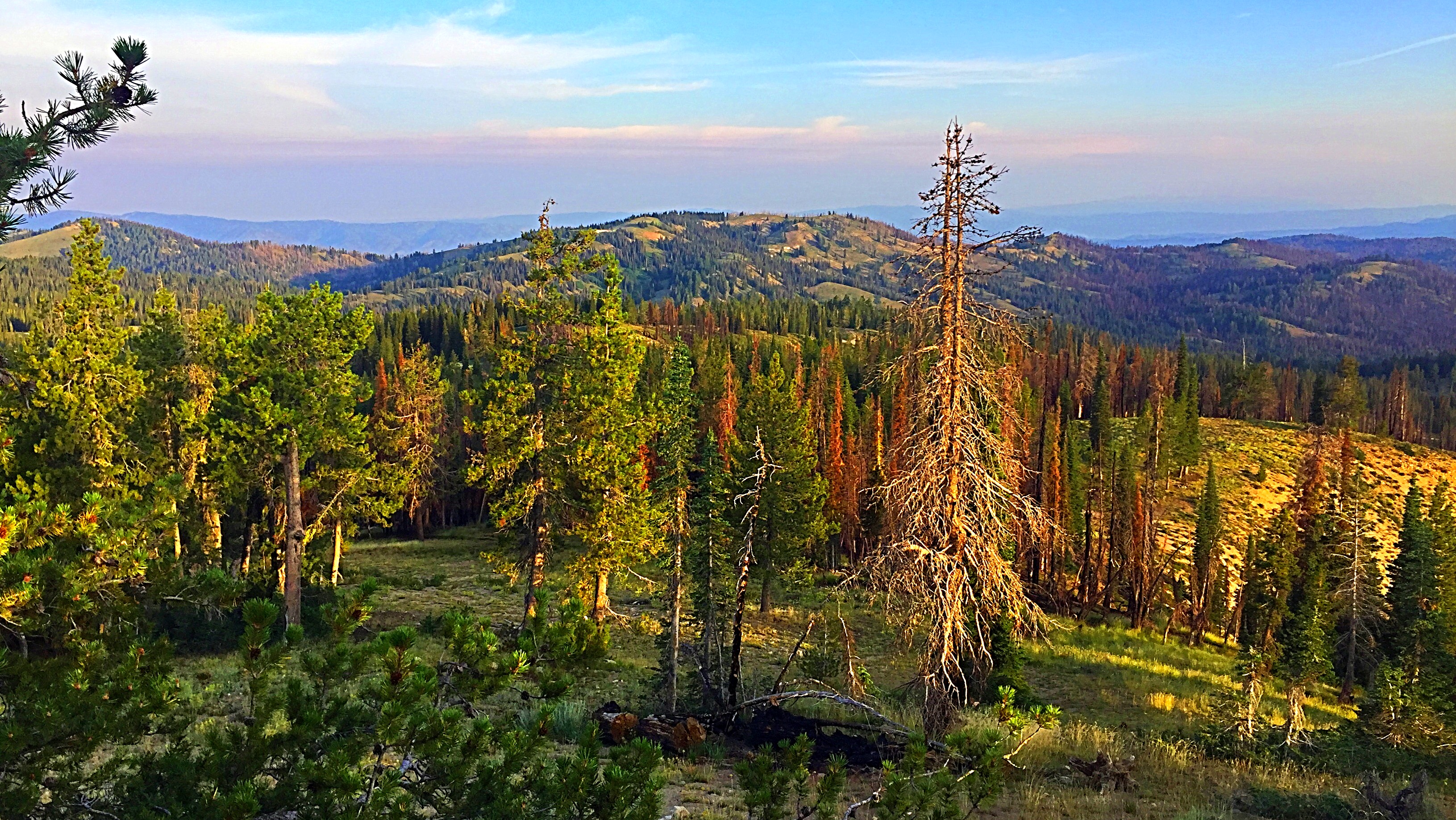
Peak 7905 as viewed from Jackson Peak.
Additional Resources
Regions: Boise Mountains->WESTERN IDAHO
Mountain Range: Boise Mountains
Longitude: -115.72549 Latitude: 43.97739