Elevation: 11,612 ft
Prominence: 1,752

Climbing and access information for this peak is on Pages 305-306 of the book. The book describes six routes on this peak. The peak’s West Ridge/West Face is the route most often climbed. This update includes additional routes and more detail on the West Ridge/West Face route. Updated June 2020
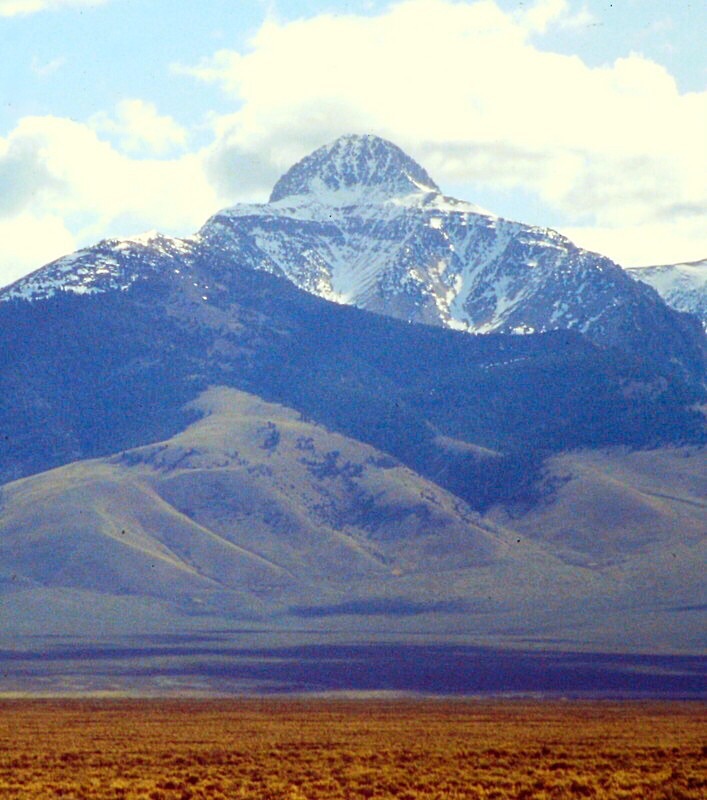
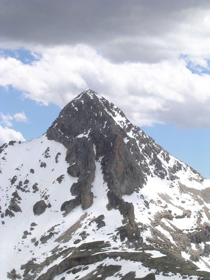
Bell Mountain is one of Idaho’s iconic landmarks. My first view of this impressive peak in 1979 (and the lack of information about it) convinced me to write the guidebook. Bell Mountain and Diamond Peak dominate the Southern Lemhi Range and are magnets for Idaho climbers. The peak is number 3 on my list of favorite Idaho climbs. USGS Bell Mountain
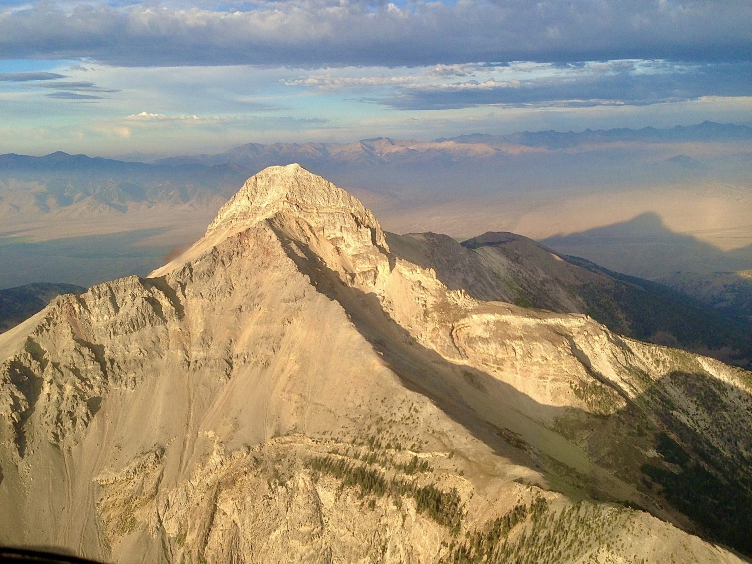
An aerial view of spectacular Bell Mountain. Mike Hart Photo
Surprisingly, this distinctive Liberty Bell-shaped mountain is allegedly not named Bell Mountain because of its shape. Instead it was named after Robert Norman Bell who was Idaho’s State Inspector of Mines in the early 1900s. USGS surveyor Thomas M Bannon made the first known ascent in 1914 although it is likely that miners ascended the peak at a much earlier date. Soon after Bannon’s ascent, in 1916, the name Bell Mountain was included on an early sketch map of the Nicholia 30 minute quadrangle. Use the link below to read Rick Baugher’s trip report which contains additional historical information.
Links to Additional Route Descriptions
- Hells Bells’ Northwest Face II WI3, M3+ by Dean Lords
- East Ridge/South Face Route by Clint Barg
- Southwest Gully
West Ridge/ West Face, Class 3+
The last 600 feet of elevation gain up up the peak’s West Face consists of sustained Class 3 climbing over steps, ledges and slabs with a significant risk of dislodging loose rock. In short, it is a classic Idaho route. Reaching the face involves a long walk with significant elevation gain.
Access
The alluvial fans on west side of Bell Mountain are crossed by several 4WD roads which are discussed in the book on page 318 [(C)(7)]. These rough roads are accessed from the Pahsimeroi Highway 5.8 miles north of Clyde, Idaho.
The main road leads into Basinger Canyon on the north side of the west ridge. There are several good camping spots in this canyon. This road ends at 7,600 feet.
The Black Creek Road provides access to the south side of the west ridge. This road is rougher than road into Basinger Canyon. This road ends at roughly 7,400 feet of elevation. If you are heading for the Southwest Gully Route this is road you will take.
There are lots of options to reach the peak’s West Face. The three most popular are shown on map below.
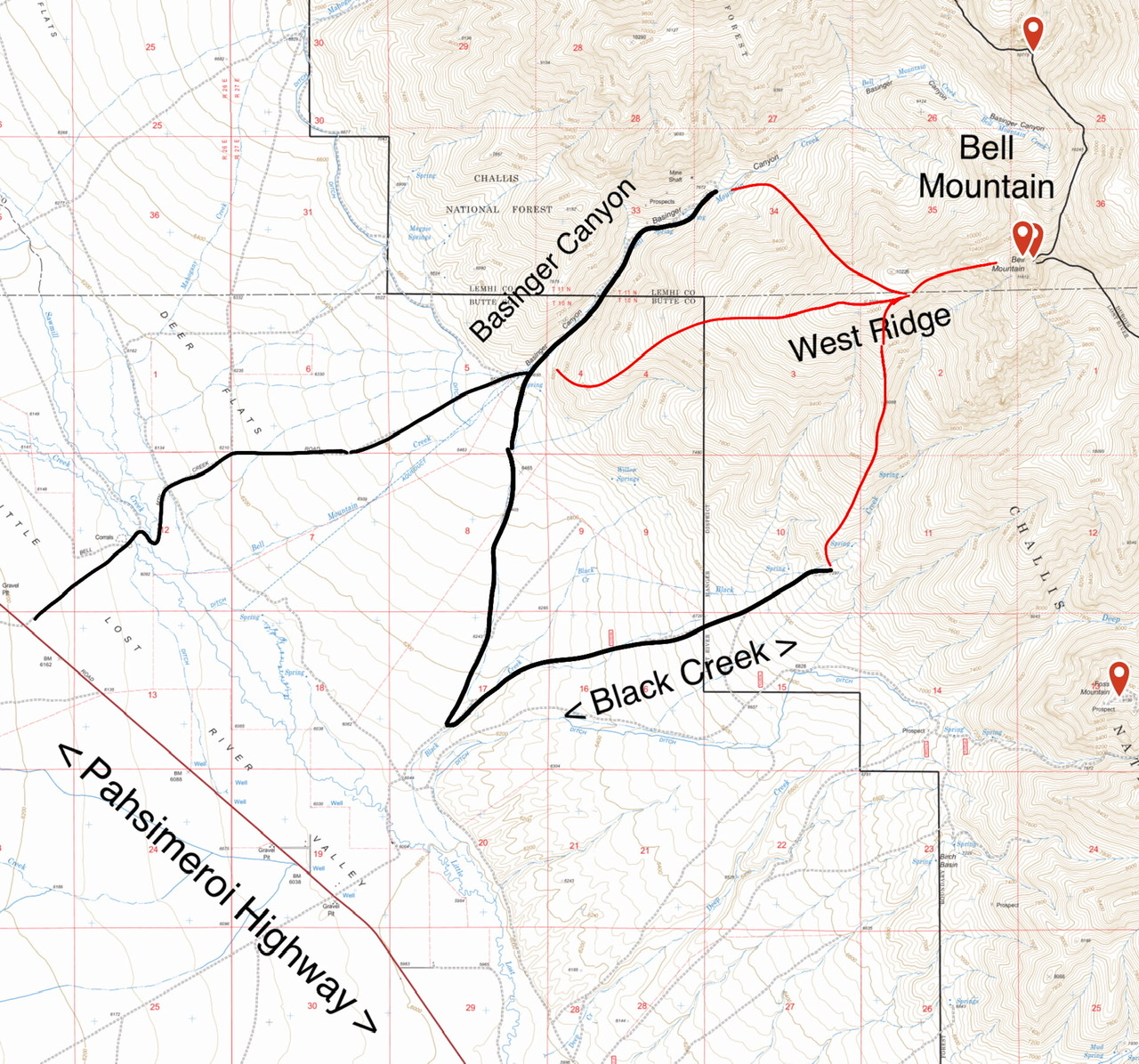
The Little Lost River Valley bottom lands between the Pahsimeroi Highway and the alluvial fans leading up to Bell Mountain are mostly private. As a result, the there is no direct access from the highway to Black Creek. The red lines show the three most popular lines to the West Face.
All of the lower approaches shown on the map climb through mixed terrains of sage bush, pine and rock. The West Ridge encompasses three large meadows and two obstacles to circumvent. The first is a rocky tower at 10,360 feet. The second is a 500 foot vertical step which begins at 10,400 feet.
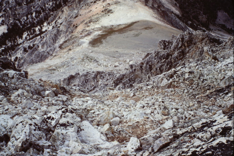
This tower, viewed from the east, blocks the west ridge at roughly 10,300 feet of elevation. It is most easily bypassed on its south side.
The 500 foot step which blocks the West Ridge is shown in the center of this photo. Bypass the step on its north side by scrambling up a short rock section and then climbing steep grass covered slopes to the ridge top.
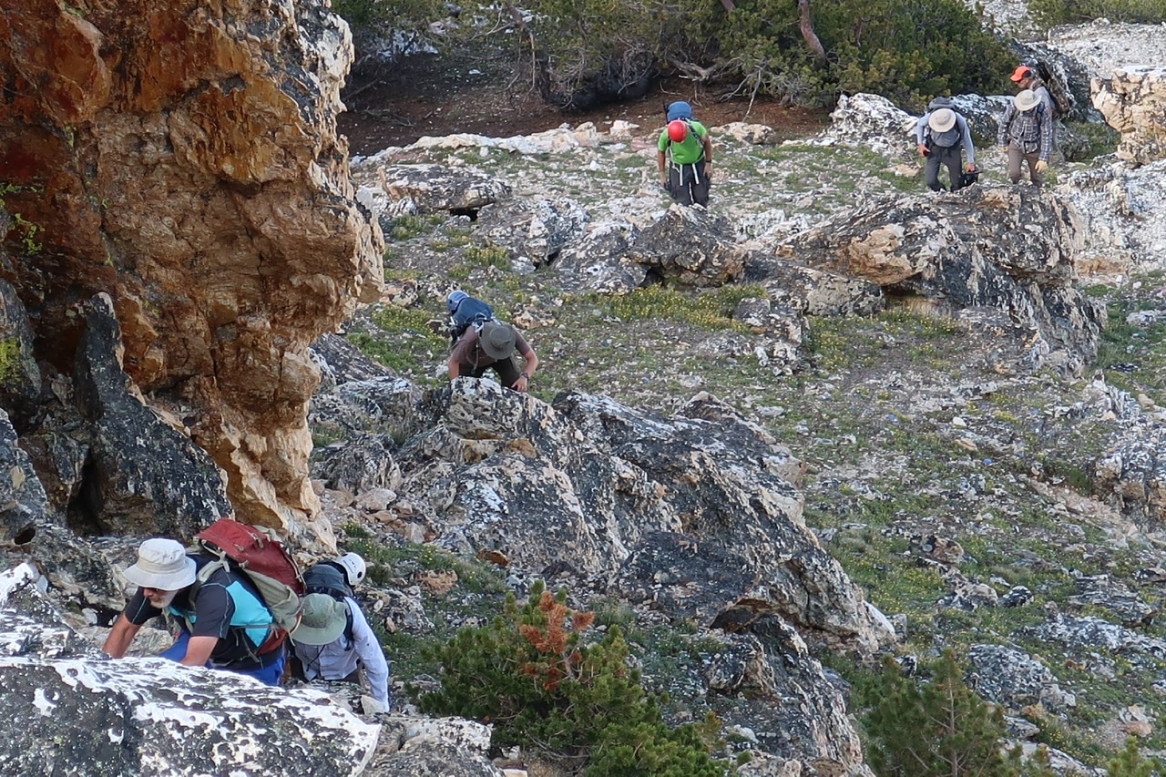
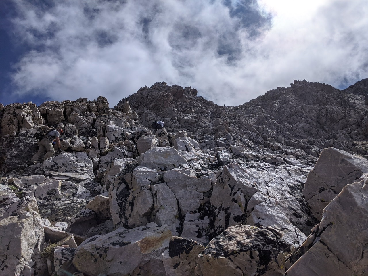
Scrambling up the lower north side of the step. Clint Barg Photo
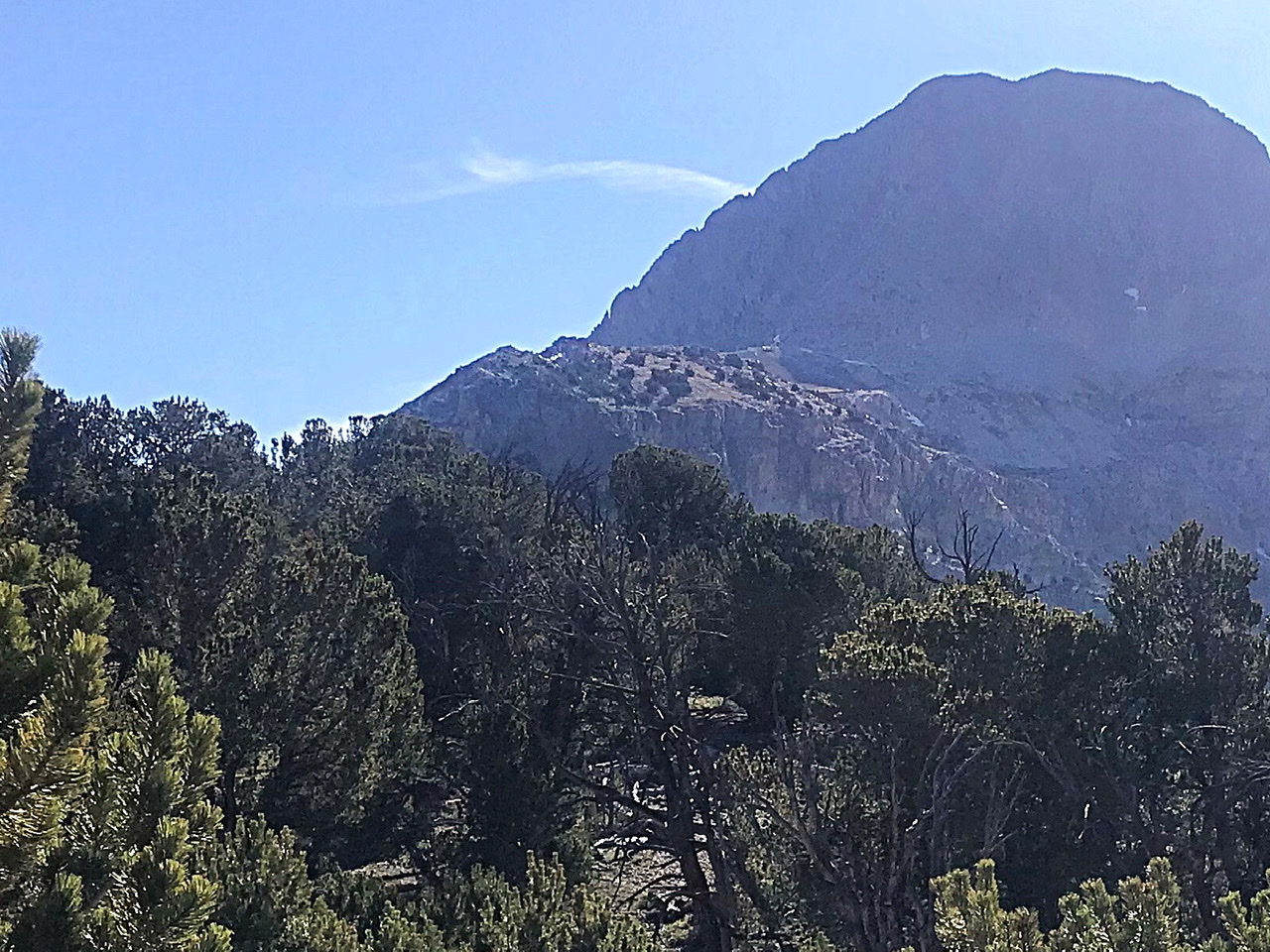
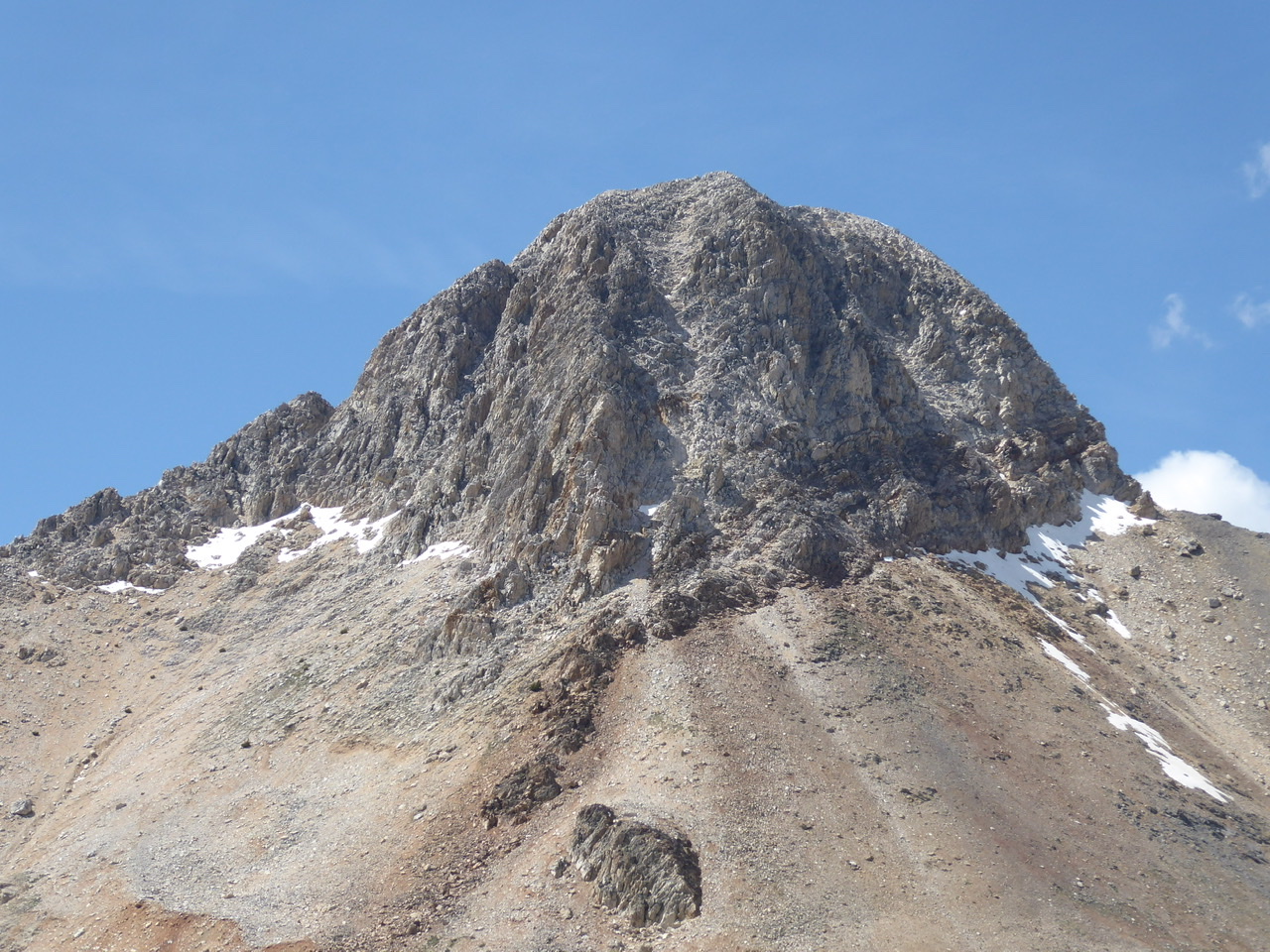
The West Face viewed from the above the step at 10,800 feet.
West Face
Reaching the top of the West Ridge and traversing the two obstacles is only the opening act. The West Face is the star of this climb. It is not as difficult as it looks, but still involves sustained, steep Class 3 climbing with a high potential for rock fall. There are several lines on the blocky face that lead to the summit. The main rib on the face is the most difficult line. The gully to the rib’s right, the easiest. Which ever line you choose be careful not to drop rocks on other climbers. A helmet is advised. If you stray on to Class 4 terrain retreat to safer ground.
Ken Jones describes the climb as follows: “For the last 600 vertical feet, we headed straight at the peak. On 2-3 occasions, the area I was climbing got steeper and more exposed. In each case, I returned to easier terrain by traversing to the right into another chute. These chutes were basically Class 2-3 climbing; in the Cascades, they would be rated Class 2.“
Looking down the west face. The main rib is on the right.
Climbing up the west face roughly 200 feet below the summit. Bill Manny Photo
Additional Photos
Bell Mountain viewed from the Clapper. The gully in the center of the face (just right of the south ridge) is the line used to ascend and descend this side of the peak. Steve Grantham Photo
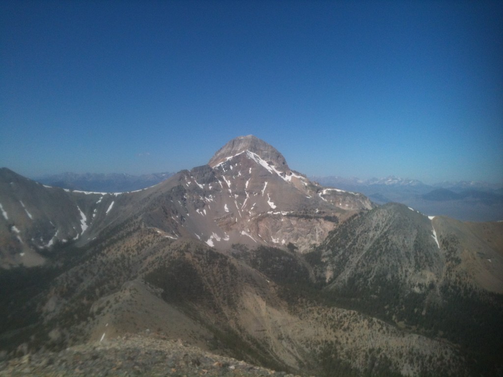
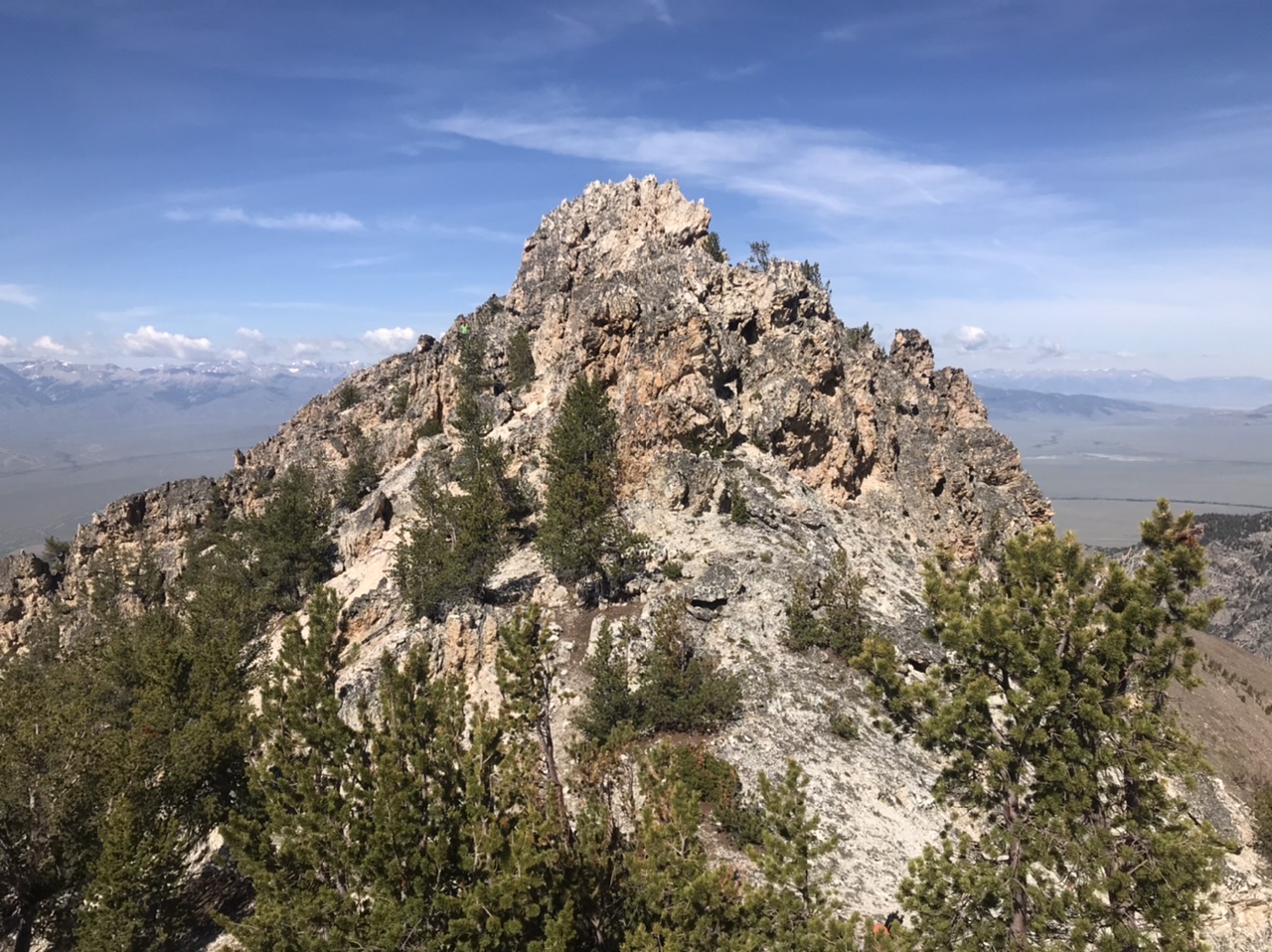
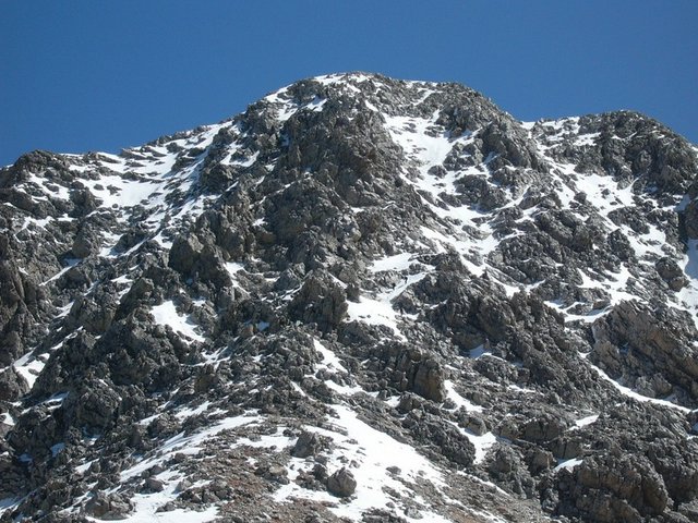
The West Face of Bell Mountain towers over the Little Lost River Valley.
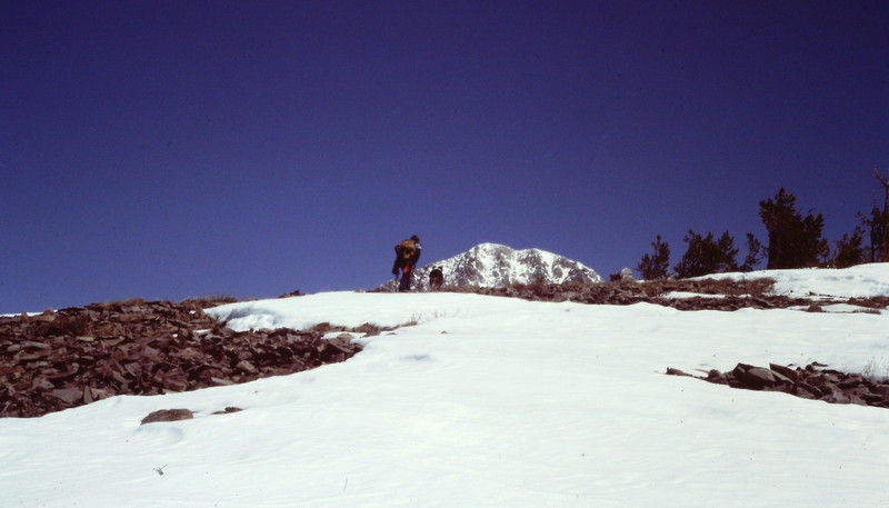
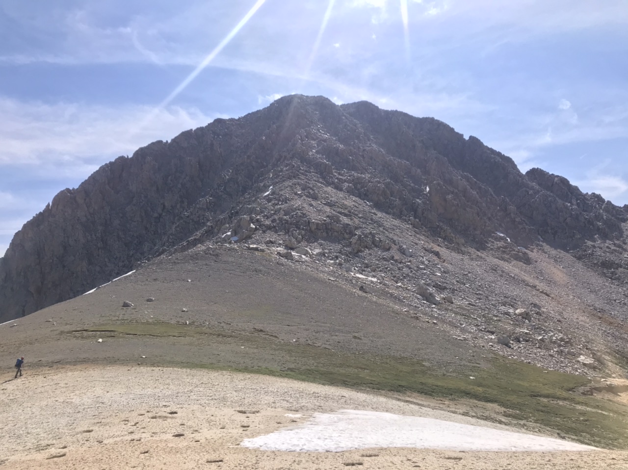
The summit comes into view only after a long trudge up the West Ridge. If you are climbing the west ridge when it is still snow covered you will need snowshoes.
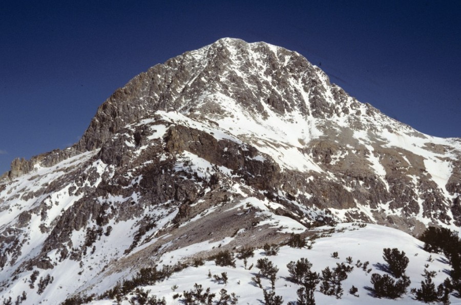
The West Face of Bell Mountain.
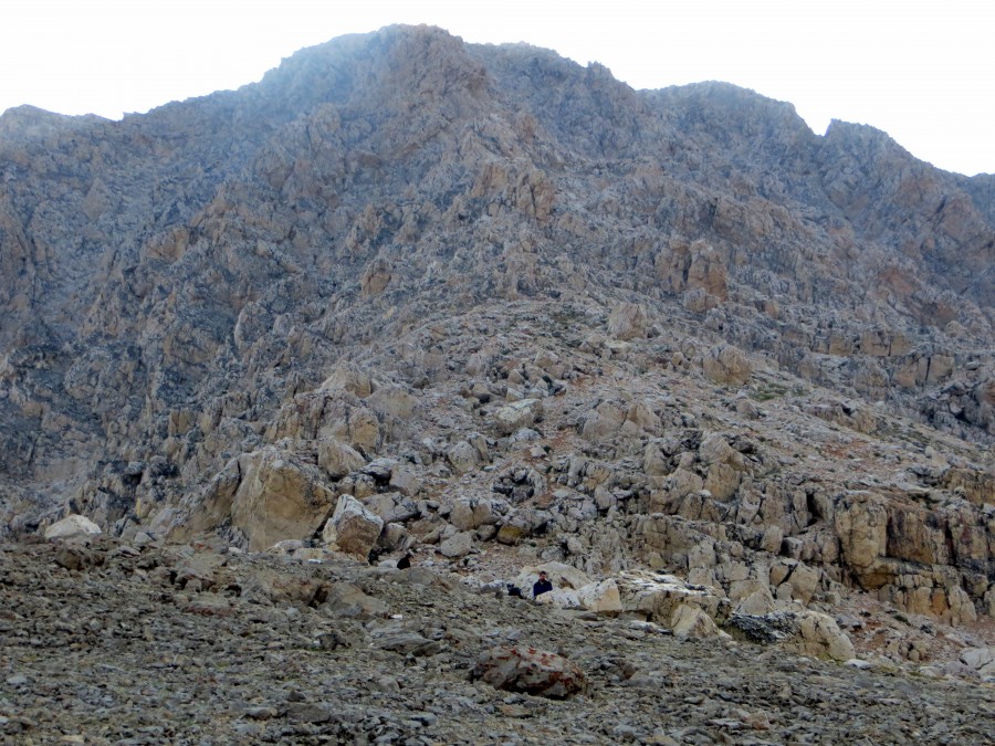
Look for two climbers in the center of the photo.
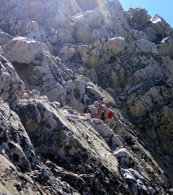
Climbing the West Face. Deb Rose Photo
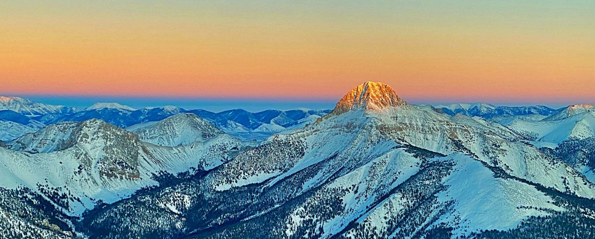
A look at the peak’s West Face with early morning lighting. Margo Mandella Photo
Bell Mountain. Mike Hart Photo
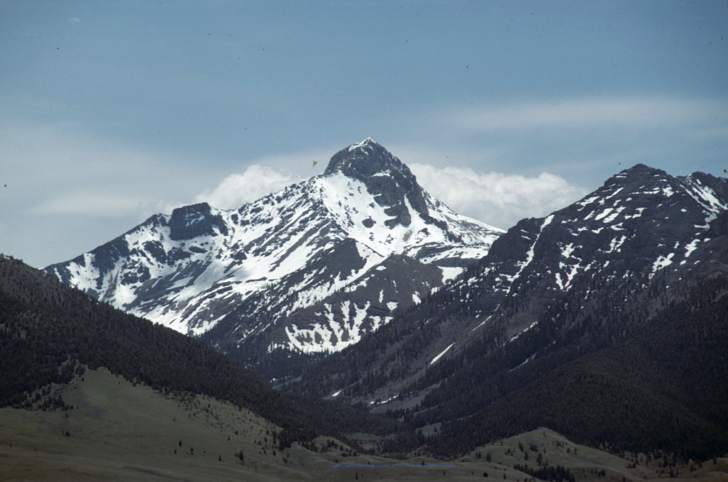
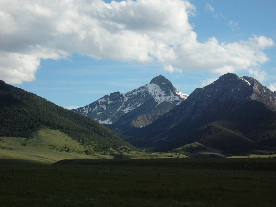
Bell Mountain as viewed from Meadow Peak.
Bell Mountain as viewed from Bell Mountain Canyon.

The North Face of Bell Mountain as viewed from The Knoll.
The North Face of Bell Mountain as viewed from Umpleby Peak.
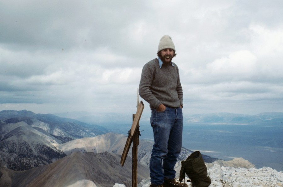
On the summit of Bell Mountain (1980). Notice the fine climbing pants. I still have the sweater.
Additional Resources