Elevation: 5,370 ft
Prominence: 590
This peak is not in the book. Livingston Douglas added a new route describing the traverse from Hutton Peak to Fiddler Benchmark. Updated October 2023
Fiddler Benchmark is located on the northernmost Danskin Mountains ridge that runs from Danskin Peak in the southeast to Hutton Peak in the northwest. This ridge parallels the South Fork Boise River Canyon. The USGS benchmark is located on the eastern end of the undulating summit ridge. Based only on my observation, I believe that the actual high point is found on a granite outcrop on the west end of the summit ridge. Livingston Douglas confirmed my findings. USGS Grape Mountain
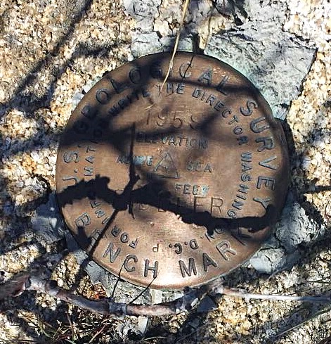
The USGS benchmark
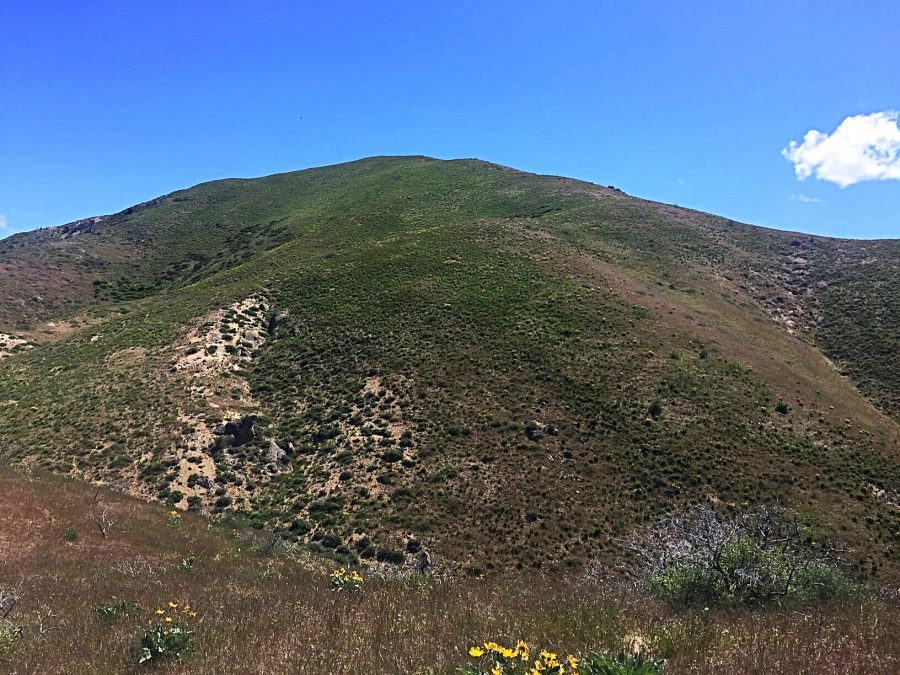
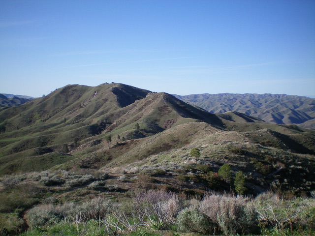
Fiddler Benchmark as viewed from upper Lambing Creek
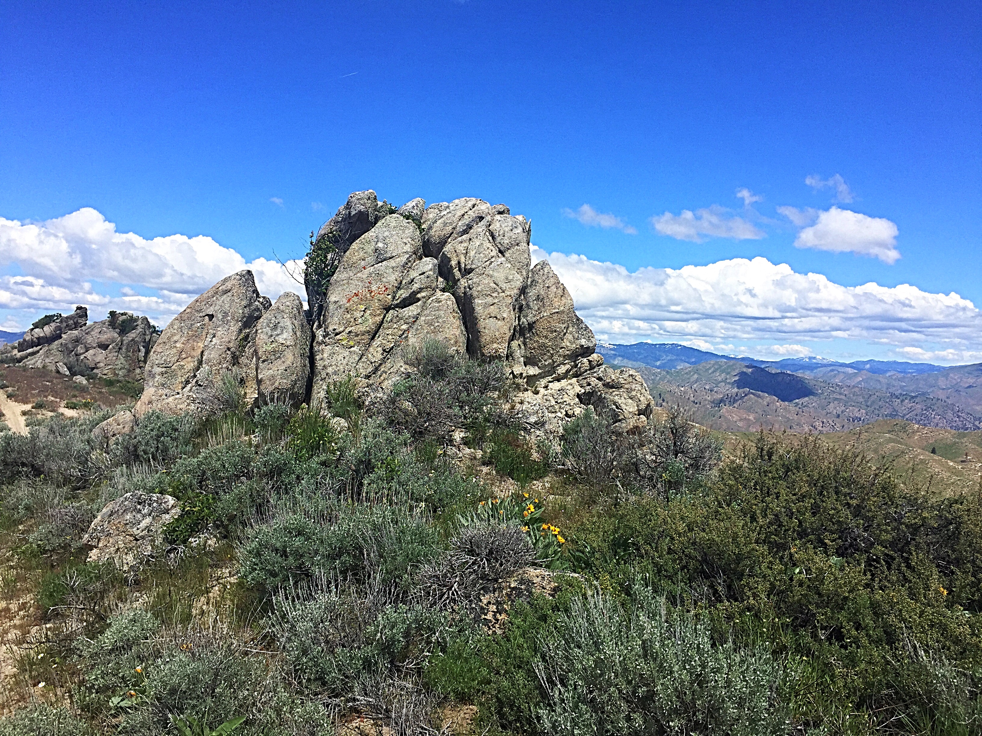
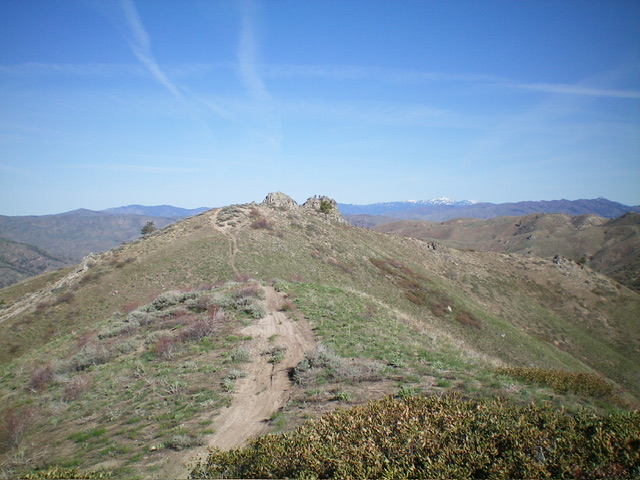
I believe that the highest point on Fiddler Benchmark is located on top of this granite outcrop. A short Class 3 scramble gets you on top.
Access
The summit, which is crossed by the Danskin Mountains OHV trail system, can be accessed from a number of directions. The shortest access is from I-84 and the Blacks Creek Road/FS-189 [(G)(1) on Page 156]. Both routes listed below use this approach.
Routes
Willow Creek/Lambing Creek, Class 1+
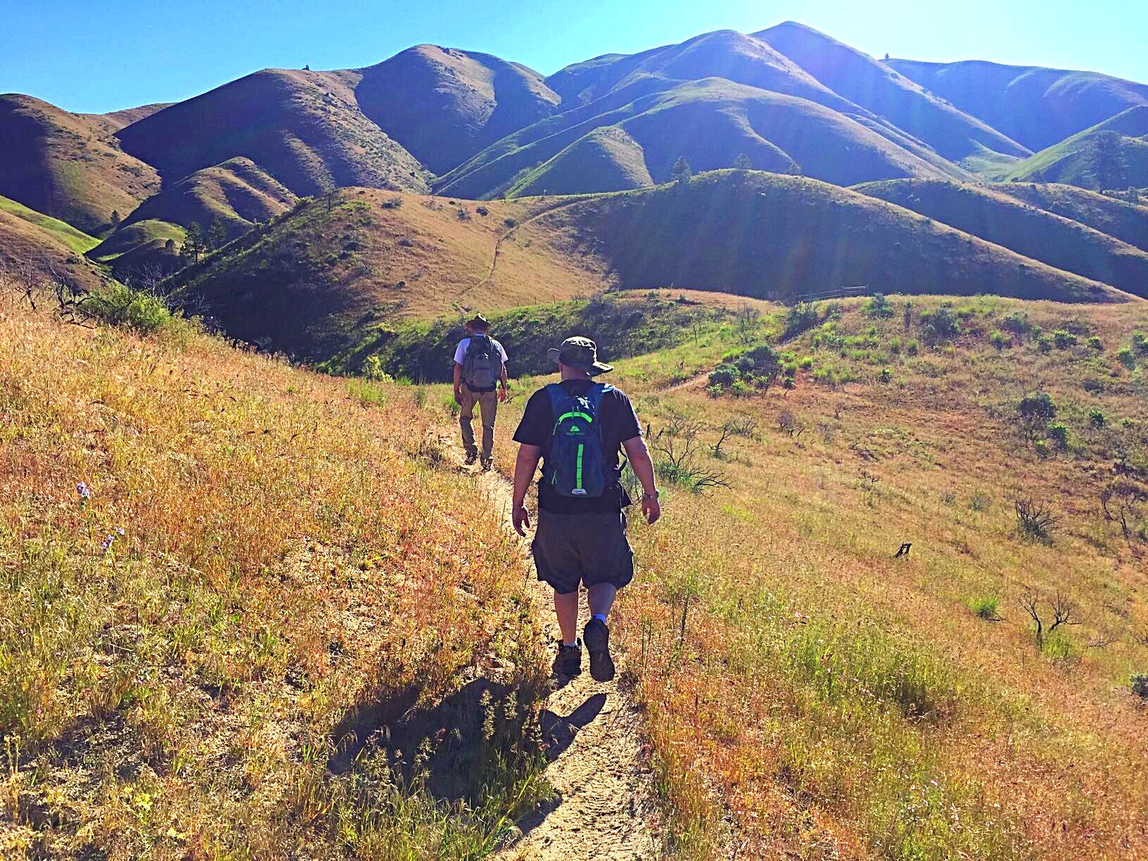
FST-400 and FST-410 both start at the Willow Creek Trailhead. Both trails will get you to Lambing Creek and FST-412. There is plenty of parking at the trailhead. FST-400 follows Willow Creek east to the Lambing Creek Trail/FST-412. This trail is in poor shape, nearly disappearing in a couple of spots. It crosses Willow Creek often, forcing you to wade. Early in the year, the creek can be waist deep.
FST-410 leaves from the trailhead and immediately climbs up the ridge on the north side of Willow Creek. In 2017, the trail was in good shape. After gaining over 700 feet of elevation, the trail undulates up and down and in and out of drainages until it reaches FST-412 on the east side of Lambing Creek in a little over 4.8 miles and 1,200 feet of total elevation gain. I recommend using this trail rather than FST-400.
FST-410 covers a lot of scenic territory.
Once you reach FST-412, you can follow it all the way to the summit of Fiddler Benchmark. Be warned: FST-412 was created by dirt bikers. It is a very steep trail. In many places, the trail’s tread is cut into a deep v-shape which difficult to hike. From the junction of FST-410/FST-412, you have 1.2 miles and 1,200 feet of gain to climb before reaching the summit.
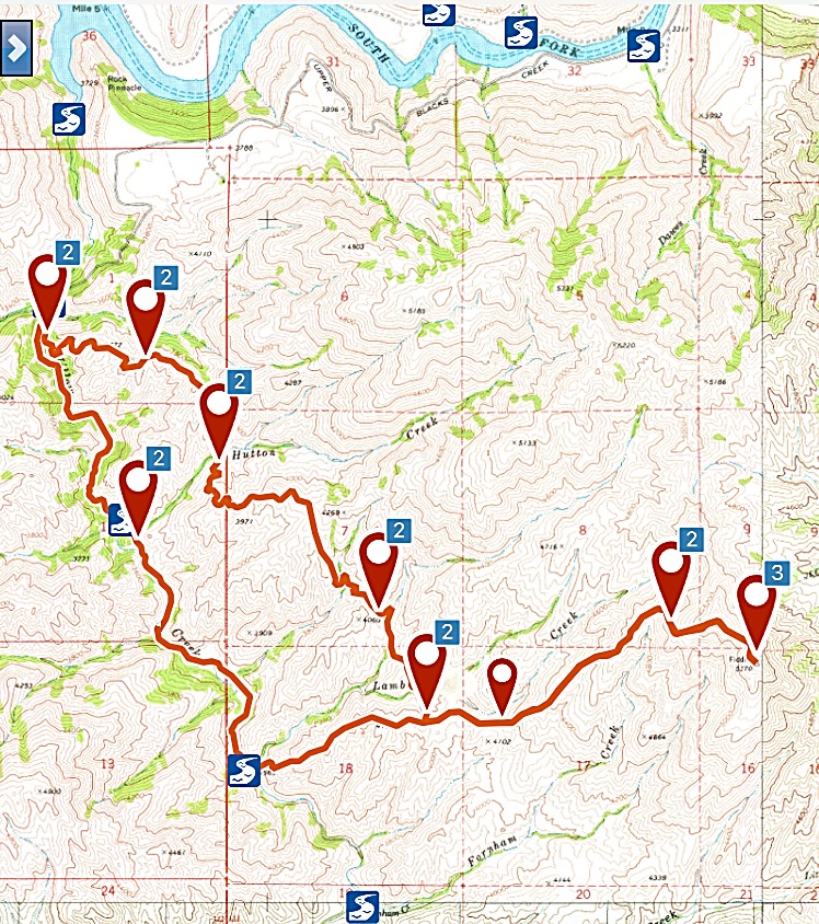
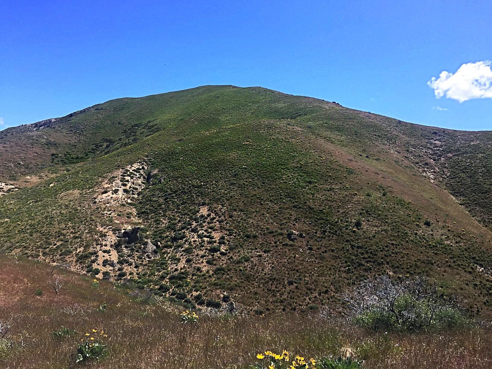
My GPS track for Fiddler Benchmark. Although we made a loop using FST-400 to return, I recommend using FST-410 in both directions. Note: the trails in this section are not shown on the USGS quads. Use the link above to learn more about the trail system.
Hutton Peak to Fiddler BM Traverse by Livingston Douglas
Access
Same as for Hutton Peak. This is the second leg of a 2-peak adventure that includes Hutton Peak (5,331 feet) and Fiddler Benchmark. It begins along Blacks Creek Road. This journey covers 7.5 miles with 3,625 feet of elevation gain round trip.
North Ridge, Class 2
The Climb
From the 4,940-foot connecting saddle with Hutton Peak, follow a MC trail up to the northwest end of the narrow Fiddler Benchmark massif. Climb both of the rocky outcrops at the northwest end of the massif. These outcrops are both higher than the official/BM southeast summit by 5-10 feet according to my altimeter. Of the two outcrops, the southeast one seems to be a bit higher than the northeast outcrop. They are very close in height and visual observation doesn’t clarify the matter.
Continue on to the southeast summit just to make things official. The MC trail will get you there. The southeast summit has a USGS benchmark located in a ground boulder. The southeast summit is 5-10 feet lower than the northwest summit outcrops both visually and by altimeter measurement. The ridge traverse from Hutton Peak requires a whopping 1,850 feet of elevation gain round trip.
The ridge traverse from Hutton Peak to Fiddler Benchmark. Fiddler Benchmark’s multiple summits are left of center. Livingston Douglas Photo
The northwest summit boulders (actual HP) of Fiddler Benchmark as viewed from the southeast. The two rocky outcrops are very close in height. Stand atop both just to be sure. Livingston Douglas Photo
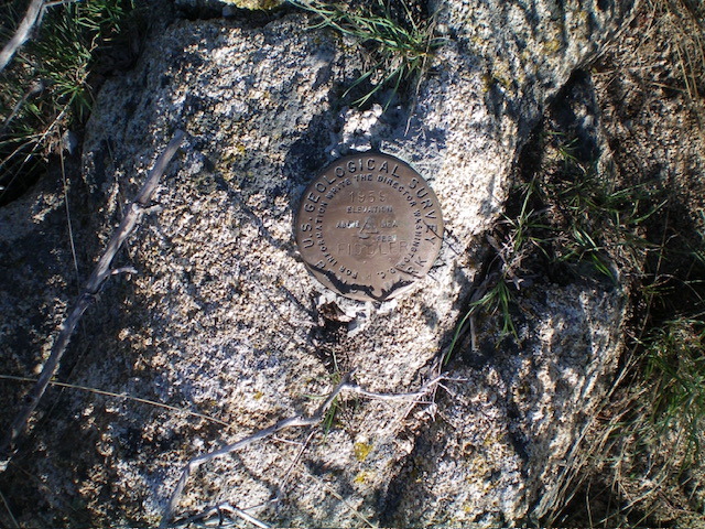
The USGS benchmark atop the official/southeast summit of Fiddler Benchmark. Livingston Douglas Photo
Additional Resources
Regions: Boise Mountains->Danskin Mountains->WESTERN IDAHO
Mountain Range: Boise Mountains
Year Climbed: 2017
Longitude: -115.75139 Latitude: 43.51449