Elevation: 8,642 ft
Prominence: 342
This peak is not in the book. Published August 2019
Little Baldy is located on the western boundary of the Frank Church River of No Return Wilderness, northeast of Landmark and south of Lake Mountain. The peak’s nearly 1-mile long summit ridge encompasses a beautiful rolling meadow. The northernmost high point is the true summit, outdoing the southern summit area by 15 feet. The views from the summit include a huge chunk of the Frank Church River of No Return Wilderness, the Sawtooths, the White Clouds, and the massive Log Mountain/Deadwood Divide. USGS Pistol Lake
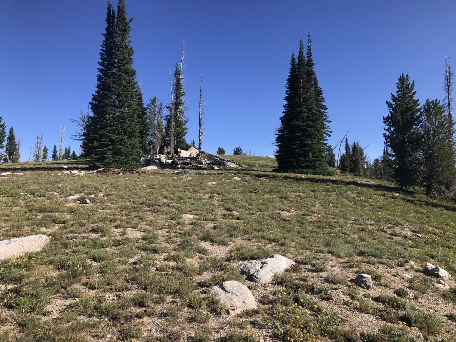
Looking north to the summit of Little Baldy.
Access
To access the trailhead, use the Warm Lake/Landmark/Stanley Road (FS-22/579), which runs across the Salmon River Mountains between ID-55 and ID-21, to reach Landmark, Idaho [(C)(1) on Page 138]. The town of Landmark is no longer in existence, but there is a large airstrip just north of the road. Leave Landmark on FS-477/Burnt Log Road.[(C)(1.4) on Page 140]. Follow Burnt Log Road north for just over 4.0 miles to the signed junction for Artillery Dome Road/FS-477E (not discussed in the book). Turn right and follow this 4WD road east for 2.8 miles to a signed junction for FS-4088. There is barely room for 2 cars to park. If you miss the sign and reach Snowshoe Summit, you have gone too far. There is good camping on the north side of Snowshoe Summit.
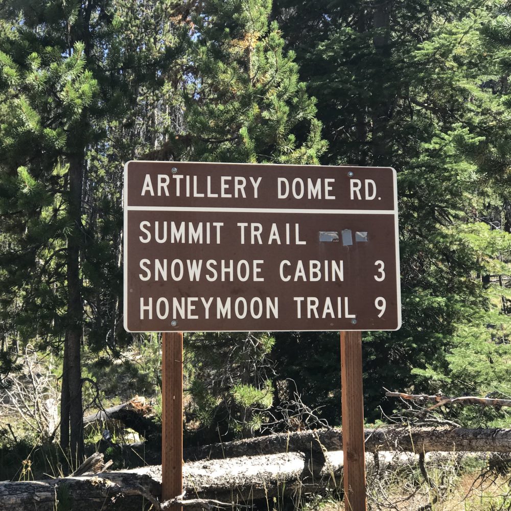
This sign marks the beginning of FS-477E/Artillery Dome Road.
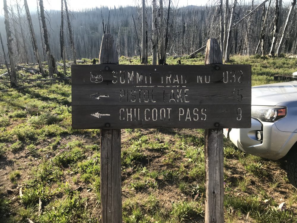
This is the sign marking the FS-4088 trailhead in 2019.
FST-4088 and South Ridge, Class 2
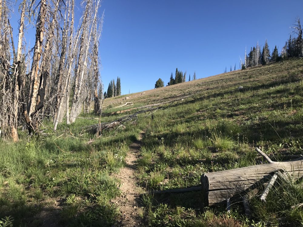
From the trailhead, follow FST-4088 north through a large burn area. The first mile is littered with deadfall but, for the most part, the trail is easy to follow. After winding along the ridge top, the trail drops to an 8,000-foot saddle at the south end of Little Baldy. The trail is hard to see in this grassy saddle but is located exactly as shown on the map. From the saddle, the trail climbs up the flanks of Little Baldy and is easy to follow. Leave the trail at roughly 8,520 feet just below the broad saddle between the peak’s North and South Summits. Follow the broad, grassy South Ridge to the top.
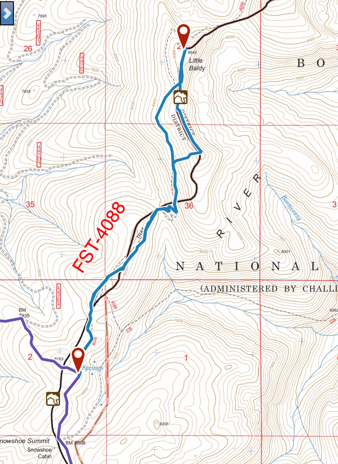
My GPS track for Little Baldy. Round trip stats: 5.6 miles with an elevation gain of 1,025 feet.
Approaching the saddle between the North and South Summits.
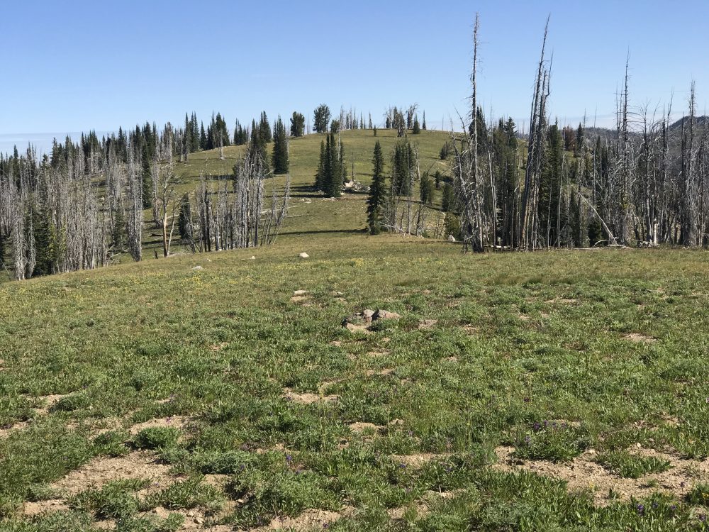
Looking south toward the South Summit from the North Summit.
Use the link below to read John Platt’s trip report for climbing the peak from the north.
Additional Resources
Regions: Central Salmon River Mountains->Johnson Creek - Middle Fork Divide Peaks->Salmon River Mountains->WESTERN IDAHO
Mountain Range: Central Salmon River Mountains
Year Climbed: 2019
Longitude: -115.43189 Latitude: 44.69379