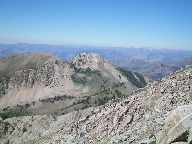
Elevation: 10,292 ft
Prominence: 592
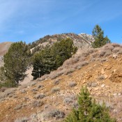
This peak is not in the book. Livingston Douglas provided the Southeast Ridge Route and new photos. Updated November 2022
Paymaster Peak is located on a subsidiary ridge that leaves the main Pioneer Mountains Crest at Big Basin Peak. The ridge divides Hyndman Creek and the East Fork Hyndman Creek. It has four ranked summits. Three of these peaks (McIntyre, Jacqueline, and Paymaster) exceed 10,000 feet. The peak offers a great view of the main Pioneer Mountains Crest (see photos below). USGS Hyndman Peak
Access
Climb this peak from the East Fork Big Wood River Road [(B)(1) on Page 258]. Follow the road for roughly 1.4 miles past the Federal Gulch Campground and park at the base of Paymaster Gulch.
Paymaster Gulch, Class 2
Follow an old two-track road up the gulch. The road ends in less than 0.5 miles. Continue up the drainage. At 7,600 feet, climb out of the main drainage and head north to Point 10193. Follow the connecting ridge from this point to the saddle and then ascend to the summit in another 0.4 miles. The total distance is roughly 6.0 miles with about 3,200 feet of elevation gain.
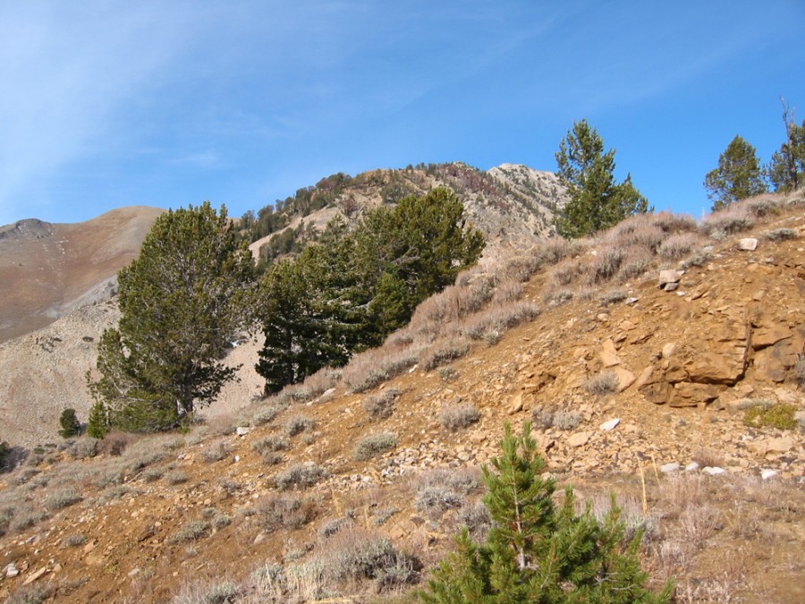
The summit of Paymaster Peak as viewed from the trail. John Platt Photo
Southeast Ridge Route by Livingston Douglas
From the Federal Gulch Campground (11.1 miles up East Fork Road from ID-75), drive 2.4 miles northeast up East Fork Road and park in the grass alongside the road in the forest (or, better yet, park about 100 yards down the road in a nice pullout/campsite on the right/southeast side of the road). My grassy, forested pullout is at 7,445 feet. GPS coordinates: 43⁰41’15”N, 114⁰06’53”W.
Please note that I found no evidence of a 2-track road in Paymaster Gulch and I looked for it twice. It’s probably completely overgrown now. The USGS map shows an old “pack trail” there. I did, however, see a use trail high in Paymaster Gulch where the terrain is wide open. The terrain at the mouth of the gulch is pretty thick forest and brush, so it may be an unpleasant bushwhack up Paymaster Gulch nowadays if the old road/trail has been completely overtaken by Mother Nature in that lower section.
Southeast Ridge, Class 2
The Climb
From the grassy pullout, hike about 100 yards northeast up the road to a clearing below the pine forest. Leave the road and bushwhack northwest up into the thick forest with lots of underbrush, but not much blowdown. Climb up the steep face (then shoulder) to reach “Paymaster Ridge” (just east of Paymaster Gulch). Follow a good use trail then a weaker footpath/game trail on the left/west side of the ridge crest to where it reaches the head of Paymaster Gulch and the toe of the southeast ridge.
Descend north then northwest through easy grass/scrub to cross the multiple dry gullies of Paymaster Gulch and reach the toe of the sagebrush-covered southeast ridge. Bushwhack west to reach the crest of the southeast ridge. The ridge terrain is a combination of sagebrush and talus/scree then firs and talus/scree with a few rocky ridge outcrops thrown in for good measure.
There is even a short talus slope to scramble up. The firs are a real headache and must be worked around or in between. Once above the forested section of the ridge, the terrain is a mix of talus/scree and scrub. After dropping 65 feet from a final ridge hump, climb northwest to the small summit area. The summit has a decent cairn and a nice view of gentle Point 10193 to its south-southwest.
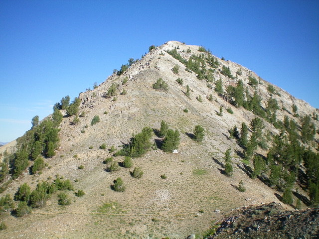
The summit hump of Paymaster Peak as viewed from high on the southeast ridge. Livingston Douglas Photo
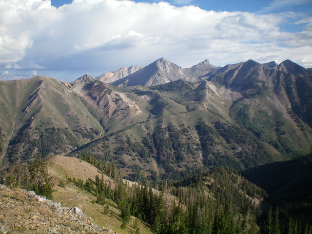
Paymaster Peak (mid-ground, left of center) and its rocky, pyramidal summit. The southeast ridge is whitish rock and is coming at the camera. Paymaster Ridge is in front of it and heads diagonally up and right. Livingston Douglas Photo
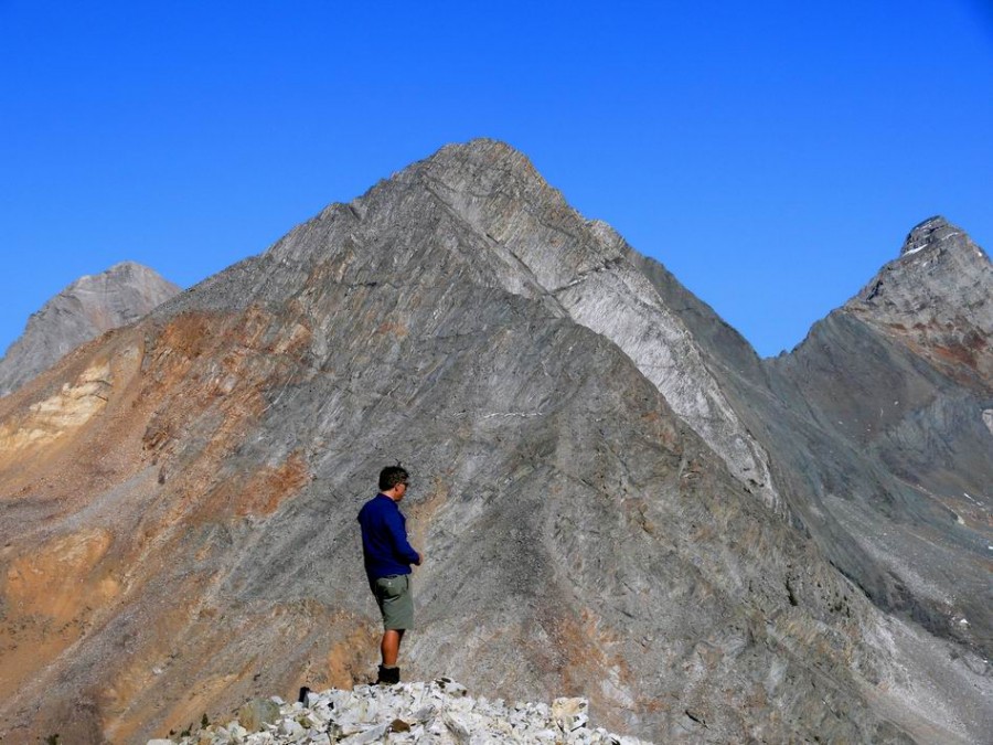
Hyndman Peak, Cobb Peak, and Old Hyndman Peak as viewed from the summit of Paymaster Peak. Basil Service Photo
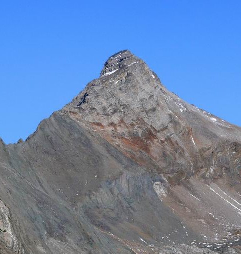
Old Hyndman Peak as viewed from Paymaster Peak.
Additional Resources
Regions: EASTERN IDAHO->Pioneer Mountains
Mountain Range: Pioneer Mountains
Year Climbed: 2008
Longitude: -114.1301 Latitude: 43.7060
