Elevation: 6,990 ft
Prominence: 410
This peak is not in the book. Margo Mandella provided the northeast ridge route and Livingston Douglas has added the west ridge and south ridge routes. USGS Arco Hills. Updated November 2018
Northeast Ridge by Margo Mandella
Peak 6990 is located near Jumpoff Peak in the southern Lost River Range. Located west of the Idaho National Laboratory and ID-22, Peak 6990 and its nearby neighbors (Peak 8383 and Peak 7194) make a good, early-season peakbagging loop. We climbed these three peaks on March 29, 2018, and came in from Deadman Flats on the east side of the range.
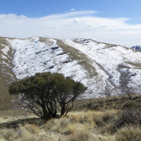
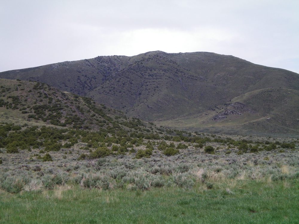
Peak 7194 (left back) and Peak 6990 (front center). Steve Mandella Photo
Access
Take Bureau of Land Management (BLM) Road 1259/Deadman Canyon Road, which leaves the West Side of ID-22 along Deadman Flats toward Deadman Canyon. This road is open all year. After heading north a bit, the road takes a large, long turn to the northwest. Along this curve, a jeep trail intersects the road from the north. This trail parallels an intermittent stream, but there are no pullouts for parking. Sagebrush is thick and turning around is difficult but doable in only a few locations. We were able to travel as far as the worst ruts, but most people probably won’t want to travel much past the junction of the jeep trail with Deadman Canyon Road.
Note: A recent rain-on-snow event made travel difficult without a high-clearance 4WD vehicle starting in the lower Deadman Flats area. Even with a high-clearance 4WD vehicle, we were stopped short of where we wanted to go on both roads we traveled. Camping is allowed anywhere on BLM-managed public land. However, the Deadman Canyon area is thick with sagebrush and is heavily grazed. The only flat, sagebrush-free spot suitable for camping was at the junction of Deadman Canyon Road and the jeep trail heading north (i.e., the previously-mentioned intersection). It was a great spot to camp in March, but probably not so great once the cows and people are out later in the year.
Northeast Ridge, Class 1
Peak 6990 has a jeep trail that goes from Deadman Canyon to the summit plateau. The jeep trail peters out near the summit but a faint hiking path remains for the last few yards. The trail is visible on Google Earth.
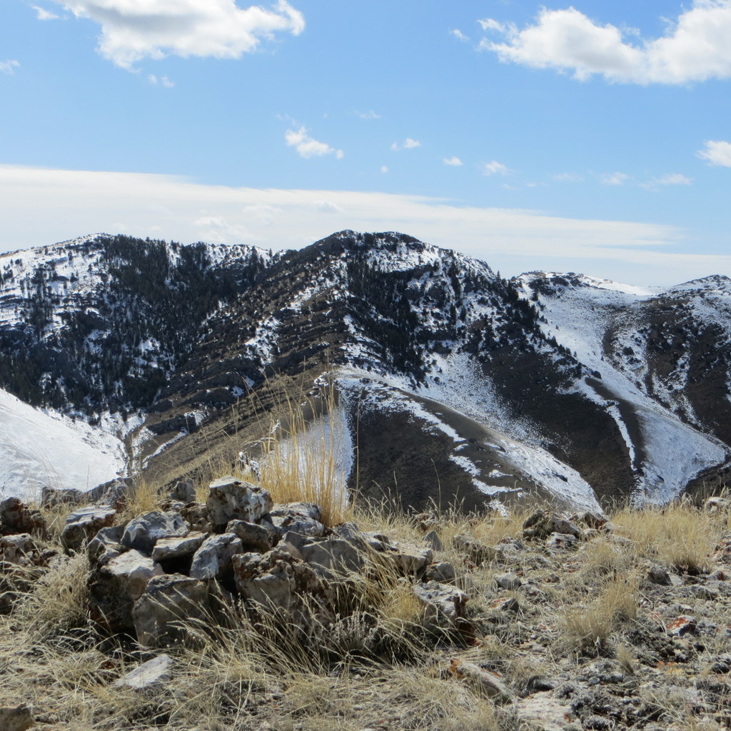
The summit of Peak 6990 with Arco Hills High Point in the background. Steve Mandella Photo
We climbed this peak as a loop hike with Peak 8383 and Peak 7194. See our route description and GPS track for Peak 8383 for more details.
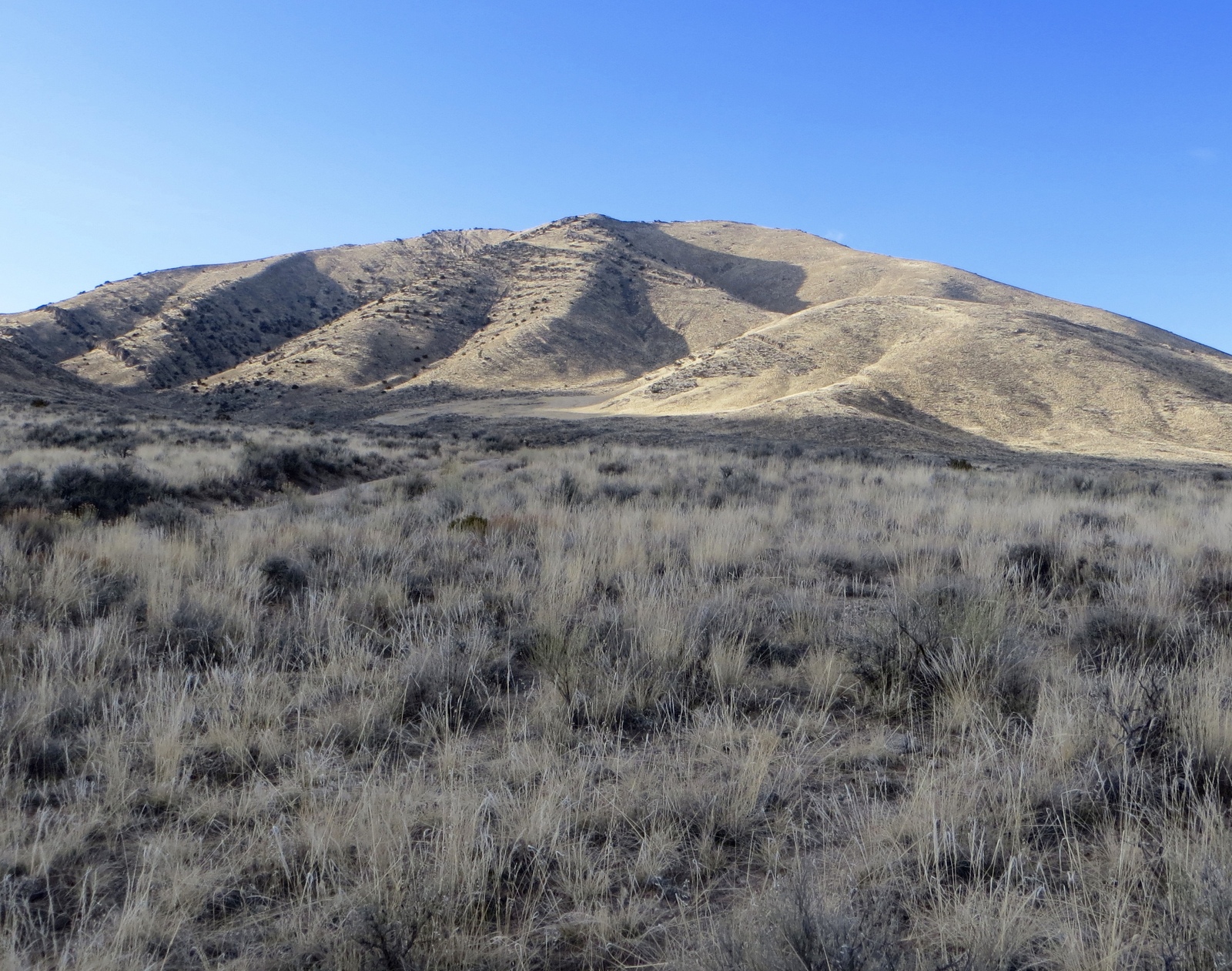
Looking at Peak 6990. Steve Mandella Photo
West and South Ridges by Livingston Douglas
Peak 6990 is a gentle mountain that sits at the head of Deadman Canyon. It has old 2-track jeep roads on both its west ridge and northeast ridge. The easiest ascent is via an old jeep road that comes up from Deadman Canyon to reach the saddle at the base of the west ridge. From there, a 2-track jeep road goes up the west ridge and then disappears about halfway up the ridge at a horizontal cliff band on the ridge. It is an easy ridge scramble from there to the summit. The south face offers a few aesthetically beautiful lines to either climb or descend.
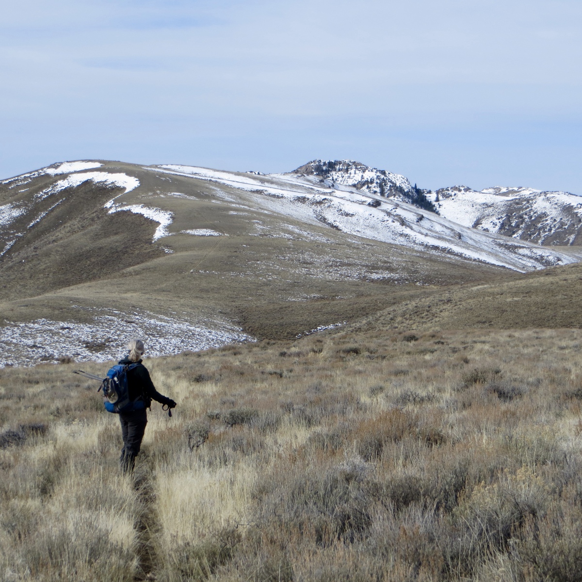
The south aspects of Peak 6990. The south ridge–WEST Route follows the ridge line just left of center. The west ridge route follows the left skyline—it looks longer than it really is (0.8 mile). Livingston Douglas Photo
West Ridge, Class 2
Access
Same as for the southeast ridge of Arco Hills HP. This route is the final leg of a ridge traverse from Arco Hills HP to Peak 6990.
The Climb
From the saddle at the base of the west ridge, follow an old 2-track road up the ridge crest. About halfway up the ridge, the road ends at a cliff band that crosses the ridge. Scramble up over the cliff band and continue over a few more ridge humps to reach the true summit of Peak 6990. The summit is a rock-and-scrub hump. The west ridge is open scrub and, with or without an old road, is an easy climb.
South Ridge—WEST, Class 2
Access
Same as for the west ridge. This route is the final leg of a loop route that begins and ends at a cistern at the mouth of Deadman Canyon.
The Descent
From the true summit, descend south about 250 vertical feet. At this point, the ridge forks as the south face is split by a large gully. Either fork will work. We will follow the right/west fork. Follow the ridge line as it drops south-southwest through moderately-steep sagebrush and scree to reach a jeep road that climbs northwest to reach the base of the west ridge at a saddle. This road also leads southeast then south to the cattle cistern at the base of the southeast ridge of Arco Hills HP, the beginning of today’s journey.
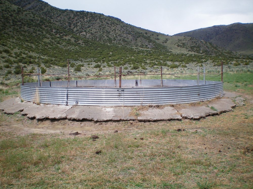
The cattle cistern/parking area for both the west ridge and the south ridge—WEST routes. Livingston Douglas Photo
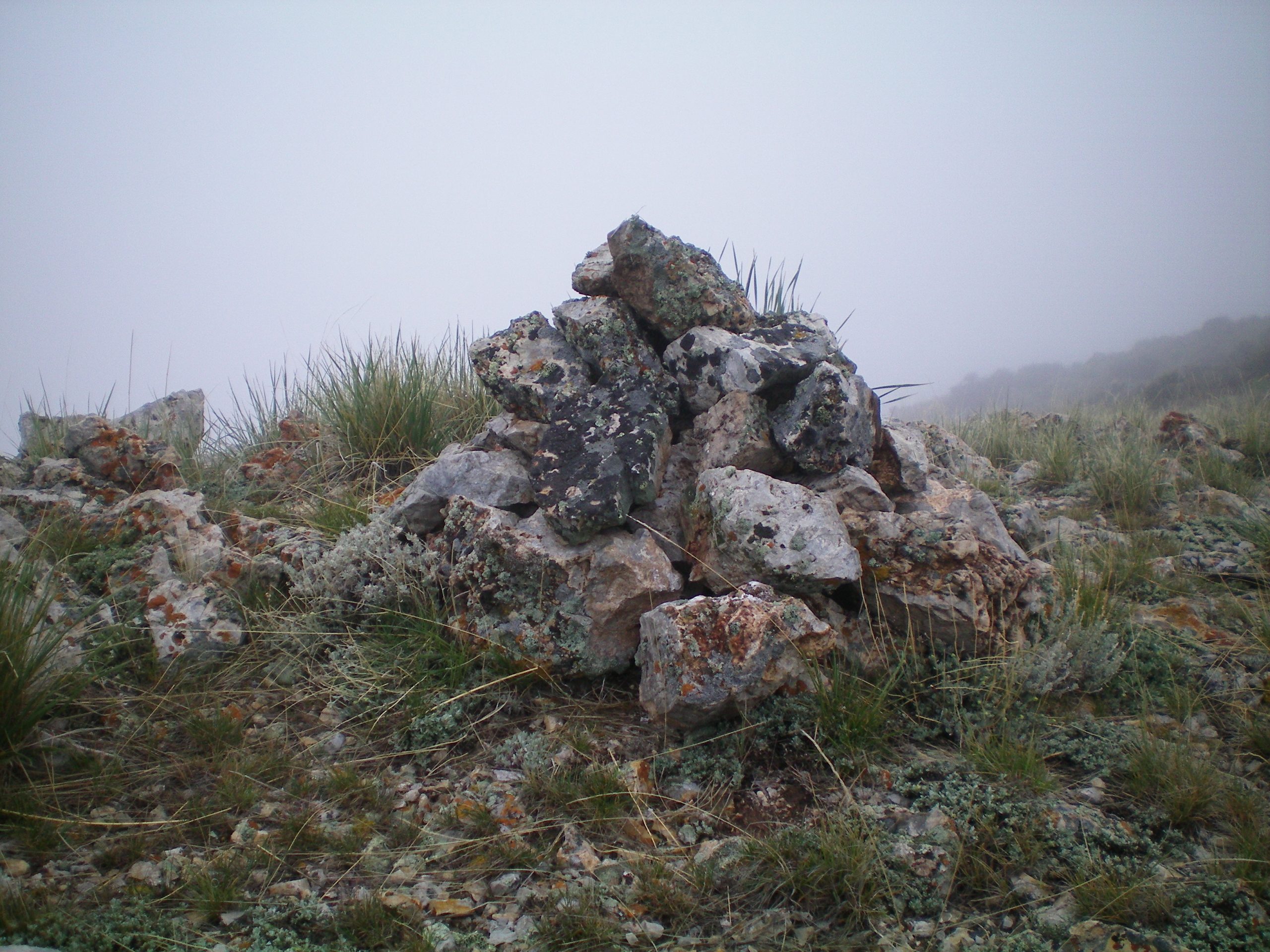
The summit cairn atop Peak 6990. Livingston Douglas Photo
Additional Resources
Regions: EASTERN IDAHO->Lost River Range
Mountain Range: Lost River Range
Longitude: -113.14179 Latitude: 43.67449