Elevation: 9,381 ft
Prominence: 401
This peak is not in the book. Published November 2020
Peak 9381 is the second of four peaks on the south side of Webber Creek (Peak 8613, Peak 9381, Peak 9499, and Peak 9700) that make for a good loop route. This journey covers 11.5 miles with 5,375 feet of elevation gain from the Webber Creek Trailhead so it is not for the faint of heart. It is almost entirely ridge climbing and bushwhacking with very little trail hiking. Peak 9381 is most easily reached from the Myers Creek ATV Trail/FST-191 to the south. USGS Heart Mountain
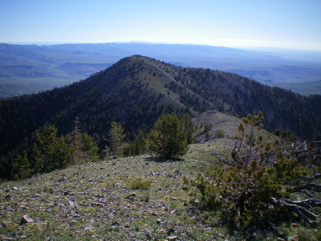
Peak 9381 as viewed from Peak 9499 to its southwest. The easy southwest ridge of Peak 9381 is facing the camera. Livingston Douglas Photo
Access
Same as for Peak 8613. This is the second leg of a four-peak journey.
Northwest Spur/North Ridge, Class 2
The Climb
From the connecting “saddle” with Peak 8613 at 7,620 feet, cross [small] McNeary Creek on a fallen log and bushwhack steeply southeast up a thickly-forested slope (lots of brush here too). The northwest ridge becomes better defined at about 8,000 feet and the slope eventually eases. There is a game trail on the rounded ridge crest for a while. The ridge reaches a steep section higher up (at about 8,750 feet) and pushes you left/east up onto the open, rocky north ridge of Peak 9381. The north ridge is narrow, rocky, and somewhat congested with ridge firs and some blowdown, but it goes reasonably well. The summit of Peak 9381 is small and open and has a decent summit cairn.
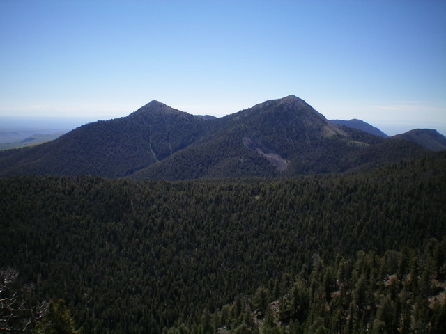
Peak 9381 is the bare left hump in the distance, as viewed from across Webber Creek to the north. Livingston Douglas Photo
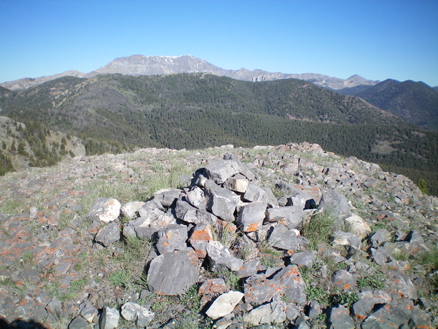
The summit area of Peak 9381. Livingston Douglas Photo
Southwest Ridge, Class 2
The Descent
From the summit, descend southwest on easy, open scrub and scree to reach the 8,980-foot connecting saddle with Peak 9499. This concludes the second leg of today’s adventure. Peak 9499 is up next.
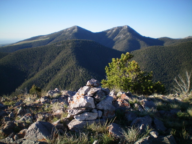
The twin humps, Peak 9381 (left) and Peak 9499 (right) as viewed from the northwest. Livingston Douglas Photo
Additional Resources
Regions: Beaverhead Range->EASTERN IDAHO
Mountain Range: Beaverhead Range
Longitude: -112.69809 Latitude: 44.33449