Elevation: 8,414 ft
Prominence: 554
This peak is not in the book. Updated September 2023
Pearl Benchmark is the northern terminus of a long Lick Creek Range ridge that parallels the North Fork Payette River on its west side and runs south to Beaverdam Peak. This peak was once used as fire lookout. While there was never a structure on the summit you can still find a phone box and wire just below the summit. USGS Box Lake
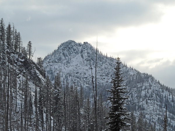
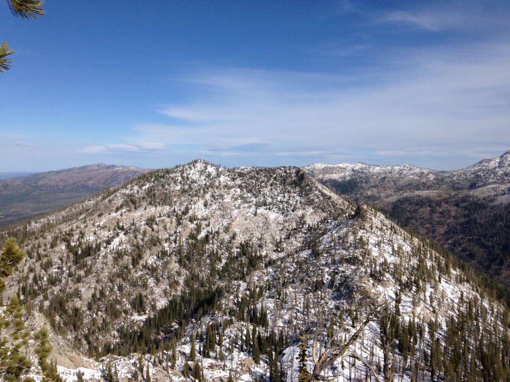
Pearl BM viewed from a point just above the granite bluffs.
Access
The easiest access is from the west. Follow Warren Wagon Road [(B)(2) on Page 135] north from its junction with ID-55 for 14.0 miles to a turnoff FS-432 (which is sometimes signed for the Crestline trailhead). This rough road is passable for Subaru type vehicles. Follow this road as it switchbacks up the mountain for 5.0 miles to its junction with FS-1525. Turn left onto FS-1525 and follow it to its end in another 1.9 miles. FS-1525 is rougher than FS-432 especially in the first 200 yards.
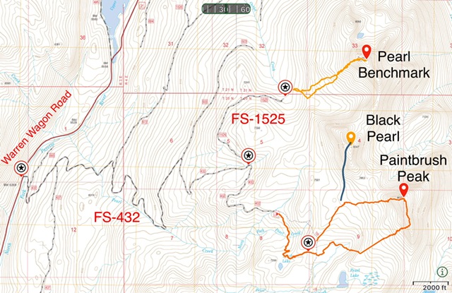
Access and routes for Pearl, BM/Black Pear and Paintbrush peaks.
Southwest Face, Class 2+
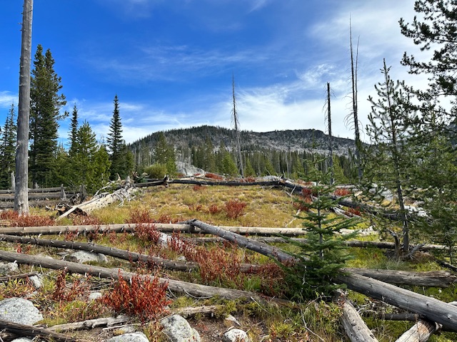
From the end of the road the route climbs due west through scattered brush and downfall to quickly climb above a line of broken granite bluffs. Once above the bluffs climb northwest to the summit. Climb the face using granite outcrops and bear-grass-covered slopes. The crux of the climb is skirting and/or climbing over downfall. The route shown on the map covers 2.3 miles round trip with 1,380 feet of elevation gain.
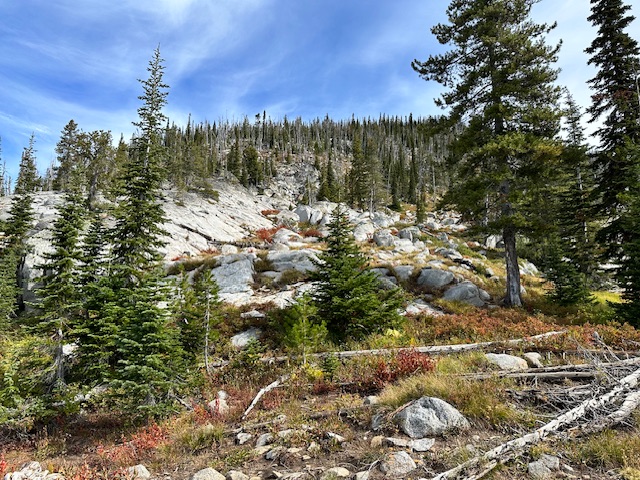
The base of the Southwest Face.
At least two groups have reached the southwest face from the vicinity of Black Pearl Peak. Their route skirted around the base of Black Pearl and then dropped into the drainage below Pearl Benchmark’s South Face. See John Platt’s trip report linked below for his route between the two peaks.
Pearl Peak as viewed from Peak 8347/Black Pearl Peak
Pearl Peak as viewed from the north. John Platt Photo
Additional Resources
Mountain Range: Western Salmon River Mountains
Year Climbed: 2023
Longitude: -115.97189 Latitude: 45.11149