The Albion Range is covered in more detail on Pages 348-351 of the book. All Albion Range peaks covered on this website can be found at this link: Albion Range Updates.
The Albion Range extends 25 miles north from the Idaho/Utah border to a point just southeast of Burley. The range varies in width from 10-25 miles and includes a parallel southwestern ridgeline named Middle Mountain, and an eastern ridgeline known both as the Malta Range and the Cotterell Mountains. On the main Albion crest, Cache Peak reaches an elevation of 10,339 feet, making it not only the highest Albion peak but also the highest point in Idaho south of the Snake River. Other notable peaks include Mount Independence, Graham Peak, Smoky Mountain and Mount Harrison. Check down the page for trail updates.
Cache Peak as viewed from Mount Independence.
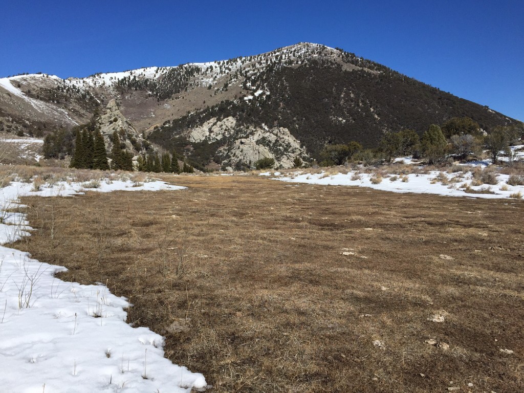
The West Face of Graham Peak as viewed from a point just south of Indian Grove.
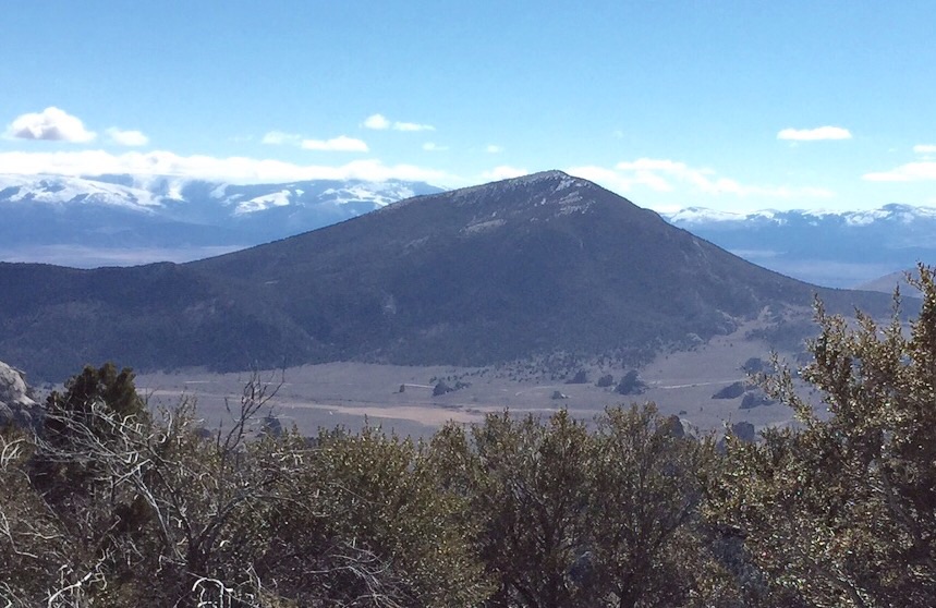
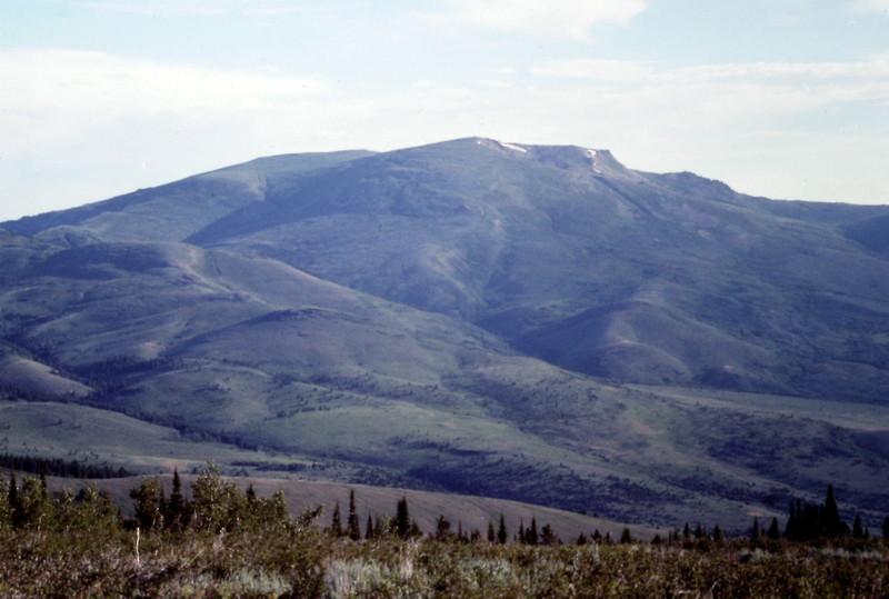
Smoky Mountain as viewed from the slopes of Graham Peak.
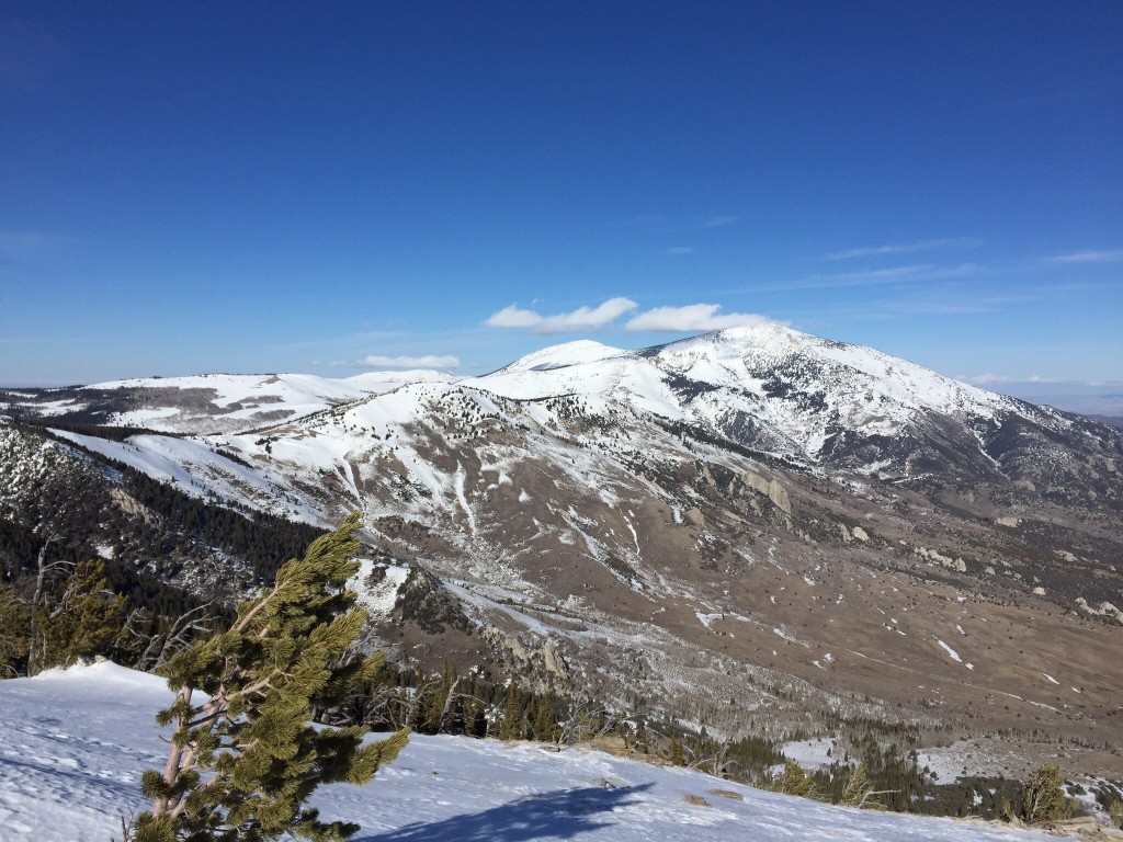
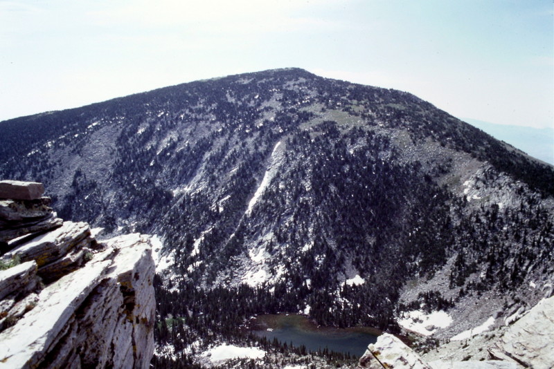
Cache Peak as viewed from Graham Peak.
The southern Albion Range as viewed from Trapper Peak in the South Hills: Mount Independence (left) and Cache Peak (right).
The City of Rocks National Reserve:
The southern end of the range is managed as the City of Rocks National Reserve. The City was famous for two reasons. First, for its spectacular granite formations which charmed travelers on the Oregon Trail. Second, for its spectacular granite formations that have long charmed rock climbers. Get Dave Binghams’ definitive guide, City of Rocks Idaho: A Climber’s Guide, and go climb a rock.
There is no day-use fee or entrance gate at the City of Rocks. There is a parking fee at the Smoky Mountain Campground and a modest $10/night camping fee for the many campsites that are located within the City of Rocks.
The City of Rocks National Reserve is an amalgamation of federal, state and private land. Thus, one needs to be sure that there is public access across the private land in the Reserve. Livingston Douglas researched public access within the Reserve’s boundaries. He reports:
I spoke with the folks at the City of Rocks Visitor Center in Almo about
this private property issue when I was there in September 2018. The Sawtooth National Forest/Minidoka Ranger District Map shows the City of Rocks as a confusing patchwork of National Reserve land, State land, BLM land, and private property. There are areas of private property that are clearly off-limits and are signed as such. For example, I couldn’t climb Peak 7689 (Granite Peak) because of a ranch on its north side that prohibits entry across its land. The land across the road from my route on Smoky Mountain is clearly signed, gated, and fenced as “No Trespassing,” with the landowner living there in a couple of travel trailers.
The managers of the City of Rocks Visitor Center are from the State of
Idaho, not the National Park Service (NPS). Despite the fact that the Reserve is a National Reserve, the NPS does not administer the City of Rocks. No one from the NPS is there. Idaho State Parks administers the City of Rocks, issues parking citations, oversees the many campsites (and collects the fees from campers), and runs the City of Rocks Visitor Center in Almo, ID. Call or visit the Visitor Center in Almo, ID as part of your research on the private property access issues in the City of Rocks. The Visitor Center is well-signed and is located on ID-77 on the south side of the metropolis of Almo. The people at the Visitor Center are the “boots on the ground”, as they say.
They indicated to me that you should obtain permission from landowners before hiking off-trail on private land within the limits of the City of Rocks National Reserve. If you are on-trail, I believe that the City of Rocks National Reserve has easements for the hiking trails. And, of course, the actual large boulders/rock formations are part of the National Reserve and are not an issue. Be sure to inquire at the Visitor Center before crossing private property in the City of Rocks National Reserve, particularly with the July 2018 changes in the State of Idaho’s private property/trespassing laws.
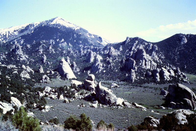
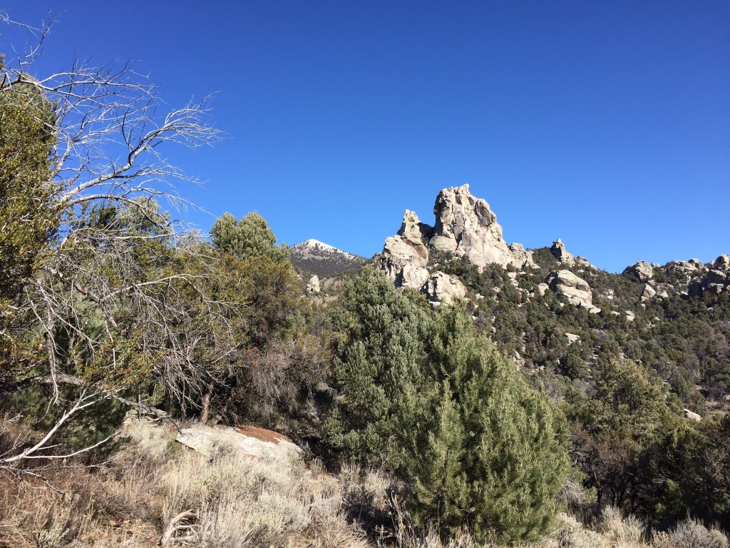
The City of Rocks is a land of granite domes and fins with Graham Peak towering above it.
On the trail to Indian Grove.
Trail Updates
Hannah North provided the following trail information which updates information in the book:
There is a trail to get a person all the way to the top of Graham Peak, but we didn’t send you up because it has too much snow. It’s called Skyline Trail… goes from Indian Grove up around southwest side of Graham Peak.
The Park Service maintains this section of Skyline Trail pretty well. Then from Graham Peak, the trail goes north along the length of Albion Range to near the Pomerelle Ski Area, maybe 70% single track and 30% dirt road. It’s a very scenic trail, I’d guess about 25 miles long. Except for City of Rocks section, the Skyline Trail is not maintained by the Forest Service, so it has deadfall. OK for hikers but not for cyclists or horses. Only portions of the trail still appear on topo maps but more of it is still there.
Another interesting old trail is the Ranger Trail, which circumnavigates Cache Peak at between 8,000′-9,000′, maybe 12 or so miles around. Seems to have vanished off more recent topo maps but it’s mostly still there and scenic. Can combine with ascents of Cache Peak and Mount Independence.
The local epic hike is to start in the City of Rocks, climb Graham Peak, drop down through upper Almo Creek Canyon, climb Cache Peak and then finish at Castle Rocks State Park. A grunt!
The western slopes of Mount Harrison.