
The Owyhee Mountains are discussed on Pages 343-347 of the book. The website contains significant updates and expands on the book’s content. See the Owyhee Mountains Peaks List for all of the peaks in this range discussed on this website. There is a lot of private property in the Owyhees so make sure you hiking routes are on public land.
The Owyhee Mountains are an incredible mountain uplands that are still mostly unknown to most Idahoans. These mountains cover Idaho’s entire southwestern corner and spill into Nevada and eastern Oregon. The range’s terrain varies significantly and is perhaps best known for its many spectacular canyons and slot-like gorges cut through softer volcanic rock. The canyon country is as difficult to access as it is unique. Three Federal designated Wilderness Areas centered around canyons protect large swaths of the range. Hayden Peak, 8,403 feet, is the highest point.
The range’s main crest is often referred to as the Silver City Range. The crest, which trends from northwest to southeast, was forced up by the Owyhee Batholith 40 million years ago. Some geologists believe that Owyhee granite is part of the Idaho Batholith, isolated from the main batholith by the passage of the Yellowstone hotspot. Much of the range’s granite is covered by Miocene rhyolite that erupted as a result of a meteorite impact 17 million years ago. The range is surrounded by the younger volcanic rocks of the Snake River Plain and is still covered in places by extensive deposits of older sedimentary rock. Where Owyhee granite has been exposed to the surface, it has formed impressive outcroppings and an occasional dome.
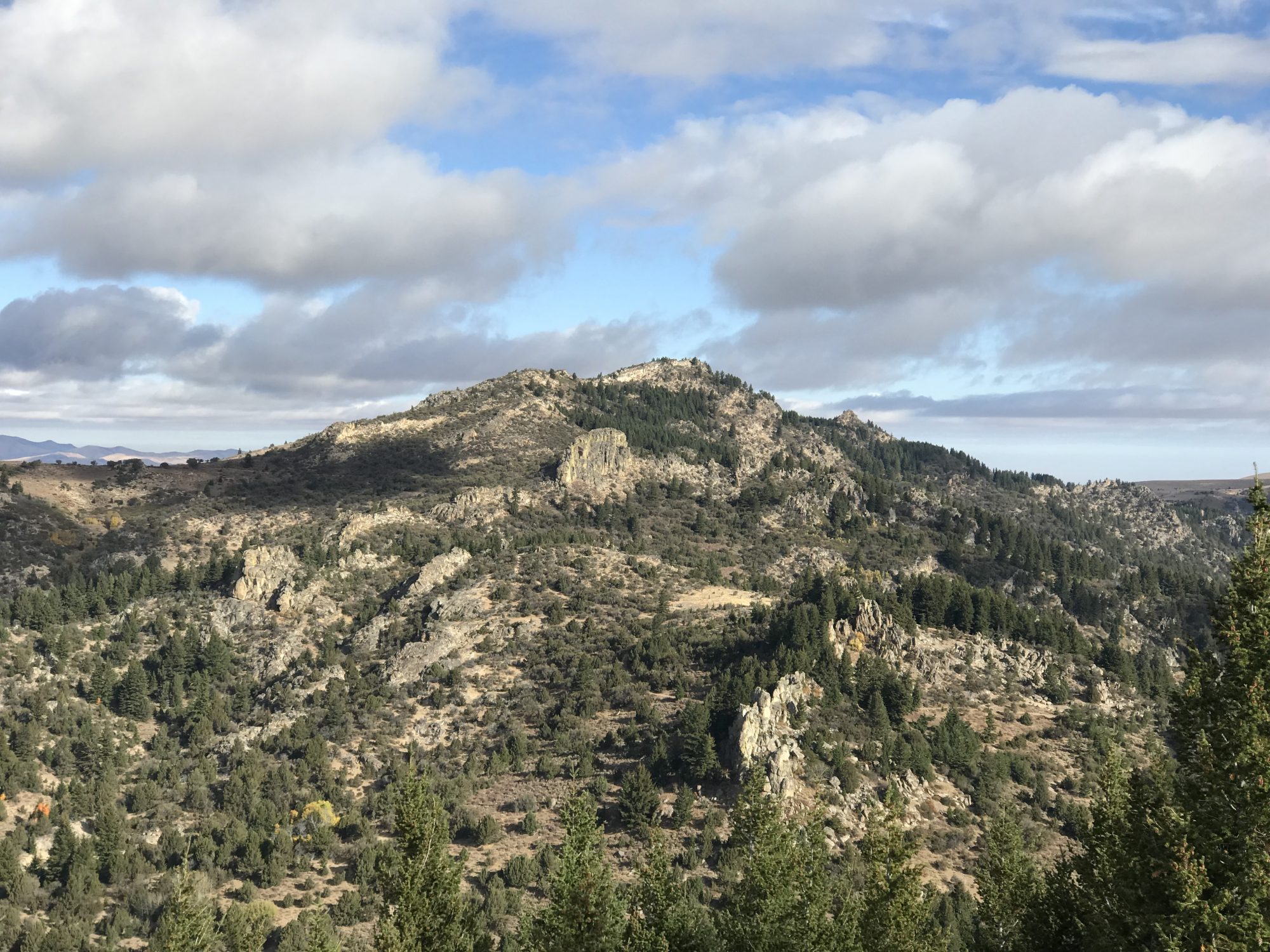
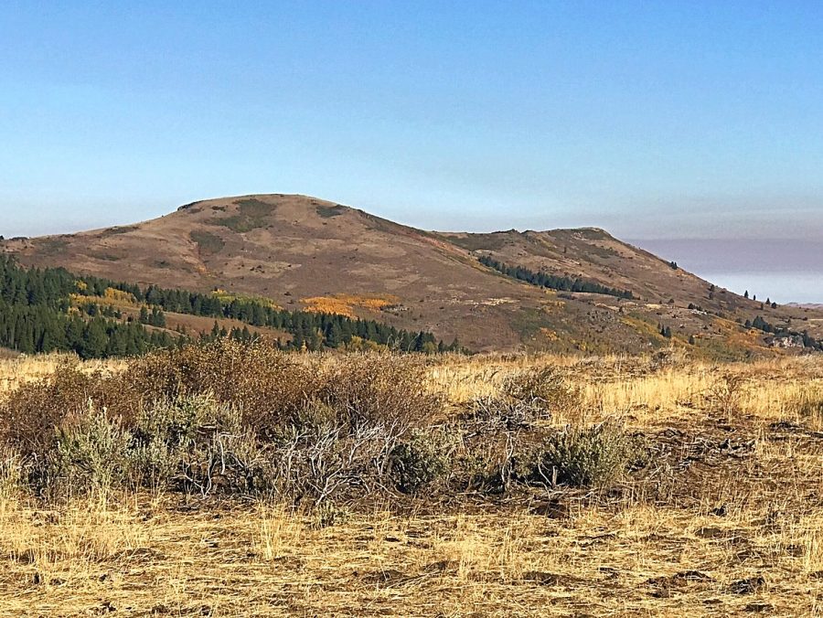
Slacks Mountain as viewed from Peak 7047.
The Owyhee Mountains are mostly drained by the Owyhee River and it’s tributaries. Jordan Creek is one of the most important of these drainages. This creek drains the south side of the main Owyhee crest. It meanders for nearly a hundred miles from its headwaters above Silver City till it reaches the Owyhee River near Rome, Oregon. The creek was named for Michael M. Jordan, who was a member of the party that discovered gold along the creek in 1863.
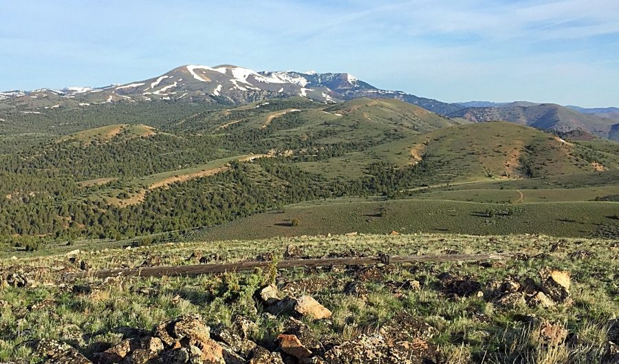
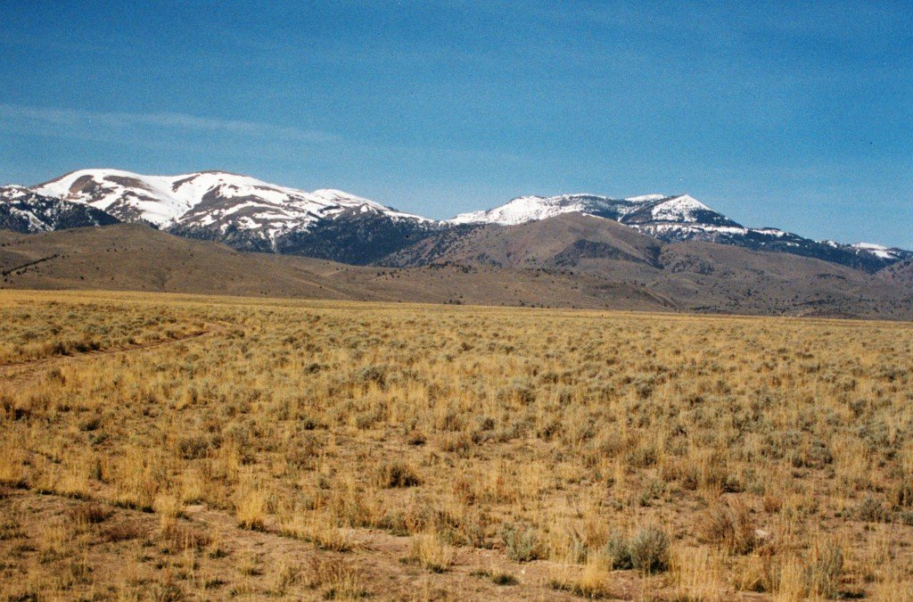
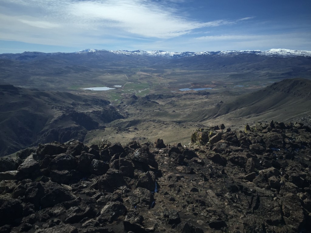
South of the main crest the range quickly looses elevation and forms a high sagebrush and juniper covered uplands that stretches south toward the Nevada border before rising again on South Mountain massive and the dome-shaped Juniper Mountain. These two large peaks cover a lot of empty but unique ground.
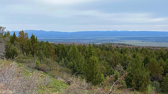
Looking north from Juniper Mountain across the Owyhee Uplands to the main Owyhee Crest.
The human history of these mountains began with Native Americans and stretches through to modern times. In the 1820s trappers explored the range and in the 1860s miners discovered gold on Jordan Creek. The mining boom brought many people and numerous mining towns popped up. While mining fortunes fluctuated cattle ranchers started to claim the bottom lands and then later sheep herders invaded the range. As a result, there is a lot of private property, randomly interspersed throughout the range. The private property is most often although not always closed to the public. [Please read Private Property, the Idaho Code, Trespassing and You by Margo Mandella to help you understand the complications caused by private property.] The BLM and Owyhee County have secured right-of-ways which provide access to most major destinations.
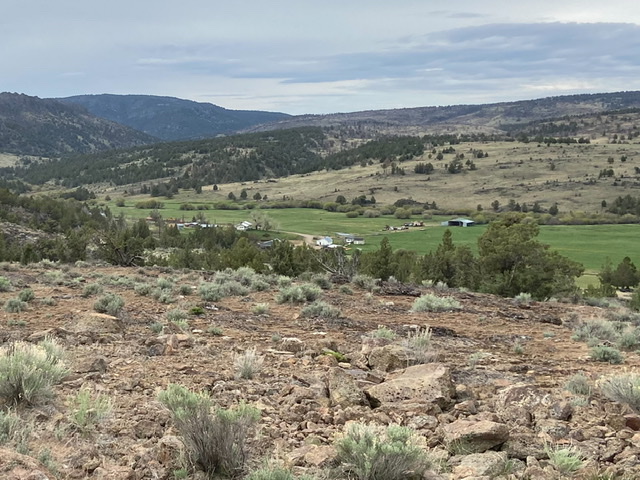
Homesteaders grabbed much of the Owyhee Mountains bottom lands. Today the predecessors of the early settlers maintain isolated ranches.
The majority of Owyhee Mountain mining took place along the Silver City Range and around Silver City. You will find lots of mining relics in this area and a lot of environmental degradation including large open pits on Florida Mountain and Delaware Mountain. Silver City is the only one of the mining towns still extant. It is now a tourist destination favored by ATV and dirt bike enthusiasts in the summer.
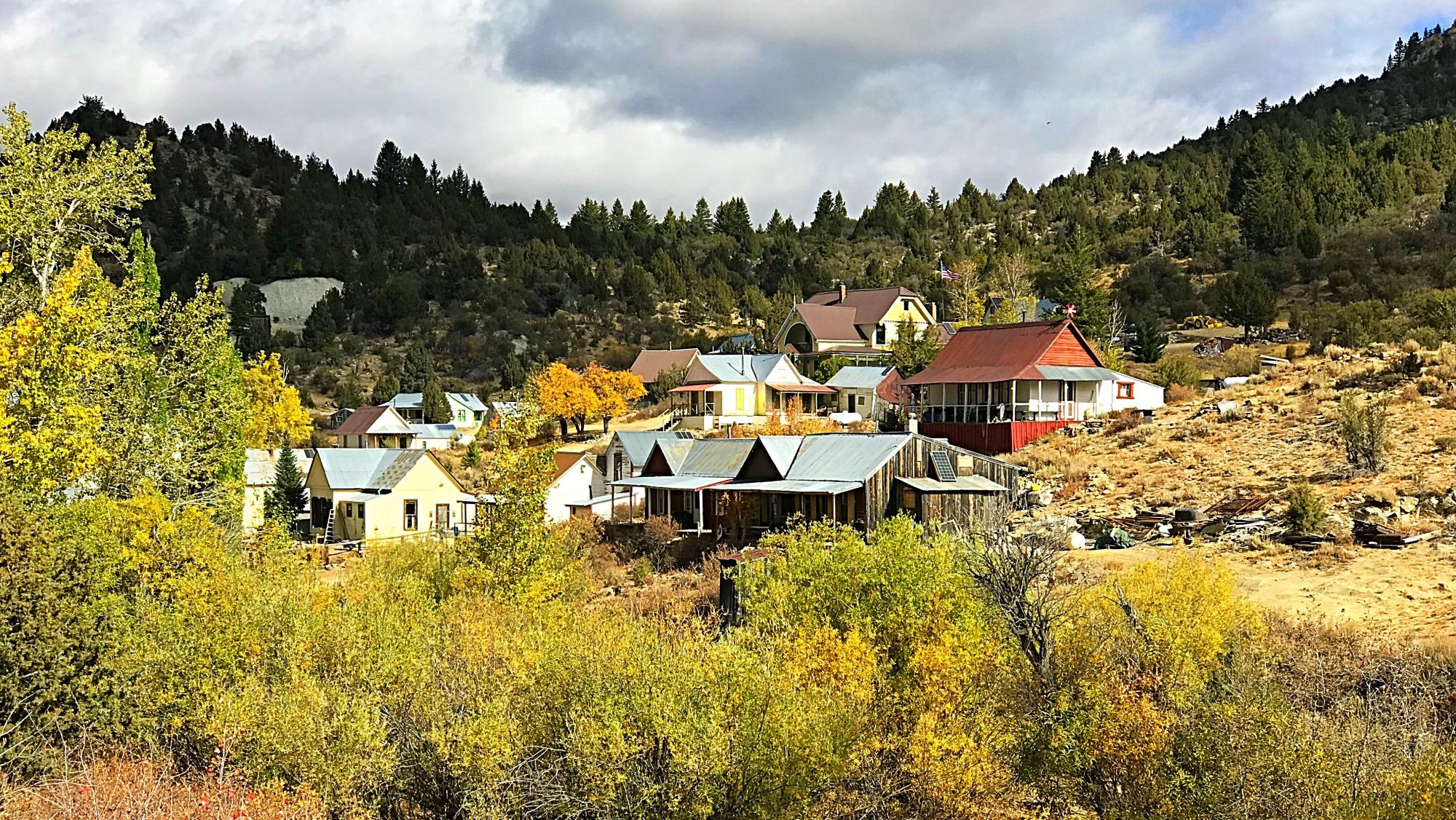
Silver City in the heart of the Owyhee Mountains is as isolated as any Idaho town.
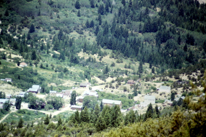
The old mining town of Silver City sits in a basin on the south side of the range’s highest peaks. During the summer and hunting season the area will often be crowded on weekends.
Until recently most climbers and peakbaggers ignore the range because of its long history of mining and its attraction to off-road vehicle enthusiasts. Yes, there are many mining roads and you may run into a dirt bike, but the range is vast. The three wilderness areas are enclosed within its boundaries and the mountains beyond the Silver City area are wild and usually empty. There are 141 peaks (either named or unnamed) in the range. See The Owyhee Mountain Peak list page for all of the peaks. You can also click on the Owyhee Mountains entry for all peaks that I have updated since the book came out and, of course, the book has a lot of additional information on the range.
Looking over Toy Pass toward Quicksilver Mountain from Peak 6302.
The Owyhee Crest looking east to Turntable Mountain (on the right) and Hayden Peak (at the far skyline).
Access Updates: Owyhee Mountains Access is covered on Pages 345-347 of the book. The following updates expand on the book. Additional access information is found on many of the website’s peak pages.
Owyhee Uplands Back Country Byway
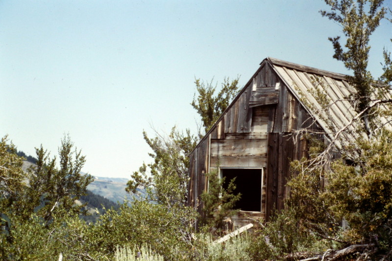
Evidence of the mining era can be found throughout the range.
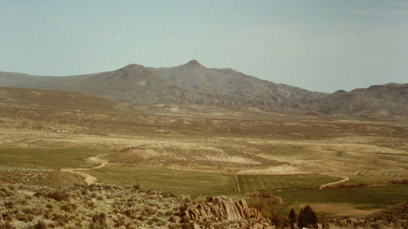
The Owyhee Front as viewed from the Snake River Plain. Quicksilver Peak and Hayden Peak.
Wilson Peak as viewed from Peak 3260.
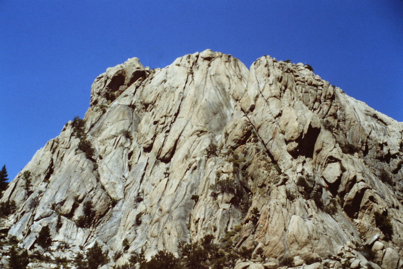
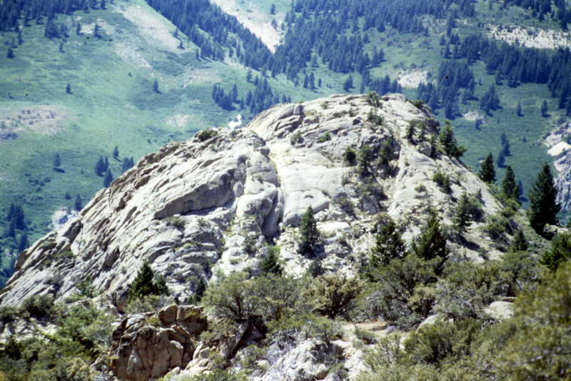
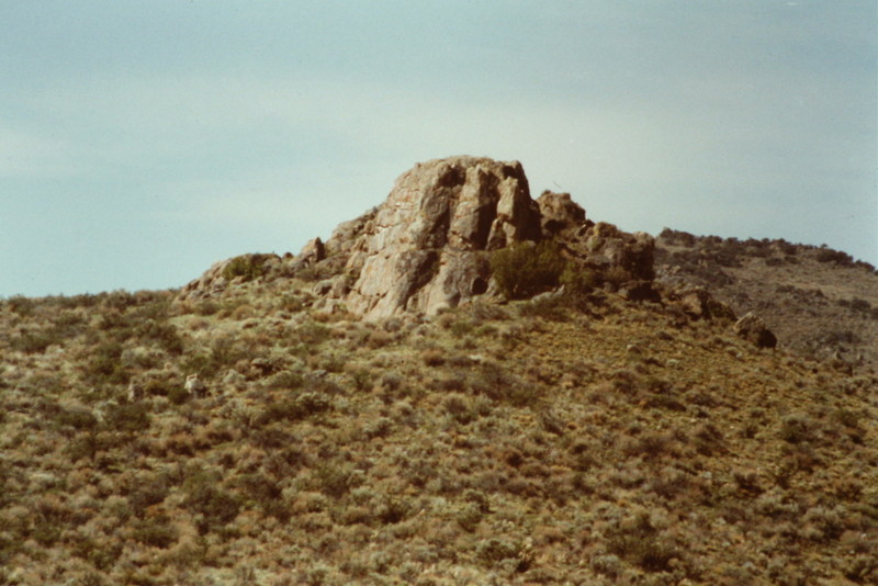
This granite dome is located near Silver City. Despite its fine lines, I have not heard of any rock climbers trying to climb its faces.
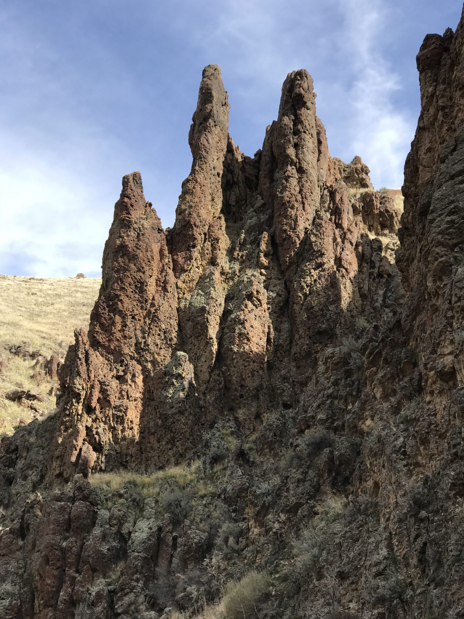
The Owyhee Mountains encompass many impressive canyons. This formation is in Hardtrigger Canyon.
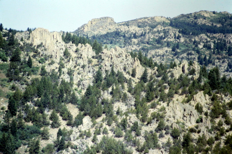
The range even has its own granite badlands.
More granite above Silver City.
The view from the summit of Soldier Cap looking into the Reynolds Creek drainage with the Silver City Range on the skyline.
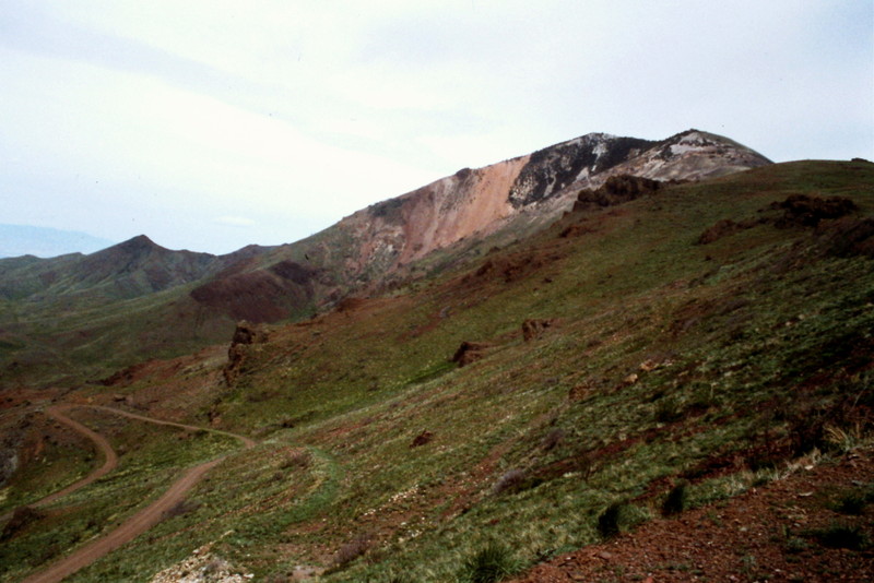
The Northwest corner of the range is more volcanic in nature.
Jacks Benchmark as viewed from the northern Owyhee Mountains Crest Road.
Another view in the northwest corner of the range.
Yet another Northwest corner landscape.
Access in the range outside of the area around Silver City can be problematic, as many roads are not well maintained and private property blocks a lot of areas. No Trespassing signs need to be heeded as the law is usually enforced.
This shot is from the Reynolds Creek area.
This is the view looking east from Quicksilver Mountain.
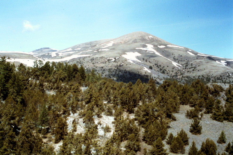
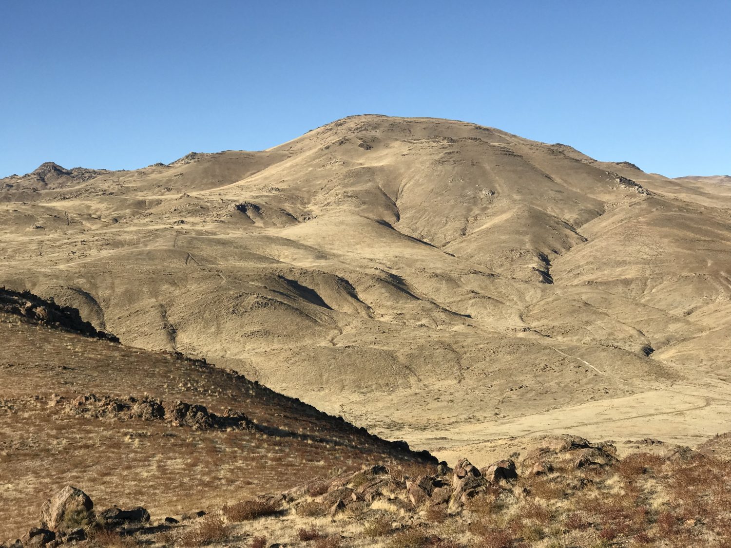
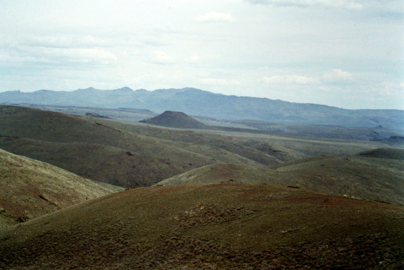
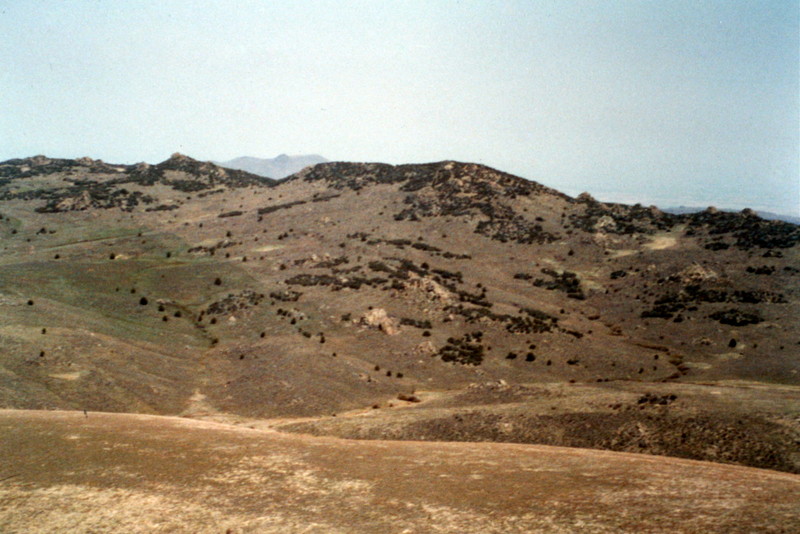
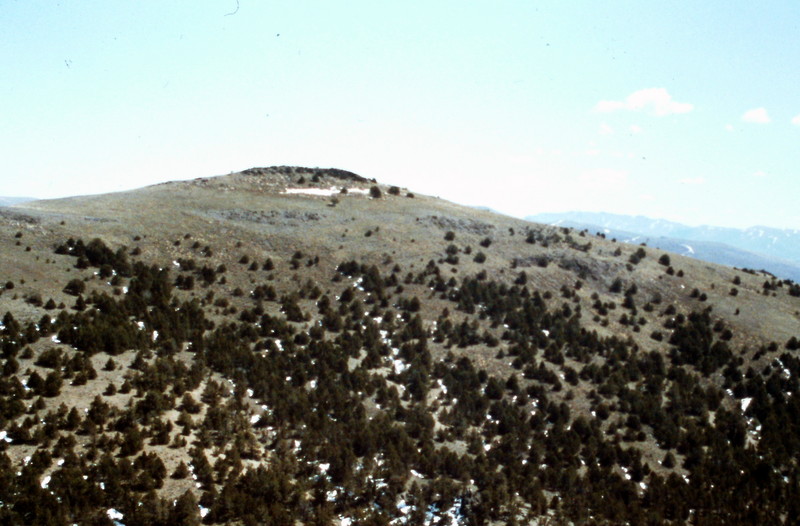
Owyhee terrain varies greatly over the ranges expanse. The highest peaks are clustered around Silver City.
Shares Snout as viewed from the northwest.
Regions: Owyhee Mountains->SOUTHERN IDAHO
Mountain Range: Owyhee Mountains