Elevation: 11,292 ft
Prominence: 392
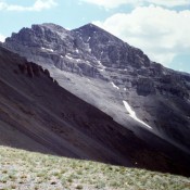
Climbing and access information for this peak is on Page 326 of the book. The access directions in the book are no longer valid due to a road closure. Use the access information set out below. Additionally, I mistakenly placed Huhs Horn in the Beaverhead Southwest Divide in the book. The peak is actually part of the Southeast Divide.
Neil Gleichman contributed an early season snow climb on this peak which is found at this link: Plumb Line. Updated January 2020
Named for Oscar Huh, Rick Baugher first brought this beautiful Beaverhead Range peak to my attention. It is located between Italian Peak and Scott Peak. It has become popular with Idaho climbers over the past 20 years and it is likely that it is climbed almost as often as the range’s highest peak, Scott Peak. Use the link below to read Rick’s remembrance of Oscar. USGS Scott Peak
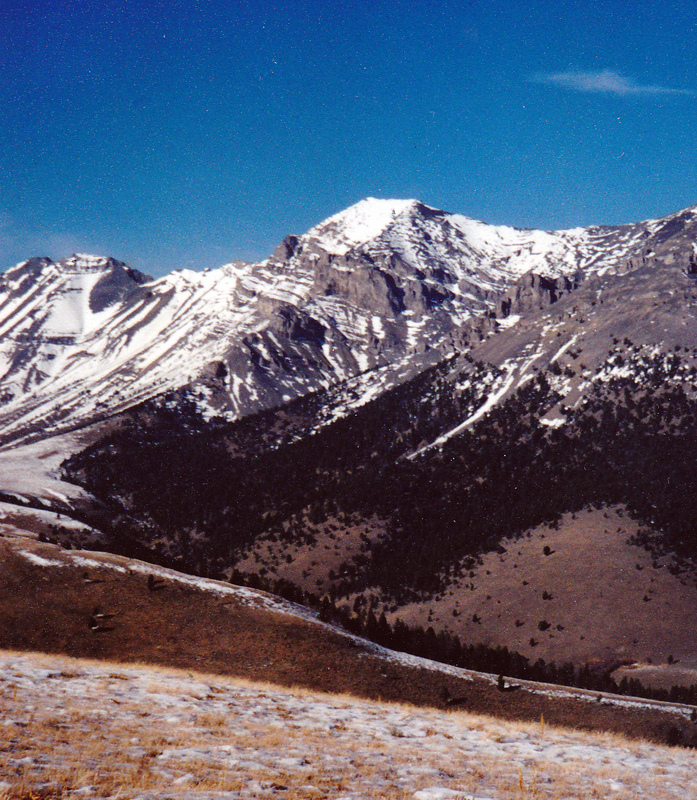
This view is north to Huhs Horn from the low point on the Beaverhead Range’s Southwest Divide. Italian Peak is on the far left. The Continental Divide Trail leaves the ridge crest midway between Italian Peak and Huhs Horn. Rick Baugher Photo and Commentary
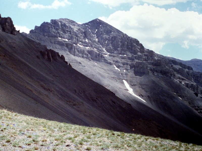
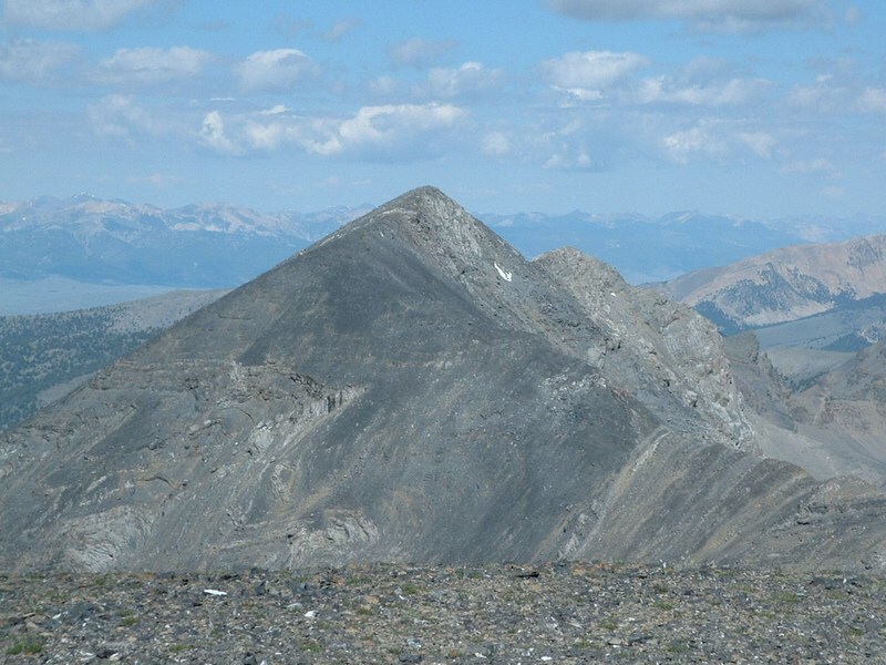
Huhs Horn as viewed from the 10,020-foot saddle on the West Spur of Italian Peak. It looks directly east across the head of Scott Canyon.
Access by Livingston Douglas
From the junction of ID-28 and ID-33 in Mud Lake, drive N on ID-28 for 42.5 miles to [signed] Nicholia Road. Nicholia Road is located 6.1 miles N of the Kaufman Picnic Area on ID-28. Turn R/NNE onto Nicholia Road and drive 3.1 miles to an unsigned junction with a dirt road that runs southward at the base of the mountains. Drive 4.5 miles S on this dirt road to reach an unsigned L turn for Scott Canyon. You will pass 2 turnoffs for Eidelman Canyon (at 0.9 miles and 1.6 miles), a turnoff for Italian Canyon (at 2.5 miles), and a sign for Irish Canyon (at 3.7 miles) on the way.
At 4.5 miles, reach an unsigned left turnoff for Scott Canyon Road. Reset your odometer. At 0.3 miles, enter the Targhee National Forest (signed). The road is now officially FSR-190. At 1.8 miles, pass Blind Canyon (signed on left). At 2.9 miles, reach an unsigned road junction. FSR-190/Scott Canyon Road is badly rutted past this point. You may want to park on this old side road if necessary (7,509 feet). If your vehicle and road conditions permit, drive another mile to the end of FSR-190 at 3.9 miles. This is the parking area for two trails: FST-006 and FST-174. FST-006 is a MC trail that heads up Scott Canyon. The trailhead parking area is a large grassy meadow at a fork in the canyon. There are some shaded, dispersed campsites on the R/S side of the meadow.
East Ridge, Class 2+
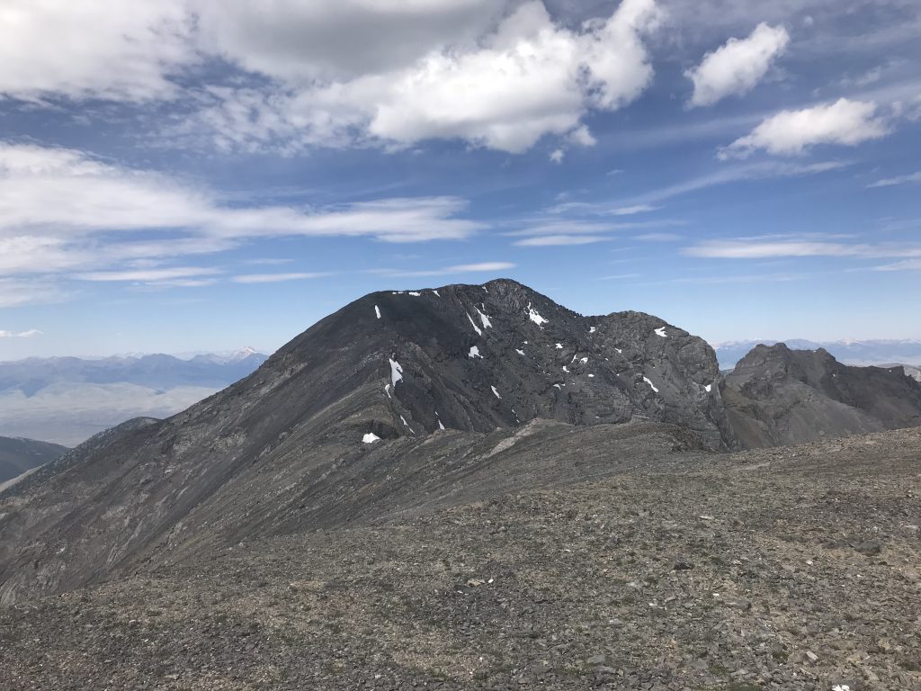
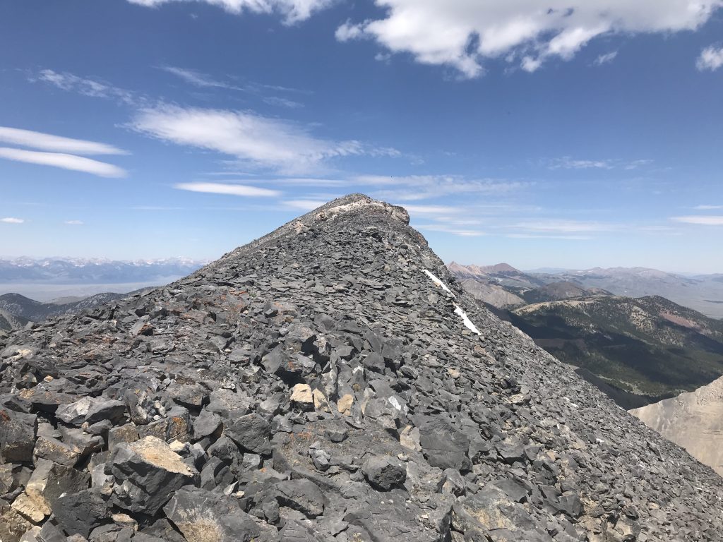
Descend west from Scott Peak on stable talus to the Scott Peak/Huhs Horn saddle. From the saddle, follow the East Ridge to the summit. There are numerous rocky steps along the way. They can all be bypassed on the south side of the ridge where there are broken goat trails.
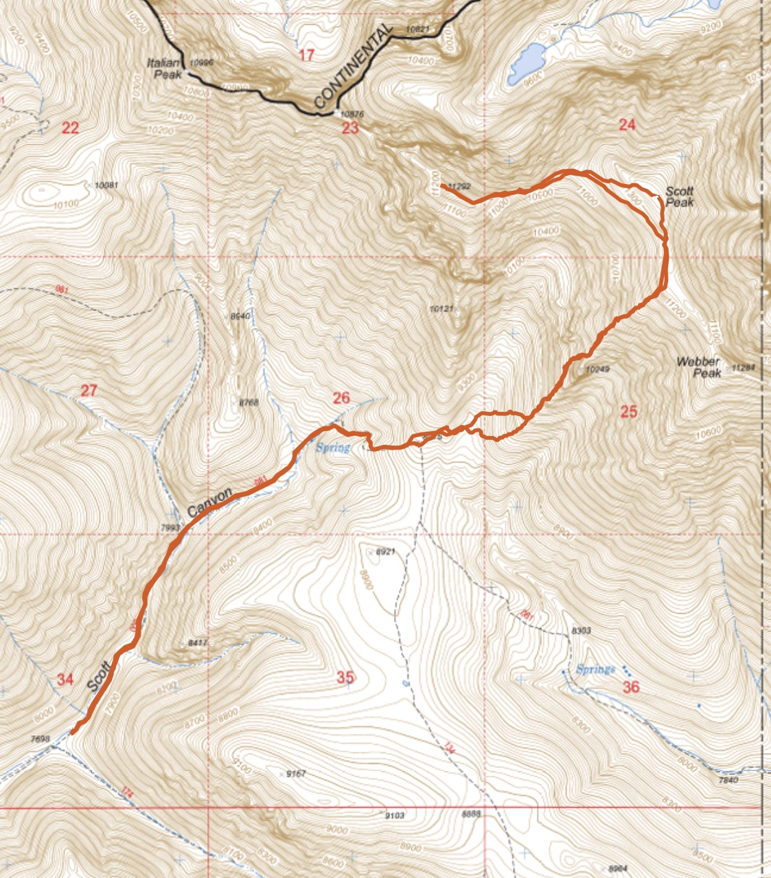
My GPS track for Scott Peak and Huhs Horn. Round trip stats: 8.8 miles with 4,315 feet of elevation gain.
A few more photos.
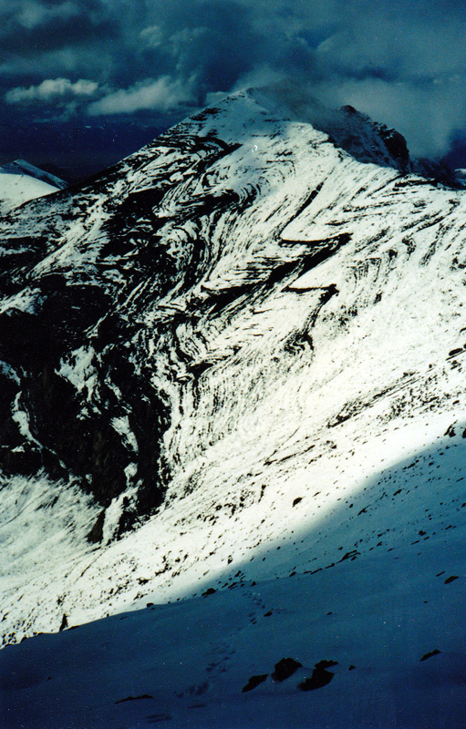
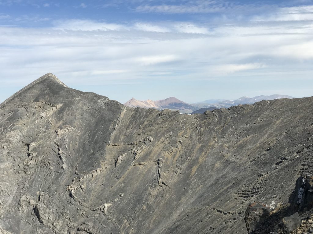
Note the contorted limestone chevron folds on the Southeast Face of Huhs Horn. This photo was taken while descending the headwall of Scott Peak. Rick Baugher Photo and Commentary
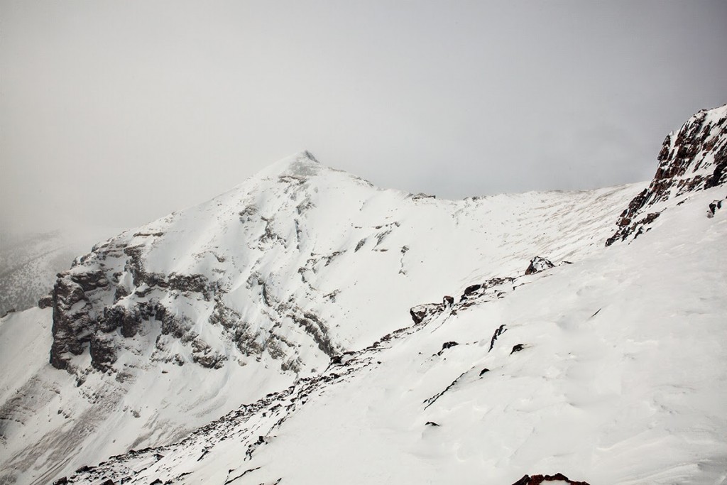
A Winter view of Huhs Horn. Larry Prescott Photo
Additional Resources
Regions: Beaverhead Range->EASTERN IDAHO
Mountain Range: Beaverhead Range
Year Climbed: 2018
Longitude: -112.83669 Latitude: 44.35429
