Elevation: 4,767 ft
Prominence: 307
This peak is not in the book.
Peak 4667 is located in the West Mountains on the Washington-Payette County line. It is a rather nondescript peak, but it is often ascended because its slightly-lower South Summit is the highest point in Payette County. This section of the West Mountains is managed by the BLM as a wild horse range and is almost completely treeless. USGS Coonrod Gulch
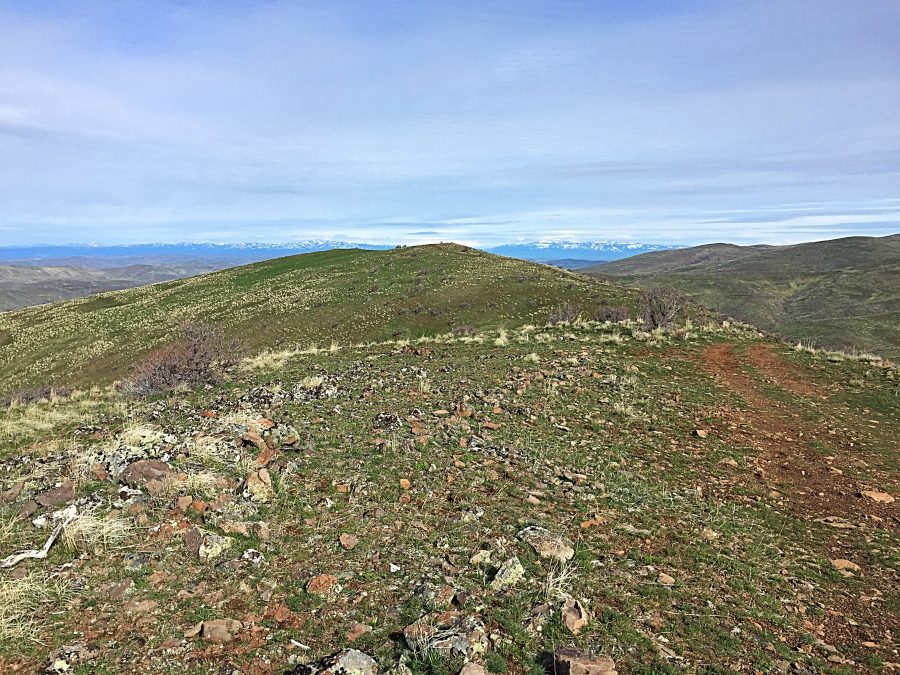
Peak 4767 as viewed from the west.
Access
Access this peak from Emmett, ID and ID-52, which runs north through downtown Emmett. From the junction of ID-16/ID-52, follow ID-52 north to a 4-way intersection. ID-52 turns east toward Horseshoe Bend, but continue straight through the intersection on the Black Canyon Road for 4.3 paved miles. When the road turns to gravel, continue for another 8.7 miles. The road reaches a creek bottom at a junction.
Take the left fork (Fourmile Creek Road) which goes up Fourmile Creek. Fourmile Creek Road is occasionally maintained and can be rough if not recently graded. Drive another 5.8 miles to a signed pass on the the Payette-Washington County line. A 4WD road leaves the road at the pass and leads to the east, crosses a meadow, and climbs to the summit in 1.8 miles with around 800 feet of elevation gain.
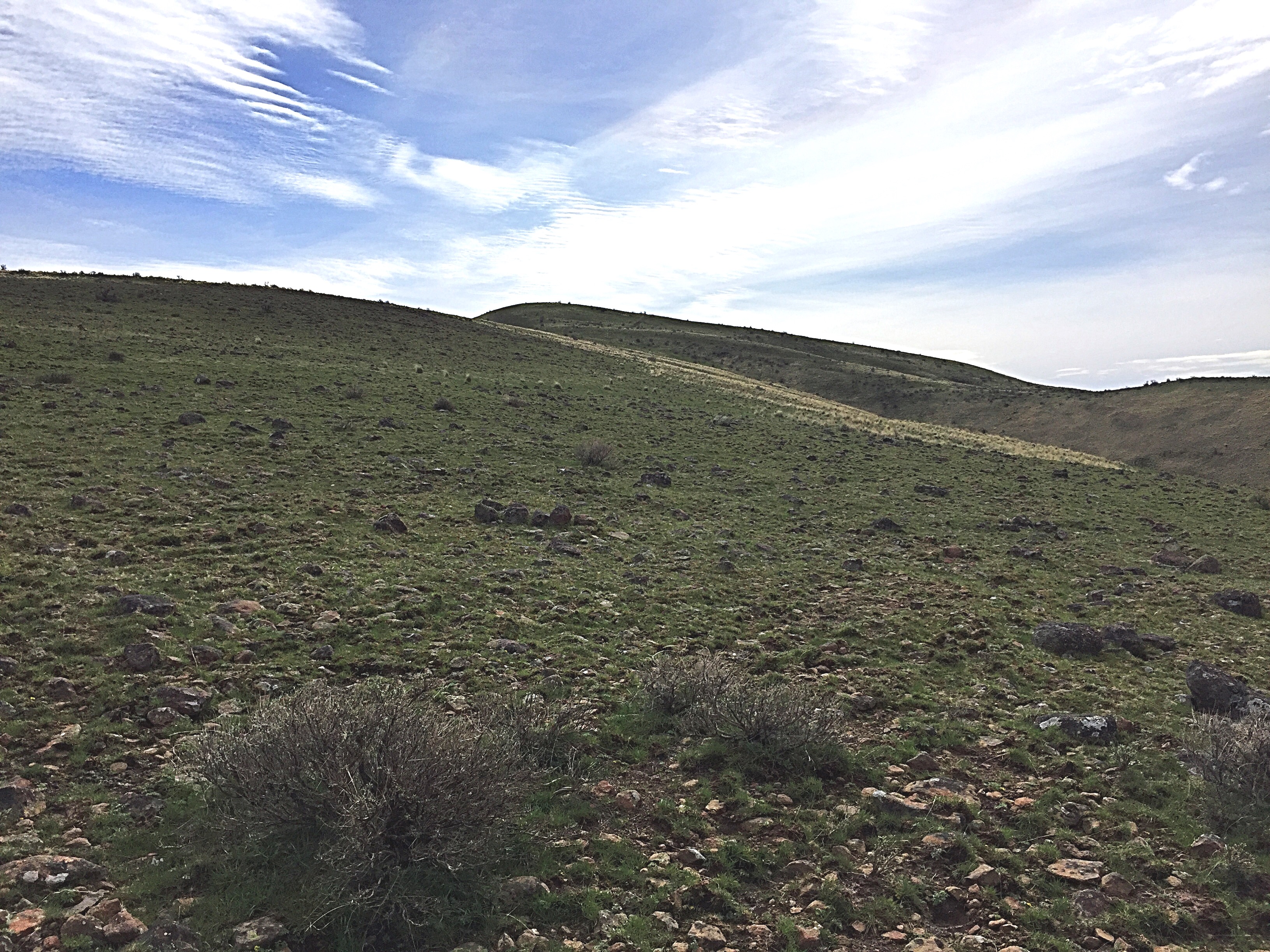
Peak 4767 as viewed from its Southern Summit, the Payette County High Point.
A 4WD vehicle with 4WD low gear range and proper tires (with off-road treads and 10-ply sidewalls) can easily make the summit. Since most 4WDs do not have adequate tires, I recommend walking the road. The Payette County High Point is just a 5-minute walk from the summit along the road. The summit views are expansive and you might see a wild horse or two along the way! The view from the summit includes the main West Mountains Crest, Shaffer Butte in the Boise Mountains, Squaw Butte, the Snake River Plain, the Elkhorn Mountains and Big Lookout in Oregon, the Hitt Mountains, the Cuddy Mountains and Council Mountain. Class 1. USGS Coonrod Gulch
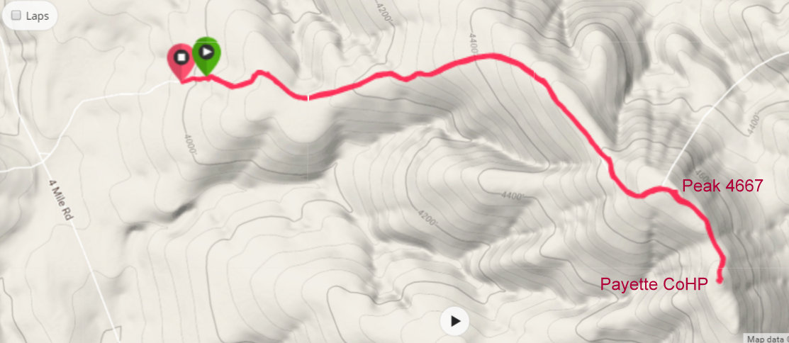
My GPS track.
Additional Resources
Regions: West Mountains->WESTERN IDAHO
Mountain Range: West Mountains
Year Climbed: 2017
Longitude: -116.47039 Latitude: 44.15339